Challenging

Thornton Lakes Trail

Steep forest climb to turquoise lakes and a jaw-dropping ridge
Thornton Lakes Trail, North Cascades National Park
Distance9.3 mi
Typical time6 hr
DifficultyChallenging
PetsNot allowed

Overview

Thornton Lakes is a strenuous, high-reward day hike with an optional ridge scramble to Trappers Peak. Expect a long forest climb to a crest with huge views and a short, very steep drop to the lower lake. It’s a choose-your-own-adventure: stop at the ridge for panoramas, descend to the water for a quiet shoreline, or tack on Trappers Peak for the blockbuster summit.

  • Distance and gain: about 9.3 miles round-trip to Lower Thornton Lake with roughly 2,950–3,000 feet of gain. Extending to Trappers Peak brings the total to about 10–12+ miles and 3,300–4,300 feet of gain, including roughly 1,000 feet in under a mile on the final ridge.
  • Time: most hikers take 5–7 hours for the lake; add more for the peak and photo stops.

Route Experience

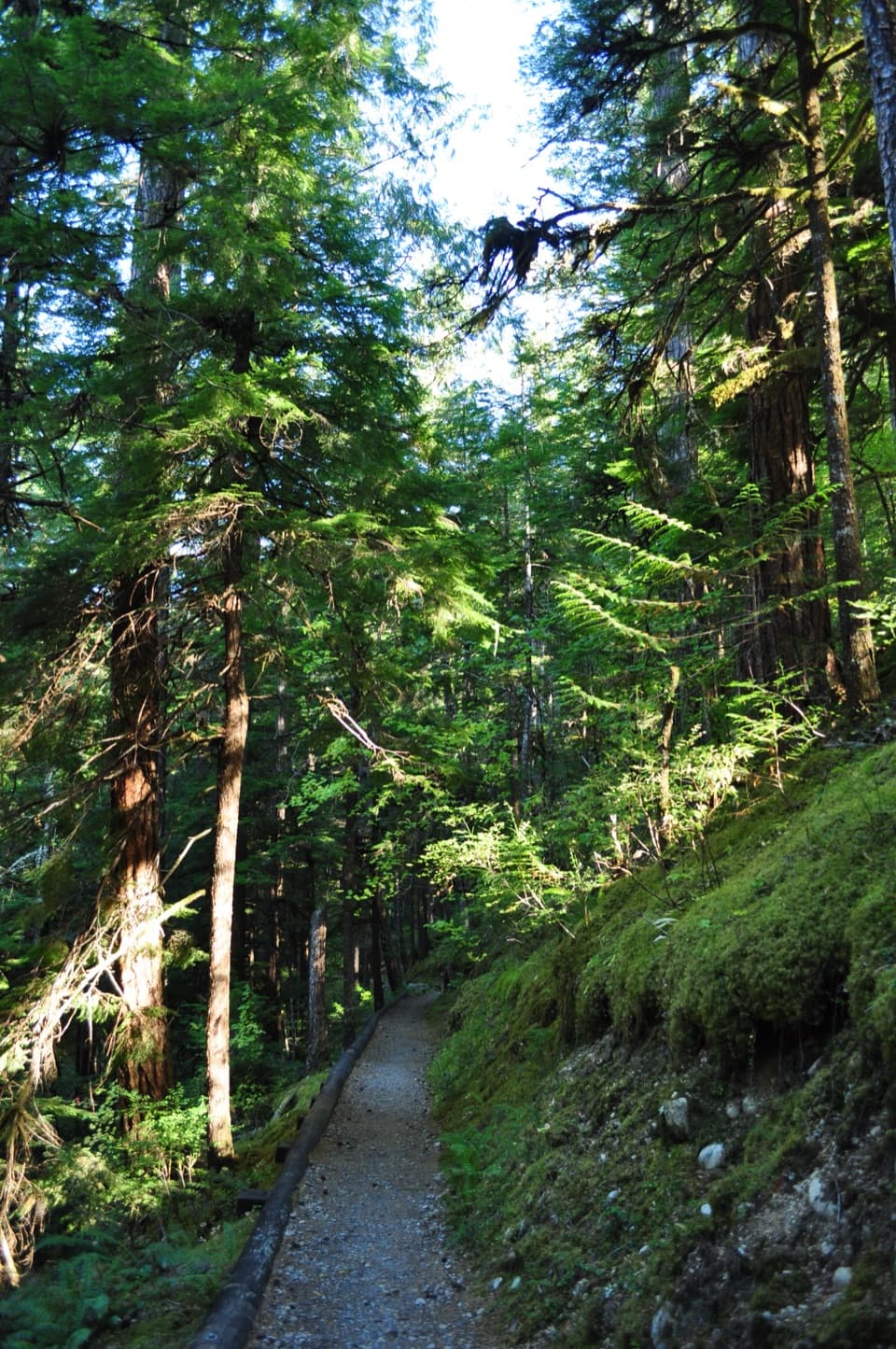
The first 2–2.3 miles follow an old road grade—gentle, brushy, and mostly shaded. Then the trail steepens into sustained switchbacks through cool old-growth forest with roots and rocks underfoot. Around mile 4 you enter the national park and soon reach a signed junction on the ridge (roughly 4.2 miles in).

Left drops to Lower Thornton Lake: it’s just ~0.4 miles, but you’ll lose 600+ feet on a narrow, muddy, and sometimes slightly exposed path. Shore access is limited—reaching the designated camp area typically involves careful moves across big, often slippery boulders and floating logs at the outlet. Right heads for Trappers Peak: a rugged climber’s path gains ~1,000 feet in under a mile with hands-on sections. There isn’t much true exposure, but the terrain is serious—most hikers find the views just below the top more than enough if the final scramble feels sketchy.

Scenery and Nature

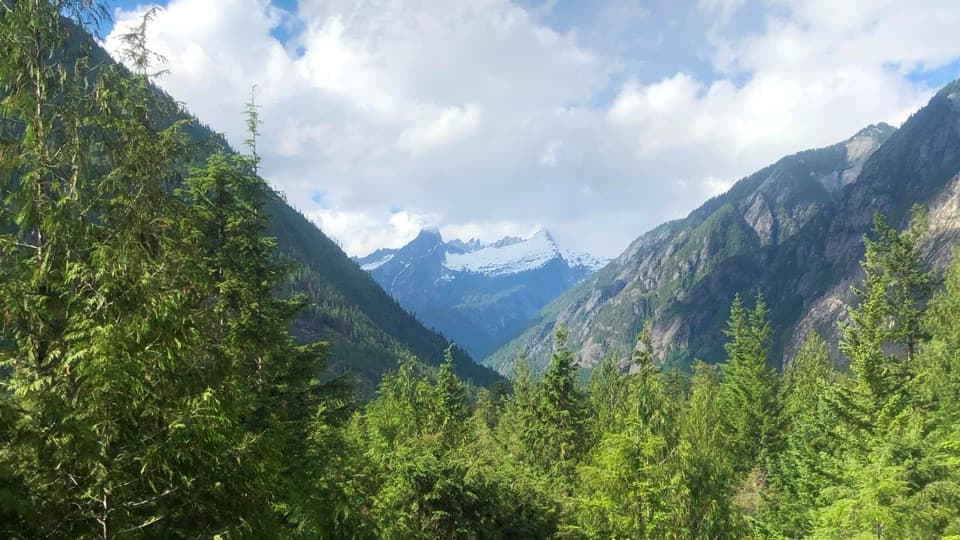
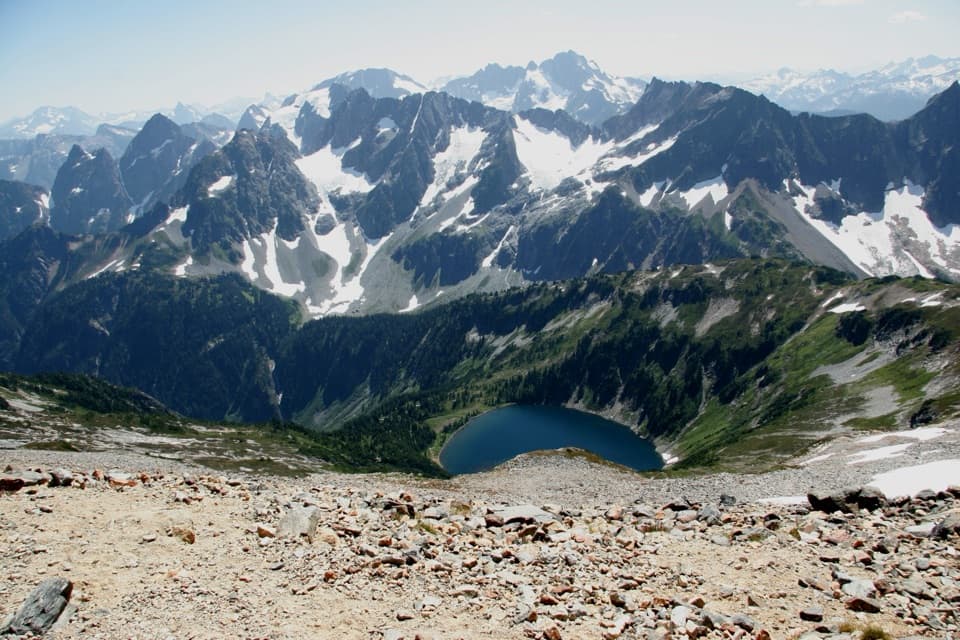
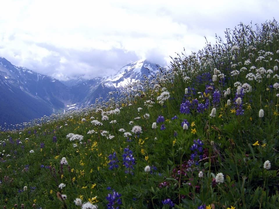
From the ridge and peak, the Picket Range and Mount Triumph dominate the skyline, with the Skagit Valley spread below. The lakes themselves glow that classic North Cascades turquoise, especially striking on clear summer days. Along the way, you’ll pass heather and huckleberry meadows and summer wildflowers like lupine. Wildlife sightings can include deer, bear, and marmots—store food properly and give animals space.

Best Time to Hike

Late June through August offers the most reliable conditions; July–October is often prime if you prefer less snow and steadier weather. Snow can linger well into summer on steep sections, particularly near the ridge and peak. Start early for parking, cooler temps, and softer light; weekdays are quieter than weekends.

Camping and Permits

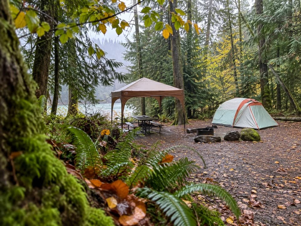
Designated backcountry sites sit at Lower Thornton Lake and require a permit obtained in Marblemount. No fires. Camping is not allowed on the ridge or at Trappers Peak. Day hiking does not require a permit.

Getting There and Parking

From SR 20 east of Marblemount, turn onto Thornton Lakes Road and follow it roughly 5 miles to the end. The road is narrow, steep in places, and riddled with potholes—high-clearance is recommended and low-clearance vehicles often struggle. Parking is limited; an early start helps.

Tips

  • Footing matters: sturdy boots and trekking poles shine on the steep, rooty, and muddy sections—especially the descent to the lake.
  • Early season: expect steep snow; traction and an ice axe—and the skill to use them—may be necessary.
  • Water is available low on the trail and at the lake; it can be scarce on the ridge—carry enough or bring a filter.
  • Many hikers are happy with the ridge views and skip the lake drop; if you want a swim on a warm day, brace for a cold plunge.

Pros

  • Choose-your-own finale: ridge panoramas, lakeshore downtime, or a peak push from one trail.
  • Shaded old-growth keeps the climb cooler on warm days.

Cons

  • The short descent to the lake is extremely steep and muddy, with 600+ feet to re-gain.
  • Lake access can require slippery boulder and log moves at the outlet.

Parking

Small trailhead lot at the end of rough, 5-mile Thornton Lakes Road off SR 20; arrive early. Road is narrow with potholes—high-clearance recommended and drive slowly.

Caution

Steep, rooty, and muddy tread; very steep 0.4-mile drop to the lake with limited shoreline access and slippery boulders/logs. Multiple boot paths near the ridge and peak. Early-season snow may require traction and an ice axe. Rough access road. No pets beyond the park boundary; no fires; camping by permit only.

The Parkwolf tour guide sitting on a phone mounted in a car

Parkwolf Tour Guide

Like a tour guide in your car.

Bring North Cascades trail research into the car, with offline maps and stories that play as you drive.Download Parkwolf on the App Store