
Place · 0.1 mi away
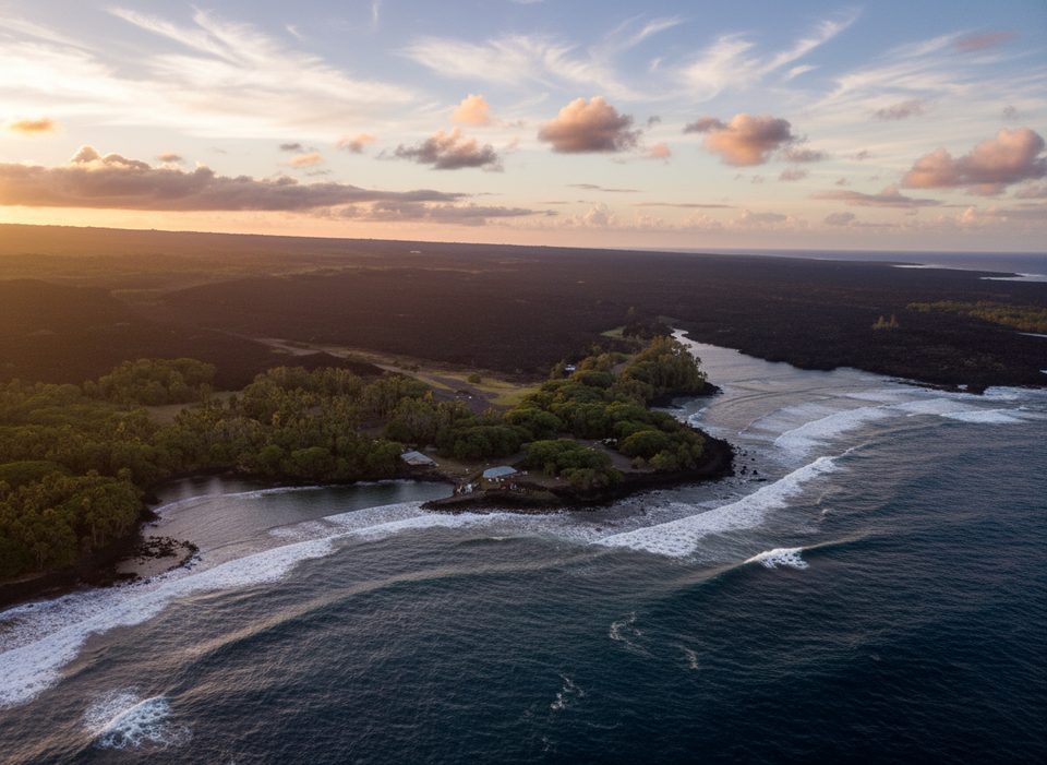
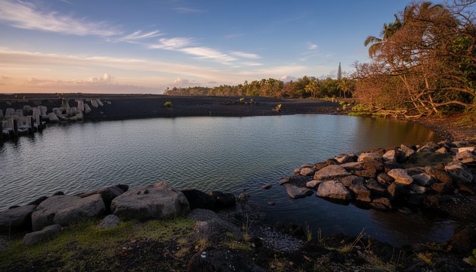
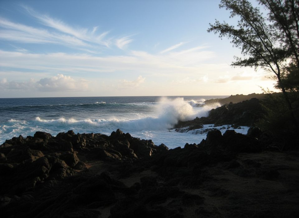
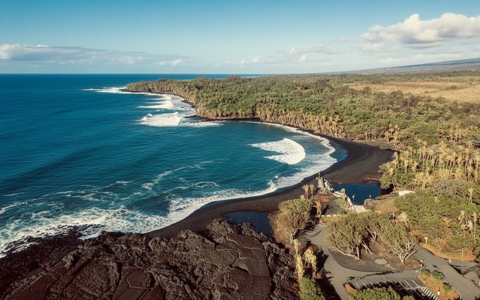
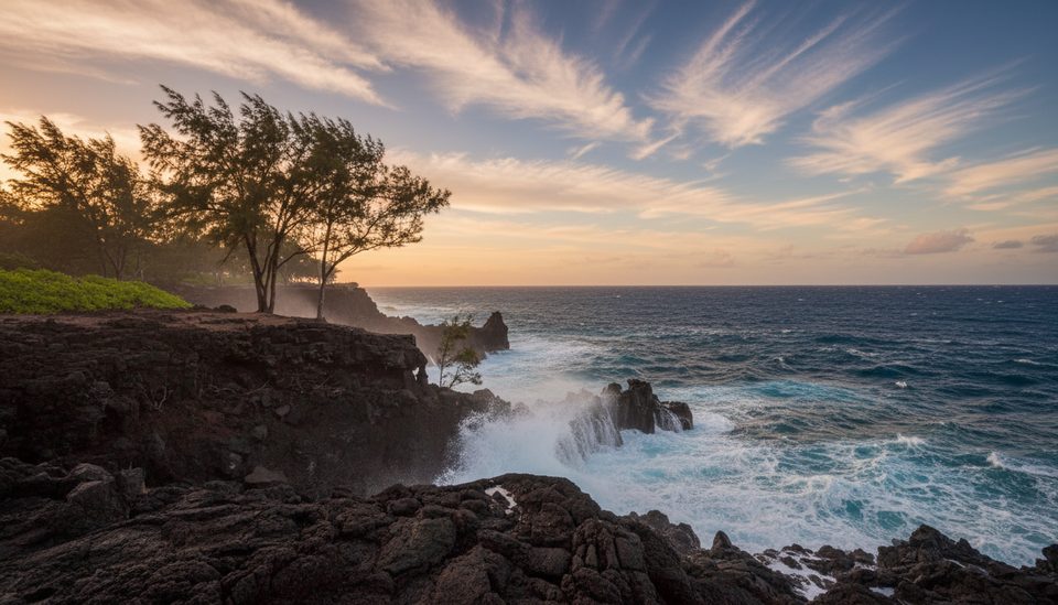
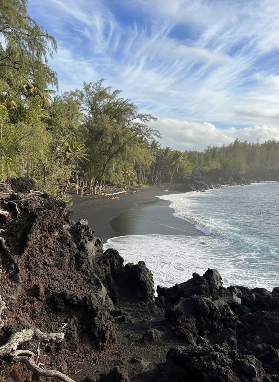
The 2018 Pohoiki Lava Delta is the freshest slice of coastline on the Red Road—new land created when Kīlauea’s 2018 flows hit the ocean and built out a coastal bench. That eruption added roughly 875 acres of shoreline, including this delta at Pohoiki Bay. It’s dramatic, raw, and still settling into shape.
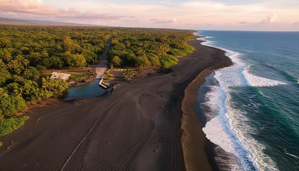
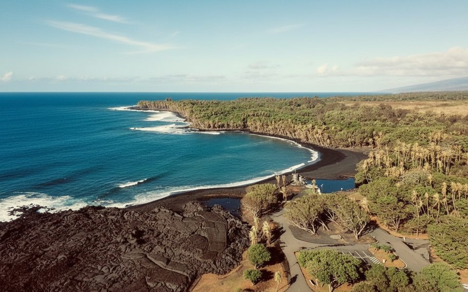
You’re looking at a crust of solid lava sitting atop loose, glassy rubble (hyaloclastite). Longshore currents that carved out Pohoiki’s new black‑sand beach also nibble at the delta’s edges, so the scene here is never static. Think crashing Pacific, fresh lava textures, and a living lesson in coastal change.
These benches are inherently unstable. A close analog—the 1960 Kapoho delta—retreated landward by roughly 200 feet in many spots over the following decades, mostly through gradual erosion. Along the 2018 edge, widening cracks signal the surface is losing support as the loose base compacts or is scoured away. Expect occasional small slumps (tens of feet of edge) rather than giant, single‑event failures, but even minor collapses can toss debris into heavy surf and send short‑lived, localized waves into nearby bays like Pohoiki.
On August 18, 2025, Hawaiʻi DLNR reminded visitors that 2018 coastal lands remain unpredictable, with concealed fissures and unstable edges—use extreme caution around Kapoho, Pohoiki, Mālama, and Kalapana. USGS notes these cracks do not signal renewed activity on the Lower East Rift Zone; since 2018, unrest has been confined to episodic summit eruptions begun December 23, 2024. Translation: the delta is eroding, not erupting—but it’s still hazardous. Stay well back from the edge, avoid cracked ground and sea cliffs, and skip visits during high surf.
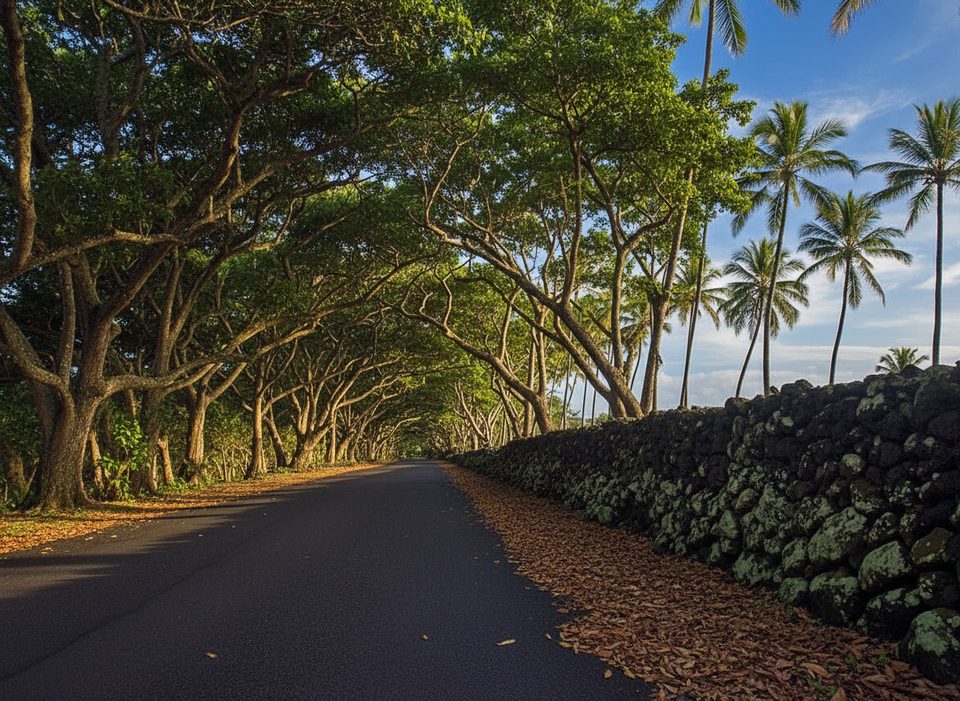
If you need facilities, Isaac Hale (Pohoiki) Beach Park sits next door to the new beach: portable toilets, a lifeguard tower, and no drinking water—bring your own. The Red Road (Hwy 137) is the classic way to reach this area, weaving past lush forest and recent lava.
There’s no magical hour here—conditions rule. Aim for calm‑surf days and broad daylight for safest viewing. Always check same‑day updates from USGS HVO and Hawaiʻi DLNR, and turn around if surf is pounding or closures are posted.
Place · 0.1 mi away
Place · 0.1 mi away
Place · 0.1 mi away
Place · 2 mi away
Easy · 0.1 mi away
Easy · 2 mi away
Moderate · 2 mi away
Moderate · 7.1 mi away

Parkwolf Tour Guide
