
Place · 4.5 mi away
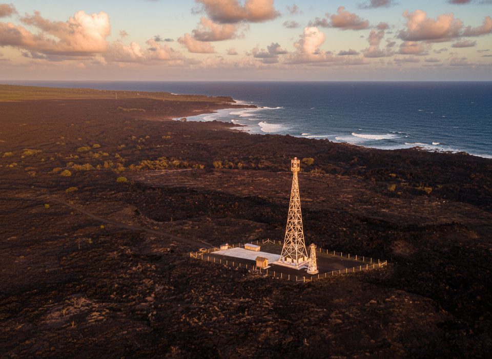
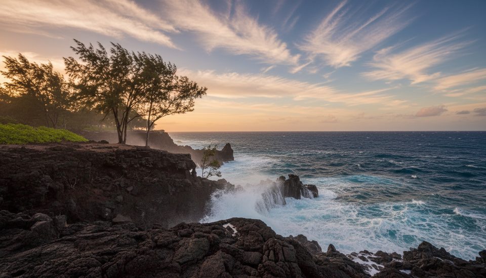
Cape Kumukahi Lighthouse sits at the island’s far eastern tip, where barren, undulating lava rock meets rough ocean. It’s a stark, beautiful stop tied closely to the Red Road drive and to Kīlauea’s volatile east rift zone.
The current square, skeletal tower went up in 1934 (replacing a 1928 light) and stands about 125 feet. Engineers set it on two concrete blocks separated by a thick layer of sand to absorb earthquake shocks—an unusual foundation for a lighthouse. In 1960, when lava destroyed Kapoho and the keepers’ homes and orchards, the flow split just feet from the tower and went around it. The station was later fully automated and remains an active navigational aid.
“Kumukahi” translates to “first beginning.” Local tradition ties this cape to origin stories and to Pele; some versions link the lighthouse’s survival to those mo‘olelo. You can also find the rectangular base of a heiau in the area.
There’s no visitor center or tours, and there are no public facilities. Access and roadside viewing can change; the area has been barriered/closed at times for safety and cultural-resource protection. The road past the Red Road junction toward the light is unpaved. If you go, respect all signage and closures, take it slow on the narrow Red Road, use designated pullouts, and don’t leave valuables in your vehicle.
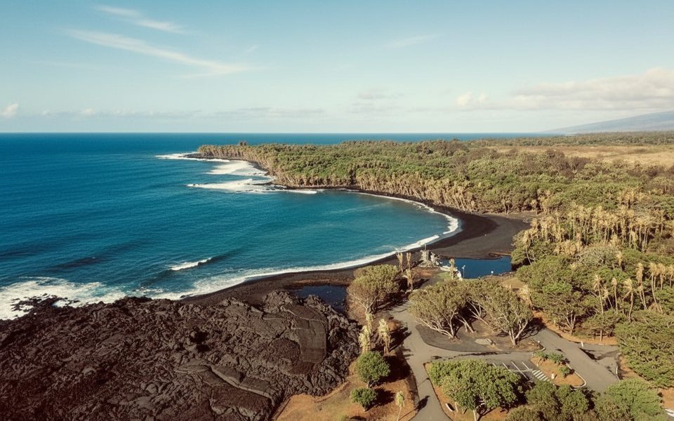
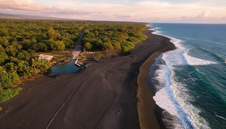
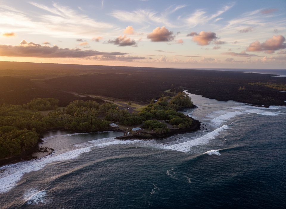
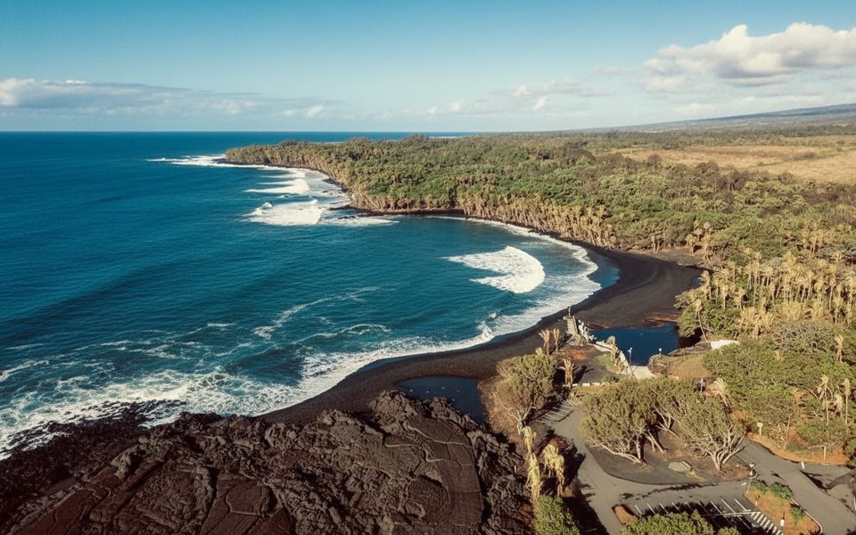
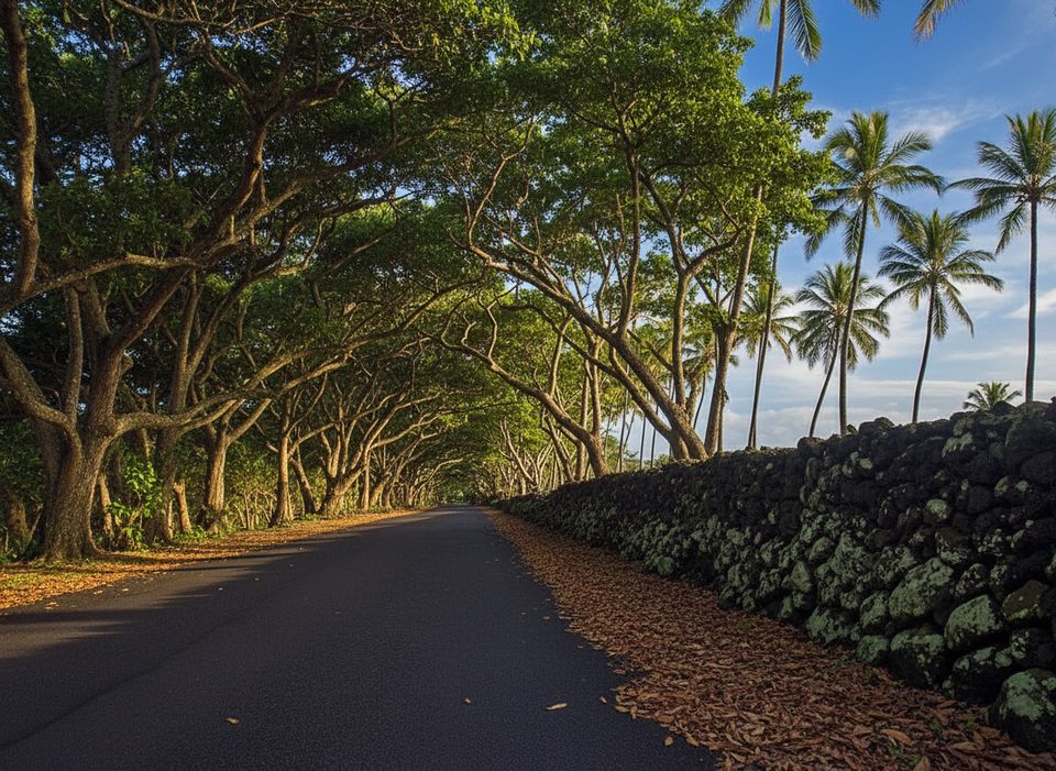
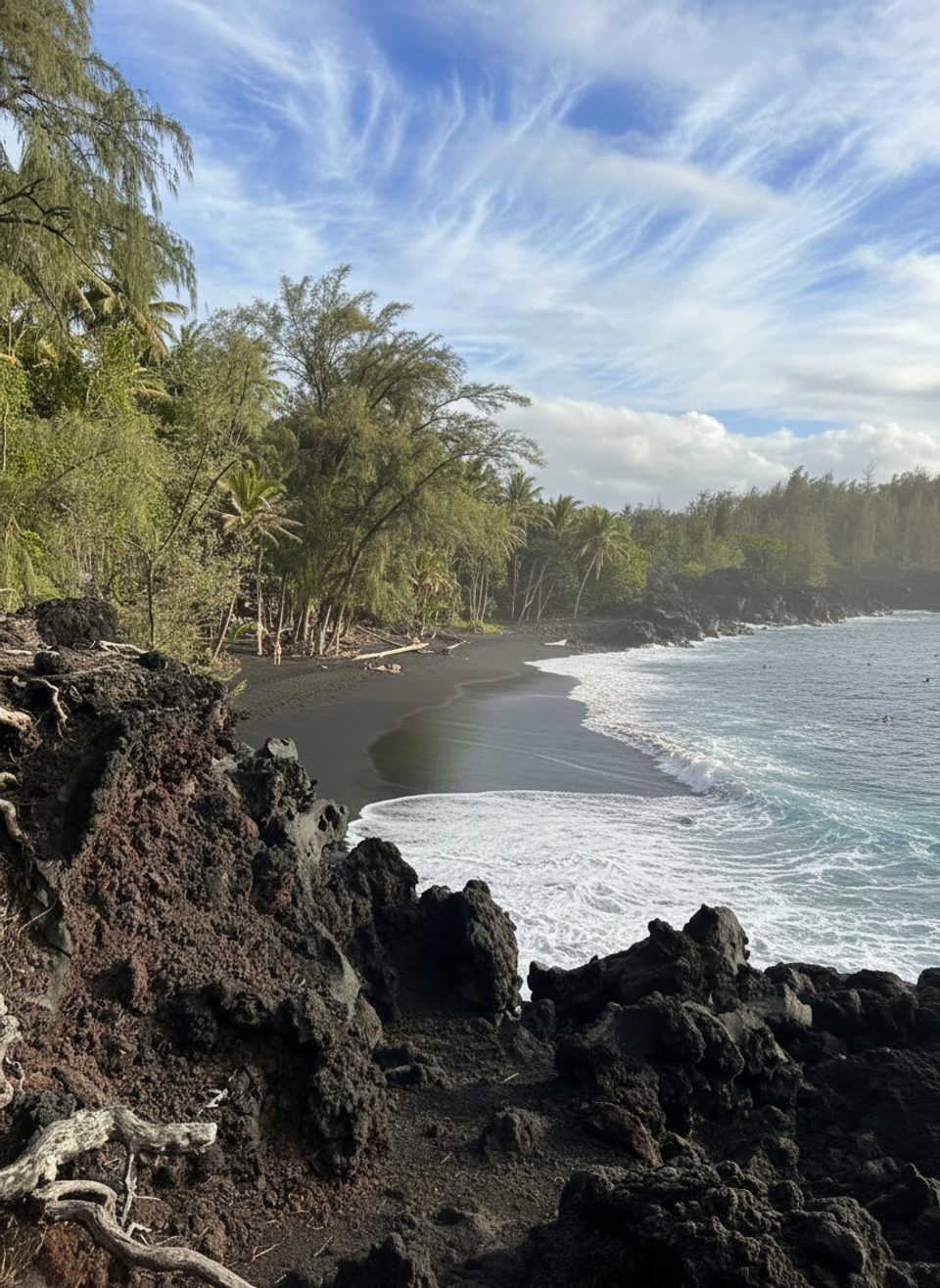
The Kalapana–Kapoho (Hwy 137) “Red Road” is a narrow, winding coastal drive through forest, cliffs, and lava fields. The Kapoho end was buried by 2018 flows; most visitors now travel between Kalapana and Pohoiki. Notable stops include Kaimū Black Sand Beach, Kehena Beach, MacKenzie State Park, and Pohoiki (Isaac Hale Beach Park) with its new black sand. Expect low posted speeds, blind curves, and limited parking—use pullouts and don’t block traffic.
None at the lighthouse. Restrooms exist at MacKenzie State Recreation Area (day-use, no drinking water) and at Lava Tree State Monument (restrooms and picnic tables; no drinking water). Isaac Hale Beach Park (Pohoiki) has outhouses but is temporarily closed starting September 2, 2025 for boat-ramp dredging—check status before you go.
There are no posted hours here, but access can change. Visit only when signage allows and pair it with a slow Red Road day. If you like local flavor, Saturday aligns with the Uncle Robert’s market near Kalapana, which makes a convenient start or finish to the drive.
Place · 4.5 mi away
Place · 4.5 mi away
Place · 4.5 mi away
Place · 4.6 mi away
Easy · 4.5 mi away
Easy · 6.6 mi away
Moderate · 6.6 mi away
Moderate · 11.5 mi away

Parkwolf Tour Guide
