
Place · 0.1 mi away
Challenging
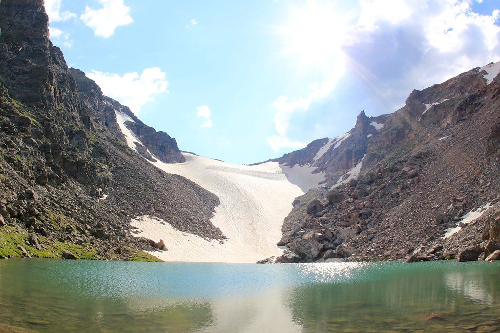
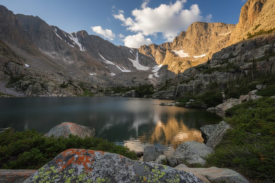
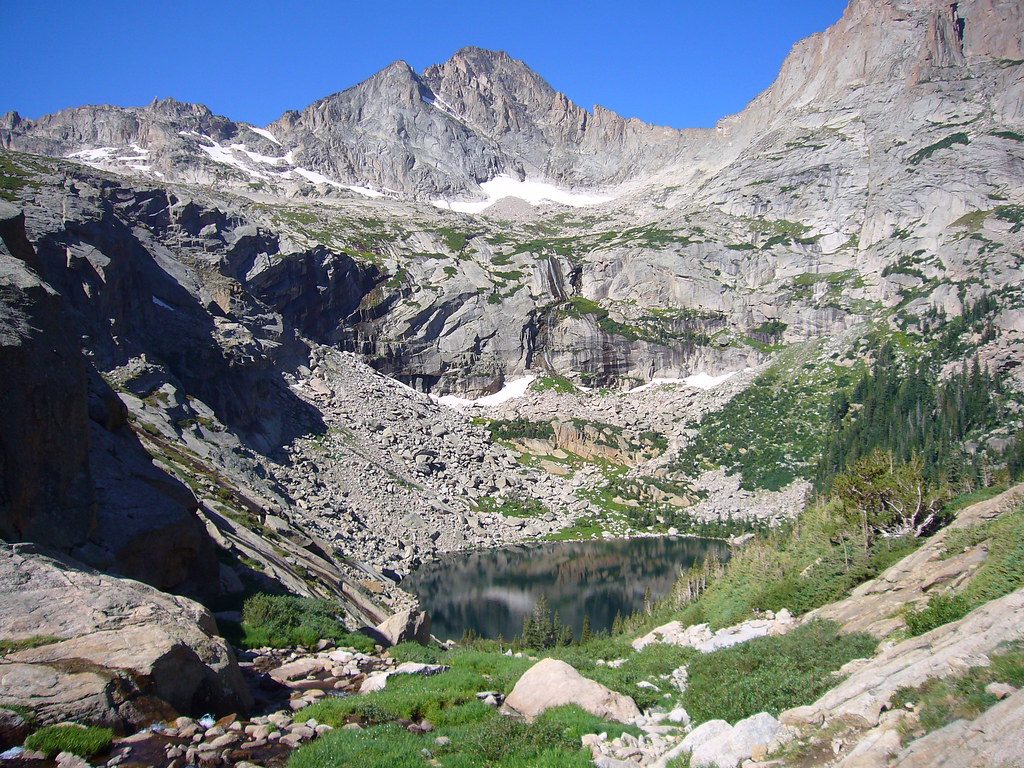
This is a big-mountain day: 9.2–9.3 miles total, out-and-back, with roughly 2,200–2,300 feet of climbing to a high point near 11,380 feet. You’ll visit crowd-pleasing Alberta Falls and serene Loch Vale before the trail turns rugged and alpine, ending at Andrews Tarn tucked below the active Andrews Glacier. It’s gorgeous and committing—the last stretch feels more like light mountaineering than a casual hike.
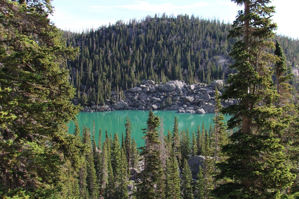
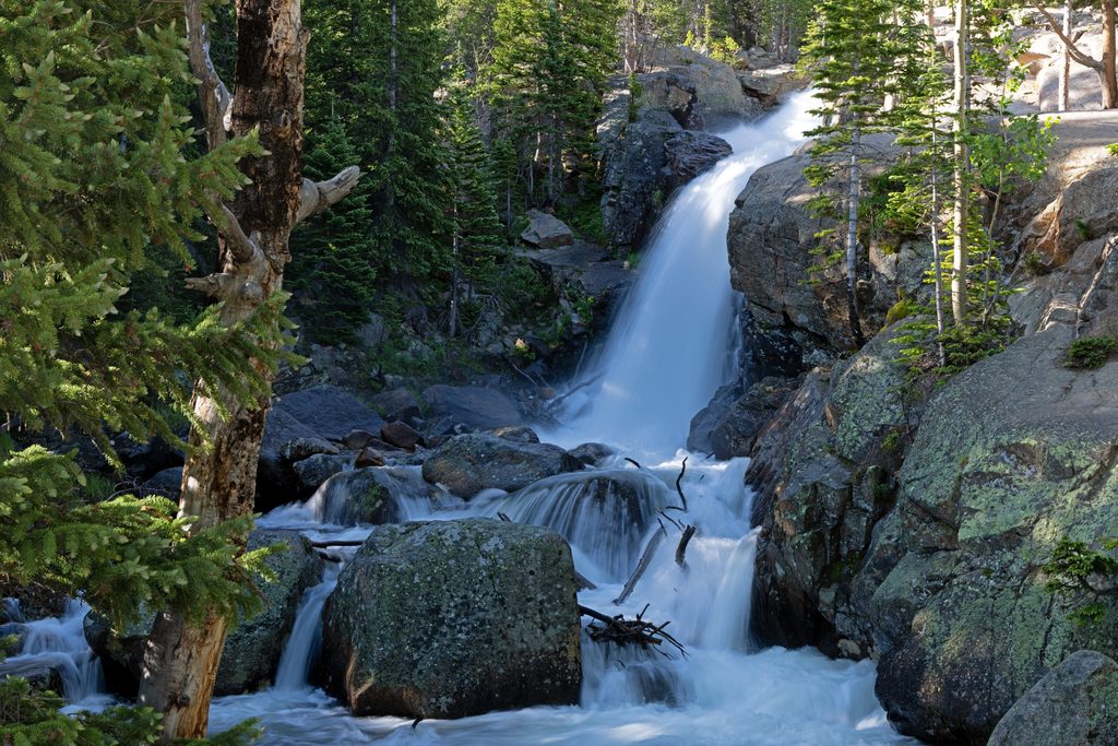
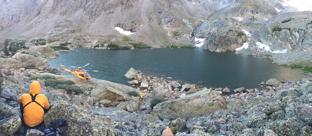
Start from Glacier Gorge Trailhead on Bear Lake Road. Reach Alberta Falls at about 0.8 mile, then continue past junctions toward The Loch, which comes around 2.8 miles. Past The Loch, the grade kicks up to a signed split around 3.6 miles; go right for Andrews Glacier (left heads to Sky Pond). Shortly after the split is the Andrews Creek backcountry campsite. The path gets rough: social trails through downed timber, a creek crossing, and then talus and scree. Follow cairns carefully. The glacier and tarn stay hidden until you crest the headwall—then the reveal is dramatic.
Andrews Tarn is a true glacier-fed lake, and Andrews Glacier is one of Colorado’s few glaciers that actually flows under its own weight. The upper route climbs well above treeline, so the views stretch across Loch Vale and toward high peaks. It’s a fantastic payoff if you’re comfortable on boulders and don’t mind a little route-finding.
Expect steep climbs and a tiring, bouldery final half-mile or so with intermittent cairns. Above-treeline exposure means wind and rapidly changing weather even in summer. Do not step onto the glacier without proper skills and equipment; slides here have had serious consequences. Winter and shoulder seasons can bring snowfields and avalanche risk—this is not a simple winter hike.
Generally best June through October, with an alpine start strongly recommended to beat afternoon thunderstorms and the parking rush. Early light on The Loch is beautiful, and being off the high, exposed terrain by early afternoon is smart.
Sturdy boots, trekking poles, warm layers, and a wind/rain shell are smart year-round. Gloves help both with cold winds and talus scrambling. If you plan to step onto the glacier (not required to see the tarn), bring traction and an ice axe—and know how to use them.
Glacier Gorge Trailhead fills early; the park shuttle along the Bear Lake corridor is often the best bet in peak season. Restrooms are at the trailhead. A designated backcountry campsite (Andrews Creek) sits just beyond the Andrews split; reserve in advance. Dogs are not allowed. Seasonal timed-entry permits may be required for the Bear Lake corridor—check current park rules before you go.
If you want waterfalls, a classic subalpine lake, and a wild, rocky finale to a high tarn beneath a glacier, this delivers in a big way. If loose rock, faint cairns, or exposure to fast-changing weather stress you out, consider turning around at The Loch or choosing a less committing objective the same day.
Park at Glacier Gorge Trailhead on Bear Lake Road; the small lot fills very early. Use the free park shuttle during peak season if lots are full. Restrooms available at the trailhead.
Steep talus and light route-finding near the end; lightning risk above treeline; glacier travel is hazardous without traction and an ice axe; winter conditions and avalanches make this route unsafe for casual hikers.
Place · 0.1 mi away
Place · 0.5 mi away
Place · 0.5 mi away
Place · 0.6 mi away
Moderate · 0 mi away
Challenging · 0 mi away
Challenging · 0 mi away
Challenging · 0 mi away

Parkwolf Tour Guide
