
Place · 0.1 mi away
Challenging
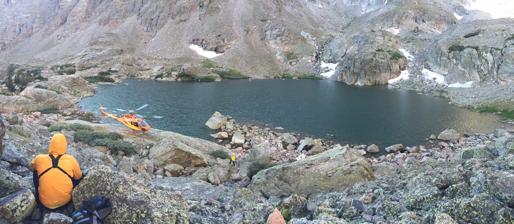
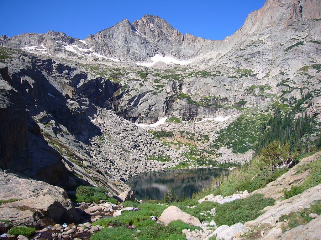
Sky Pond is one of Rocky’s marquee alpine lake hikes, and it earns the hype. Expect 8.6–9.5 miles total (round trip) with roughly 1,700–2,100 feet of gain depending on where you start and minor GPS variance. You’ll pass a classic waterfall, traverse forested valleys, and finish in a dramatic cirque beneath soaring spires and the face of Taylor Glacier. It’s strenuous, but if you’re up for a short, hands‑on scramble and the altitude, the payoff is superb.
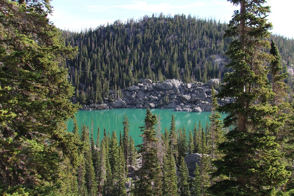
From the Glacier Gorge area, the trail warms up fast with Alberta Falls, then climbs gradually along Icy Brook toward The Loch (Loch Vale) — a worthy photo stop. Above, steeper switchbacks lead to Timberline Falls. Here’s the crux: a roughly 100‑foot rocky ascent beside/through the waterfall that can be wet and slick. Immediately on top sits Lake of Glass; don’t turn around yet — Sky Pond is about a half mile farther over boulders to a broad, nearly flat basin framed by cathedral‑like cliffs.
Plan on 4–6 hours of moving time for most hikers, longer with breaks at the lakes. The waterfall scramble is the trickiest section and where many parties slow down — good footwear and patience help. The high point is around 10,880 feet, so the altitude adds effort even on moderate grades.
Late June through September offers the most reliable footing. Snow and ice can linger into early summer (and return early in fall), making the scramble and shaded sections icy — traction may be needed outside midsummer. Summer afternoons often bring thunderstorms; start early so you’re descending before things build. Weekdays and very early starts help with crowds and parking.
The shortest approach starts at Glacier Gorge Junction, but that small lot often fills before or around dawn. The Bear Lake lot is larger and a solid backup, adding roughly 0.4 miles round trip. When the Bear Lake area shuttle is running, it’s a good Plan B — but you still need the correct timed‑entry reservation when in effect.
Timed‑entry reservations are required in peak season for the Bear Lake Road corridor. Typical seasonal windows require the Bear Lake Road reservation from early morning into evening, and a separate, shorter window applies park‑wide. If you don’t have the right reservation, enter outside the enforcement hours — just know parking fills very early on popular days.
If you have gas left, a quick spur to Mills Lake can be tacked on from a junction lower on the route (adds about 1.4 miles and ~200 feet round trip). It’s a worthy add for big‑view lakes lovers.
Best to start at Glacier Gorge Junction (small lot that fills very early). Bear Lake Trailhead is a larger alternative and adds ~0.4 miles round trip. The Bear Lake corridor shuttle is a solid backup when operating, but you must still have the correct timed-entry reservation during enforcement hours.
Expect a wet, slick scramble up Timberline Falls; use hands and careful footwork. Snow and ice linger outside midsummer—carry traction in shoulder seasons/winter. Summer thunderstorms build by early afternoon; start early. Altitude is significant near 11,000 feet. Cell service is unreliable for most of the hike.
Place · 0.1 mi away
Place · 0.5 mi away
Place · 0.5 mi away
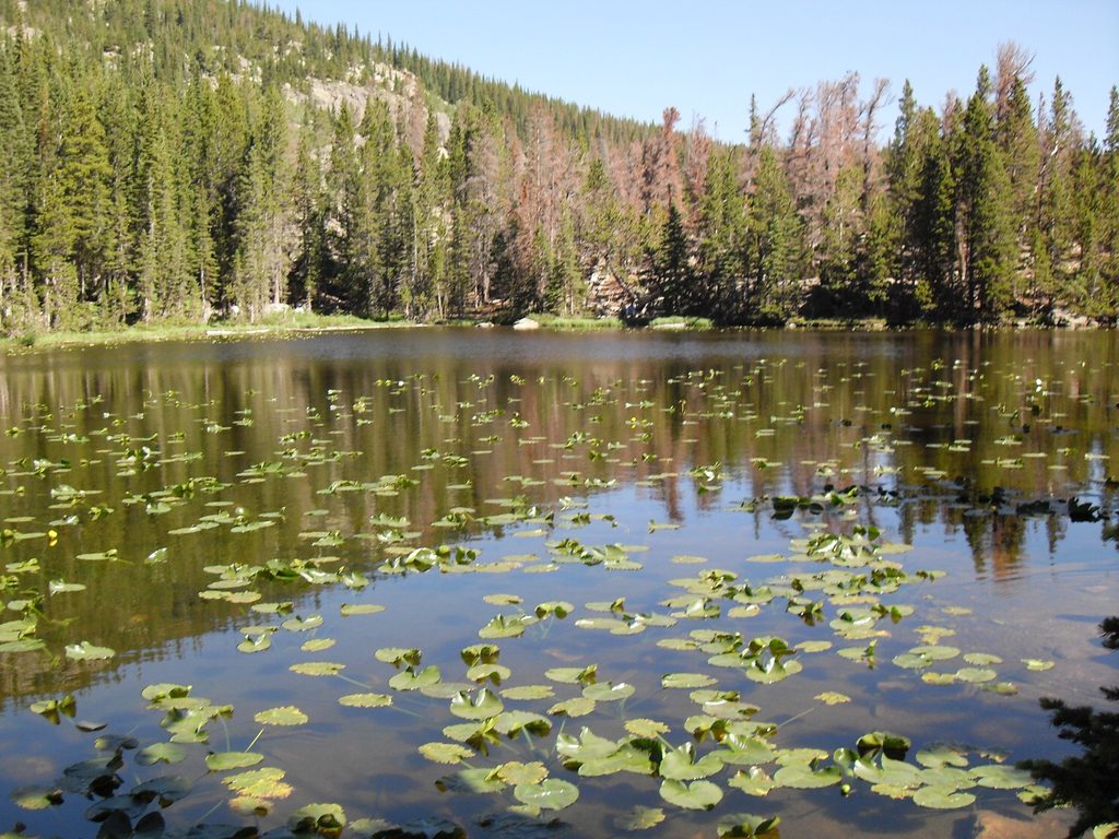
Place · 0.6 mi away
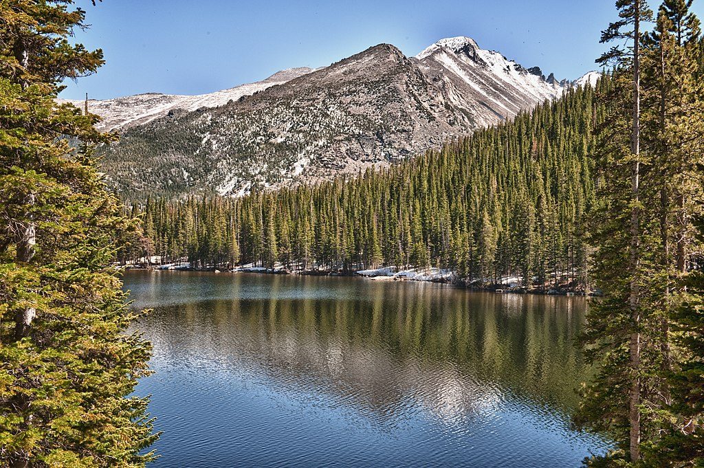
Moderate · 0 mi away
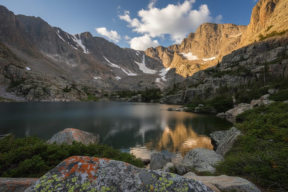
Challenging · 0 mi away
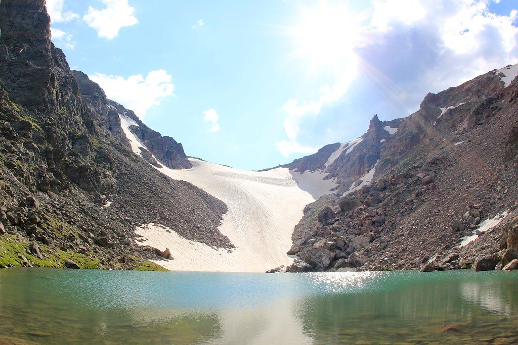
Challenging · 0 mi away
Challenging · 0 mi away

Parkwolf Tour Guide
