
Place · 0 mi away
Moderate
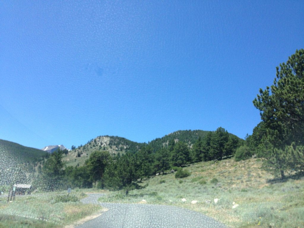
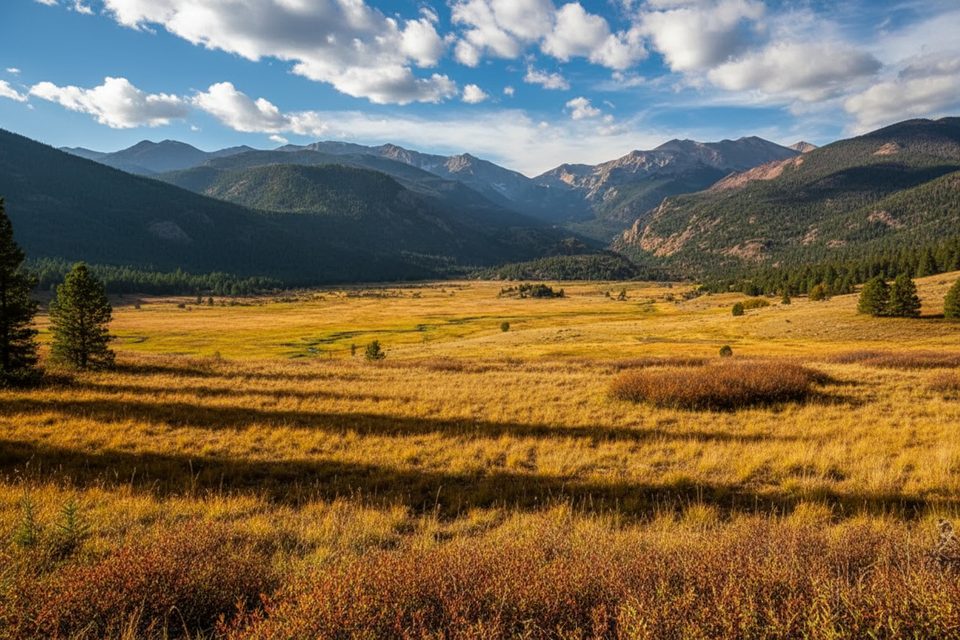
Looking to dodge the Bear Lake crowds without sacrificing views? Mill Creek Basin delivers a mellow, scenic sampler of RMNP: open meadow vistas (with Longs Peak peeking out), shady pine–aspen forest, and a lively creek. From Hollowell Park, the classic loop is about 3.6 miles total with roughly 692 feet of gain—solidly moderate and usually far less busy than the marquee trails nearby. If you prefer an out‑and‑back to the basin meadows, expect about 1.9 miles each way and ~600 feet of gain.
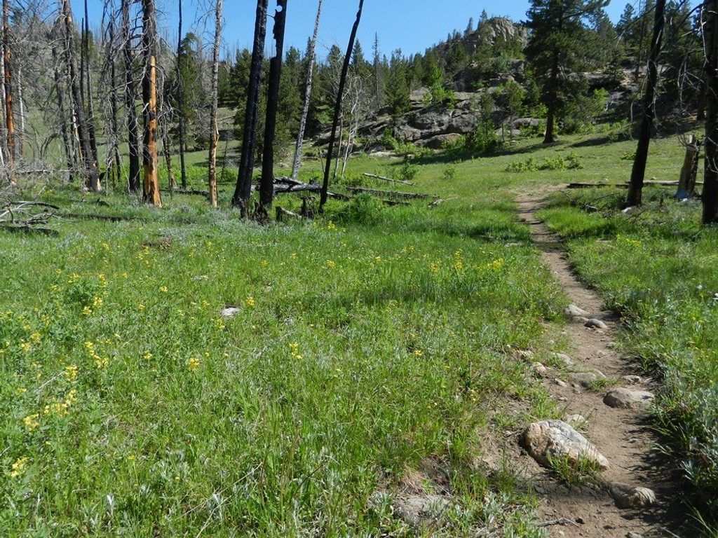
Most hikers start at Hollowell Park, following Mill Creek through forest to broad meadows in the basin. The loop’s back half is the wild card: reports note overgrowth, slick footing, and a section through a burn area. On days when it looks brushy or muddy, do an out‑and‑back to the meadows or continue toward Bierstadt Lake instead. Extending to Bierstadt Lake turns this into a quieter 6.3‑mile outing with about 1,266 feet of gain and bigger views.
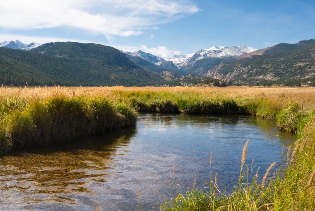
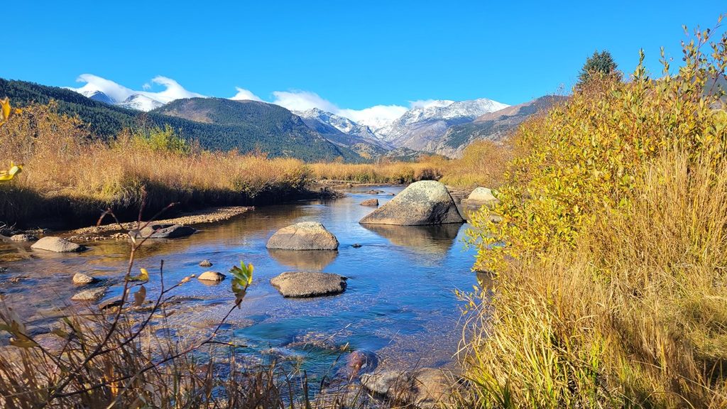
It’s a shapeshifter of a hike: sunlit grasslands rolling into cool conifers and aspens, then a wooden creek crossing and wide basin meadows—especially photogenic in autumn. Keep your eyes peeled for moose and deer browsing along wetter stretches. Underfoot and under it all are ancient metamorphic and granitic rocks, and the basin’s gentle contours echo the park’s long glacial history.
Expect a few steeper pitches and potentially slick, muddy, or brushy segments on the lesser‑used side of the loop. Sturdy boots and trekking poles are smart. In late fall through spring, traction (microspikes or snowshoes, depending on conditions) can be necessary. Cell service is unreliable here—download an offline map before you go.
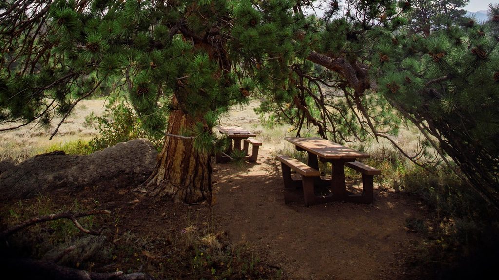
For an easy family‑friendly overnight, the designated Mill Creek Basin backcountry campsite sits around 1.8 miles from Hollowell Park (about 9,000 feet). There are two sites and a privy. Treat water from Mill Creek, use a stove (no campfires), and carry a bear‑resistant canister from April 1 to October 31.
Spring and fall shine here. Hollowell Park’s lower elevation often melts out earlier than higher trailheads, making this a good shoulder‑season bet. Mornings bring cooler temps, calmer winds, better wildlife chances, and soft light across the meadows. Summer is pleasant and still comparatively quiet if you start early. Winter can be beautiful but demands proper traction and layers.
Park at Hollowell Park along Bear Lake Road; it’s typically easier to find a spot here than at the namesake hotspots up‑road. During the peak season, the Bear Lake Road corridor uses timed entry—reserve ahead for hassle‑free access. If the back half of the loop looks rough, pivot to an out‑and‑back or the Bierstadt extension for better footing.
Hollowell Park Trailhead on Bear Lake Road: from Beaver Meadows Visitor Center, go ~1.3 miles on US 36 to Bear Lake Road, turn left, then continue ~3.7 miles to Hollowell Park; trailhead is at the west end. Timed-entry reservations are required in season.
Unreliable cell service; download maps. Burned/overgrown loop segment can be slick—consider an out-and-back if conditions are poor. In winter/shoulder seasons, bring traction. Treat creek water. No campfires at the backcountry site; bear canister required Apr 1–Oct 31. Timed entry applies to the corridor in peak season.
Place · 0 mi away
Place · 0.2 mi away
Place · 0.8 mi away
Place · 0.8 mi away
Easy · 1.5 mi away
Easy · 1.6 mi away
Moderate · 1.6 mi away
Challenging · 1.6 mi away

Parkwolf Tour Guide
