
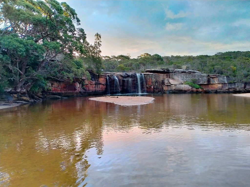
Place · 0.1 mi away
Moderate
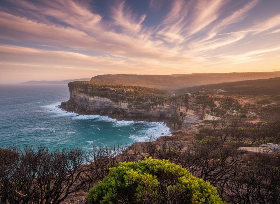
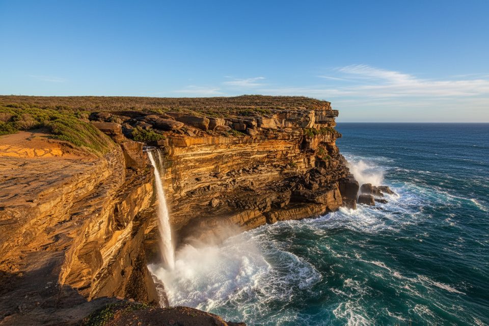
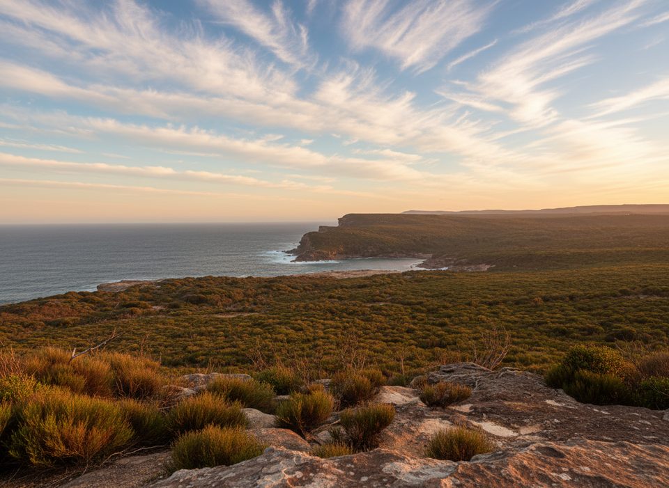
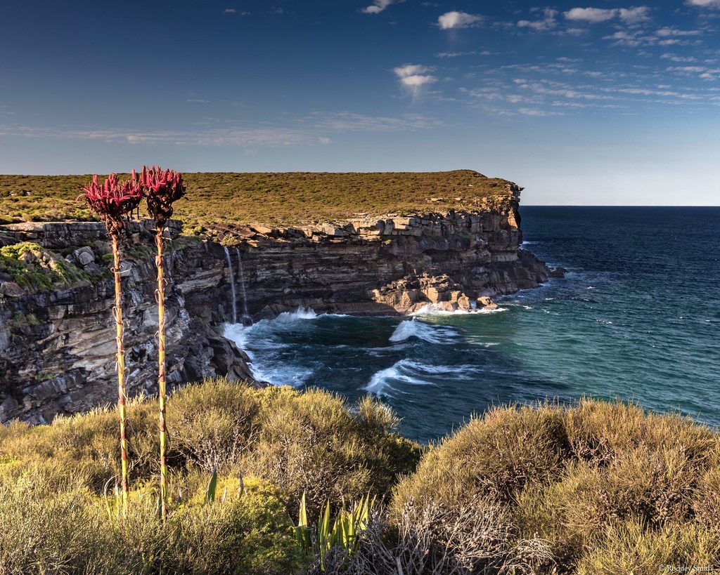
This is the punchiest slice of the Coast Track: rolling clifftops, windy heath, and a finish at Wattamolla’s calm lagoon. Expect about 16 km/9.9 miles total if you do it as an out-and-back, or 6–8 km one way with a car shuffle. Surfaces swing from metal boardwalk to sandstone slabs and soft beach sand.
The grade is solidly moderate: constant undulation, stairs, and a few rocky/sandy sections. It’s very exposed—sun and wind are the default—so the walk feels tougher on hot or gusty days. There’s no drinking water on the track. Toilets at Garie and Wattamolla; Garie also has showers, and its beach is patrolled by surf life savers intermittently in summer. Navigation is straightforward on a signed track, but mobile reception can be patchy—download maps on the NPWS app before you go.
Most walkers either return the same way or arrange a one‑way shuttle between the Garie Beach and Wattamolla car parks. No public transport reaches these trailheads. Park entry fees apply, and the Garie car park is locked overnight—plan to finish before sunset. Weekends and holidays fill parking quickly.
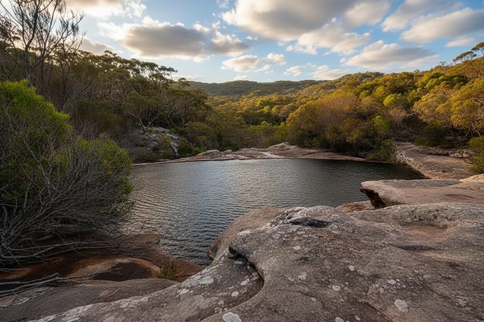
You’re walking atop wind‑sculpted Triassic sandstone with ironstone banding, across coastal heath that blooms seasonally and pockets of rainforest in gullies. Keep an eye out for seabirds year‑round and humpback whales cruising past May–October.
Year‑round is fine, but cooler months or an early start are far more comfortable given the exposure. Skip days of extreme heat, strong winds, or after heavy rain when rock can be slick. Always keep well back from cliff edges and check NPWS alerts the morning of your walk.
Park at either Garie Beach or Wattamolla picnic area (fees apply). Arrive early on weekends/holidays; Garie car park is locked overnight.
Highly exposed clifftops with barriers in places; stay well back from edges. Track can be slick after rain. No drinking water; mobile reception is patchy; no public transport to either trailhead.
Place · 0.1 mi away

Place · 0.1 mi away
Place · 0.1 mi away
Place · 0.4 mi away
Moderate · 0 mi away
Easy · 0 mi away
Easy · 0 mi away
Moderate · 0.1 mi away

Parkwolf Tour Guide
