
Place · 0.1 mi away
Challenging
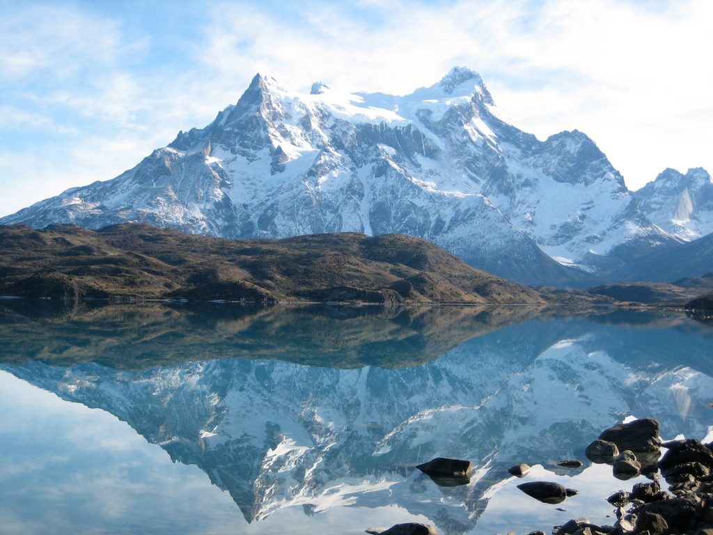
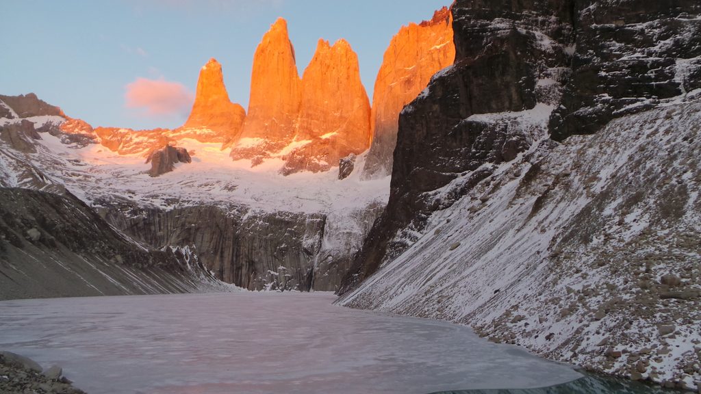
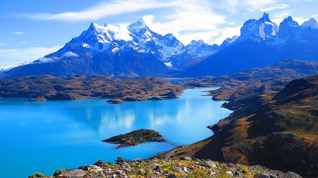
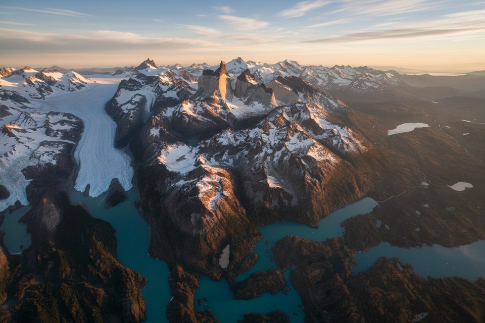
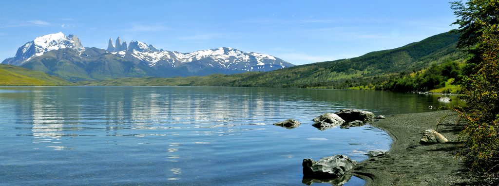
Cerro Paine is the most accessible peak of the Paine Massif if you’re game for a big climb. Expect an all‑day effort with huge payoffs: sweeping views of the three Torres, Los Cuernos, the Ascencio Valley, and the lake chain in a single spin. Typical stats land around 9–10 miles round trip (out‑and‑back) with roughly 1,300–1,500 m of elevation gain to a summit near 1,500 m. It’s demanding, windy, and far quieter than the headline treks—perfect if you want the Torres without the conga line.
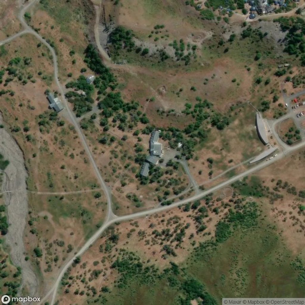
Start near the Welcome Center/Las Torres in the park’s eastern sector. The trail climbs immediately through lenga forest before popping above treeline onto broad, exposed slopes. A classic intermediate stop is the D’Agostini viewpoint; press on for the 360° summit panorama over Lakes Nordenskjöld and Sarmiento, the Paine River valley, and the Towers themselves. Return the same way. Under good conditions most hikers take 7–10 hours; plan conservatively.
This is a geologist’s postcard. The Paine Massif is a shallow magmatic intrusion later carved by repeated glaciations, which is why the skyline flashes that light granite band against darker sedimentary layers. On a clear day you can read the whole park in one sweep—Towers, Cuernos, valleys, and ice—without the usual crowds.
October–April brings the longest days and generally the best access, though wind can still be brutal. In winter (roughly May–August), certified guides and specific safety gear are required by park authorities for mountain trails, with restrictions easing as conditions improve toward September. Weather and wind can trigger day‑of closures any time of year. As of November 18, 2025, the O Circuit was closed while the W Circuit and Base Torres remained open under heightened safety guidance; always confirm current status at the gate.
You need the standard park entry ticket and to check in at the Welcome Center. This route is not part of the W or O circuits and commonly crosses private estancia land near Las Torres; most hikers arrange a local guide, and access requirements can change. Daylight hiking only; no pets, no drones, and fires are prohibited.
It’s steep, sustained, and exposed to classic Patagonian gusts. Start early, carry layers that block wind, eye protection, and enough food and water for a full day. Trekking poles help on the long descent. In poor weather (high wind, snow/ice), turn around at the first lookout—conditions deteriorate fast. If you want a tamer day with big views, consider ferrying to the Pehoé side and sampling viewpoints there instead; Cerro Paine is for strong legs and conservative decision‑making.
Park at or use shuttles to the Welcome Center/Las Torres area; show your park ticket at the Welcome Center. Peak‑season parking is limited and local shuttle/parking rules can change—arrive early.
Very steep with loose sections and strong winds above treeline; winter (May–Aug) requires certified guides and specific safety gear; route crosses private estancia land so access rules can change; daylight hours only; no pets or drones; sudden weather and snow can prompt closures.
Place · 0.1 mi away
Place · 0.1 mi away
Place · 0.1 mi away
Place · 0.1 mi away
Challenging · 0 mi away
Moderate · 0 mi away
Challenging · 0 mi away
Easy · 8.2 mi away

Parkwolf Tour Guide
