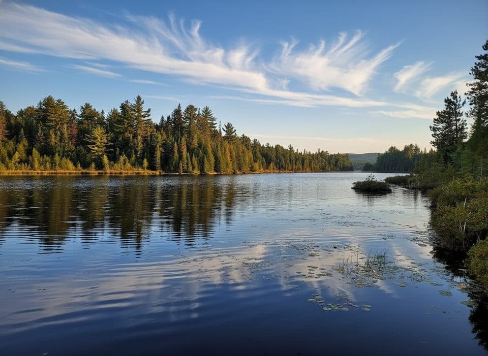
Brent in Algonquin Provincial Park

Campground · Algonquin Provincial Park

Brent

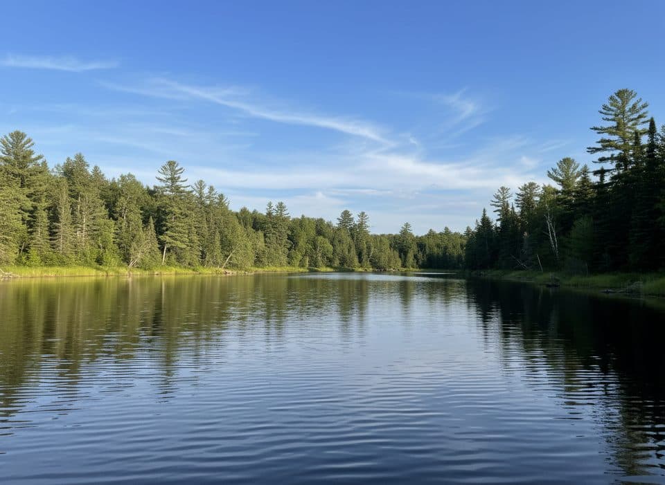
Remote Cedar Lake basecamp for canoes, cabins, and dark skies

Type
Campground
Nearest trail
4 km
Audio stories
5 nearby
  • Restrooms
  • Parking
  • Store
  • Lodging

Hear the audio tour

Brent Area: Historic Townsite and Cedar Lake Access

Overview

About Brent

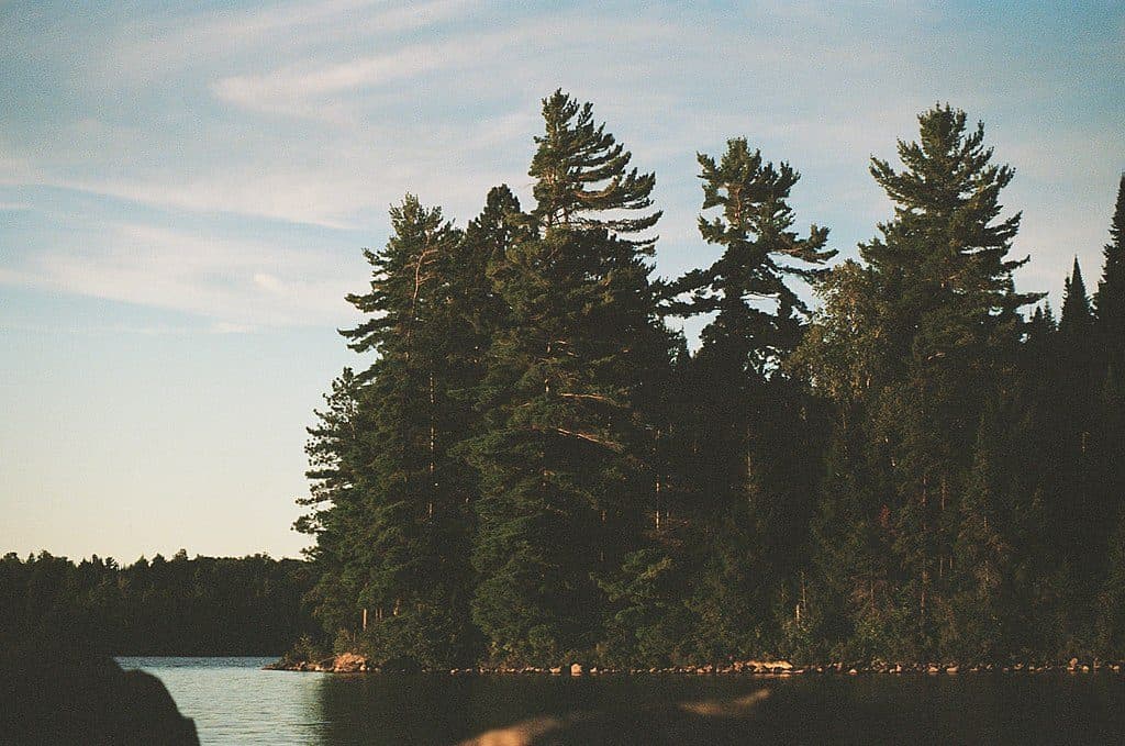
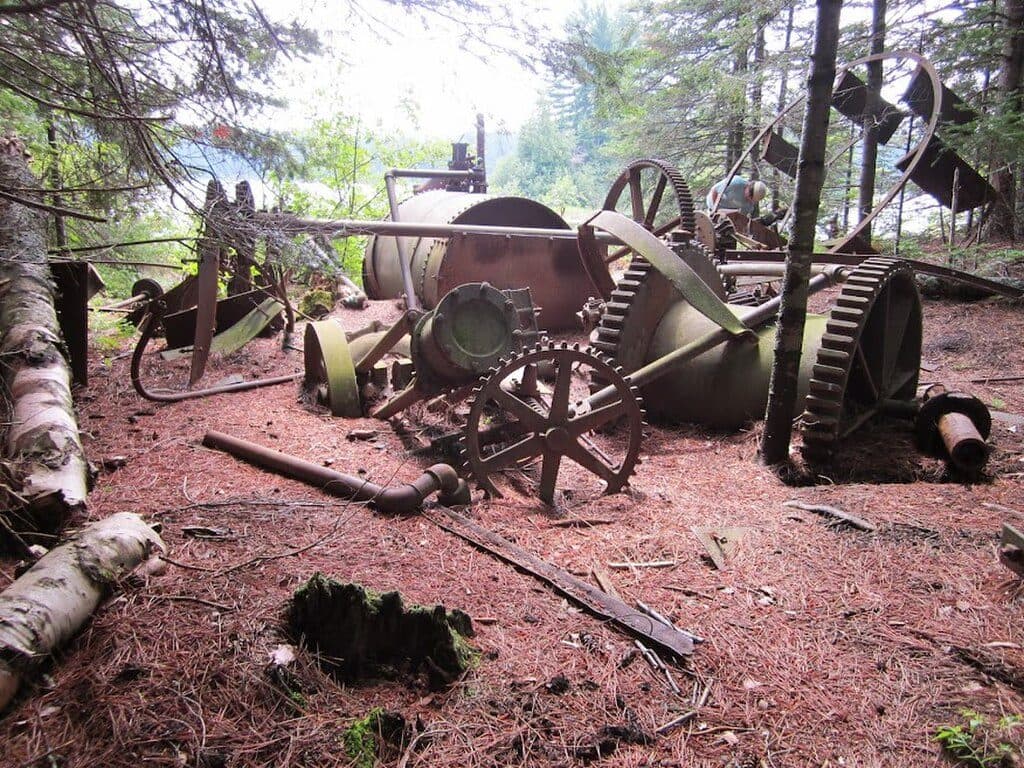
Brent Campground is Algonquin’s quiet outpost on Cedar Lake: small (30 sites), simple, and blissfully remote. If you’re here, you want starry nights, canoe-first mornings, and a dose of history at the old Brent townsite. It’s less developed than the park’s busier drive-in campgrounds, which is exactly its charm.

Why stop

  • Remote, low-key vibe with only 30 sites
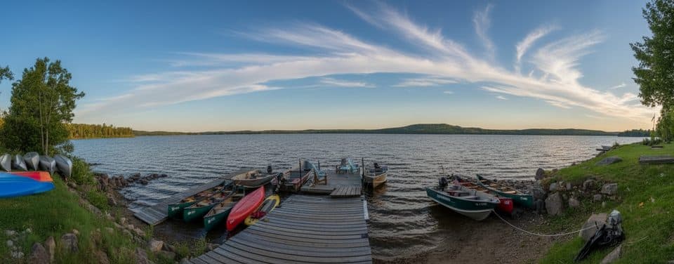
  • Easy launch to Cedar Lake backcountry with on-site canoe rentals
  • Historic townsite and Brent Crater trail/lookout nearby

Heads up

  • 40 km rough gravel access road from Highway 17
  • No showers, no electrical hookups, and no cell service
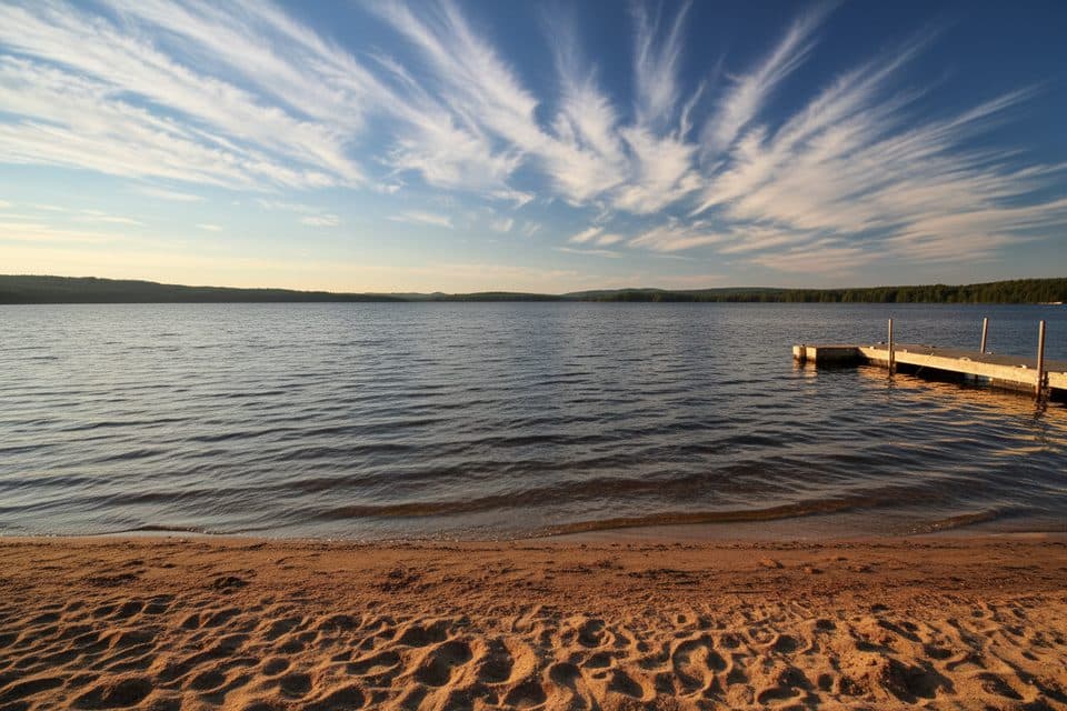
  • Not a great swimming beach

Map

Where it is

Loading the Algonquin map
Full map
CampgroundBrent46.03333, -78.48333
Keep this map with you offline in the Parkwolf app

Local know-how

Tips for visiting Brent

  1. Download offline maps and the Brent Crater Trail brochure before you arrive.

  2. Drive Brent Road slowly—allow about an hour from Highway 17.

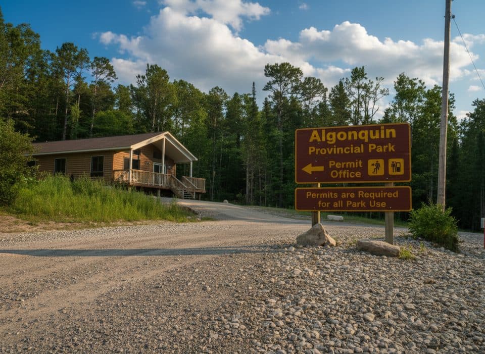
  3. Show up early to handle check-in and firewood; hours can be short.

  4. If you want privacy, look toward the east-end sites when booking.

  5. Plan for no cell service and no showers—pack accordingly.

Plan your stop

Before you go

Best time to go

For 2025, Brent operates April 25–October 26. Campsites are around $42.38 per night, including one vehicle; additional vehicles are about $14.13 per night. One vehicle is included with cabins as well. It’s quieter than most drive-in areas—great for solitude if you pick your site carefully.

Getting There

From Highway 17, you’ll turn onto Brent Road and bump along 40 km of gravel—potholes, loose gravel, occasional logging traffic, and the odd beaver-made washout after heavy rain. Plan on driving slowly; it’s roughly an hour back to the highway. Arrive early to sort out firewood or questions at the park office (hours can be limited, especially outside peak summer).

4 active Algonquin alerts

  • CautionLow Water on Backcountry Canoe RoutesLow-water alerts are in effect on six backcountry canoe-route sections.Official details
  • ClosureProvoking Falls Bridge ClosedThe Provoking Falls bridge on the Highland Backpacking Trail is closed due to safety concerns and has been removed. - Follow the posted reroute, which adds 2.5 km.Official details
See all 4 alerts
A park ranger sits on a dash-mounted phone, talking, as Parkwolf’s Tour Guide plays “Army Cutworm Moths: A Grizzly Bear Buffet” on Grand Loop Road below Dunraven Pass in Yellowstone
Parkwolf Tour GuideThe highest, rockiest slopes around here are a summer buffet for grizzly bears.

Algonquin Tour Guide

Your drive to Brent, narrated.

Parkwolf is a GPS audio tour guide for Algonquin Provincial Park. As you drive, it chimes in with what’s ahead: hidden gems, upcoming stops, history, geology, and wildlife, right through your car’s speakers.

Recorded for this place

Brent Area: Historic Townsite and Cedar Lake Access
Listen
“You're heading toward the Brent area, a quiet outpost on Cedar Lake. This spot was once a bustling logging town, and you can find an outdoor exhibit about its history right at the campground.”

Plays as you drive up to Brent in the Parkwolf Algonquin Tour Guide.

More stories near here in the app

  • Brent Access Point: Gateway to Algonquin's North
  • Brent Campground: Remote Outpost with Dark Skies
  • Brent Crater: Algonquin's Ancient Impact
  • Jack Pine Barrens: Life Built on Fire
  • 139 audio storiesacross Algonquin’s roads, triggered by GPS as you drive
  • Wildlife heatmapsfor Moose, Eastern Wolf, Black Bear, and 13 more
  • Works offlinemaps, 26 trails, 95 places, and audio download before you lose signal
  • CarPlay readysimple controls built for the drive
★★★★★
“Fantastic app with many points of information… It’s great to just turn on while you’re driving and it gives you an audio tour of the national Park. We love it!!!!”
JMJamesApp Store review
Download Parkwolf on the App StoreGet Parkwolf on Google Play

4.7 from 8,600+ ratings

Guide

More about Brent

Campground Layout & Site FeelTwo main clusters sit on either side of the historic townsite.

Two main clusters sit on either side of the historic townsite. Expect a mix of waterfront and inland spots: some open and social, others tucked into the trees. The far east-end sites tend to feel more secluded, with a couple of true hideaways if privacy is your priority. There are also two reservable ranger cabins on the east side if you prefer four walls over a tent.

Facilities & ServicesThis is a bare-bones setup by design: vault/composting toilets (no flush, no comfort station),…

This is a bare-bones setup by design: vault/composting toilets (no flush, no comfort station), drinking-water taps, and no electrical hookups. There’s no cell service. You’ll find a boat launch for Cedar Lake, and motorboats are permitted with restrictions. A small seasonal outpost offers limited resupply, and canoe rentals are available on-site—handy if you’re pushing into the backcountry.

What To DoPaddle: Brent is a superb launch point for multi-day canoe routes across Cedar Lake and beyond.
  • Paddle: Brent is a superb launch point for multi-day canoe routes across Cedar Lake and beyond.
  • Explore history: Wander the Brent Historic Site exhibit to understand the former community here.
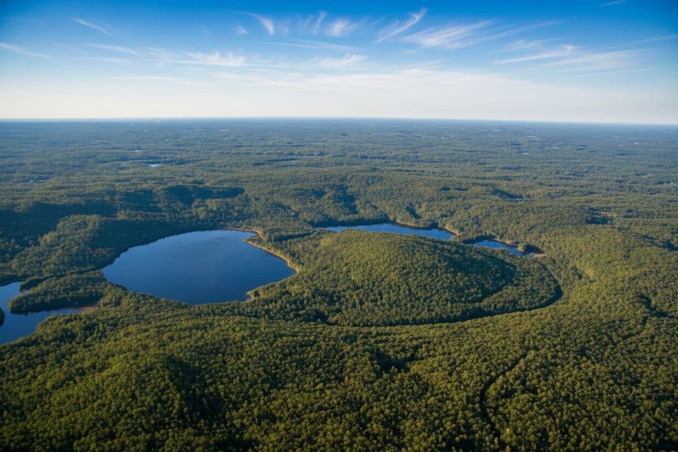
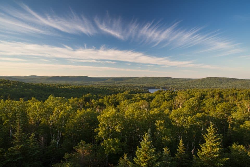
  • Hike nearby: The Brent Crater Lookout along the access road frames a meteorite impact landscape; the Brent Crater Trail loop can be confusing where it meets a diagonal portage—bring the brochure/map.
Beach Reality CheckThere is lakeshore access, but it’s not a classic sandy swimming beach.

There is lakeshore access, but it’s not a classic sandy swimming beach. Think boat-friendly shoreline rather than lounging.

Best Time to VisitAim for shoulder seasons (spring and fall) or midweek in summer for maximum calm.

Aim for shoulder seasons (spring and fall) or midweek in summer for maximum calm. Arrive earlier in the day to handle check-in, wood, and any last-minute needs before the office closes. Clear nights deliver excellent stargazing thanks to the lack of light and cell towers.

Tips for TrailsPick up the Brent Crater Trail brochure at the office if you can—trailhead boxes can be empty…

Pick up the Brent Crater Trail brochure at the office if you can—trailhead boxes can be empty and junctions occasionally under-signed. The loop finishes with a short roadside walk back to the start.

Wildlife & EtiquetteStandard Algonquin rules apply: store food properly and give animals space.

Standard Algonquin rules apply: store food properly and give animals space. With fewer people around, your food discipline matters even more.

Wildlife

Wildlife in Algonquin

All Algonquin wildlife maps

Sighting maps show where each species has been reported across Algonquin. Wildlife moves, so no sighting is guaranteed.

Parkwolf’s Algonquin ranking

Top sights in Algonquin

All 95 places
  1. 1Lake OpeongoSight
  2. 2Algonquin Logging MuseumSight
  3. 3Barron Canyon LookoutSight
  4. 4Booth's Rock LookoutSight
  5. 5Lookout Trail LookoutSight
  6. 6Track and Tower Trail LookoutSight

Take Parkwolf to Algonquin.

The audio tour guide for the drive, plus offline maps, trails, and wildlife heatmaps for when the signal drops.

4.7 from 8,600+ ratings

Download Parkwolf on the App StoreGet Parkwolf on Google Play