
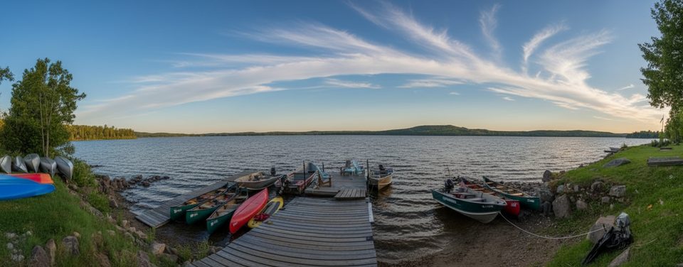
Place · 2.5 mi away
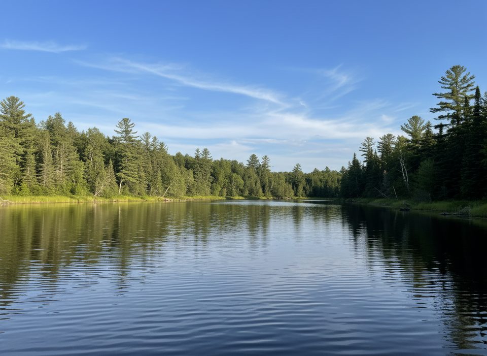
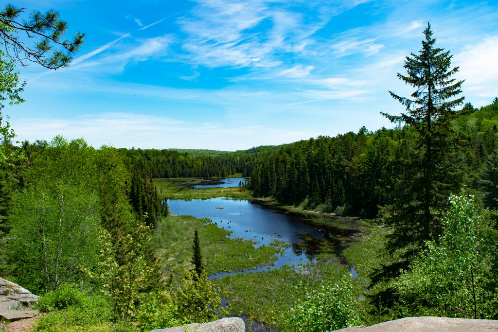
The Nipissing River is classic Algonquin backcountry—wild, winding, and wonderfully empty. Expect a true expedition vibe: meandering channels, beaver meadows, occasional whitewater, and a web of portages that keep casual crowds away. It’s challenging but deeply rewarding for paddlers who like their trips a little gritty and a lot scenic.
This corridor is famous for wildlife. Moose are regulars (cows with calves in season), plus beaver, otter, and muskrat. Birdlife runs from herons and loons to a chorus of songbirds at dawn. Anglers target brook trout in the river and creeks, with lake trout nearby on connected lakes; spring also brings spawning suckers. Signs of bigger mammals—like wolf scat—turn up on portage trails. Whitewater features such as Allen Rapids and High Falls add drama between serene, pine-fringed reaches and clear, turquoise-toned lakes.
Plan for real work. Creek travel can mean tight, twisting bends through dense alders. Portages include some lengthy carries—reports mention back-to-back hauls around 2700 m and 2000 m—and mud is part of the deal in places. An Upper Nipissing loop is roughly 51 km with 14 portages totaling about 5.8 km; most paddlers take 4–5 days (fast teams can squeeze it into 3). It’s remote, so self-reliance matters.
Conditions swing with water levels. In good water, travel is smoother; in low water, expect scraping, wading, and occasional bushwhacks around logjams. Paddling upstream against strong current can be a grind—factor direction and flow into your plan.
This is interior backcountry: no developed facilities on the river itself. Campsites typically have simple open-air box latrines (“thunderboxes”) and not much else. Use frontcountry facilities before launching. Seasonal notes from recent info: Kiosk access (with campground comfort station) is scheduled April 25–October 26, 2025; the Tim River access day-use area is listed April 25–December 14, 2025. Highway 60 corridor hubs (Visitor Centre, Logging Museum, gates, day-use areas) offer flush washrooms, but they’re not on the Nipissing. For current water levels and route conditions, wardens at the Kearney office are a reliable resource.
Have a contingency plan—conditions change fast out here. Expect blowdowns early season and occasional rough landings near falls. Maintenance is generally good, but you may need patience and creativity around deadfall. Bring bug protection in May–June, footwear you don’t mind wading in, and the fitness for long carries. If you’re debating direction, remember that running upstream into strong current on the Nipissing is no joke.
Place · 2.5 mi away
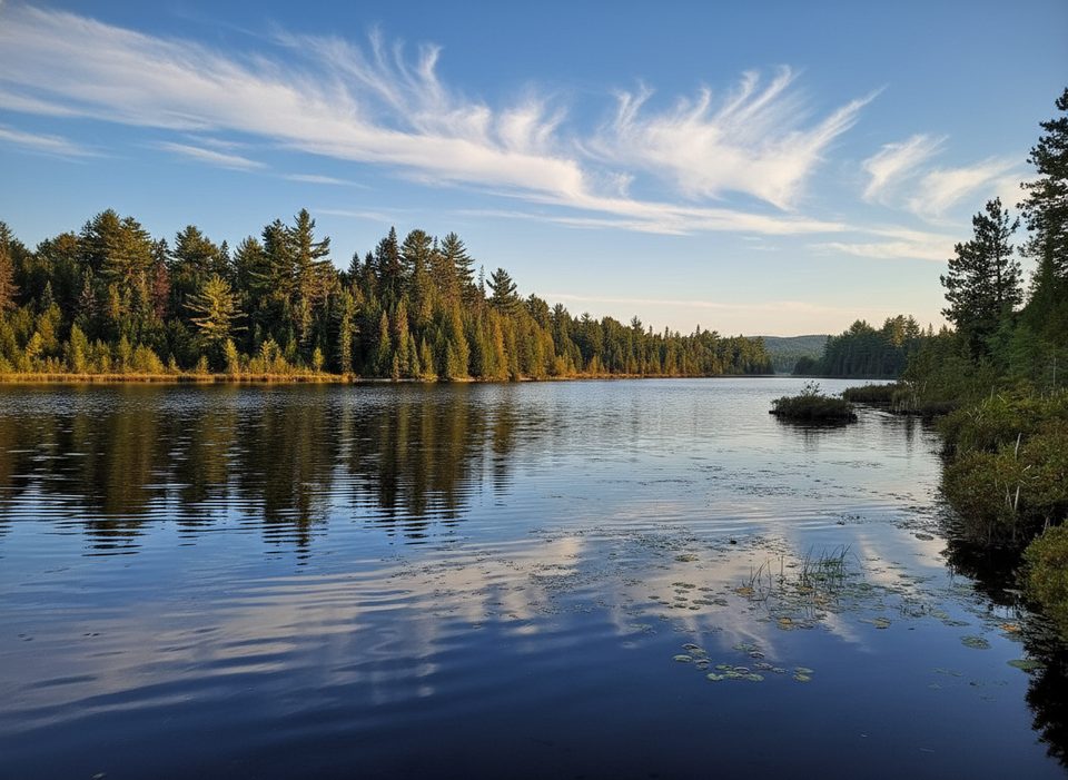
Place · 2.6 mi away
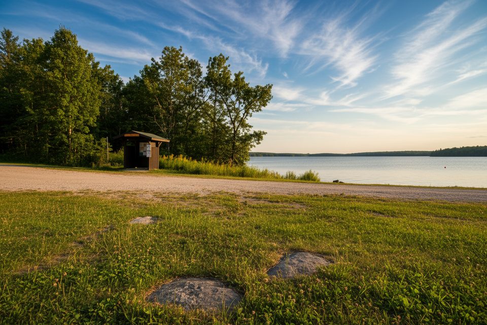
Place · 2.8 mi away
Place · 3.3 mi away
Moderate · 29.5 mi away
Moderate · 29.7 mi away
Easy · 29.8 mi away
Moderate · 29.9 mi away

Parkwolf Tour Guide
