Best time to visit
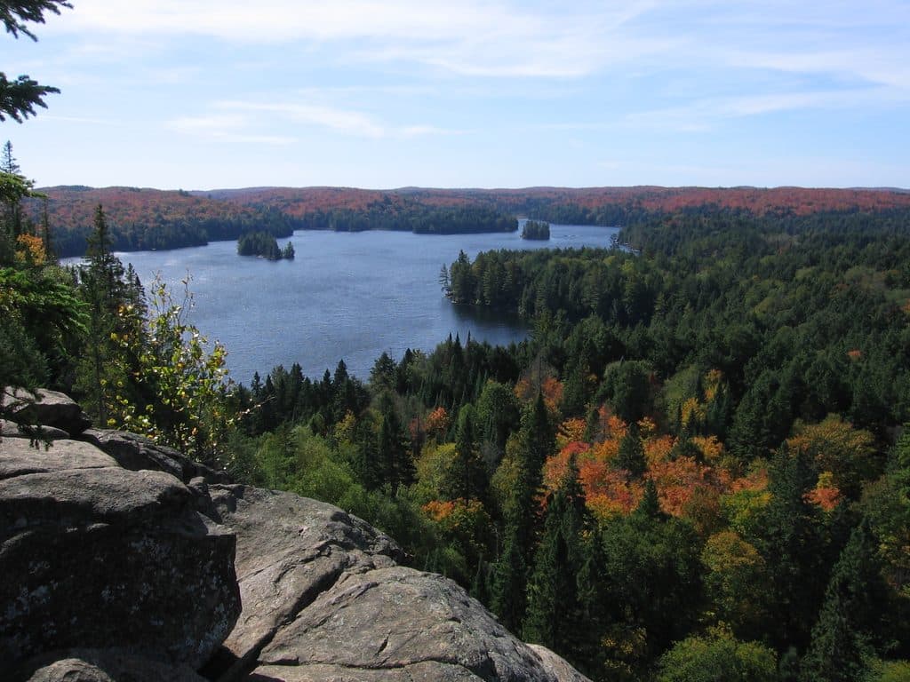
Shoulder seasons tend to be more comfortable, with fewer bugs. Mosquitoes peak around mid‑June, so plan accordingly. Any clear daylight window works well for an unrushed picnic and wildlife scanning.
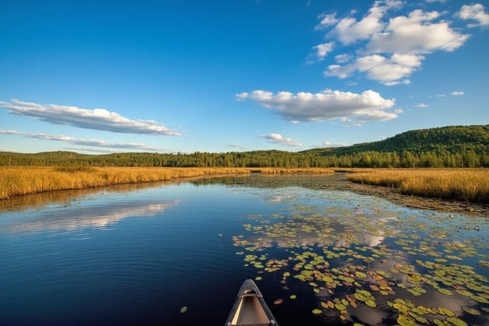
Picnic area · Algonquin Provincial Park
Low-key picnic stop by Costello Creek, not a boardwalk
Overview
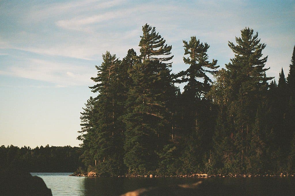
Despite the name some visitors use, there isn’t a formal “Costello Creek Boardwalk.” The signed site here is the Costello Creek Picnic Ground, about 1 km up Opeongo Road from km 46.3 on Highway 60. It’s a low‑key place to spread out lunch and stage a mellow day along Costello Creek and the Lake Opeongo corridor.
Map
Local know-how
It’s 1 km up Opeongo Road from the Highway 60 km 46.3 junction.
Reserve your day-use vehicle permit up to five days in advance.
Bring bug spray—mosquitoes peak in mid‑June; shoulder seasons are easier.
For an actual boardwalk, pair this stop with Spruce Bog Boardwalk on Hwy 60.
Don’t plan on fires; there are no firepits and grills aren’t guaranteed.
Plan your stop

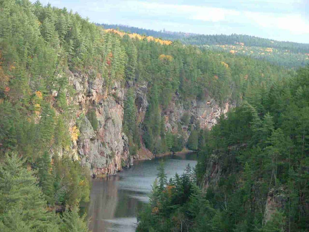
The highest, rockiest slopes around here are a summer buffet for grizzly bears.
Algonquin Tour Guide
Parkwolf is a GPS audio tour guide for Algonquin Provincial Park. As you drive, it chimes in with what’s ahead: hidden gems, upcoming stops, history, geology, and wildlife, right through your car’s speakers.
Recorded for this place
Costello Creek Picnic Ground“The picnic area you're approaching is for Costello Creek. Despite what you might hear, there isn’t an actual boardwalk here—it's a quiet stop with picnic tables right by the water.”
Plays as you drive up to Costello Creek Boardwalk in the Parkwolf Algonquin Tour Guide.
More stories near here in the app
“Fantastic app with many points of information… It’s great to just turn on while you’re driving and it gives you an audio tour of the national Park. We love it!!!!”


Guide
Expect a creek-and-wetland setting where you can watch for wetland birds, dragonflies, and the classic Algonquin bog vibe nearby. The broader Costello Creek/Opeongo area is known as a calm paddle route with the chance—never guaranteed—to spot wildlife like moose or beaver.
You’re a short drive from the Algonquin Visitor Centre, the Logging Museum, Beaver Pond Trail, and the Lake Opeongo access—easy add‑ons before or after lunch. If you’re after a true boardwalk experience, head to Spruce Bog Boardwalk on Highway 60.
Wildlife
 1,231 sightingsMooseMost seen around 6 AMSighting map
 245 sightingsEastern WolfMost seen around 7 PMSighting map
 331 sightingsBlack BearMost seen around 7 PMSighting map
 604 sightingsLoonMost seen around 6 PMSighting map
 110 sightingsBald EagleMost seen around 11 AMSighting map
 192 sightingsRiver OtterMost seen around 6 PMSighting map
Sighting maps show where each species has been reported across Algonquin. Wildlife moves, so no sighting is guaranteed.
Keep exploring
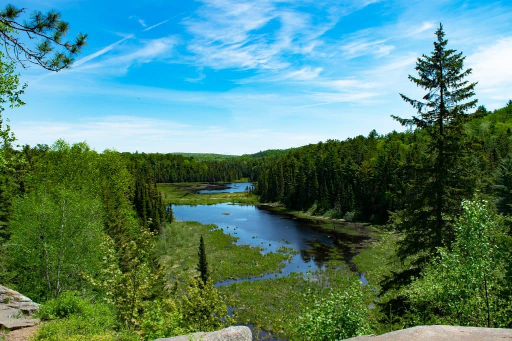 ModerateBeaver Pond Trail1.9 km · 48 min · 4.2 km awayShort loop through classic beaver ponds with big dam views.
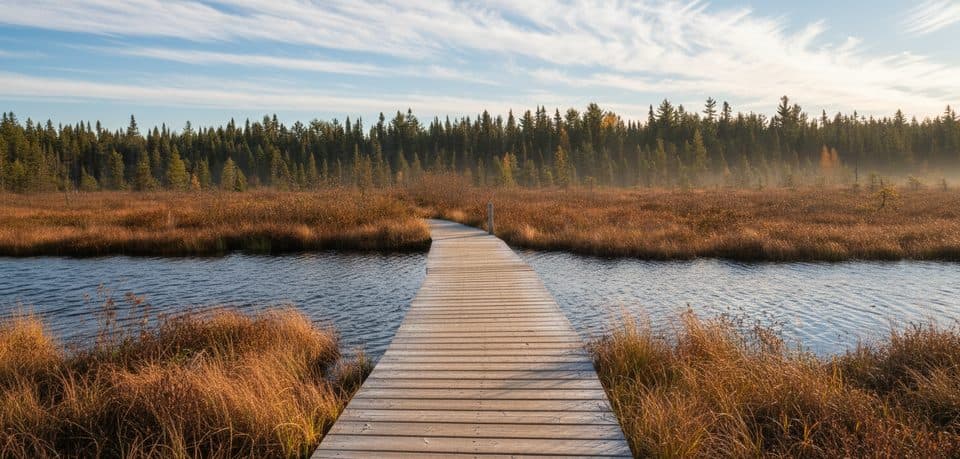 EasySpruce Bog Boardwalk1.4 km · 1 hr · 5 km awayEasy 1.5 km loop through two northern black spruce bogs.
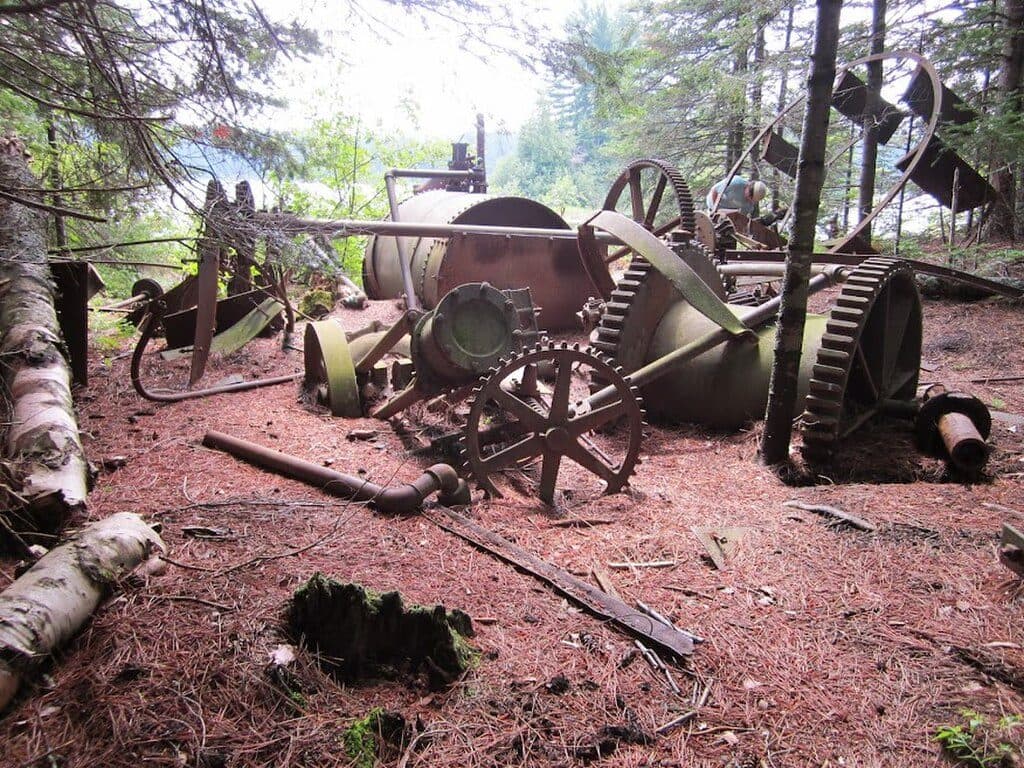
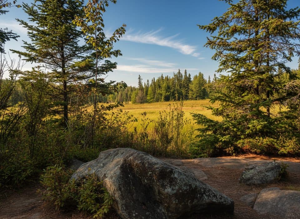 EasyBig Pines Trail2.9 km · 2 hr · 6.7 km awayOld-growth white pines and 1880s logging-camp remains on a moderate 2.9 km loop.
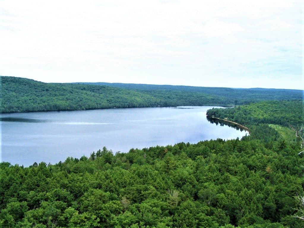
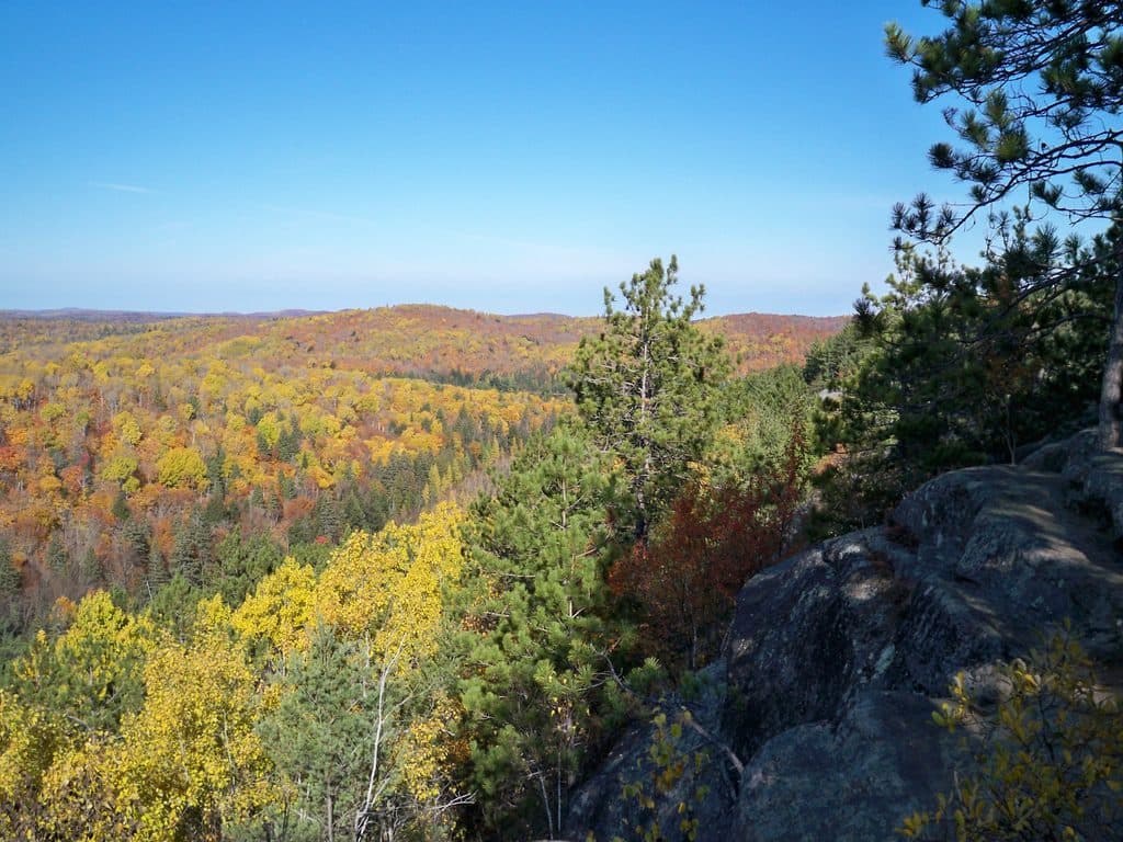 ModerateLookout Trail2.1 km · 1 hr · 7.1 km awayShort, steep loop to a sweeping forest and lakes panorama.
 Store · 1.2 km awayOpeongo StoreBackcountry gateway with rentals and a time-saving Lake Opeongo water taxi
 Visitor center · 1.2 km awayLake Opeongo Access PointGateway to the backcountry with rentals and a wind-savvy water taxi
 Visitor center · 5.1 km awayAlgonquin Park Visitor CentrePanoramic deck, superb exhibits, and a handy bookstore
 Store · 5.1 km awayFriends of Algonquin Park BookstoreFriends-run bookstore for maps and guides that fund the park
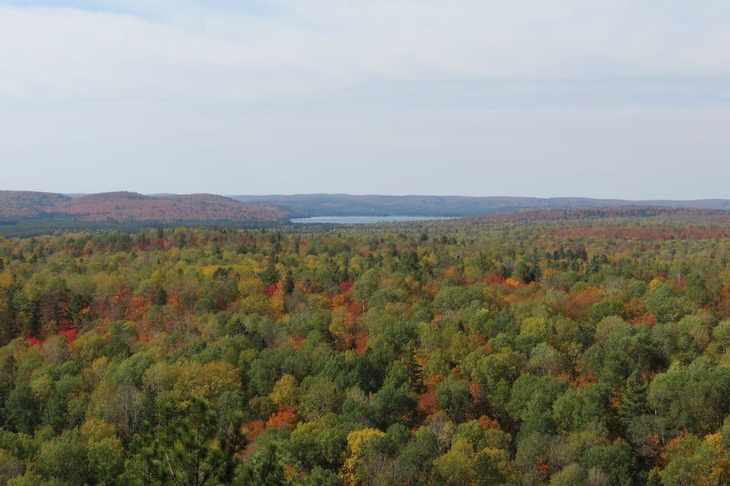 Sight · 7 km awayLookout Trail LookoutShort, steep climb to a classic cliff-top panorama
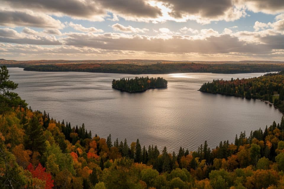 Sight · 7.9 km awaySouth LookoutSmall lookout at the end of an unofficial forest spur
Parkwolf’s Algonquin ranking

The audio tour guide for the drive, plus offline maps, trails, and wildlife heatmaps for when the signal drops.