Parking
Use the Lookout Trail lot on Highway 60 at km 39.7; the trail begins behind the lot. Parking is limited and can fill on fall weekends, so arrive early. Do not stop on the highway shoulder. A day-use permit is required.
#5 of 39 trails in Algonquin
Algonquin Provincial Park, ON
A short climb opens onto a panoramic rocky ridge.
Overview
Map & elevation
Plan your hike

The highest, rockiest slopes around here are a summer buffet for grizzly bears.
Algonquin Tour Guide
Parkwolf is a GPS audio tour guide for Algonquin Provincial Park. As you drive, it chimes in with what’s ahead: hidden gems, upcoming stops, history, geology, and wildlife, right through your car’s speakers.
See the Algonquin audio tourRecorded for this trailhead
Lookout Trail's Ridge View“Up ahead is the Lookout Trail, a good choice for a broad forest panorama without giving over half the day. Allow about an hour for the roughly two-kilometre loop, with a steep climb over roots and uneven rock.”
Plays as you drive up to this trailhead in the Parkwolf Algonquin Tour Guide.
More stories near here in the app
“Fantastic app with many points of information… It’s great to just turn on while you’re driving and it gives you an audio tour of the national Park. We love it!!!!”


Trail guide
Lookout Trail is a steep 2.1 km loop from Highway 60 km 39.7 to a rocky ridge with two forest-and-lake openings. Allow about an hour. The route starts and ends at the parking area, climbing to the lookout, continuing along the ridge, then descending the shared access path. The full mapped walk is about 2.1 km because it counts that access leg out and back; some published descriptions give 1.9 km. Pick it for a compact climb to a broad view, not for a long wilderness day.
The trail starts behind the parking lot and rises through forest, with short dips and another climb before the first lookout. A fork appears roughly 300 m in. Accounts describe its direction differently, so follow the Lookout Trail markers instead of relying on left-or-right directions from an old route description. The tread is generally clear; a few boardwalks cross damp patches. Near the ridge, roots and bare rock make the footing rougher. After the second view, the trail descends to the same access leg and returns to the lot.
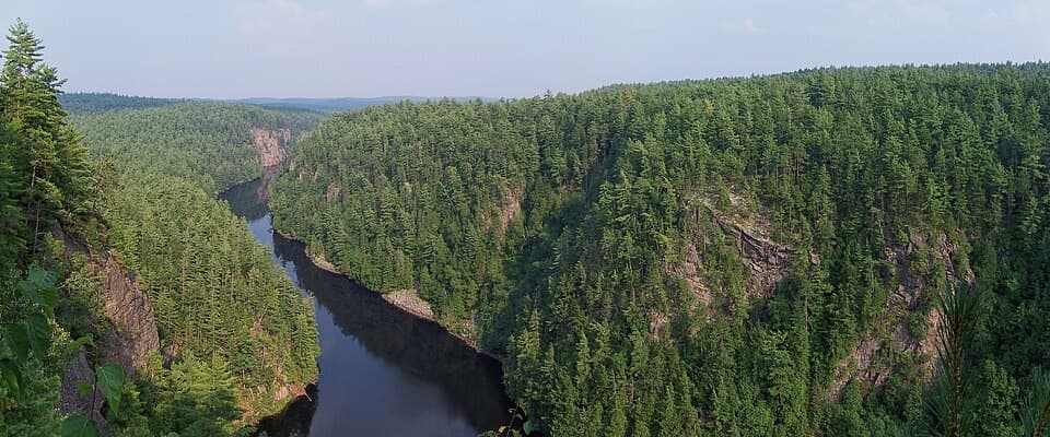
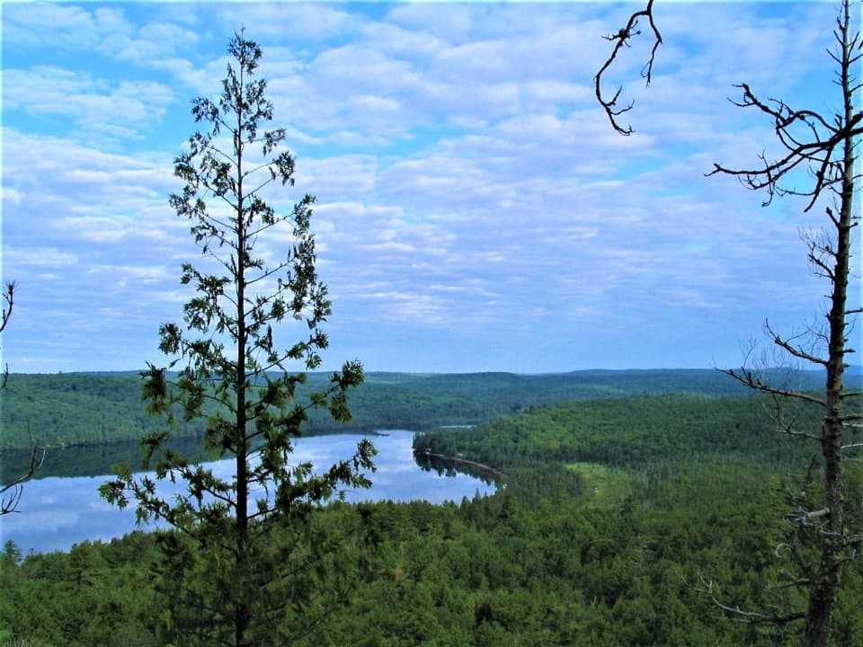
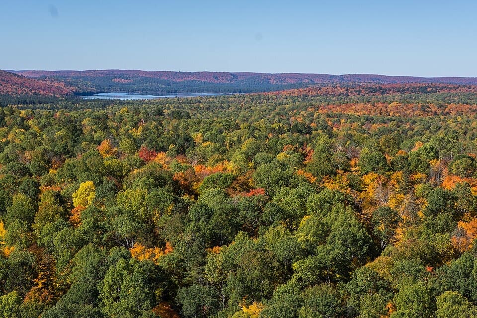
The first lookout opens onto bare rock with benches and a wide sweep across the forest canopy. Lake of Two Rivers sits in the distance, and one angle gives a glimpse of Little Rock Lake through the trees. The route carries on along the ridge to another opening about 300 m farther on before turning back toward the woods. That second view is part of the loop, not a separate spur. For a photo, keep some of the exposed rock in the foreground so the distant lake and the depth of the forest read in the same frame.
The interpretive trail guide uses Algonquin geology as its theme. Along the walk, look for the larger rock formations and rounded glacial erratics among the roots and forest floor; the ridge is more than a place to stop for the panorama.
The trail is rated moderate and is relatively steep and rugged. The distance is short, but expect uneven rock and roots, especially near the lookout, and take care on slick stone after rain. The exposed cliff edge is unguarded; stay well back and keep children close. Fall colour is a draw, and the limited lot can fill on autumn weekends, so arrive early. Use the Lookout Trail lot rather than stopping on the Highway 60 shoulder. A day-use permit is required. Leashed dogs are allowed on this route; the park's leash limit is 2 m. The trail listing identifies parking but does not identify toilets, water, or food service, so bring what you need and plan any meal elsewhere.
Wildlife
 1,237 sightingsMooseMost seen around 6 AMSighting map
 245 sightingsEastern WolfMost seen around 7 PMSighting map
 331 sightingsBlack BearMost seen around 7 PMSighting map
 604 sightingsLoonMost seen around 6 PMSighting map
 110 sightingsBald EagleMost seen around 11 AMSighting map
 192 sightingsRiver OtterMost seen around 6 PMSighting map
Sighting maps show where each species has been reported across Algonquin. Wildlife moves, so no sighting is guaranteed.
Keep exploring
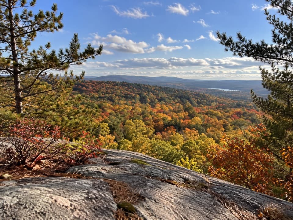 ModerateSouth Lookout Trail2.6 km · 1 hr · At the trailheadAn informal path reaches a rocky perch above distant lakes.
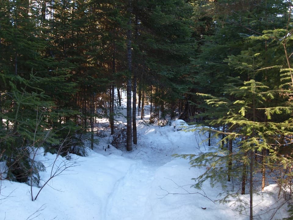 ModerateBig Pines Trail2.9 km · 1.5 hr · 0.6 km awayMeet giant white pines on a mellow loop with a logging past.
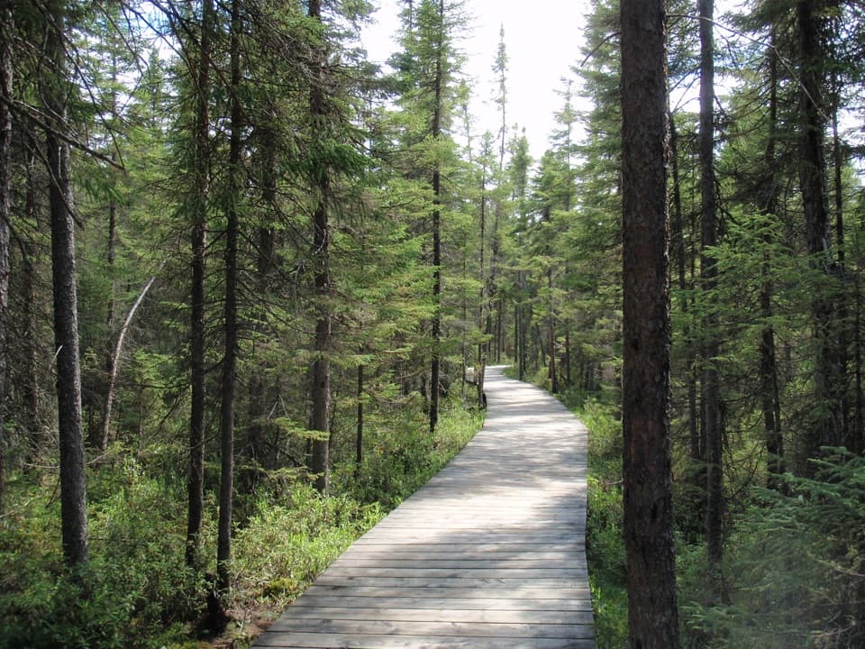 EasySpruce Bog Boardwalk Trail1.5 km · 1 hr · 2.7 km awayTwo northern spruce bogs, reached on a short boardwalk loop.
 ChallengingCentennial Ridges Trail10.4 km · 4.5 hr · 2.7 km awayA very demanding 10.4 km loop over two rocky ridges.
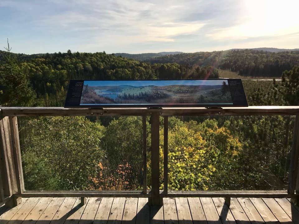 EasyFire Tower Trail0.2 km · 15 min · 3.7 km awayAn easy, accessible boardwalk ends above the Sunday Creek valley.
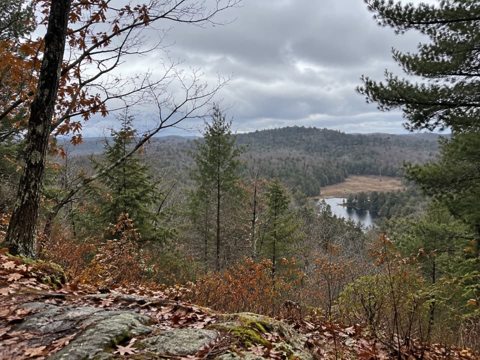 ChallengingFork Lake Trail2.4 km · 1.5 hr · 3.8 km awaySteep climbs, lake views, and a boardwalk in a compact loop.
 ModerateBeaver Pond Trail2 km · 1 hr · 5.3 km awayBeaver ponds, a boardwalk, and a high lookout in one short loop.
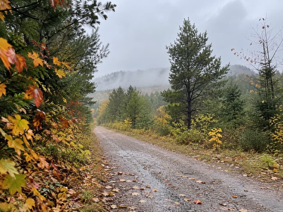 ModerateOld Railway Bike Trail16 km · 4.5 hr · 5.9 km awayFlat rail-bed riding past lakes, rapids, and old railway bridges.
 Sight · 0.8 km awayLookoutA steep, short climb pays off with one of Algonquin's biggest panoramas.
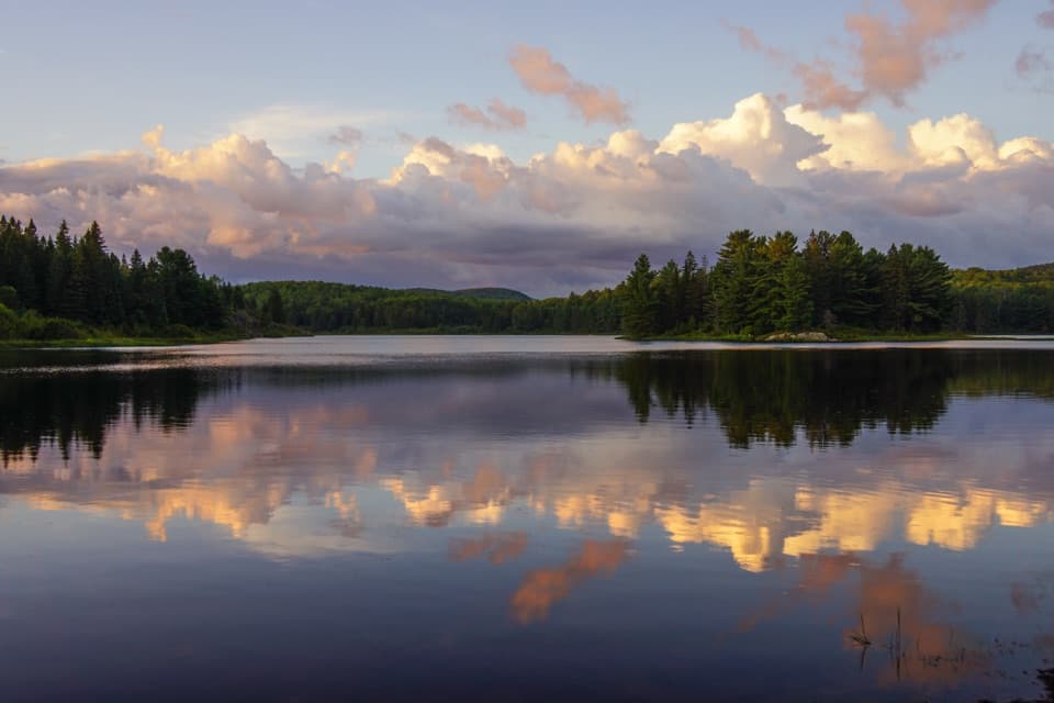 Campground · 2.8 km awayKearney Lake CampgroundCamp beside a sandy beach and paddle Kearney Lake.
 Campground · 2.8 km awayPog Lake CampgroundA 286-site lakeside campground with a dog-free, radio-free loop.
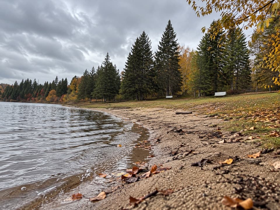 Campground · 3.3 km awayWhitefish Lake Group CampgroundGroup camping for up to 40 per site beside the lake.
 Visitor center · 3.7 km awayAlgonquin Park Visitor CentreStart here for park history, trail advice and a broad deck view.
 Beach · 4.2 km awayEast Beach Picnic Ground and BeachA quick swim and picnic with a narrow sandy shore.
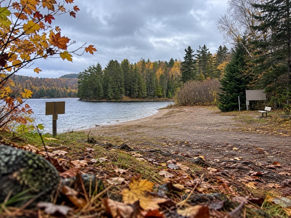 Campground · 4.5 km awayRaccoon Lake CampgroundA quiet lakeside campground with a beach and vault privies.
 Picnic area · 5.6 km awayLake of Two Rivers Picnic Ground and BeachA beachside lunch stop with a view across the lake.
Parkwolf’s Algonquin ranking

The audio tour guide for the drive, plus offline maps, trails, and wildlife heatmaps for when the signal drops.