Overview
About Tapataia Mahaka /
Why stop
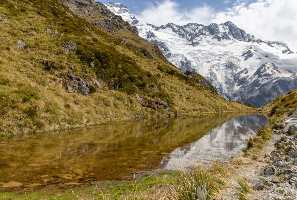
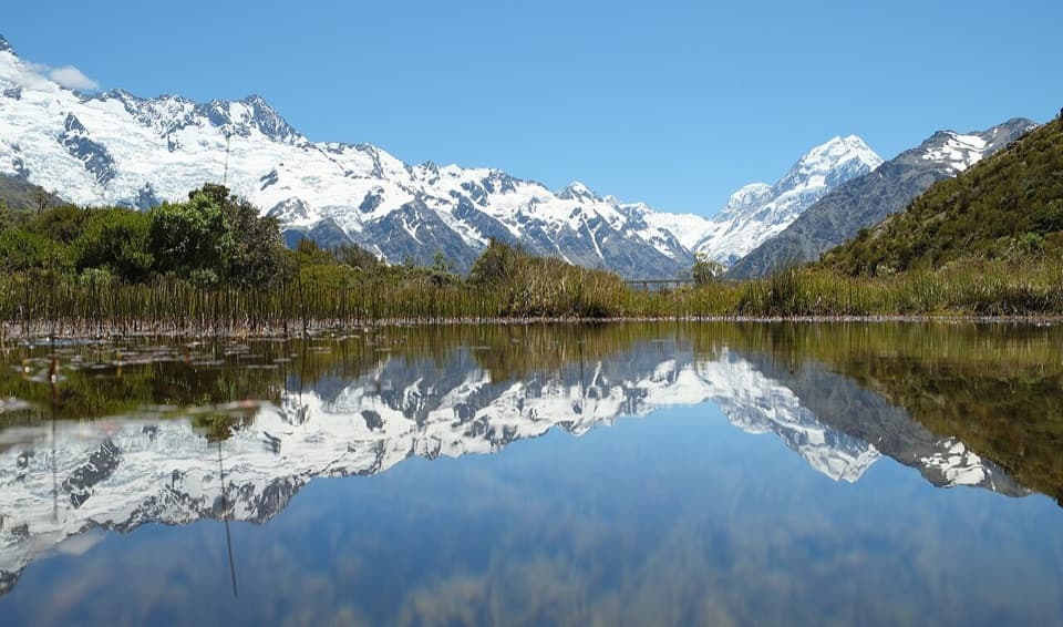
- A short walkway gives you a closer view of the lake.
Heads up
- Cloud can hide Aoraki from the headline view.
Map
Where it is

The highest, rockiest slopes around here are a summer buffet for grizzly bears.
Aoraki / Mount Cook Tour Guide
Your drive to Tapataia Mahaka /
Parkwolf is a GPS audio tour guide for Aoraki / Mount Cook National Park. As you drive, it chimes in with what’s ahead: hidden gems, upcoming stops, history, geology, and wildlife, right through your car’s speakers.
- 24 audio storiesacross Aoraki / Mount Cook’s roads, triggered by GPS as you drive
- Wildlife heatmapsfor Kea, Rockwren, New Zealand Falcon, and 13 more
- Works offlinemaps, 15 trails, 30 places, and audio download before you lose signal
- CarPlay readysimple controls built for the drive
“Fantastic app with many points of information… It’s great to just turn on while you’re driving and it gives you an audio tour of the national Park. We love it!!!!”


Guide
More about Tapataia Mahaka /
The stopTapataia Mahaka / Peters Lookout is a developed roadside viewpoint on the western shore of Lake…
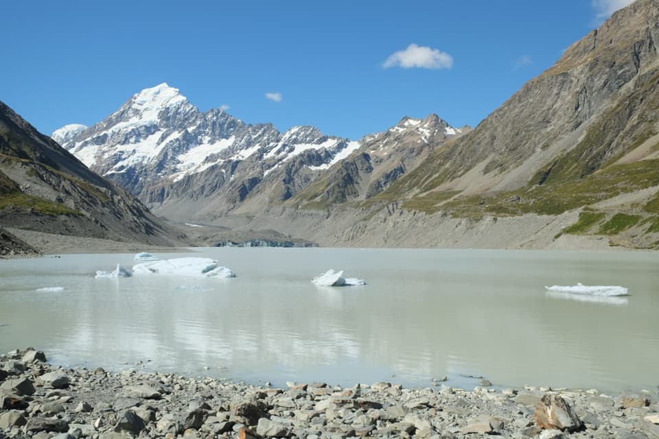
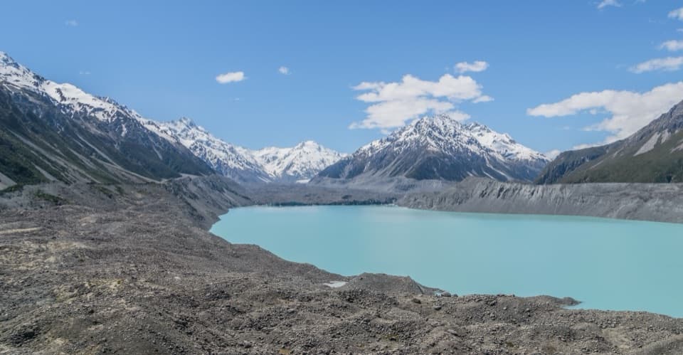
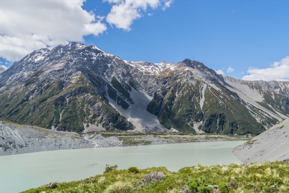
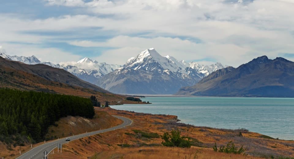
Tapataia Mahaka / Peters Lookout is a developed roadside viewpoint on the western shore of Lake Pūkaki, beside SH80 / Mount Cook Road on the drive toward Aoraki / Mount Cook. The main draw is the road bending beside turquoise water with Aoraki at the far end. Keep it on a clear day for the full view; if cloud covers the mountain, the road and lake still make a good pause.
Frame the viewFrom the lookout, SH80 curves along the foreshore and leads the eye toward Aoraki.
From the lookout, SH80 curves along the foreshore and leads the eye toward Aoraki. The lake-side walkway gives you a lower angle with water close in the foreground. Use the designated viewing area for the road-and-mountain composition; the road itself is part of the scene, not a place to stand for a photo.
A practical pauseThe site has formal parking, public toilets and a short path down toward the lake.
The site has formal parking, public toilets and a short path down toward the lake. Visitors also report picnic tables. The parking is a useful break on the approach drive, though the stop can draw plenty of people at times.
A name tied to the shorelineTapataia Mahaka was gifted as a name for the lookout in recognition of a historic mahinga kai…
Tapataia Mahaka was gifted as a name for the lookout in recognition of a historic mahinga kai settlement at the lake edge. Mahinga kai refers to food gathering; the name points to the shoreline's older role beyond today's scenic stop.
The site was upgraded after wilding pines were removed. Iwi and public agencies worked together on formal parking, toilets, planting, a walkway to the shore and interpretive signs. Consent was granted in 2018, and most of the work was in place by the end of 2020.
A lake held by iceLake Pūkaki fills the lower end of a glaciated valley.
Lake Pūkaki fills the lower end of a glaciated valley. A terminal moraine, a ridge of debris left by retreating ice, holds the lake in place; the moraine dates to roughly 16,000–18,000 years ago.
Wildlife
Wildlife in Aoraki /
 139 sightingsKeaMost seen around 9 AMSighting map
 73 sightingsRockwrenMost seen around 10 AMSighting map
 46 sightingsNew Zealand FalconMost seen around 10 AMSighting map
 15 sightingsKererūMost seen around 9 AMSighting map
 16 sightingsBellbirdMost seen around 7 AMSighting map
 33 sightingsBlack-fronted TernMost seen around 5 PMSighting map
Sighting maps show where each species has been reported across Aoraki / Mount Cook. Wildlife moves, so no sighting is guaranteed.