Kea Point in Aoraki / Mount Cook National Park

#3 of 13 sights in Aoraki / Mount Cook

Sight · Aoraki / Mount Cook National Park

Kea Point

A short alpine walk to the Mueller Glacier lake lookout.

Photo: Wikimedia Commons
Type
Sight
Nearest trail
1.1 km
Audio stories
7 nearby
  • Trailhead
  • Parking
  • Restrooms
  • Scenic viewpoint

Hear the audio tour

White Horse Hill and Kea Point

Overview

About Kea Point

Why stop

  • A close view of the moraine lake beneath the Southern Alps.

Heads up

  • Cloud can hide Aoraki’s summit, and the White Horse Hill lot can fill.

Map

Where it is

Loading the Aoraki / Mount Cook map
Full map
SightKea Point-43.71055, 170.08428
Keep this map with you offline in the Parkwolf app

Plan your stop

Before you go

2 active Aoraki / Mount Cook alerts

  • CautionBall Hut Track: impassable gorge at Husky FlatThe Ball Hut Track is severely affected at Husky Flat; beyond the gorge there is no marked route. - A severe weather event significantly damaged the track and created a large, impassable gorge.Official details
  • CautionHooker Valley Track: 20-person bridge limitNo more than 20 people may be on the first Hooker Valley Track suspension bridge at one time. DOC is enforcing the limit because cable wear has been identified on the 47-year-old structure.Official details

Aoraki / Mount Cook alerts
A park ranger sits on a dash-mounted phone, talking, as Parkwolf’s Tour Guide plays “Army Cutworm Moths: A Grizzly Bear Buffet” on Grand Loop Road below Dunraven Pass in Yellowstone
Parkwolf Tour GuideThe highest, rockiest slopes around here are a summer buffet for grizzly bears.

Aoraki / Mount Cook Tour Guide

Your drive to Kea Point, narrated.

Parkwolf is a GPS audio tour guide for Aoraki / Mount Cook National Park. As you drive, it chimes in with what’s ahead: hidden gems, upcoming stops, history, geology, and wildlife, right through your car’s speakers.

Recorded for this place

White Horse Hill and Kea Point
0:00 / 0:21
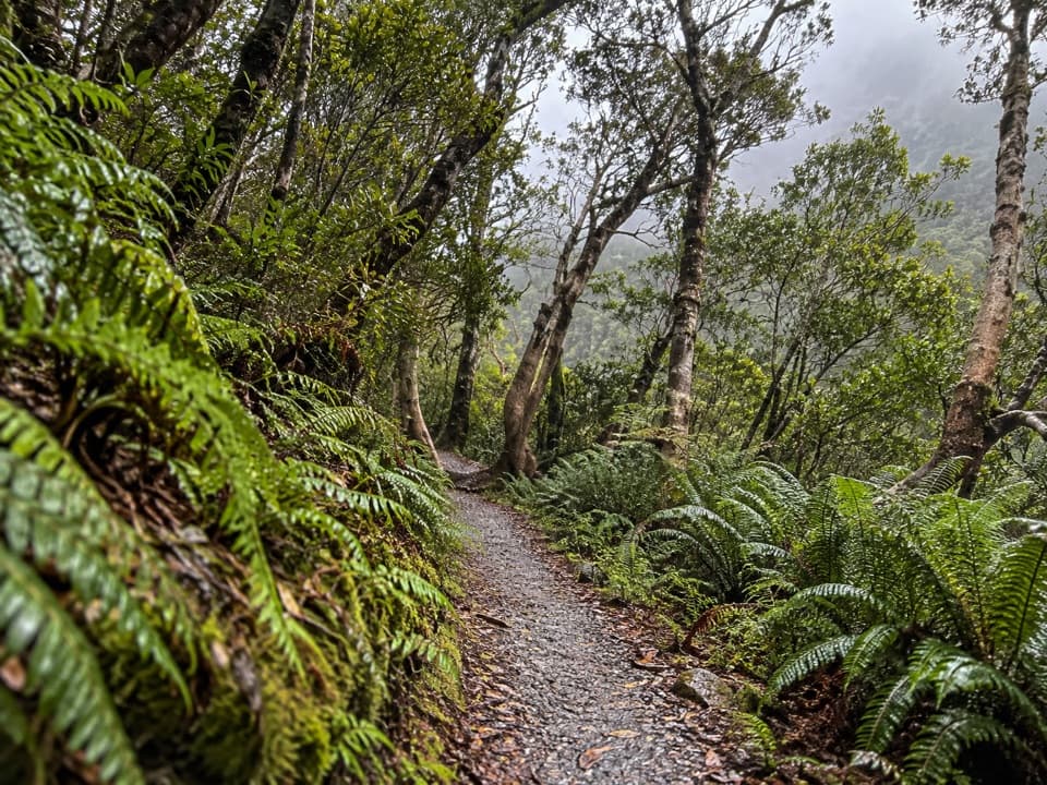
“White Horse Hill is coming up, and Kea Point is my pick for a gentler mountain walk from here. Allow about an hour return on gravel with some loose stones.”

Plays as you drive up to Kea Point in the Parkwolf Aoraki / Mount Cook Tour Guide.

More stories near here in the app

  • Hooker Valley and the Walk to Hooker Lake
  • The Hermitage and Hillary’s Alpine Centre
  • Visitor Centre and Old Mountaineers’ Café
  • Village Petrol Pumps and Bowen Bush Walk
  • 24 audio storiesacross Aoraki / Mount Cook’s roads, triggered by GPS as you drive
  • Wildlife heatmapsfor Kea, Rockwren, New Zealand Falcon, and 13 more
  • Works offlinemaps, 15 trails, 30 places, and audio download before you lose signal
  • CarPlay readysimple controls built for the drive
★★★★★
“Fantastic app with many points of information… It’s great to just turn on while you’re driving and it gives you an audio tour of the national Park. We love it!!!!”
JMJamesApp Store review
Download Parkwolf on the App StoreGet Parkwolf on Google Play

4.7 from 8,600+ ratings

Guide

More about Kea Point

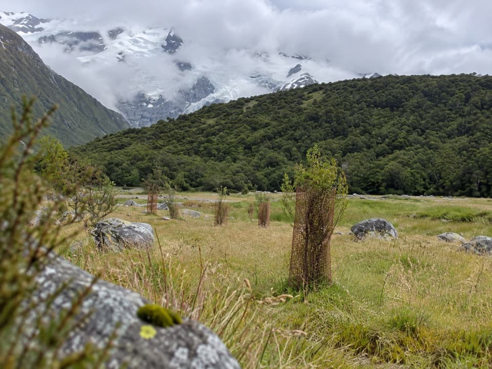
A short walk to glacier countryKea Point is a high alpine lookout on a viewing deck above the Mueller Glacier moraine.

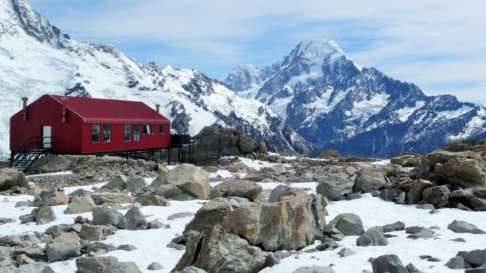
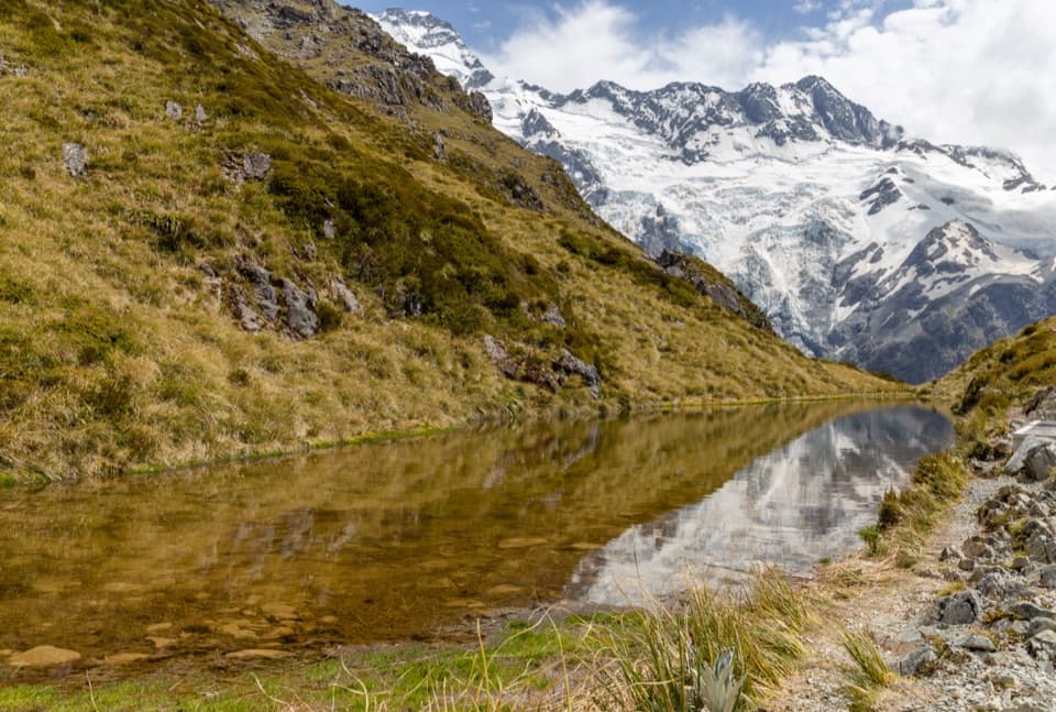
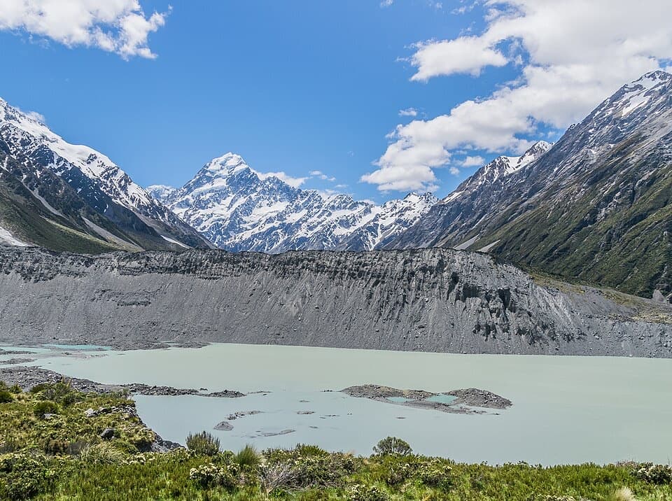
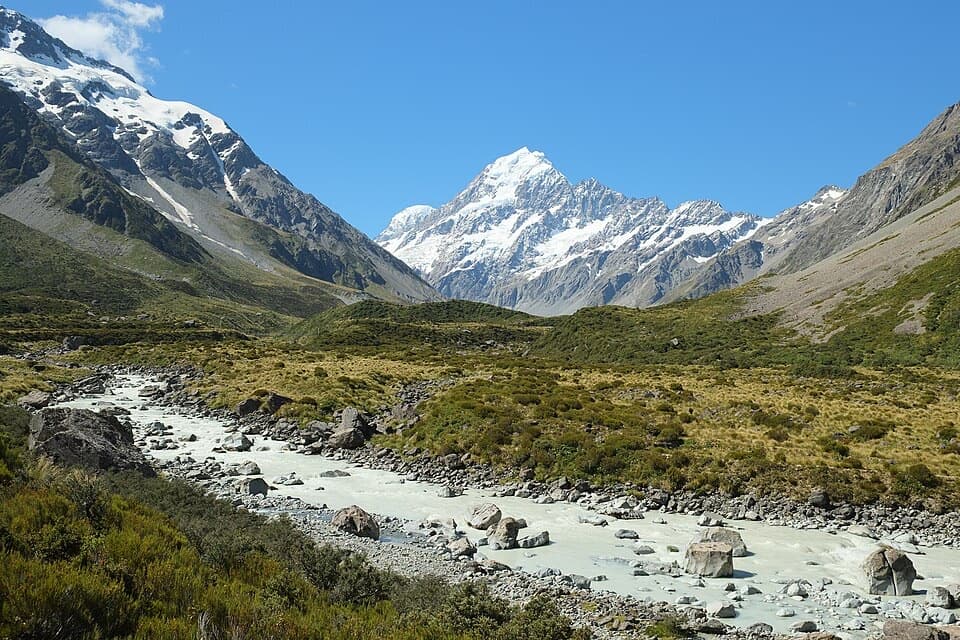
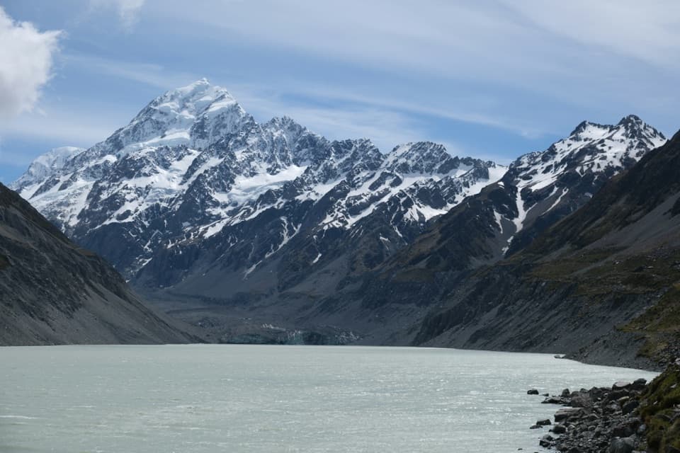
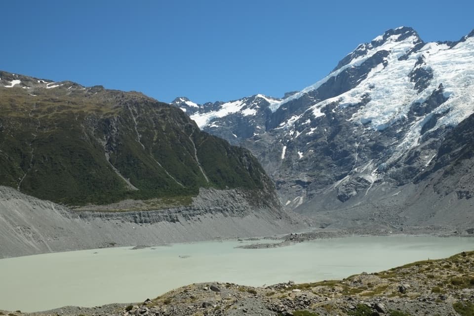
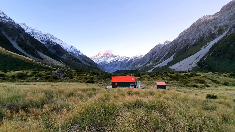
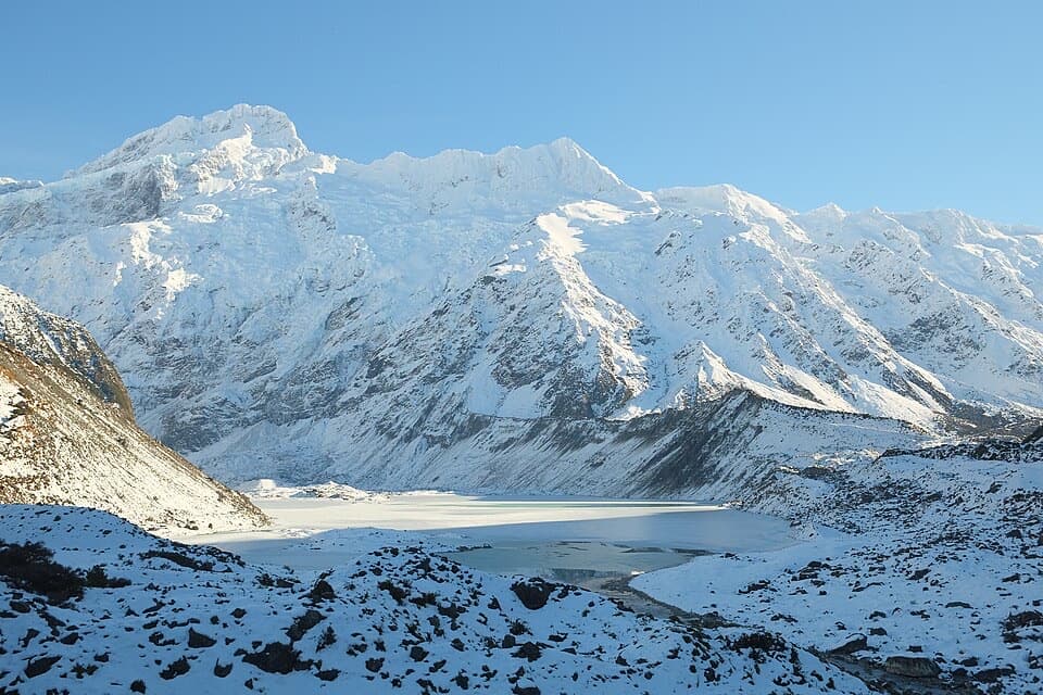
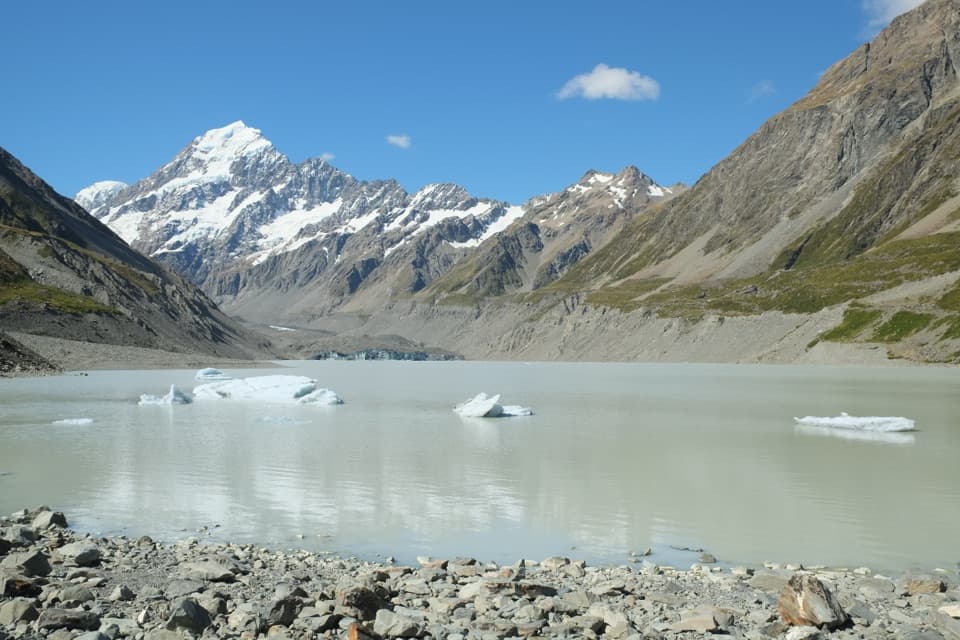
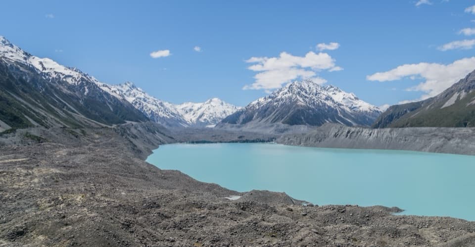
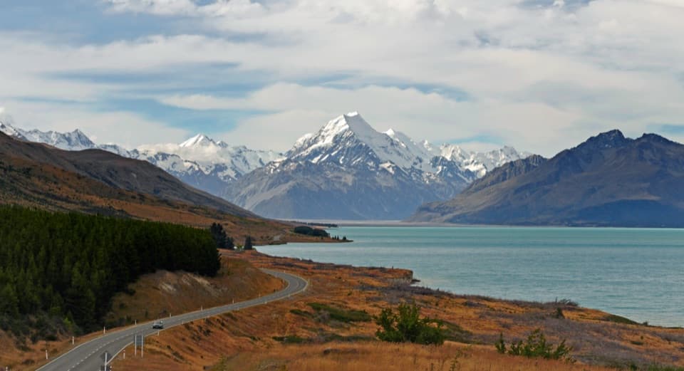
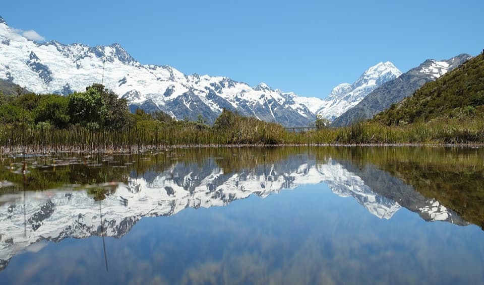
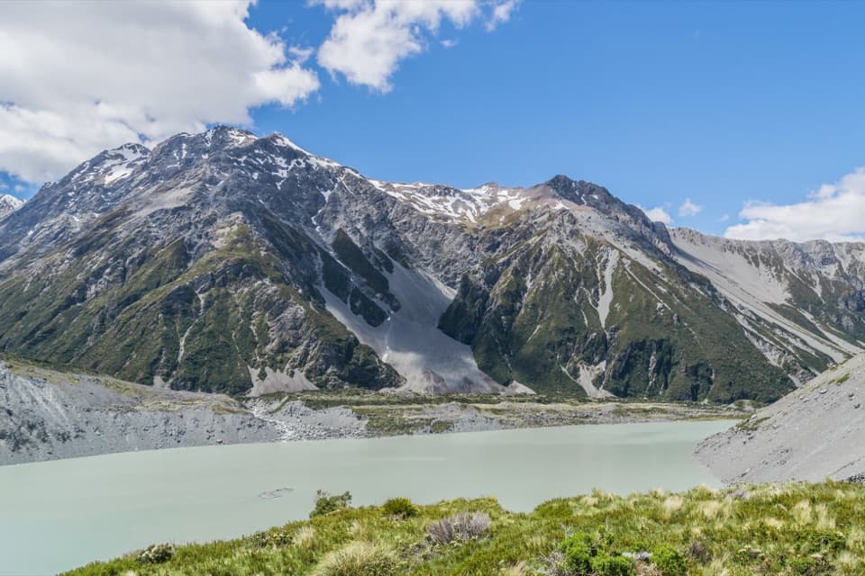
Kea Point is a high alpine lookout on a viewing deck above the Mueller Glacier moraine. The close view of Mueller Glacier lake, Aoraki/Mount Cook, Mount Sefton and The Footstool makes this a rewarding stop if you want to get into the mountain scenery without committing to a long day walk.

Choose your startFor the shorter outing, start at White Horse Hill Campground at the end of Hooker Valley Road;…

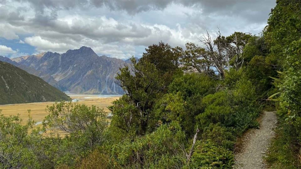
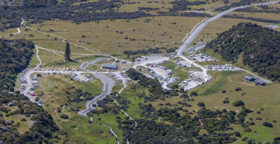
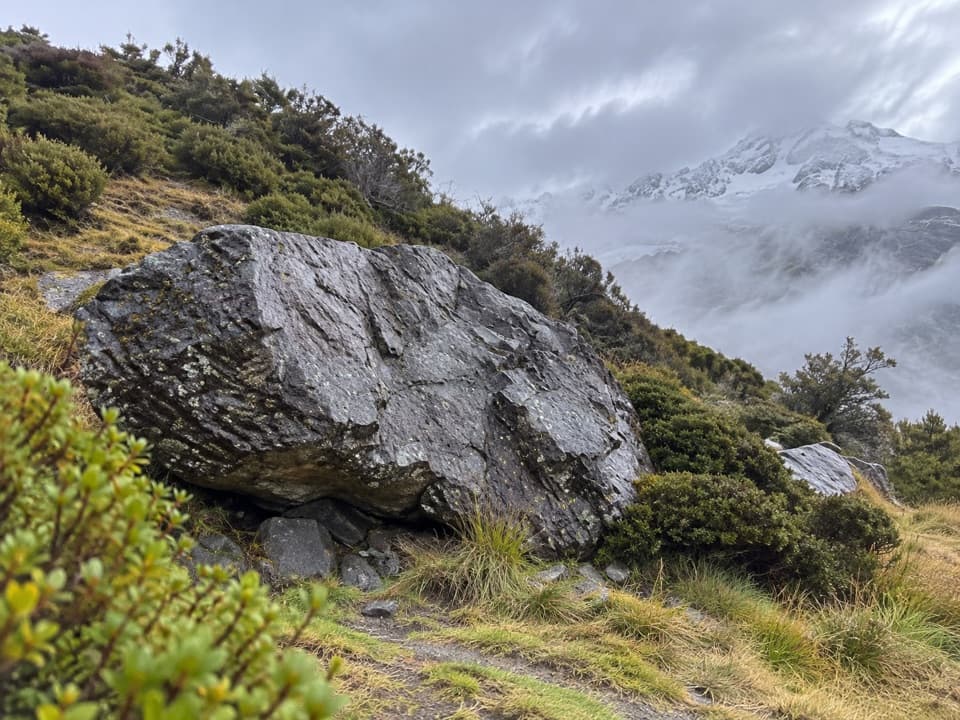
For the shorter outing, start at White Horse Hill Campground at the end of Hooker Valley Road; DOC estimates about an hour return. Starting by the Visitor Centre on Terrace Road makes it about two hours return. The track winds up through grassland and low alpine scrub. Visitors describe a small final rise and some loose stones near the deck, so expect more than a level stroll.

Take in the whole viewFrom the deck, look across the milky lake and moraine toward Aoraki, with Mount Sefton and The…

From the deck, look across the milky lake and moraine toward Aoraki, with Mount Sefton and The Footstool framing the valley. This is the best place to make the lake part of your mountain photo; you have to walk to the deck for that view. Cloud can hide Aoraki's summit, but the lake and surrounding peaks still give you plenty to look at.

A landscape reshaped in 1913In 1913, a stream cut through from the glacier to the original Hermitage site and damaged the…

In 1913, a stream cut through from the glacier to the original Hermitage site and damaged the building. The event reshaped the terrain around the moraine and gives this view a human story as well as a glacial one.

Sort the practical details firstWhite Horse Hill has public toilets, and its car park can fill at peak times; even an annual…

White Horse Hill has public toilets, and its car park can fill at peak times; even an annual parking permit doesn't reserve a space. There is no shop at the lookout, so pick up snacks before you leave the village. Dogs aren't allowed on the track. The route is walked year-round, but ice or snow can make winter footing tricky, and alpine weather changes quickly.

Wildlife

Wildlife in Aoraki / Mount Cook

All Aoraki / Mount Cook wildlife maps

Sighting maps show where each species has been reported across Aoraki / Mount Cook. Wildlife moves, so no sighting is guaranteed.

Keep exploring

Near Kea Point

See it all on the map

Trails nearby

More stops nearby

Parkwolf’s Aoraki / Mount Cook ranking

Top sights in Aoraki / Mount Cook

All 30 places
  1. 1Hooker LakeSight
  2. 2Tasman Glacier ViewSight
  3. 4Sir Edmund Hillary Alpine CentreSight
  4. 5Sealy TarnsSight
  5. 6Tapataia Mahaka / Peters LookoutSight
  6. 7Red Tarns ViewpointSight

Take Parkwolf to Aoraki / Mount Cook.

The audio tour guide for the drive, plus offline maps, trails, and wildlife heatmaps for when the signal drops.

4.7 from 8,600+ ratings

Download Parkwolf on the App StoreGet Parkwolf on Google Play