
Place · 0 mi away
Challenging
This is not a built trail—it’s a true wilderness route you craft yourself through the Sage Creek Wilderness. Most hikers start and finish near Sage Creek Campground or pullouts along Sage Creek Rim Road, linking bison/game paths and natural drainages into a loop. Expect roughly 22–24 miles total, depending on your line. The draw here is rugged solitude, huge prairie skies, and the freedom to roam.
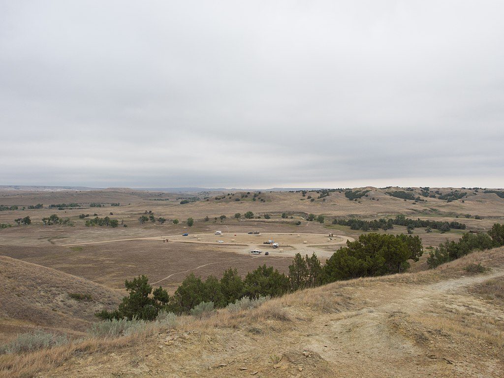
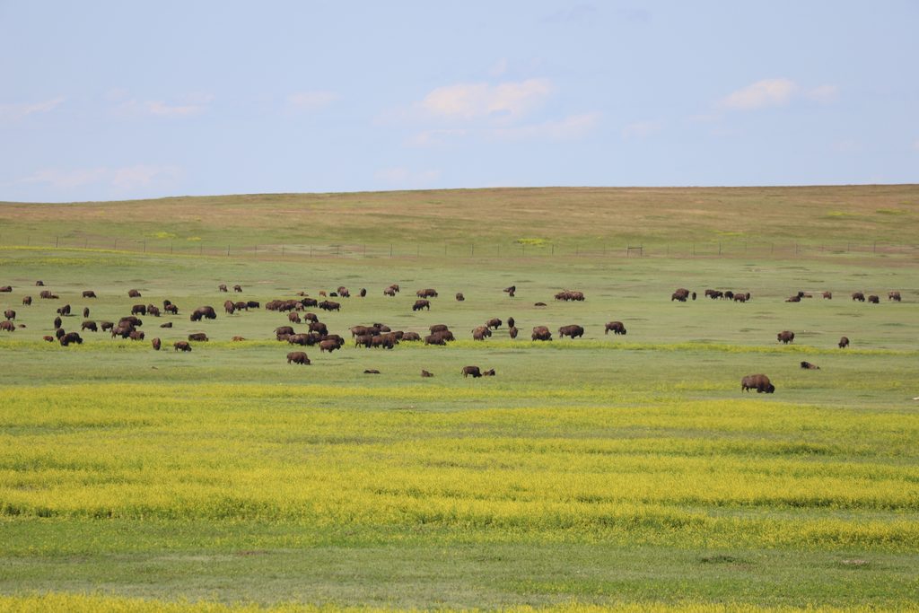
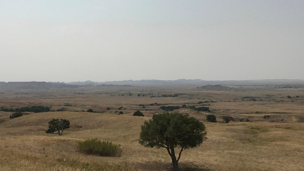
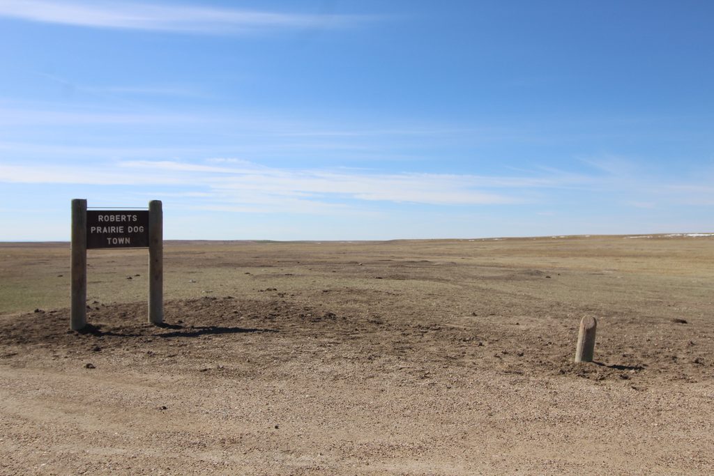
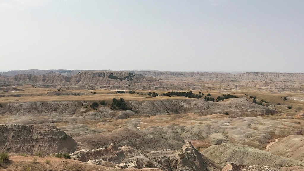
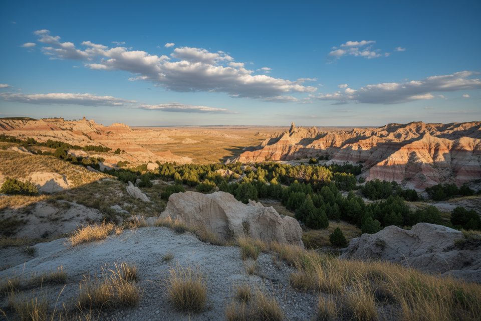
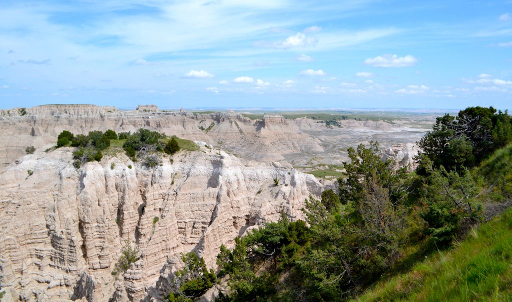
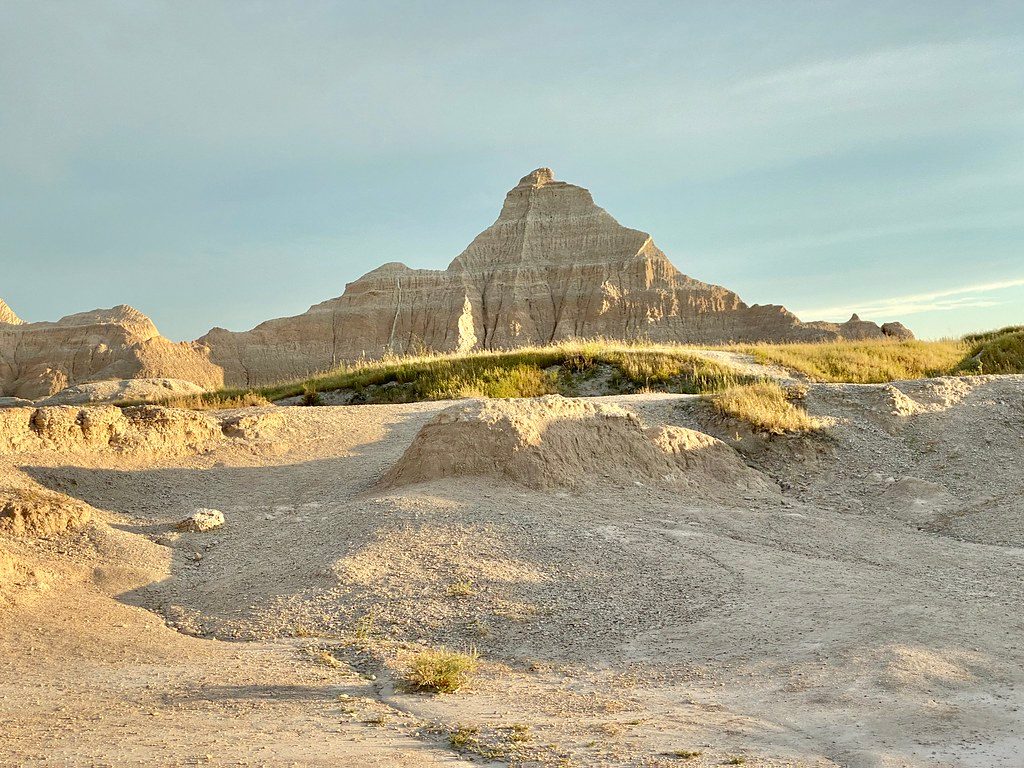
The route weaves across mixed-grass prairie and eroded badlands—broad valleys, clay hills, and sandy washes. You’ll intersect Sage Creek multiple times, sometimes walking its sandy bed, other times climbing ridges and dropping through draws. A standout waypoint is Deer Haven, a rare pocket of junipers halfway up the formations that offers shade and big views—worth planning your loop around. Wildlife is the headline: large bison herds, pronghorn, coyotes, mule deer, and prairie dogs are all at home here. Give bison especially wide space and yield; you’re the visitor on their highways.
Navigation is the crux. There are no signs, no blazes, and no constructed tread—just faint bison paths and your map/compass/GPS. Travel is slower than it looks thanks to cross-country terrain and frequent ups/downs through drainages. Plan for a long, strenuous day if you’re very fit, but most parties backpack it in 2–3 days. There is no potable water; carry everything you need (at least 3–4 liters per person, more in heat). After rain, the clay turns to gloppy “gumbo” that clings to boots and makes progress miserable.
Dispersed camping is allowed once you’re more than 0.5 mile from any road and out of sight of it. No established sites, no facilities, and no fires—leave no trace and pack everything out. Pets are not allowed in the Badlands Wilderness/backcountry.
Spring and fall are your windows for reasonable temperatures and more pleasant travel. Summer brings intense heat with little to no shade (Deer Haven is the rare exception), while winter can pound you with cold and wind. Whenever you go, avoid wet forecasts—the gumbo will shut your hike down.
If you crave solitude, wildlife, and the satisfaction of picking your own line across a big landscape, this loop is gold. If you want signage, a defined tread, reliable water, and fixed mileage, it will frustrate you—consider frontcountry hikes near Cedar Pass instead.
Park at Sage Creek Campground or along Sage Creek Rim Road pullouts; there is no signed trailhead—walk directly into the wilderness from these access points.
Large bison are common—give wide berth. Zero potable water; carry all you need. Extreme exposure with little shade. After rain, clay becomes slick, sticky gumbo. No fires; dispersed camping only when >0.5 mile from roads and out of sight.
Place · 0 mi away
Place · 4.2 mi away
Place · 5.4 mi away
Place · 7.5 mi away
Moderate · 11.4 mi away
Easy · 15.6 mi away
Easy · 22.2 mi away
Moderate · 22.2 mi away

Parkwolf Tour Guide
