Parking
Start at the Door and Window parking area off SD-240; Castle Trail begins across the road. The west end is by Fossil Exhibit Trail. This is a point-to-point route, so leave a vehicle at each end or arrange a pickup.

#3 of 11 trails in Badlands
Badlands National Park, SD
Trade quick overlooks for a full east-west walk through rock and prairie.
Overview
The west end reaches the separate Fossil Exhibit Trail, a fully accessible 0.34-mile boardwalk loop with fossil replicas and exhibits of animals that once lived in the Badlands. It makes a good short stop after the crossing, but it isn’t part of Castle Trail’s 5.1-mile route. Food and water at either end weren’t confirmed, so bring what you need for the hike.
 Parkwolf’s verdictA worthwhile add-on at the finish
Map & elevation
Plan your hike

The highest, rockiest slopes around here are a summer buffet for grizzly bears.
Badlands Tour Guide
Parkwolf is a GPS audio tour guide for Badlands National Park. As you drive, it chimes in with what’s ahead: hidden gems, upcoming stops, history, geology, and wildlife, right through your car’s speakers.
See the Badlands audio tourRecorded for this trailhead
Door, Window and Notch Trailheads“You're nearing the Door and Window trail parking area. For an easy stop, choose Window's accessible boardwalk, about a quarter mile round trip to a natural opening overlooking an eroded canyon.”
Plays as you drive up to this trailhead in the Parkwolf Badlands Tour Guide.
More stories near here in the app
“We recently toured Badlands, Custer State Park, Mount Rushmore and more! We learned so much from this app as we toured each of these sites. The audio tours are worth the money.”


Trail guide
Castle Trail is the park’s longest established hiking route: a 5.1-mile point-to-point line from the Door and Window parking area in the east to Fossil Exhibit in the west. It threads through buttes and spires, then crosses tall prairie and ravines beneath the cliffs. The payoff is seeing the terrain change over a whole walk, rather than stopping at one viewpoint. The National Park Service calls it moderate and relatively level; allow about three hours from one end to the other. Its 10.2-mile figure means walking the same corridor out and back, around five hours. This is a real one-way trail, not a loop.
It’s a good choice if you want to walk through the Badlands instead of collecting short roadside views. The two ends are separate, so plan a pickup or leave a car at the far lot before you start. Walking back to your starting point doubles the distance.
Start at the shared Door and Window parking area, cross SD-240, and follow the red markers west. The eastern stretch runs under high cliffs, down grassy washes, and through narrow rocky ravines. It’s the roughest part, with more dips and uneven footing than the longer prairie sections. Keep an eye out for the marker posts where the path fades into grass; the easiest-looking line across an open wash isn’t always the route.
The cliffs open out into prairie, dry washes, and stretches of bare ground. The line stays relatively level for a long way, but deep ravines cut across the grass and the tread isn’t always obvious. Castle meets Old Northeast Road and joins Medicine Root and Saddle Pass at marked junctions. Those are options on the connected trail network, not part of the direct Castle crossing. Adding Medicine Root makes a different loop; Saddle Pass is a much steeper climb to its own overlook.
As you near Fossil Exhibit, the route closes back in among eroded gullies, spires, and buttes. From this end, the walk begins in a bowl of formations before opening into the prairie; from Door and Window you experience that in reverse, finishing among the rock towers. It’s a useful change of scale after miles of open ground, and the spot where the trail’s name feels most apt.
There’s little shade on the open parts, so sun and heat can build up over five miles. Bring all the water you’ll need; I couldn’t confirm a water source along the route. Rain can turn the muddy sections very slippery, especially in the washes and bare flats. Follow the markers and give wildlife at least 100 feet. Hikers report bighorn sheep and deer here, but sightings are never guaranteed. Pets aren’t allowed on park trails.
Wildlife
 760 sightingsBisonMost seen around 6 PMSighting map
 1,061 sightingsBighorn SheepMost seen around 6 AMSighting map
 906 sightingsPrairie DogMost seen around 5 PMSighting map
 333 sightingsPronghornMost seen around 6 AMSighting map
 304 sightingsMule DeerMost seen around 7 PMSighting map
 87 sightingsCoyoteMost seen around 7 PMSighting map
Sighting maps show where each species has been reported across Badlands. Wildlife moves, so no sighting is guaranteed.
Keep exploring
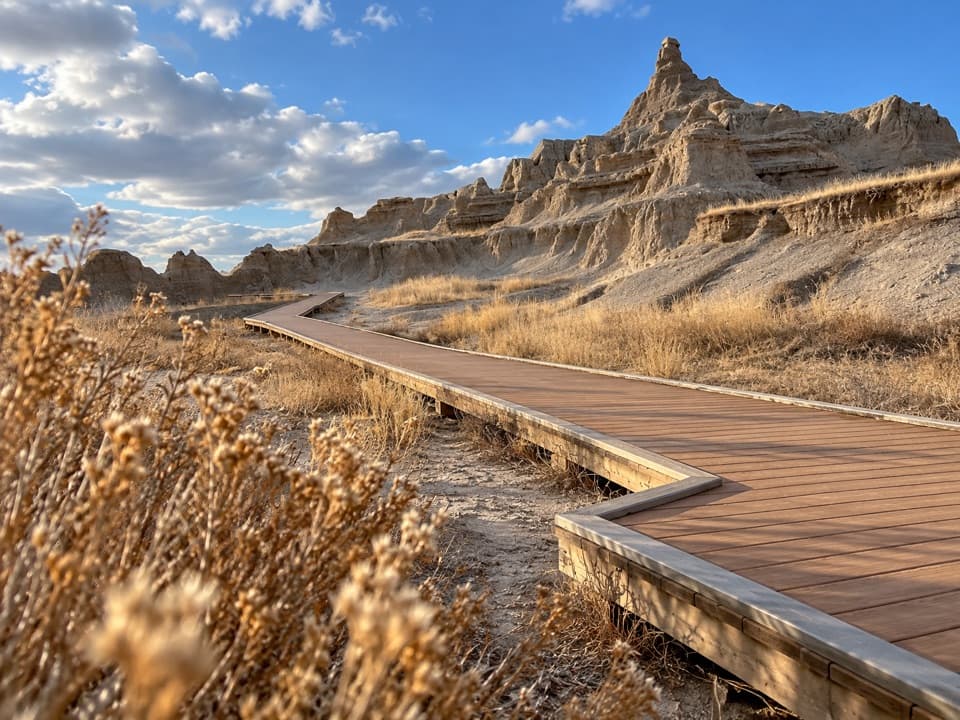 EasyWindow Trail0.3 mi · 20 min · At the trailheadA short, accessible boardwalk to a window into an eroded canyon.
 ModerateNotch Trail1.3 mi · 1.8 hr · 0.1 mi awayA ladder climb earns a big look across the White River Valley.
 EasyDoor Trail0.8 mi · 30 min · 0.2 mi awayBoardwalk through the Door, then a rough walk among eroded formations.
 ModerateCliff Shelf Nature Trail0.5 mi · 30 min · 0.8 mi awayA quick loop pairs juniper shade with views across layered formations.
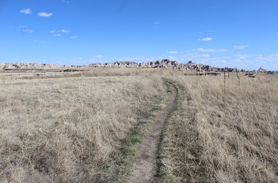 ModerateMedicine Root Loop Trail4.2 mi · 2.3 hr · 0.9 mi awayA rolling prairie loop with distant views of Badlands formations.
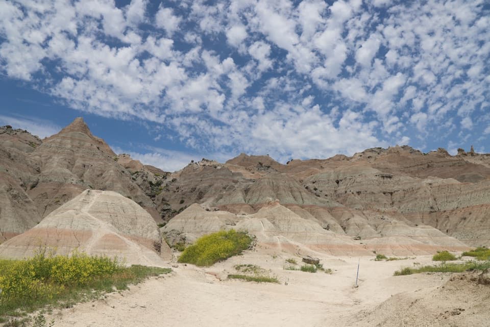 ChallengingSaddle Pass Trail0.7 mi · 40 min · 2.3 mi awayShort, steep climb to a broad White River Valley view.
 EasyFossil Exhibit Trail0.3 mi · 20 min · 3.8 mi awayA quick, accessible loop with tactile fossil replicas and layered views.
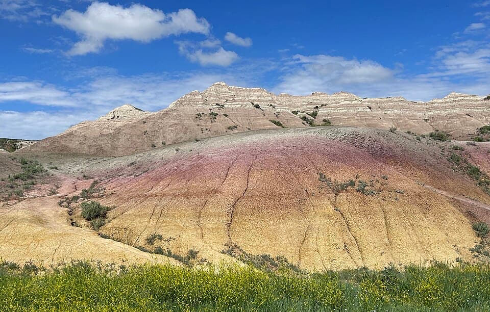 EasyYellow Mounds Overlook Trail0.1 mi · 18 min · 14.5 mi awayWalk a short path through yellow, purple, gray and red striped hills.
 Visitor center · 1.1 mi awayBen Reifel Visitor CenterA strong first stop, especially when the fossil lab is working.
 Lodging · 1.3 mi awayCedar Pass LodgeHistoric cabins make this the Badlands' only in-park stay.
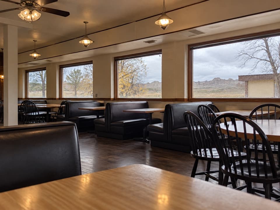 Restaurant · 1.3 mi awayWaysides at Cedar Pass LodgeA sit-down meal near the Ben Reifel Visitor Center.
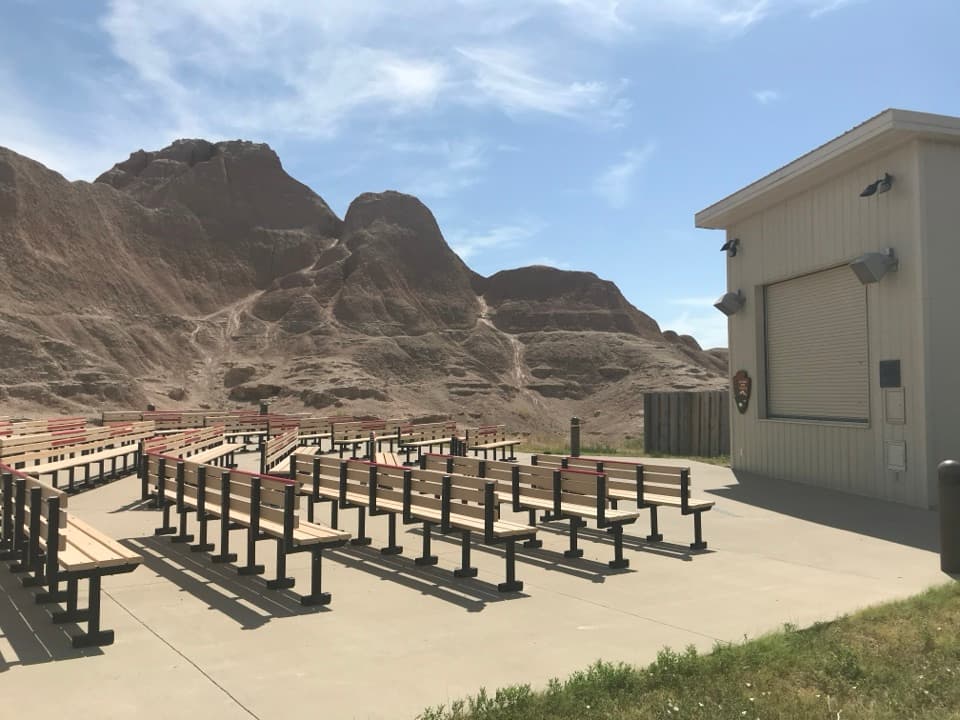 Sight · 1.4 mi awayCedar Pass AmphitheaterStay for a ranger-led night sky tour with a telescope.
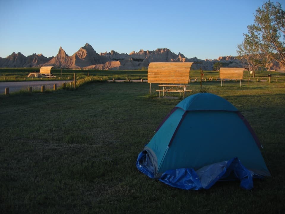 Campground · 1.7 mi awayCedar Pass CampgroundBadlands views, a walkable visitor center, and summer ranger programs.
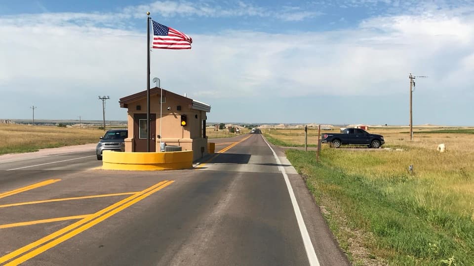 Entrance station · 1.9 mi awayInterior Entrance StationHandle park entry and pick up a map at the southern gate.
 Sight · 2.2 mi awayBig Badlands OverlookRed and gray bands make this a quick stop worth keeping.
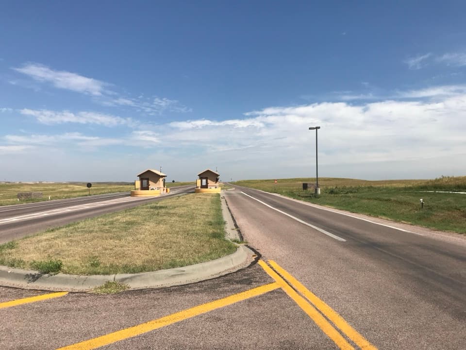 Entrance station · 2.2 mi awayNortheast Entrance StationMaps, permits, and a practical start at the northeast gate.
Parkwolf’s Badlands ranking
The audio tour guide for the drive, plus offline maps, trails, and wildlife heatmaps for when the signal drops.