Parking
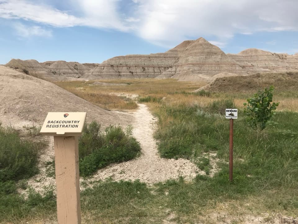
Use the signed Deer Haven Trailhead at Conata Picnic Area off Conata Basin Road, by the backcountry register past the restrooms. Auto and bus/RV parking, a picnic table, and a restroom are available at the lot; capacity is not specified.
#9 of 11 trails in Badlands
Badlands National Park, SD
Six miles round trip on unmarked paths to a green juniper basin.
Overview
The junipers stand out as a green pocket against the open, striped Badlands, and the grove becomes visible before you reach it. The final approach is faint rather than a maintained path, so expect to choose your way across the wash and brush. Some hikers continue up the steep, loose slope beyond the basin for broader plateau views; that optional scramble is outside this route and requires hands-and-feet movement.
 Parkwolf’s verdictThe payoff
Map & elevation
Plan your hike

The highest, rockiest slopes around here are a summer buffet for grizzly bears.
Badlands Tour Guide
Parkwolf is a GPS audio tour guide for Badlands National Park. As you drive, it chimes in with what’s ahead: hidden gems, upcoming stops, history, geology, and wildlife, right through your car’s speakers.
See the Badlands audio tourRecorded for this trailhead
Conata Picnic Area and Deer Haven“You're coming up on Conata Picnic Area, with sheltered tables below striped badland slopes. It's a useful lunch stop if you've brought food.”
Plays as you drive up to this trailhead in the Parkwolf Badlands Tour Guide.
More stories near here in the app
“We recently toured Badlands, Custer State Park, Mount Rushmore and more! We learned so much from this app as we toured each of these sites. The audio tours are worth the money.”


Trail guide
Deer Haven is about a 6-mile out-and-back from Conata Picnic Area to a small juniper alcove in the Sage Creek Wilderness. It follows an unmaintained network of game paths, not a signed trail. Allow roughly 3 to 5 hours and come ready to navigate with a map or GPS. Published distances run from about 5 miles to nearly 7 as the faint paths wander and people explore; this estimate covers the return to the basin, before the optional upper shelf scramble.
Start at the backcountry register and follow the sandy path over a low rise into the drainages. At the early fork, the more direct route stays left and low; climbing straight into the formations leads away from the walk. The path crosses open grassland, passes reeds and a small tree clump, skirts a narrow gap, then bends around a low badland. Keep track of the line at each split. The tread thins through brush and fades at a broad pale wash, where game paths continue toward the trees. Finding the same corridor on the way back takes attention too.
There is a restroom and backcountry register at the Conata Picnic Area trailhead. The approach is exposed, water is unreliable in the Sage Creek backcountry, and dogs are prohibited on hiking trails and in backcountry areas. If you want a marked path or easy wayfinding, choose another Badlands trail.
Wildlife
 760 sightingsBisonMost seen around 6 PMSighting map
 1,061 sightingsBighorn SheepMost seen around 6 AMSighting map
 906 sightingsPrairie DogMost seen around 5 PMSighting map
 333 sightingsPronghornMost seen around 6 AMSighting map
 304 sightingsMule DeerMost seen around 7 PMSighting map
 87 sightingsCoyoteMost seen around 7 PMSighting map
Sighting maps show where each species has been reported across Badlands. Wildlife moves, so no sighting is guaranteed.
Keep exploring
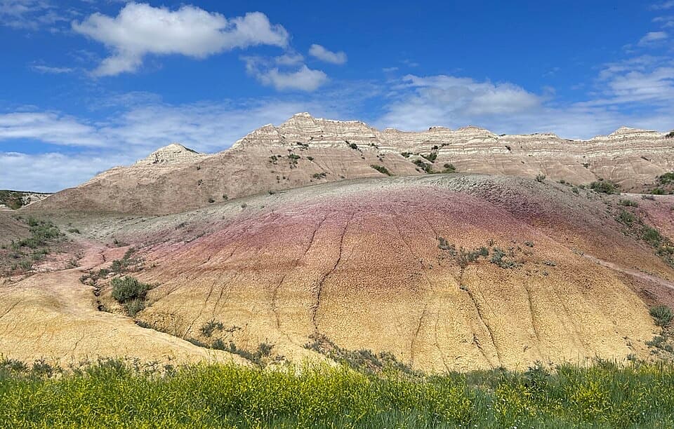 EasyYellow Mounds Overlook Trail0.1 mi · 18 min · 0.7 mi awayWalk a short path through yellow, purple, gray and red striped hills.
 EasyFossil Exhibit Trail0.3 mi · 20 min · 10.8 mi awayA quick, accessible loop with tactile fossil replicas and layered views.
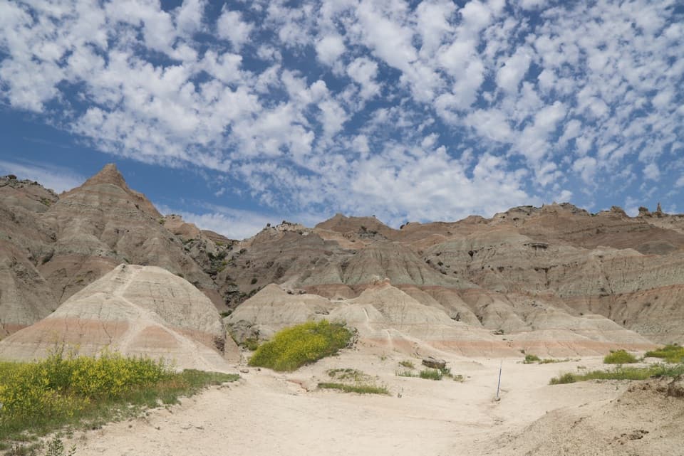 ChallengingSaddle Pass Trail0.7 mi · 40 min · 12.5 mi awayShort, steep climb to a broad White River Valley view.
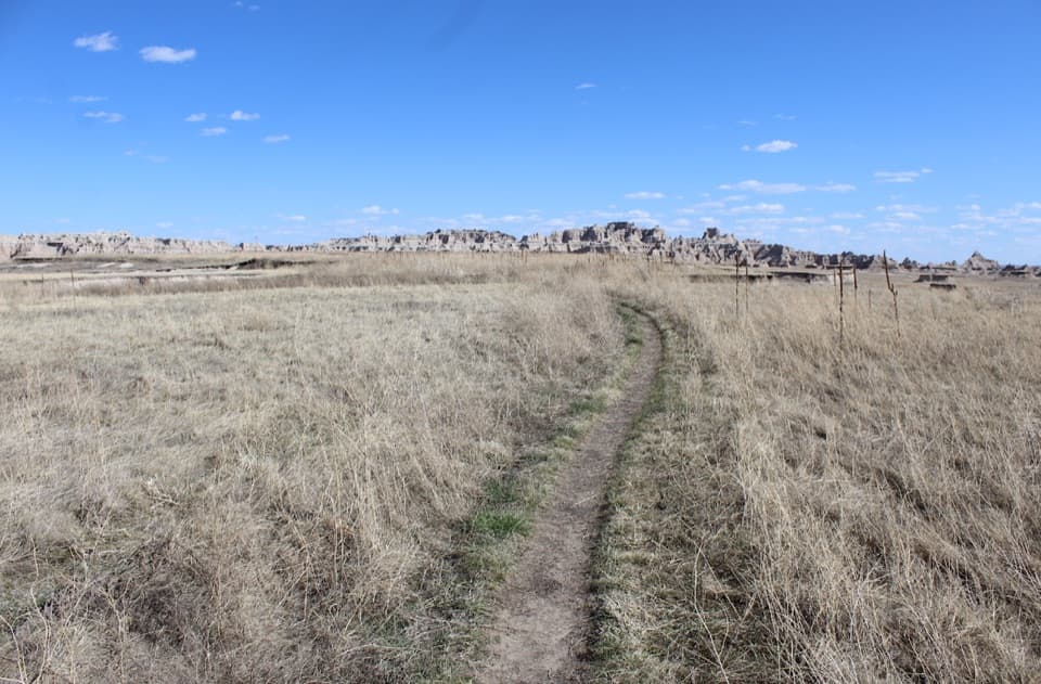 ModerateMedicine Root Loop Trail4.2 mi · 2.3 hr · 13.6 mi awayA rolling prairie loop with distant views of Badlands formations.
 EasyDoor Trail0.8 mi · 30 min · 14.6 mi awayBoardwalk through the Door, then a rough walk among eroded formations.
 ModerateCastle Trail5.1 mi · 3 hr · 14.6 mi awayTrade quick overlooks for a full east-west walk through rock and prairie.
 ModerateNotch Trail1.3 mi · 1.8 hr · 14.6 mi awayA ladder climb earns a big look across the White River Valley.
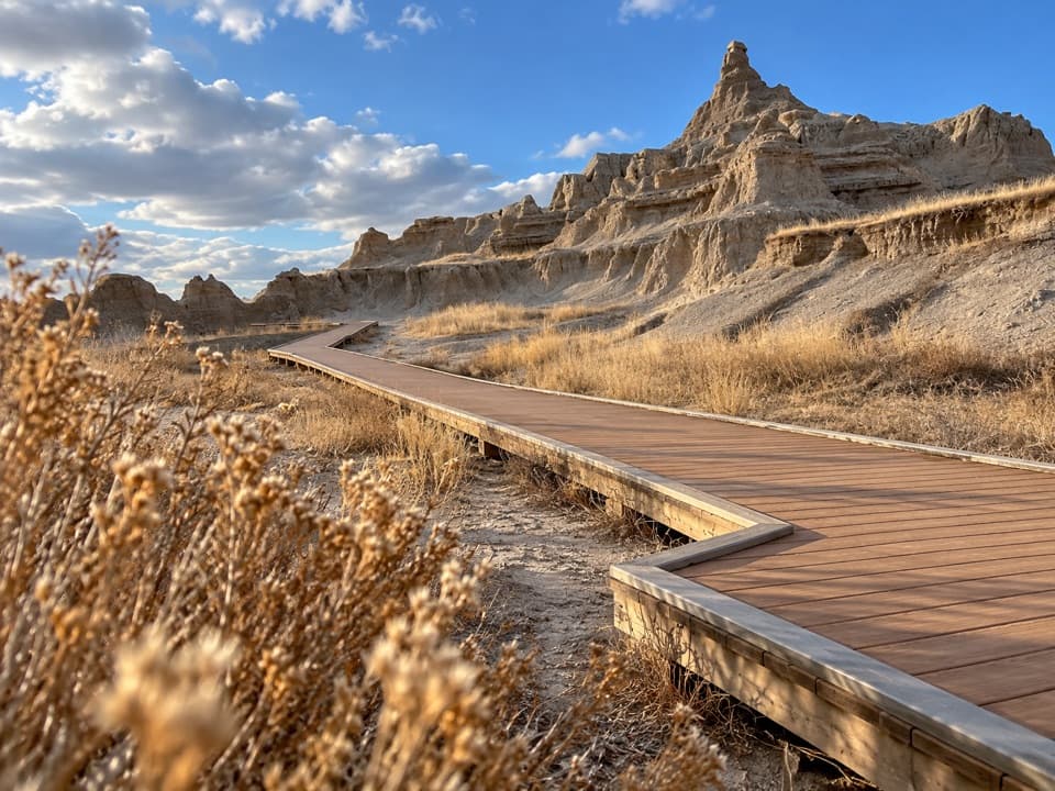 EasyWindow Trail0.3 mi · 20 min · 14.6 mi awayA short, accessible boardwalk to a window into an eroded canyon.
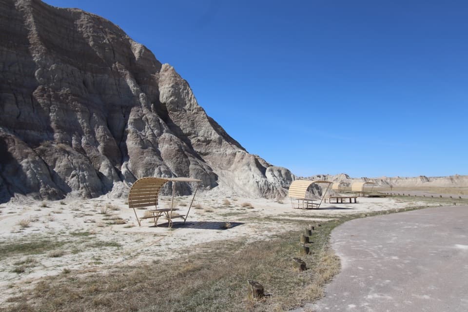 Picnic area · 0.1 mi awayConata Picnic AreaSheltered tables and a backcountry trailhead off the main loop.
 Sight · 0.7 mi awayYellow Mounds OverlookA quick roadside stop for colors you won't see at most overlooks.
 Sight · 0.8 mi awayConata Basin OverlookTwo ancient soils turn a quick roadside stop into a geologic lesson.
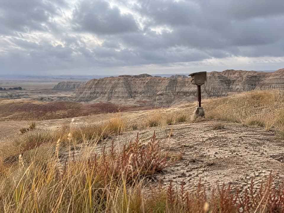 Sight · 0.8 mi awayErosion MarkersSurvey markers make slow erosion visible on a clay slope.
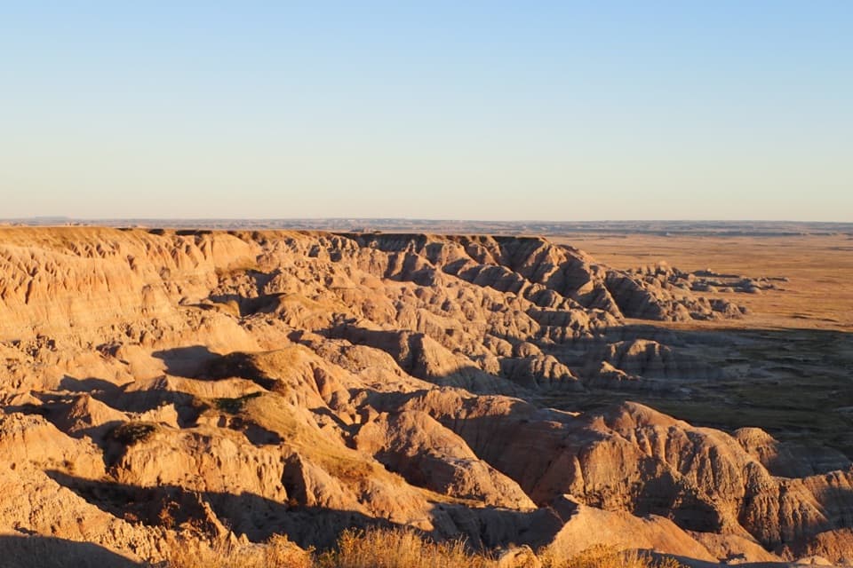 Sight · 1.6 mi awayHomestead OverlookEroded ridges, wide prairie, and a layered homestead story.
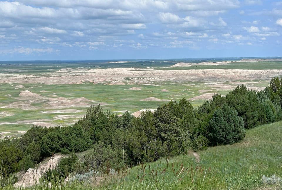 Scenic pullout · 2.5 mi awayAncient Hunters OverlookA roadside view with a possible ancient butchering story.
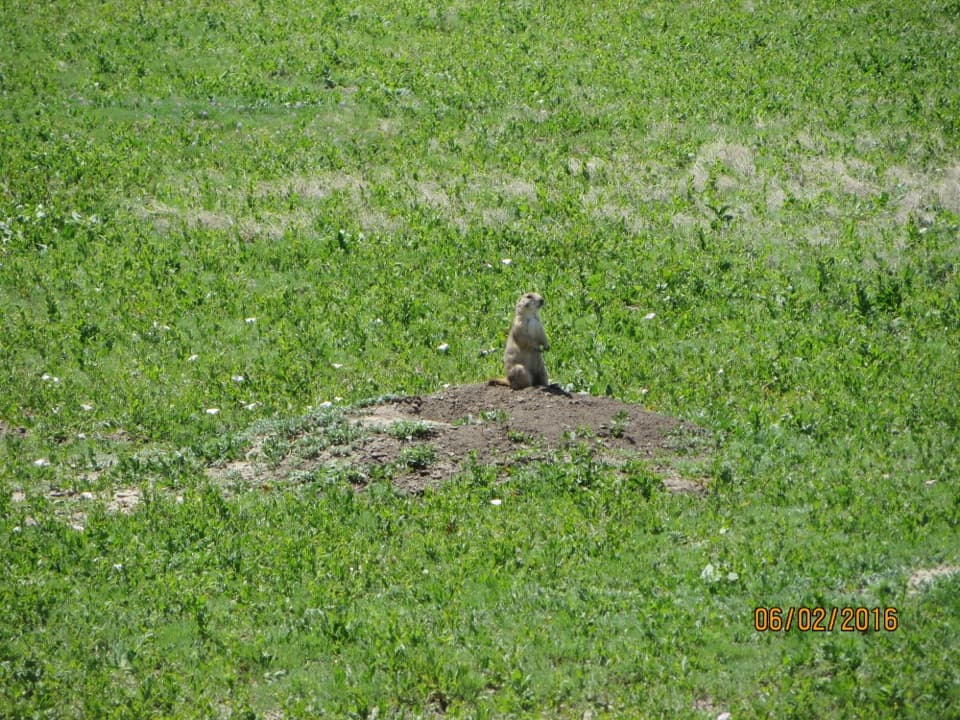 Sight · 2.7 mi awayQuinn Road Prairie Dog TownA roadside pause to hear and watch prairie dogs at their colony.
 Sight · 2.9 mi awayPinnacles OverlookSage Creek's jagged skyline earns a sunset stop.
Parkwolf’s Badlands ranking
The audio tour guide for the drive, plus offline maps, trails, and wildlife heatmaps for when the signal drops.
