
Place · 0 mi away
Challenging
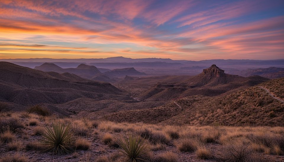
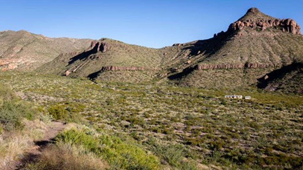
The Dodson Trail is the rugged, middle leg of Big Bend’s famed Outer Mountain Loop—an exposed, remote desert crossing tying the Blue Creek side near Homer Wilson Ranch to the Juniper Canyon side of the Chisos. It runs roughly 13.2 miles one way, with about 2,300 feet of cumulative up-and-down—not a loop, and not a casual stroll. Expect long, empty vistas of basins and the South Rim, volcanic cliffs and mesas, and the kind of solitude you only get far from pavement.
Underfoot it’s classic Chihuahuan Desert: rocky singletrack that ducks in and out of dry arroyos, gravelly washes that slow your pace, and short, punchy climbs that add up. Tread can be faint and brushy in places; cairns do most of the wayfinding work, but you’ll still need to pay attention, especially around junctions with Elephant Tusk and Smoky Creek. Shade is scarce. On clear mornings and evenings, the Chisos skyline glows—sunrise from camp along the route can be a trip highlight.
There is no reliable water on the Dodson. Plan to carry everything you need or cache water near the western approach; bear boxes for caching are along the access near Homer Wilson Ranch. If you’re backpacking, you’ll need a backcountry permit and must camp in the designated zone along the Dodson (CO4), obtained in person at a visitor center. Many hikers run a two-car shuttle—one at the Homer Wilson Ranch pullout on Ross Maxwell Scenic Drive (western end), another at the Juniper Canyon side (eastern end).
This is a very strenuous desert traverse best left to experienced hikers and backpackers who are comfortable with exposure, route-finding, and carrying significant water weight. If you’re new to the park or desert hiking, consider tackling the Dodson as part of a well-planned backpack rather than as a long day push.
The route skirts below dramatic formations like Goat and Carousel Mountains, crossing volcanic and sedimentary layers that define Big Bend’s geology. Watch for desert birdlife—roadrunners zipping between ocotillo and yucca, turkey vultures circling the thermals. The views of the Chisos are near-constant, and they only get better the farther you are from the road.
Aim for late fall through early spring. Winter often coincides with fresher trail maintenance and cooler temps. From May through September, this trail is brutally hot and dangerously exposed; avoid summer unless you are exceptionally prepared for extreme heat and heavy water carries. Start at dawn for cooler temps and better light on the Chisos.
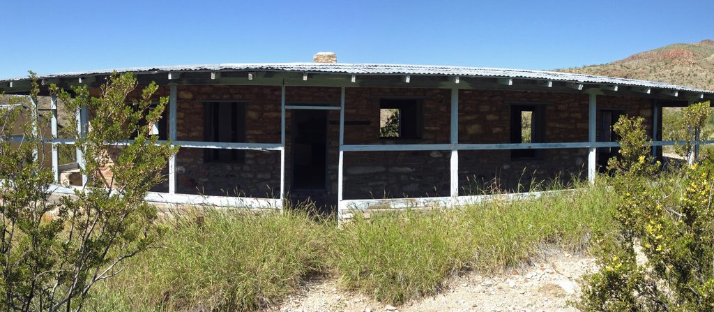
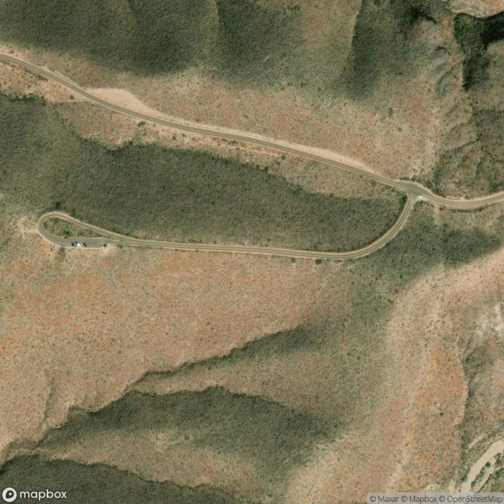
Park at the Homer Wilson Ranch pullout on Ross Maxwell Scenic Drive; the trail departs to the right (south) of the ranch. Water cache bear boxes are along the approach near this western trailhead.
No reliable water; extreme heat May–Sep; overgrown/faint tread with tricky junctions (Elephant Tusk, Smoky Creek). Fully exposed—carry ample water, sun protection, map/GPS, and be self-reliant.
Place · 0 mi away
Place · 0 mi away
Place · 0.5 mi away
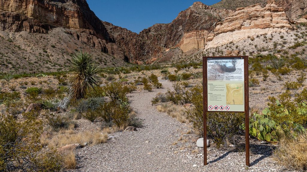
Place · 2.7 mi away
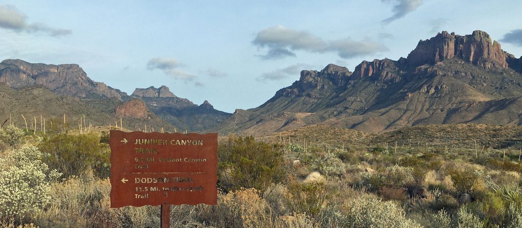
Challenging · 0 mi away
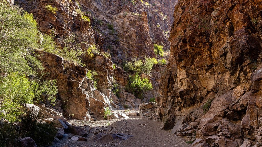
Moderate · 1.2 mi away
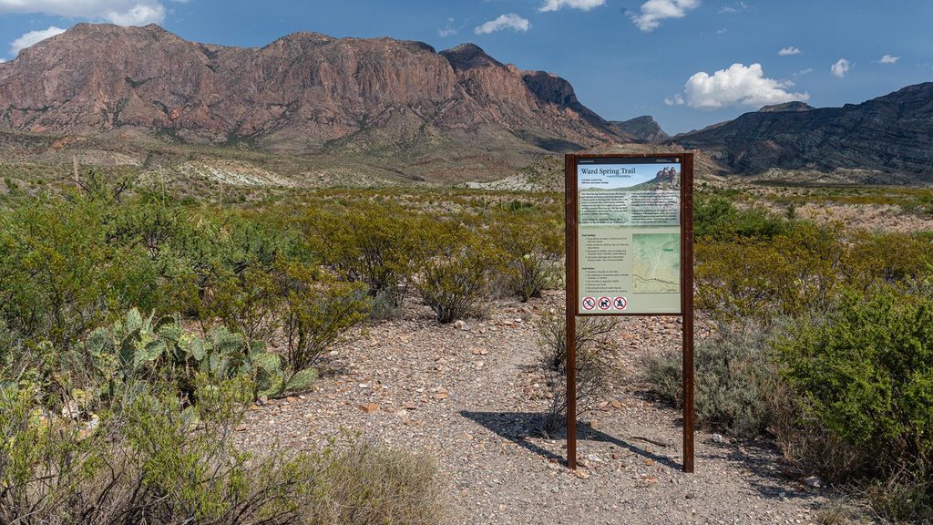
Easy · 2.4 mi away
Easy · 2.8 mi away

Parkwolf Tour Guide
