Parking
Use the paved Upper Burro Mesa Pour-Off pullout on Ross Maxwell Scenic Drive, 6.5 miles from the drive's northern end. It holds about six vehicles.
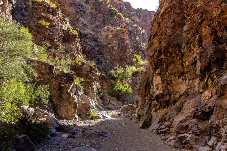
Big Bend National Park, TX
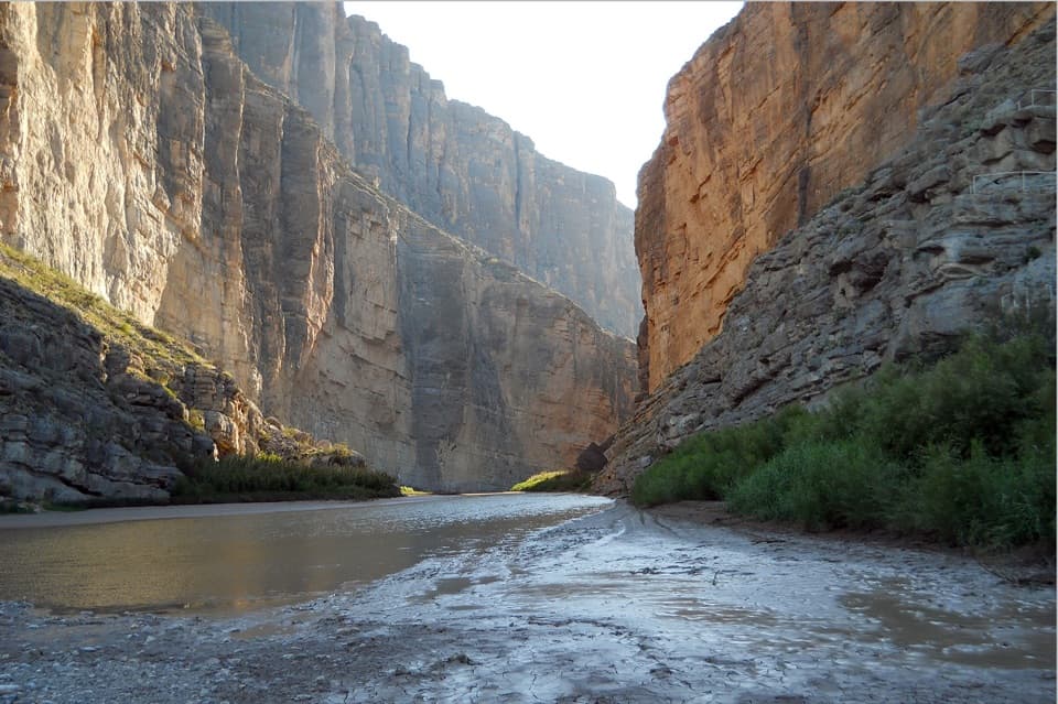
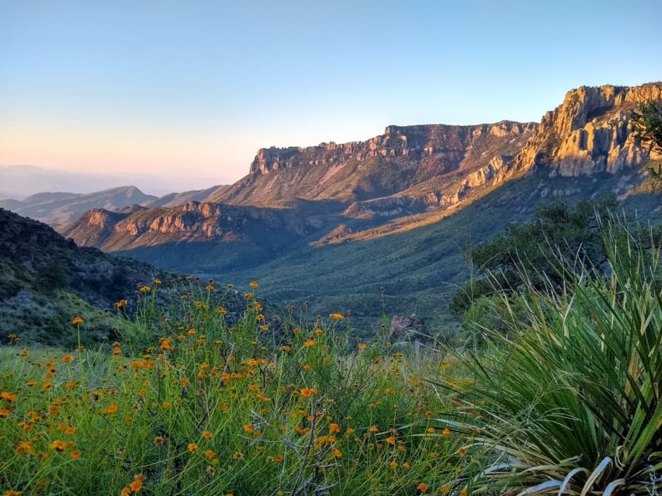
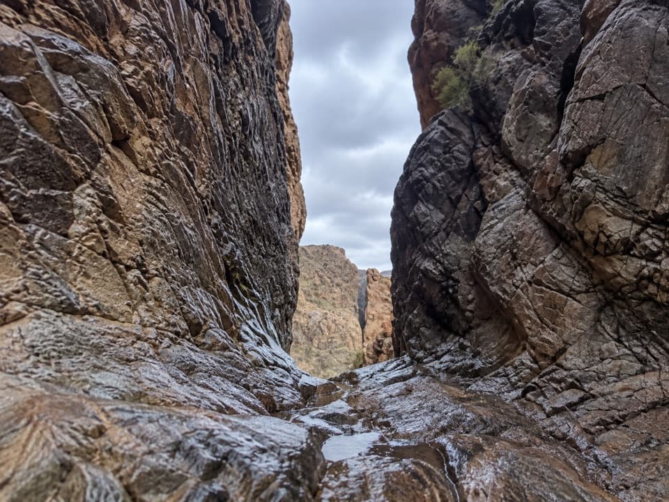
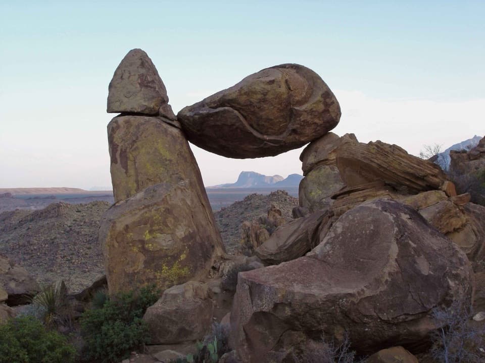
A sandy wash and boulder scrambles lead to a slick-rock grotto.
Overview
Upper Burro Mesa Pouroff Trail is a 3.5-mile out-and-back from a roadside pullout on Ross Maxwell Scenic Drive, dropping into a narrow canyon and sandy wash before reaching the slick-rock pouroff and a grotto. The park lists about 500 feet of elevation change and a two-hour average; allow two to three hours if you want time for the boulder sections. It is a good short canyon walk if you do not mind scrambling, but the footing makes it more demanding than the mileage suggests. The park lists 3.5 miles; other estimates run from 3.6 to 3.8 miles, so treat the total as approximate. Pets are not allowed on park trails.
 Parkwolf’s verdictIs this the hike for you?
Map & elevation
Plan your hike

The highest, rockiest slopes around here are a summer buffet for grizzly bears.
Big Bend Tour Guide
Parkwolf is a GPS audio tour guide for Big Bend National Park. As you drive, it chimes in with what’s ahead: hidden gems, upcoming stops, history, geology, and wildlife, right through your car’s speakers.
See the Big Bend audio tourRecorded for this trailhead
Upper Burro Mesa Pouroff“You're nearing the Upper Burro Mesa Pouroff trailhead, for a canyon hike through sandy washes and boulder scrambles.”
Plays as you drive up to this trailhead in the Parkwolf Big Bend Tour Guide.
More stories near here in the app
“Fantastic app with many points of information… It’s great to just turn on while you’re driving and it gives you an audio tour of the national Park. We love it!!!!”


Trail guide
The route drops down an open hillside into a narrow canyon. A small pouroff and a boulder section require scrambling; follow the existing cairns and do not add your own. The canyon then opens into a sandy wash. Keep track of the route back as you enter the wash: visitors report that it can be easy to lose the return line among the rocks.
The wash carries you toward the upper pouroff, narrowing again between tall rock walls and opening into wider stretches. Expect a mix of sand, loose rock, and boulders rather than a smooth, built trail. Much of the approach and return is exposed, with some shade under the later canyon walls, so an early start and enough water make a real difference.
The endpoint is a deep slick-rock drop above a grotto-like chamber. The trail reaches the upper pouroff; it does not connect down to Lower Burro Mesa, which has a separate access. Entering the grotto is optional and requires enough bouldering ability to climb back out. Only descend if you are sure you can reverse every move.
Do not enter this narrow canyon when storms threaten. Flash floods occur frequently here, and the steep walls leave little chance to climb to safety once water is moving through the wash. Save some energy for the return, which climbs back toward the road after the descent.
Use the paved Upper Burro Mesa Pour-Off pullout on Ross Maxwell Scenic Drive, about 6.5 miles from the drive's northern end. It fits about six vehicles. No drinking water or toilets are listed at the trailhead, and none are identified along the route; bring what you need before leaving the main road.
Wildlife
 377 sightingsBlack BearMost seen around 7 PMSighting map
 329 sightingsCollared PeccaryMost seen around 7 PMSighting map
 500 sightingsWhite-tailed DeerMost seen around 7 PMSighting map
 985 sightingsRoadrunnerMost seen around 8 AMSighting map
 228 sightingsRavenMost seen around 5 PMSighting map
 264 sightingsTurkey VultureMost seen around noonSighting map
Sighting maps show where each species has been reported across Big Bend. Wildlife moves, so no sighting is guaranteed.
Keep exploring
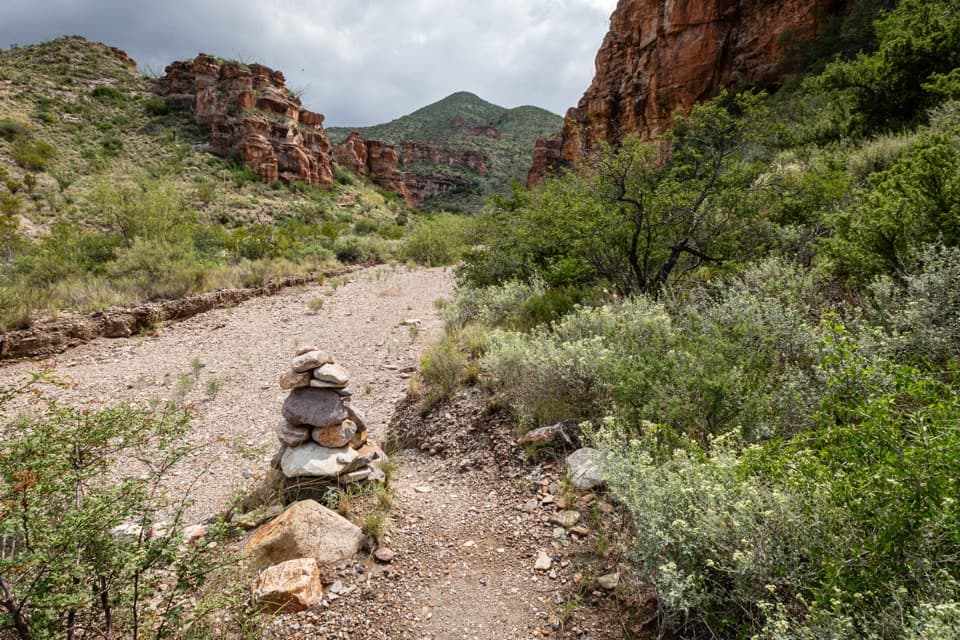 ChallengingBlue Creek Trail5.8 mi · 4 hr · 1 mi awayA red-rock wash walk with a hard climb into the Chisos.
 EasyHomer Wilson Ranch Trail0.7 mi · 30 min · 1 mi awayA steep descent to the ranch line camp below the overlook.
 ChallengingSmoky Creek Trail16.3 mi · 10 hr · 1.2 mi awayA long, rough wash walk ending at the Mule Ears overlook.
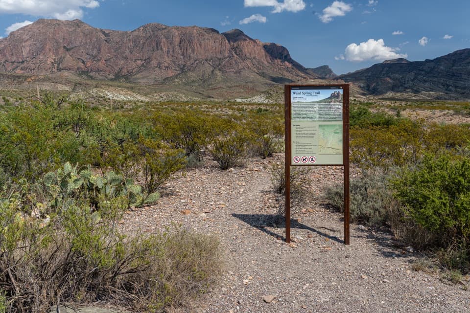 ModerateWard Spring Trail2.9 mi · 2 hr · 1.4 mi awayA rocky walk to a spring beneath a wall of volcanic rock.
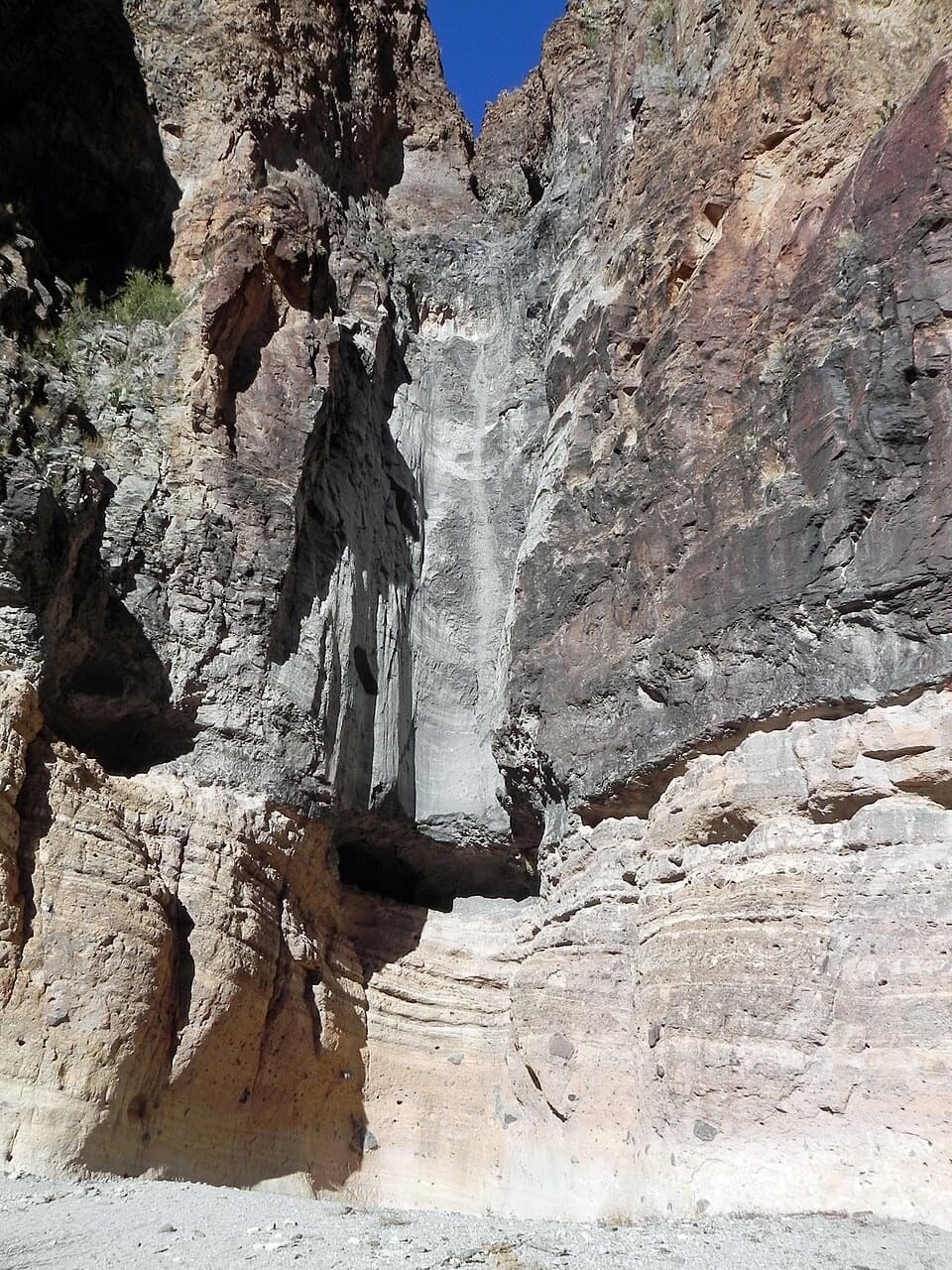 EasyLower Burro Mesa Pouroff Trail1 mi · 30 min · 1.8 mi awayA short wash walk to a 100-foot rock chute.
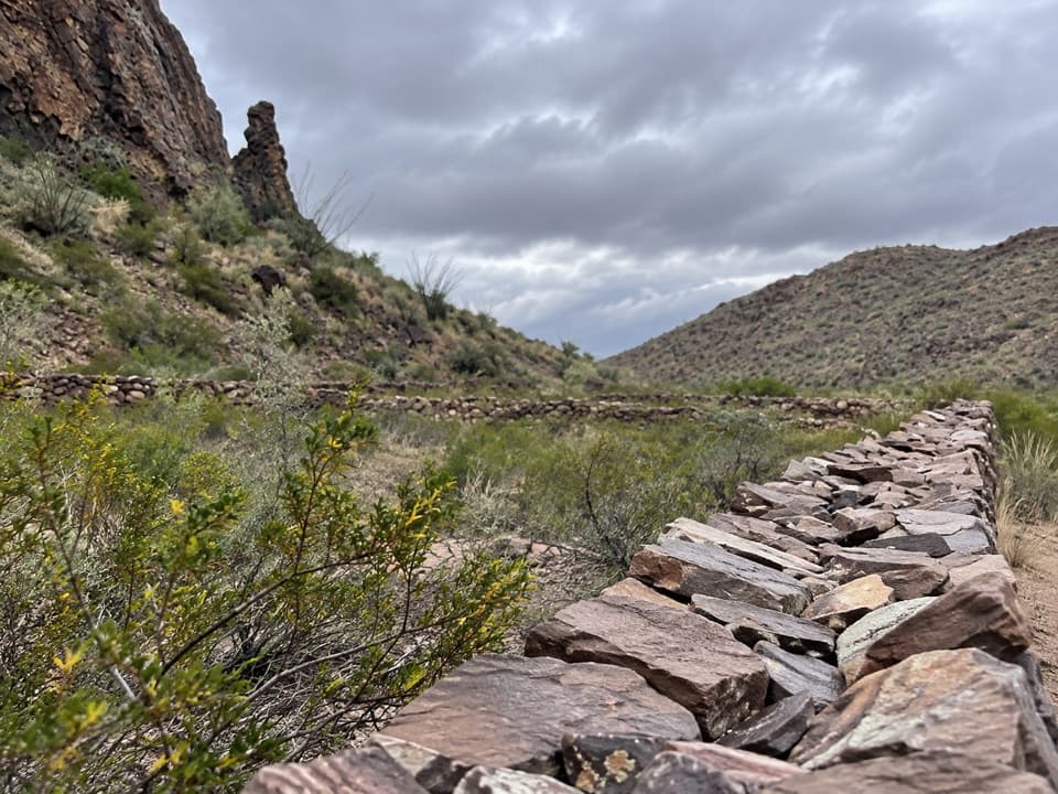 ChallengingApache Canyon Trail to Rock Corral7.2 mi · 4.5 hr · 2.3 mi awayA cairned desert hike ends at Sam Nail's stone corral.
 EasyBurro Spring Trail2.4 mi · 1.5 hr · 2.4 mi awayA rocky desert walk to a spring overlook above a green pocket.
 ModerateChimneys Trail4.8 mi · 2.5 hr · 3.2 mi awayDesert spires and ancient rock art cap this exposed 4.8-mile walk.
 Sight · 1 mi awaySotol VistaA west-side panorama with Santa Elena Canyon as a distant gap.
 Sight · 1.2 mi awayHomer Wilson RanchA short hike turns a scenic-drive pullout into a ranch-history stop.Sight · 1.5 mi awayLower Burro Mesa PouroffA short wash hike ends beneath a 100-foot rock pouroff.
 Scenic pullout · 2.7 mi awayFins of FireStone walls from ancient magma, right beside the scenic drive.
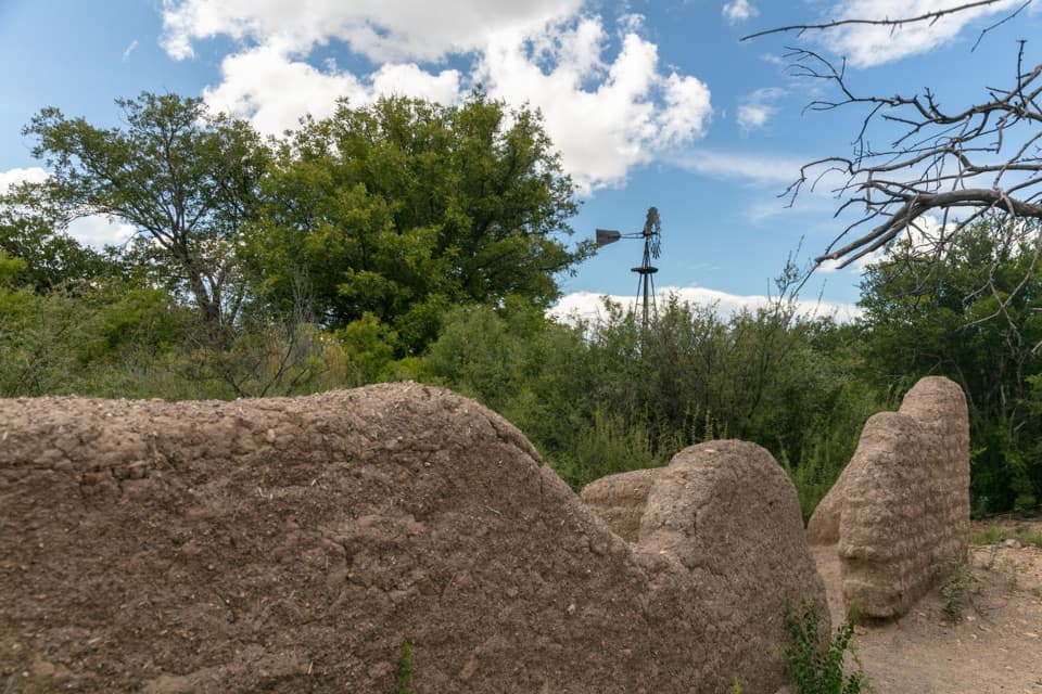 Sight · 3.5 mi awaySam Nail RanchA half-mile loop to adobe ruins and a shaded creek oasis.
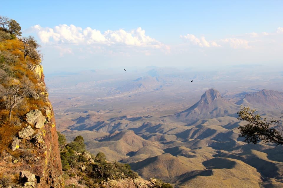 Sight · 4.5 mi awaySouth Rim ViewpointA hard, full day of hiking earns the high rim panorama.
 Sight · 4.5 mi awayEmory PeakA 10.5-mile round trip earns a 360-degree summit panorama.
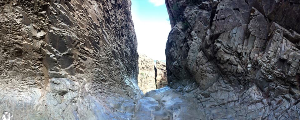 Sight · 4.6 mi awayThe WindowA long hike to a 200-foot pour-off framing the desert.
Parkwolf’s Big Bend ranking
The audio tour guide for the drive, plus offline maps, trails, and wildlife heatmaps for when the signal drops.