Parking
Start and finish at Chisos Basin Trailhead on Chisos Basin Road, the access used by the common clockwise itinerary. Parking capacity has not been verified.

Big Bend National Park, TX
Three days from Chisos woodland to exposed desert, with no reliable water.
Overview
Map & elevation
Plan your hike

The highest, rockiest slopes around here are a summer buffet for grizzly bears.
Big Bend Tour Guide
Parkwolf is a GPS audio tour guide for Big Bend National Park. As you drive, it chimes in with what’s ahead: hidden gems, upcoming stops, history, geology, and wildlife, right through your car’s speakers.
See the Big Bend audio tourRecorded for this trailhead
Chisos Basin and Window View“You're coming up on Chisos Basin, a mountain-ringed bowl with a gap called the Window opening toward the desert.”
Plays as you drive up to this trailhead in the Parkwolf Big Bend Tour Guide.
More stories near here in the app
“Fantastic app with many points of information… It’s great to just turn on while you’re driving and it gives you an audio tour of the national Park. We love it!!!!”


Trail guide
The Outer Mountain Loop is the National Park Service’s roughly 30-mile clockwise backpacking circuit from Chisos Basin and back. It climbs Pinnacles, crosses Boot Canyon, drops Juniper Canyon to Dodson, then climbs Blue Creek and returns through Laguna Meadows. Plan on at least three days. The payoff is a full change of country: high Chisos woodland, open desert and long views back toward the mountains. Keep the South Rim and Emory Peak excursions separate; together they add about five miles to the standard loop.
Overnight camping requires a backcountry permit. The park recommends at least one gallon of water per person per day and says not to depend on springs: Boot Spring, Upper Juniper Spring and Dodson Spring are usually dry. Water caches are allowed only at Homer Wilson (Blue Creek) Ranch and at the end of Juniper Canyon Road; reaching the latter cache requires a high-clearance vehicle. Leave water only, mark the cache with your name and pickup date, and pack out the bottles.
This is a poor summer choice. The unshaded Dodson is brutally hot from May through September, and the park warns that carrying enough water may be physically impossible from early May through early October. Treat the cache plan as part of the route, not a backup if a spring happens to be dry.
From Chisos Basin, Pinnacles climbs about 1,600 feet in 3.5 miles toward Toll Mountain Pass, at roughly 7,000 feet. Boot Canyon carries the route through the high country; Boot Spring is usually dry, and the Juniper Canyon junction comes about another mile beyond it. Take the Juniper fork. The trail soon leaves the shade and drops steeply about 3,000 feet over 6.2 miles, opening into desert grassland. Upper Juniper Spring is usually dry too.
Dodson is the long, exposed desert crossing, with no shade and repeated rocky climbs and descents between washes. The park describes about 2,000 feet of cumulative climbing and descending. Cairns mark the line; at the Smoky Creek wash junction, check the turn carefully because it’s easy to continue down the wrong drainage. The old Dodson Ranch ruins and usually dry Dodson Spring are landmarks. Fresno Creek, farther along, may hold water, but treat anything collected there.
The route passes Homer Wilson Ranch, where the road is about a quarter mile away and the permitted water cache is placed. After collecting it, the park advises walking at least half a mile up Blue Creek before camping, out of sight of the road. Blue Creek then climbs steadily about 2,500 feet over 5.5 miles. It crosses sandy washes, reaches eroded red rock and eventually enters a small pinyon-oak woodland. It’s a substantial climb after the desert miles.
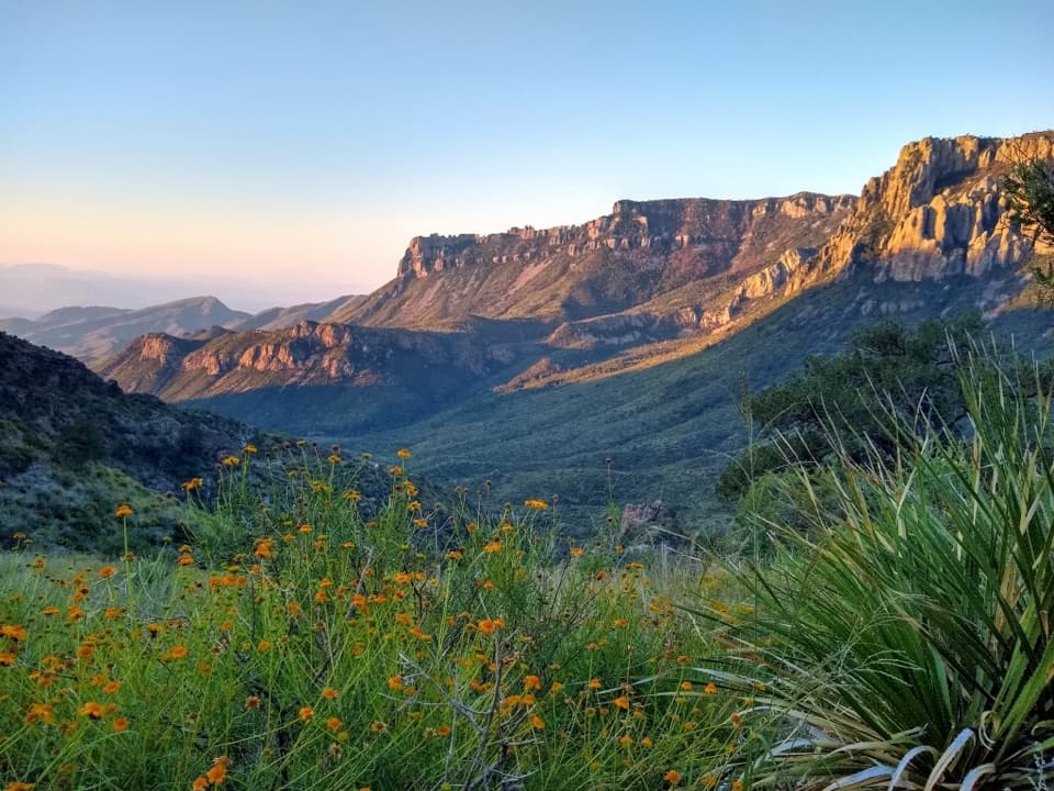
Laguna Meadows skirts Emory Peak’s western flank. About a mile in, its high point looks down on the Basin, with the Lodge rooftops visible; from there the trail descends gradually about 3.5 miles to the start. On Dodson, a photo that keeps the zigzagging tread in frame with the basin and mesas beyond shows how far the trail crosses open country.
The loop crosses Chisos woodland and Chihuahuan Desert. Pinyon, juniper and oak mark the high country; the lower sections run through desert grassland and broad washes, while Boot Canyon can hold seasonal rain pools. The two ranch sites, Dodson and Homer Wilson, are reminders of earlier use of this corridor, but the route’s real story is the sharp shift from mountain woodland to open desert and back.
Wildlife
 377 sightingsBlack BearMost seen around 7 PMSighting map
 329 sightingsCollared PeccaryMost seen around 7 PMSighting map
 500 sightingsWhite-tailed DeerMost seen around 7 PMSighting map
 985 sightingsRoadrunnerMost seen around 8 AMSighting map
 228 sightingsRavenMost seen around 5 PMSighting map
 264 sightingsTurkey VultureMost seen around noonSighting map
Sighting maps show where each species has been reported across Big Bend. Wildlife moves, so no sighting is guaranteed.
Keep exploring
 ChallengingEmory Peak Trail10.5 mi · 7 hr · At the trailheadA full-day climb to Big Bend’s highest summit and wide-open views.
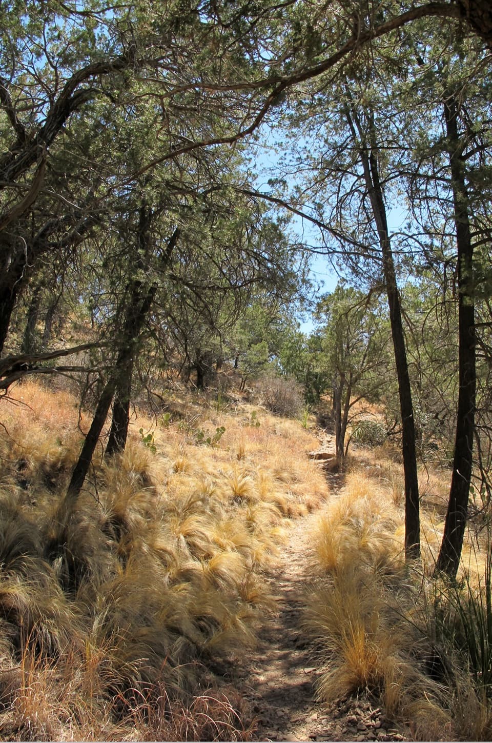 ModerateChisos Basin Loop Trail2 mi · 1 hr · At the trailheadA shaded Basin loop with Window views and pine forest.
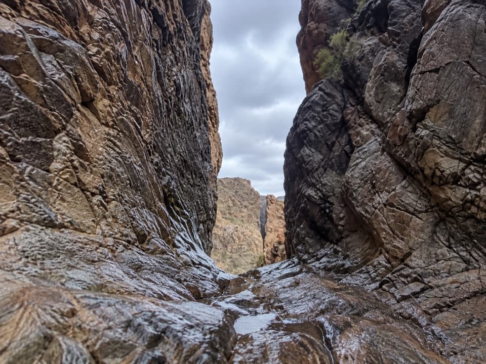 ModerateThe Window Trail5.5 mi · 3.5 hr · At the trailheadA 5.5-mile canyon hike with a tough climb back to the Basin.
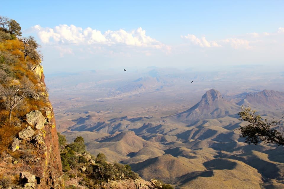 ChallengingSouth Rim Trail12.5 mi · 6.5 hr · At the trailheadA hard climb to the rim, back through Boot Canyon and Pinnacles.
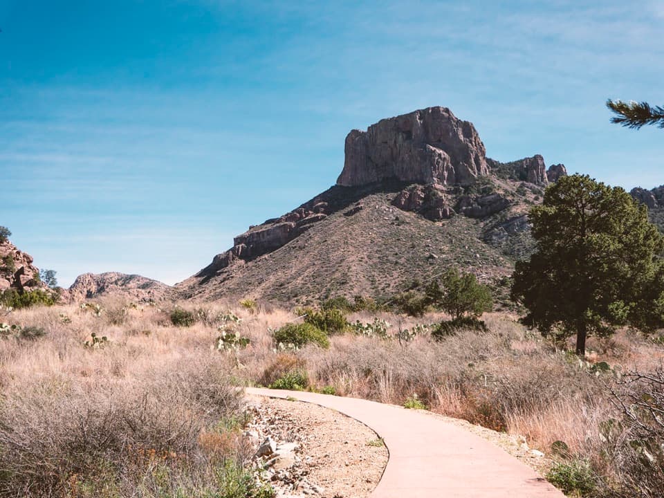 EasyWindow View Trail0.3 mi · 30 min · At the trailheadA paved Basin loop with a clear view through the Window.
 ChallengingEntire Rim Loop13.6 mi · 9 hr · At the trailheadBoth Chisos rims and Boot Canyon in a full-day loop.
 ChallengingPinnacles Trail7 mi · 4.5 hr · At the trailheadA steep, shaded climb to a high pass above the Basin.
 ModerateLaguna Meadow Trail7.4 mi · 4.5 hr · At the trailheadA steady climb into meadow country with views back to the Basin
 Store · 0.1 mi awayChisos Basin StoreCold drinks and camp basics, without a detour from the Basin.
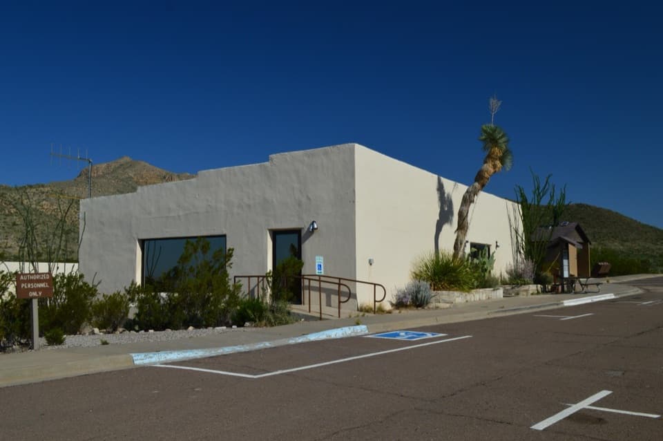 Visitor center · 0.1 mi awayChisos Basin Visitor CenterA quick Chisos wildlife primer before you head for the Basin trails.
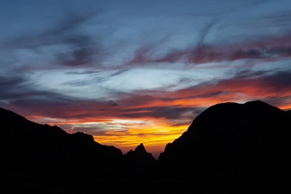 Sight · 0.1 mi awayWindow ViewA short, paved loop for sunset through the Window.
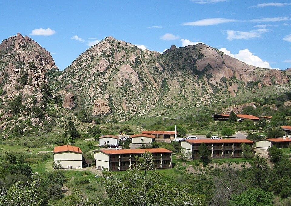 Lodging · 0.1 mi awayChisos Mountains LodgeStay at the park's only lodge, high in Chisos Basin.
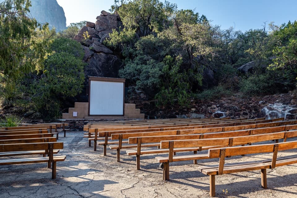 Sight · 0.3 mi awayChisos Basin AmphitheaterRanger talks bring local stories to a stone stage outdoors.
 Campground · 0.4 mi awayChisos Basin CampgroundHigh-country camping for hikers; road and site size favor smaller rigs.
 Scenic pullout · 1.4 mi awayTree Zone ExhibitStand under an oak where desert plants meet mountain woodland.Sight · 1.7 mi awayEmory PeakA 10.5-mile round trip earns a 360-degree summit panorama.
Parkwolf’s Big Bend ranking

The audio tour guide for the drive, plus offline maps, trails, and wildlife heatmaps for when the signal drops.