
Place · 0.2 mi away
Easy
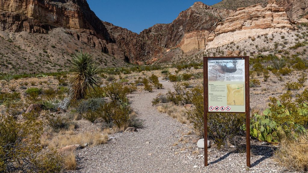
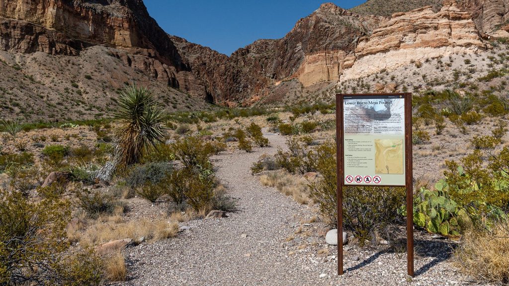
This is Big Bend’s quick-hit geology lesson. The Lower Burro Mesa Pouroff Trail is an easy, 1.0-mile round-trip out-and-back that follows a gravelly desert wash into a narrowing canyon and dead-ends at a towering pouroff—an often-dry 100-foot waterfall chute sculpted by rare but violent floods. Expect minimal elevation gain (roughly 120 feet total) and mostly gentle grades.
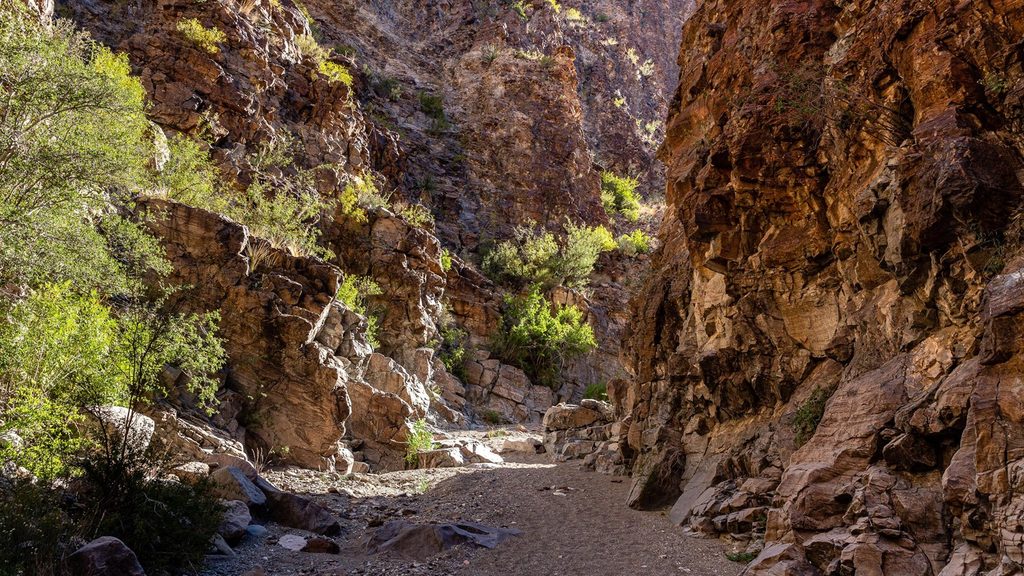
You’ll start in open desert vegetation before dropping into the wash, where the plant community subtly shifts thanks to slightly higher moisture in the drainage. As you head upstream, volcanic rock walls rise and close in, bringing shade, echoey acoustics, and a sense of seclusion. The end is a photogenic amphitheater beneath the sheer pouroff—striking layers, rounded flood-scoured stones, and a natural “stage” that makes an easy, rewarding turnaround point.
Underfoot is primarily loose gravel and sand with occasional stone steps or small boulders near the end. It’s easy overall, but sand over rock can be slick—watch your footing, especially on the way out. The route is obvious in dry conditions, though one junction in the wash can feel ambiguous on the return; staying left as you head back has helped some hikers avoid a wrong turn.
October through April is prime for cooler temps and softer light in the canyon. In warmer months, start early to capitalize on shade as the walls rise. Do not hike during rain or when storms are forecast, even if distant—the wash is flash-flood terrain, and water can surge with little warning.
Wear grippy shoes for the sandy, pebbly wash and the polished rock near the pouroff. This is an out-and-back that ends at a cliff—no loop and no safe bypass—so plan to return the same way. If you want a complementary perspective and a longer outing, the separate Upper Burro Mesa Pour-Off hike offers a top-down view into the same drainage.
Absolutely—especially if you’re exploring the Ross Maxwell Scenic Drive and want a short, high-reward stop. The canyon’s shade, scale, and geology pack a lot into a bite-size walk that’s friendly to most ages and abilities, provided you time it for dry weather.
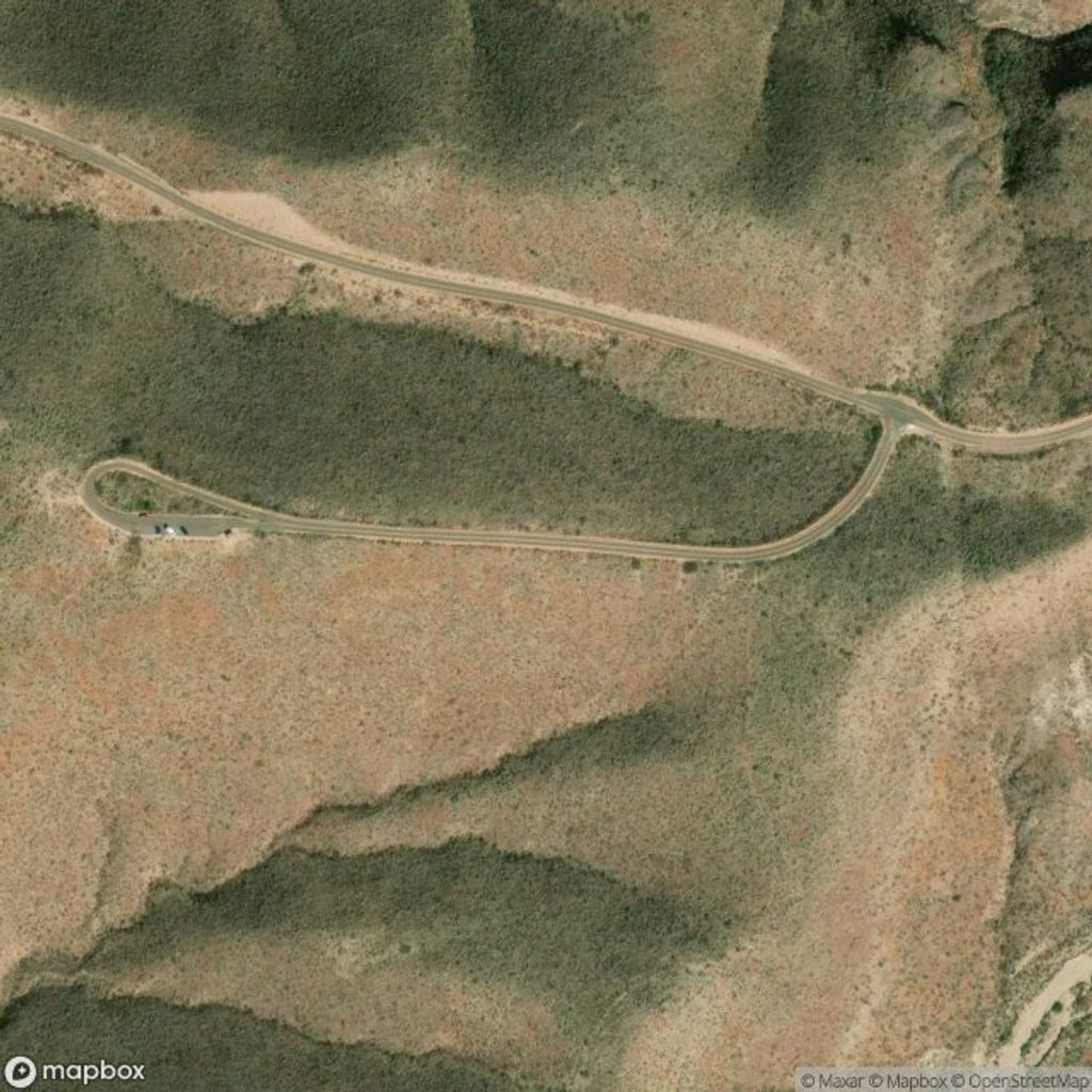
Park at the signed trailhead on Burro Mesa Spur Road, a short side road off the Ross Maxwell Scenic Drive.
This is flash-flood terrain—do not enter the wash if rain is forecast. Sand on rock can be slick; watch footing near the pouroff. One wash junction can be confusing on the return—stay attentive to your path.
Place · 0.2 mi away
Place · 2.4 mi away
Place · 2.8 mi away
Place · 2.8 mi away
Easy · 0.7 mi away
Moderate · 1.8 mi away
Moderate · 2.2 mi away
Easy · 2.3 mi away

Parkwolf Tour Guide
