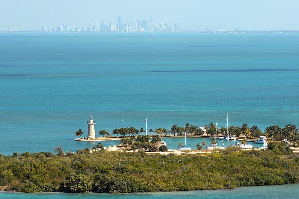
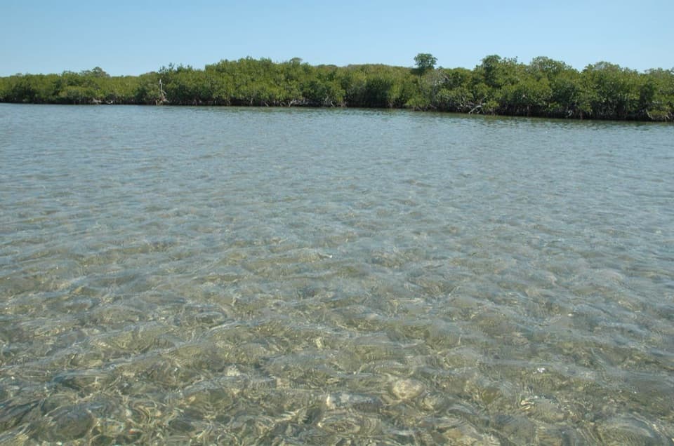
Elliott Key in Biscayne National Park

#7 of 27 sights in Biscayne

Sight · Biscayne National Park

Elliott Key

A boat-only island with a shaded trail between bay and ocean.

Photo: National Park Service
Type
Sight
Nearest trail
0.2 mi
  • Campground
  • Trailhead
  • Restrooms
  • Picnic tables
Parkwolf audio tour19 stories across Biscayne’s roads

Overview

About Elliott Key

Why stop

  • A shaded loop links the campground to an Atlantic-facing boardwalk.
  • Pioneer farming and the Spite Highway story are part of the walk.

Heads up

  • You need a boat; there is no ferry or food service.
  • Mosquitoes and no-see-ums are prevalent year-round.

Map

Where it is

Loading the Biscayne map
Full map
SightElliott Key25.45317, -80.19644
Keep this map with you offline in the Parkwolf app

Plan your stop

Before you go

1 active Biscayne alert

  • CautionBoater caution: navigational markers may be missing or movedUse caution while navigating park waters: navigational markers may be missing or moved due to unforeseen circumstances. Check current park alerts before boating.Official details
Biscayne alerts
A park ranger sits on a dash-mounted phone, talking, as Parkwolf’s Tour Guide plays “Army Cutworm Moths: A Grizzly Bear Buffet” on Grand Loop Road below Dunraven Pass in Yellowstone
Parkwolf Tour GuideThe highest, rockiest slopes around here are a summer buffet for grizzly bears.

Biscayne Tour Guide

Your drive to Elliott Key, narrated.

Parkwolf is a GPS audio tour guide for Biscayne National Park. As you drive, it chimes in with what’s ahead: hidden gems, upcoming stops, history, geology, and wildlife, right through your car’s speakers.

  • 19 audio storiesacross Biscayne’s roads, triggered by GPS as you drive
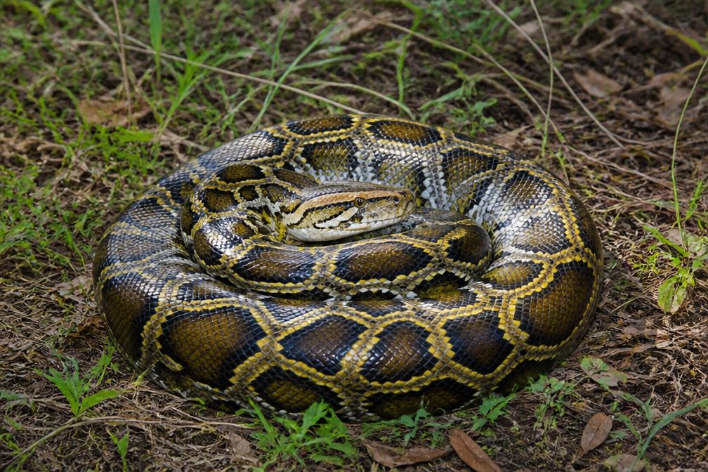
  • Wildlife heatmapsfor West Indian Manatee, American Crocodile, Burmese Python, and 13 more
  • Works offlinemaps, 9 trails, 31 places, and audio download before you lose signal
  • CarPlay readysimple controls built for the drive
★★★★★
“Fantastic app with many points of information… It’s great to just turn on while you’re driving and it gives you an audio tour of the national Park. We love it!!!!”
JMJamesApp Store review
Download Parkwolf on the App StoreGet Parkwolf on Google Play

4.7 from 8,600+ ratings

Guide

More about Elliott Key

A boat trip, not a drive-up stopElliott Key is Biscayne National Park’s largest island, a narrow strip of hardwood hammock and…

Elliott Key is Biscayne National Park’s largest island, a narrow strip of hardwood hammock and mangrove shore between Biscayne Bay and the Atlantic. It is about seven miles long and only 2,500 feet across at its widest. Come for a boat-access day, a night at the campground, or a walk through the island’s history. There is no ferry, so arrange your boat transport before you go.

Start at the harbor preparedThe north-end harbor has 33 boat slips, but water depth falls to about 2½ feet at low tide;…

The north-end harbor has 33 boat slips, but water depth falls to about 2½ feet at low tide; check your draft before heading in. Swimming is not allowed inside boat harbors. In the developed campground and marina area you’ll find picnic tables, barbecue grills, restrooms with sinks, cold-water showers and drinking water. There are no sales facilities, so bring food and backup water, and pack out your trash. Leashed pets are limited to developed areas and cannot be left unattended or taken into buildings.

Walk the shaded loopThe roughly one-mile loop starts near the campground and harbor, passes through tropical…

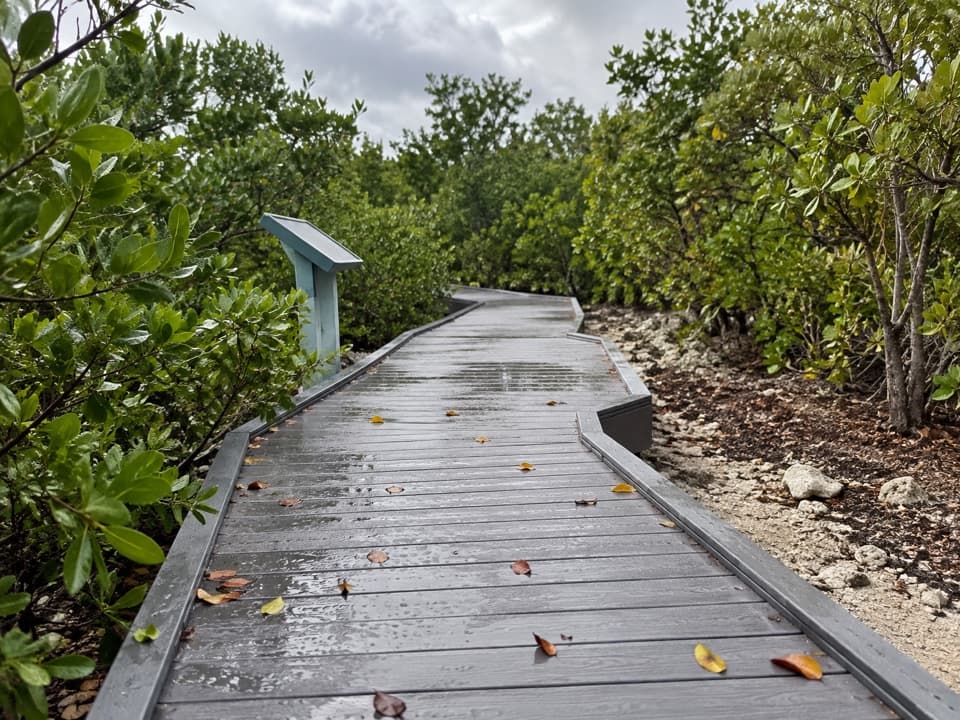
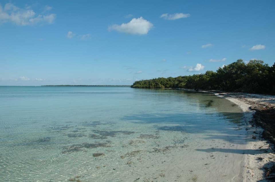
The roughly one-mile loop starts near the campground and harbor, passes through tropical hardwood hammock and beside mangroves, then reaches an Atlantic-facing boardwalk at Point Adelle before returning through the developed area. Trails can be overgrown in places. For a longer walk, Spite Highway runs down the key, with routes to Atlantic-facing shore and Biscayne Bay viewpoints. Those coastal outlooks take a real hike; the short loop is the easy way to sample the island.

Two coasts, a thin strip of landThe island separates sheltered bay water from the open Atlantic.

The island separates sheltered bay water from the open Atlantic. The harbor and campground sit on the Biscayne Bay side; the Point Adelle boardwalk looks east across the ocean. Mangrove shoreline and shaded hardwood hammock make the mile between them feel more like a walk through a small forest than a beach stroll. For a clear Atlantic view, continue to the boardwalk rather than stopping at the harbor.

Pineapples, sponges, and Spite HighwayElliott Key once held a pioneer community whose residents farmed pineapples, worked as spongers…

Elliott Key once held a pioneer community whose residents farmed pineapples, worked as spongers and salvaged shipwrecks. In the 1960s, developers cut a six-lane-wide, seven-mile swath through the key in an attempt to damage the land before protection. It became known as Spite Highway. After Biscayne National Monument was established in 1968, tropical hardwoods grew over the cut, turning it into a tunnel-like hiking corridor through the forest.

Bring protection from biting insectsMosquitoes and no-see-ums are prevalent year-round, and can be especially troublesome in warm,…

Mosquitoes and no-see-ums are prevalent year-round, and can be especially troublesome in warm, sheltered areas. Carry repellent, water and everything you need for the day; supplies and trash collection are not available on the island.

Wildlife

Wildlife in Biscayne

All Biscayne wildlife maps

Sighting maps show where each species has been reported across Biscayne. Wildlife moves, so no sighting is guaranteed.

Parkwolf’s Biscayne ranking

Top sights in Biscayne

All 31 places
  1. 1Boca Chita KeySight
  2. 2Mandalay WreckSight
  3. 3Jones LagoonSight
  4. 4StiltsvilleSight
  5. 5Fowey Rocks LighthouseSight
  6. 6Bache ShoalSight

Take Parkwolf to Biscayne.

The audio tour guide for the drive, plus offline maps, trails, and wildlife heatmaps for when the signal drops.

4.7 from 8,600+ ratings

Download Parkwolf on the App StoreGet Parkwolf on Google Play