Adams Key Loop Trail in Biscayne National Park

#6 of 9 trails in Biscayne

Biscayne National Park, FL

Adams Key Loop Trail

A shaded island loop through a former presidential retreat.

Length
1mi
Time
30min
Elevation
Flat
Difficulty
Easy
  • Loop
  • High point 3 ft
Parkwolf audio tour19 stories across Biscayne’s roads

Overview

About Adams Key Loop Trail

Why go

  • Shaded walk through hardwood hammock
  • Island setting tied to Cocolobo Club history

Heads up

  • Boat landing and separate mainland launch planning are required
  • Published and mapped loop distances conflict

Map & elevation

The route

Loading the Biscayne map
Full map
Elevation0–3 ft
TrailheadAdams Key dock / south-side trail sign25.39709, -80.23403
Keep this map with you offline in the Parkwolf app

Plan your hike

Before you go

Parking

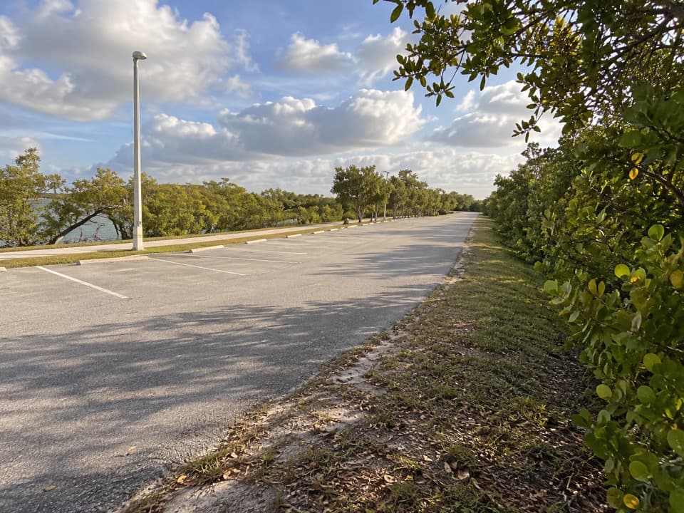
There is no car parking on Adams Key. Travel from an authorized mainland boat launch to the Adams Key dock and south-side trail sign in a boat that can land ashore. Confirm current launch and landing arrangements with the park; no ferry serves the island.

Safety

Boat access only; there is no island ferry. Drinking-water service and the pet rule for Adams Key were not confirmed, so check with the park and bring drinking water.

1 active Biscayne alert

  • CautionBoater caution: navigational markers may be missing or movedUse caution while navigating park waters: navigational markers may be missing or moved due to unforeseen circumstances. Check current park alerts before boating.Official details
Biscayne alerts
A park ranger sits on a dash-mounted phone, talking, as Parkwolf’s Tour Guide plays “Army Cutworm Moths: A Grizzly Bear Buffet” on Grand Loop Road below Dunraven Pass in Yellowstone
Parkwolf Tour GuideThe highest, rockiest slopes around here are a summer buffet for grizzly bears.

Biscayne Tour Guide

Your drive to Adams Key Loop Trail, narrated.

Parkwolf is a GPS audio tour guide for Biscayne National Park. As you drive, it chimes in with what’s ahead: hidden gems, upcoming stops, history, geology, and wildlife, right through your car’s speakers.

  • 19 audio storiesacross Biscayne’s roads, triggered by GPS as you drive
  • Wildlife heatmapsfor West Indian Manatee, American Crocodile, Burmese Python, and 13 more
  • Works offlinemaps, 9 trails, 31 places, and audio download before you lose signal
  • CarPlay readysimple controls built for the drive
★★★★★
“Fantastic app with many points of information… It’s great to just turn on while you’re driving and it gives you an audio tour of the national Park. We love it!!!!”
JMJamesApp Store review
Download Parkwolf on the App StoreGet Parkwolf on Google Play

4.7 from 8,600+ ratings

Trail guide

Hiking Adams Key Loop Trail

The loopAdams Key Loop Trail is a nearly one-mile circuit through the island’s hardwood hammock,…

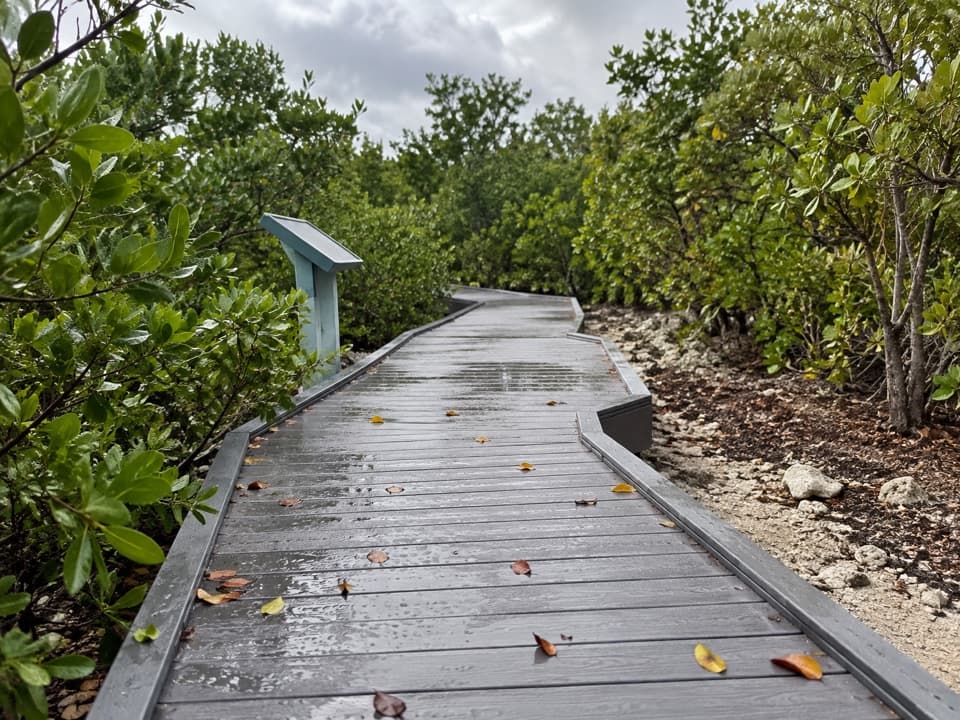
Adams Key Loop Trail is a nearly one-mile circuit through the island’s hardwood hammock, starting near the south-side dock and trail sign. The mapped line closes back at its start; the dirt-and-grass path stays beneath trees and is an easy walk with little elevation change. Allow about 30 minutes on foot, apart from the boat trip. Distance descriptions conflict: a trail sign and written account call it a half-mile, while the complete mapped circuit measures about 0.96 mile. This entry follows the full named loop; check the signs at the dock if you expect the shorter segment.

Boat access and suppliesAdams Key is reached by water, and there is no ferry to the island.

Adams Key is reached by water, and there is no ferry to the island. Arrive in a boat that can land at the island dock, and confirm current launch and landing arrangements before setting out. The island day-use area has a picnic pavilion and toilets. Food service and drinking water were not confirmed, so bring what you need. The pet rule for Adams Key is also unconfirmed; check with the park before bringing a pet.

Cocolobo historyAdams Key was once home to the Cocolobo Club, a retreat associated with developer Carl Fisher…

Adams Key was once home to the Cocolobo Club, a retreat associated with developer Carl Fisher and Presidents Warren Harding, Herbert Hoover, Lyndon B. Johnson and Richard Nixon. The walk itself is through hammock; available accounts do not establish that club buildings or remains stand along the trail.

Footing and settingThe route is described as smooth dirt with some grass and remains in the wooded interior rather…

The route is described as smooth dirt with some grass and remains in the wooded interior rather than following the shore. One account notes that wheels can sink into the dirt, so the easy grade should not be taken as an accessibility guarantee. Water views are not reported from the trail. Mosquitoes are mentioned in a visitor account and a trip description; consider repellent if you are prone to bites.

Wildlife

Wildlife in Biscayne

All Biscayne wildlife maps

Sighting maps show where each species has been reported across Biscayne. Wildlife moves, so no sighting is guaranteed.

Keep exploring

Near Adams Key Loop Trail

See it all on the map

Trails that start nearby

Places near the trailhead

Parkwolf’s Biscayne ranking

Top-rated trails in Biscayne

All 9 trails
  1. 1Convoy Point Jetty WalkEasy · 0.8 mi
  2. 2Boca Chita TrailEasy · 0.7 mi
  3. 3Elliott Key Nature TrailEasy · 1 mi
  4. 4Black Point Jetty TrailEasy · 1.7 mi
  5. 5Spite Highway TrailModerate · 15.8 mi
  6. 7Biscayne-Everglades GreenwayEasy · 1.8 mi

Take Parkwolf to Biscayne.

The audio tour guide for the drive, plus offline maps, trails, and wildlife heatmaps for when the signal drops.

4.7 from 8,600+ ratings

Download Parkwolf on the App StoreGet Parkwolf on Google Play