Elliott Key Nature Trail in Biscayne National Park

#3 of 9 trails in Biscayne

Biscayne National Park, FL

Elliott Key Nature Trail

A short island walk from hammock shade to Atlantic boardwalk

Length
1mi
Time
45min
Elevation
Flat
Difficulty
Easy
  • Dogs allowed
  • High point 5 ft
Parkwolf audio tour19 stories across Biscayne’s roads

Overview

About Elliott Key Nature Trail

Why go

  • A quiet boardwalk reaches the Atlantic through mangroves
  • A short, flat walk with distinct hammock and shore habitats

Heads up

  • Boat-only access, with no ferry service
  • Mosquitoes and no-see-ums are present year-round

Map & elevation

The route

Loading the Biscayne map
Full map
Elevation1–5 ft
TrailheadElliott Key Campground, ranger-station-side trailhead25.45511, -80.19542
Keep this map with you offline in the Parkwolf app

Plan your hike

Before you go

Parking

Elliott Key is boat-access only; Biscayne has no ferry service to the islands. Land at the harbor/campground and start by the ranger-station side. The trail ends near picnic tables on the opposite side of the harbor, so allow a short walk back to your boat.

Safety

Mosquitoes and no-see-ums are prevalent year-round. Drinking water depends on a generator and can be interrupted; carry backup water. The rough stretch beyond the boardwalk can make the route hard to pick up.

1 active Biscayne alert

  • CautionBoater caution: navigational markers may be missing or movedUse caution while navigating park waters: navigational markers may be missing or moved due to unforeseen circumstances. Check current park alerts before boating.Official details
Biscayne alerts
A park ranger sits on a dash-mounted phone, talking, as Parkwolf’s Tour Guide plays “Army Cutworm Moths: A Grizzly Bear Buffet” on Grand Loop Road below Dunraven Pass in Yellowstone
Parkwolf Tour GuideThe highest, rockiest slopes around here are a summer buffet for grizzly bears.

Biscayne Tour Guide

Your drive to Elliott Key Nature Trail, narrated.

Parkwolf is a GPS audio tour guide for Biscayne National Park. As you drive, it chimes in with what’s ahead: hidden gems, upcoming stops, history, geology, and wildlife, right through your car’s speakers.

  • 19 audio storiesacross Biscayne’s roads, triggered by GPS as you drive
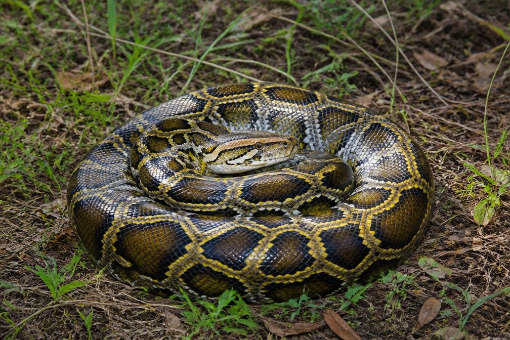
  • Wildlife heatmapsfor West Indian Manatee, American Crocodile, Burmese Python, and 13 more
  • Works offlinemaps, 9 trails, 31 places, and audio download before you lose signal
  • CarPlay readysimple controls built for the drive
★★★★★
“Fantastic app with many points of information… It’s great to just turn on while you’re driving and it gives you an audio tour of the national Park. We love it!!!!”
JMJamesApp Store review
Download Parkwolf on the App StoreGet Parkwolf on Google Play

4.7 from 8,600+ ratings

Trail guide

Hiking Elliott Key Nature Trail

A short Atlantic-side walkElliott Key Nature Trail is a roughly one-mile U-shaped walk across the island’s campground…

Elliott Key Nature Trail is a roughly one-mile U-shaped walk across the island’s campground area to its Atlantic shore and back to the opposite side of the harbor. It’s an easy, nearly level way to trade boat time for a walk through hardwood hammock, mangroves and a boardwalk at Point Adelle. Allow 30 to 45 minutes for the trail, then a little more to get back around the harbor to your boat; the two trail ends sit on different sides of it. If you’re already visiting Elliott Key, this short route gives you more variety than a walk around the campground alone.

Through the hammockThe inland path is mostly dirt and sand under a shaded canopy.

The inland path is mostly dirt and sand under a shaded canopy. It threads through tropical hardwood hammock, skirts mangroves near the bay side, then crosses an open cut through the middle of the key. The ground stays flat, but the shade can bring mosquitoes and no-see-ums at any time of year. A short section at the far end of the boardwalk is rough and can make the trail seem to disappear; keep going straight through it to find the continuation.

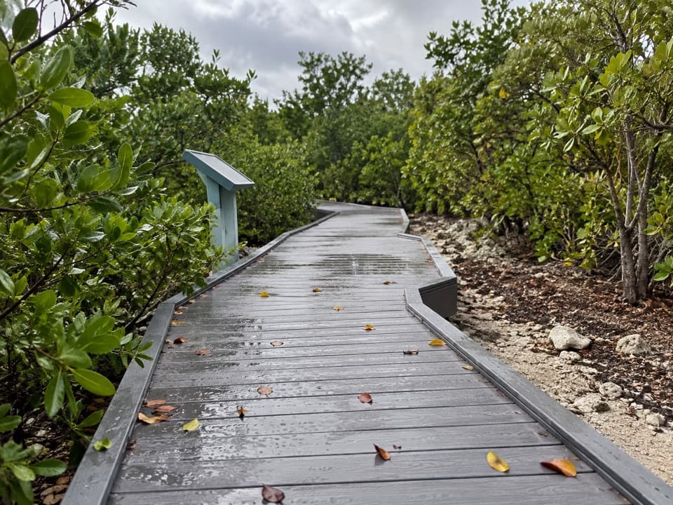
Point Adelle and the ocean sideAt Point Adelle, the route reaches the Atlantic and follows a boardwalk along the shore.

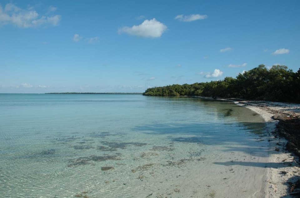
At Point Adelle, the route reaches the Atlantic and follows a boardwalk along the shore. Interpretive panels explain the island’s natural history. The view opens between mangroves to shallow water and a low, rocky shoreline, rather than a broad sandy beach. For a photo, use the boardwalk’s bends as leading lines through the mangroves; the panel gives the scene a sense of scale when it’s in the frame.

The old clearingThe open cut you cross is part of Spite Highway, a reminder of the fight over this island.

The open cut you cross is part of Spite Highway, a reminder of the fight over this island. In 1961, developers who wanted to build a community called Islandia cut a six-lane swath across Elliott Key to oppose the proposed park. The road never became the development route they wanted. Congress established Biscayne National Monument in 1968, and the cleared strip is now a hiking corridor through the forest.

Birds along the routeThe hammock and mangrove edge are different bird habitats.

The hammock and mangrove edge are different bird habitats. Red-shouldered hawks and warblers may show up in the wooded stretch, while brown pelicans pass the oceanside boardwalk. None are guaranteed, but the hammock and open shore give you two different places to look.

Make the boat trip workElliott Key is boat-access only, and there’s no ferry service to the islands.

Elliott Key is boat-access only, and there’s no ferry service to the islands. Start by the ranger-station side of the harbor and finish near the picnic tables on the other side. The campground and marina have restrooms, cold-water showers, picnic tables, grills and drinking water, but the water supply depends on a generator. There are no sales facilities on the key, so bring what you’ll need. Pets are allowed on Elliott Key and must stay on a leash no longer than six feet.

Wildlife

Wildlife in Biscayne

All Biscayne wildlife maps

Sighting maps show where each species has been reported across Biscayne. Wildlife moves, so no sighting is guaranteed.

Keep exploring

Near Elliott Key Nature Trail

See it all on the map

Trails that start nearby

Places near the trailhead

Parkwolf’s Biscayne ranking

Top-rated trails in Biscayne

All 9 trails
  1. 1Convoy Point Jetty WalkEasy · 0.8 mi
  2. 2Boca Chita TrailEasy · 0.7 mi
  3. 4Black Point Jetty TrailEasy · 1.7 mi
  4. 5Spite Highway TrailModerate · 15.8 mi
  5. 6Adams Key Loop TrailEasy · 1 mi
  6. 7Biscayne-Everglades GreenwayEasy · 1.8 mi

Take Parkwolf to Biscayne.

The audio tour guide for the drive, plus offline maps, trails, and wildlife heatmaps for when the signal drops.

4.7 from 8,600+ ratings

Download Parkwolf on the App StoreGet Parkwolf on Google Play