Parking
There is no road access or car parking on Elliott Key. Arrive by boat or paddle; there is no ferry. From the harbor, follow Elliott Key Loop about 0.2 mile to the Spite Highway junction near the campground. The harbor has 33 boat slips.

#5 of 9 trails in Biscayne
Biscayne National Park, FL
A bulldozed highway cut now shelters a tunnel of tropical forest.
Overview
Map & elevation
Plan your hike

The highest, rockiest slopes around here are a summer buffet for grizzly bears.
Biscayne Tour Guide
Parkwolf is a GPS audio tour guide for Biscayne National Park. As you drive, it chimes in with what’s ahead: hidden gems, upcoming stops, history, geology, and wildlife, right through your car’s speakers.
“Fantastic app with many points of information… It’s great to just turn on while you’re driving and it gives you an audio tour of the national Park. We love it!!!!”


Trail guide
Spite Highway Trail follows a long north–south cut through the middle of Elliott Key. To cover both arms from the central junction, walk north to its beach and return, then take the south arm past its coastal viewpoints to the forest endpoint and return. The full mapped itinerary is about 15.8 miles and takes roughly 7–8 hours; that figure covers both arms but not the roughly 0.4-mile approach from the harbor on Elliott Key Loop. Published distances differ at the endpoints: the park describes the cut as about six miles down the island, while trail descriptions range around seven. Treat the full total as an estimate. Most day visitors should choose one arm: the north beach is about 4.8–6 miles round trip, and the southern viewpoints make a roughly 6-mile outing.
The route is mostly level and smooth, with a noticeable rise as the south arm enters dense forest. The narrow path follows a straight, one-lane corridor under tropical hardwood hammock. Where the canopy opens, limestone and pieces of fossilized coral reef show through the forest floor. Farther south, the track loses a little elevation and threads through buttonwood, with bits of hammock on higher ground. This is a shaded forest walk, not a shoreline trail; the ocean views come from short side paths near the southern end.
Head north from the junction for roughly 2.4 to 3 miles to a curved Atlantic-facing beach beyond Sea Grape Point. The beach is the clear turnaround, with the Fowley Rocks light station visible offshore. Depending on which endpoint measurement you follow, return mileage is about 4.8 to 6 miles. It is the shorter of the two arms and gives you a coastal finish after a quiet walk beneath the canopy. At the beach, frame the curve with the light station on the horizon.
The south path starts low near the campground, climbs into tropical forest, then eases through buttonwood and small patches of higher hammock. Around three miles in, side paths reach Petrel Point, looking toward the Atlantic, and Sandwich Cove, facing Biscayne Bay. These outlooks are the best reason to continue south; they make a useful turnaround for a roughly 6-mile round trip. The main cut continues beyond them and ends abruptly in buttonwood without a major destination; the distance from the viewpoints to that endpoint is uncertain. Bring a map for the spur choices and turn back from the views if that is the amount of walking you planned.
In 1968, landowners bulldozed a six-lane, roughly seven-mile swath down Elliott Key to make the island less appealing to people trying to preserve it. The move became part of the fight that led to Biscayne National Monument being established that same year. The road was never built; the name stayed with the cut. After decades of regrowth, the former wide clearing is now a narrow passage through hardwood forest, with its straight line still visible in the route.
Elliott Key has no road or ferry service. Arrive by boat or paddle to the harbor, then follow Elliott Key Loop about 0.2 mile to the Spite Highway junction; the trail distance above begins there. The harbor has 33 boat slips. Restrooms, cold-water showers, picnic tables, grills and a water source are at the campground and marina, but there are no sales facilities and nothing to buy along the trail. The park recommends bringing your own drinking water in case the harbor generator fails. Mosquitoes and no-see-ums occur year-round and are worst in summer. Leashed pets are limited to developed areas, and hiking guidance excludes dogs from the trails, so do not assume a pet allowed at the campground can accompany you on this route.
Wildlife
 201 sightingsWest Indian ManateeMost seen around 7 AMSighting map
 154 sightingsAmerican CrocodileMost seen around 6 PMSighting map
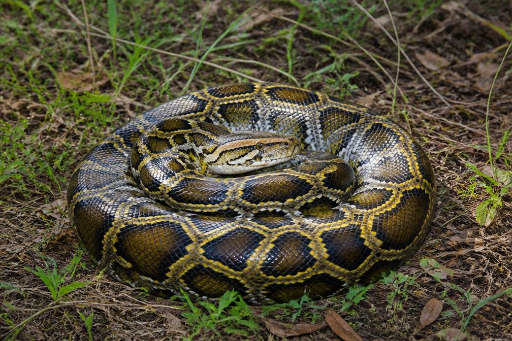 15 sightingsBurmese PythonMost seen around 6 PMSighting map
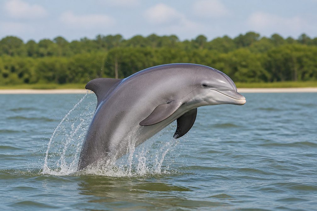 17 sightingsTamanend's Bottlenose DolphinMost seen around 7 PMSighting map
 23 sightingsBald EagleMost seen around 7 AMSighting map
 146 sightingsGreat BarracudaMost seen around 6 PMSighting map
Sighting maps show where each species has been reported across Biscayne. Wildlife moves, so no sighting is guaranteed.
Keep exploring
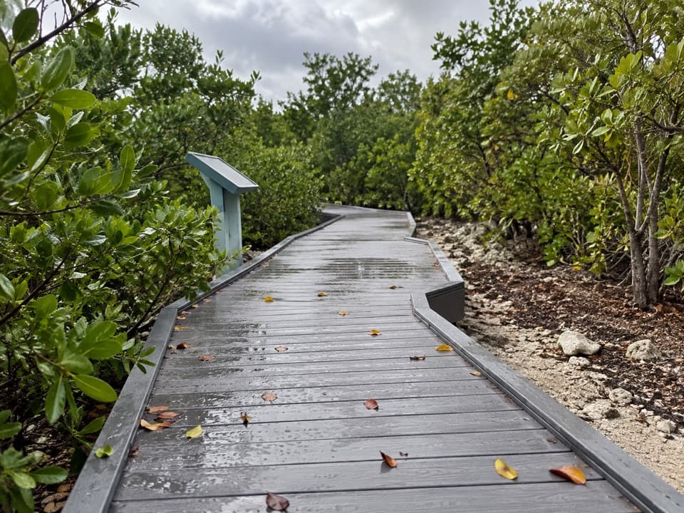 EasyElliott Key Nature Trail1 mi · 45 min · 0.3 mi awayA short island walk from hammock shade to Atlantic boardwalk
 EasyAdams Key Loop Trail1 mi · 30 min · 4.6 mi awayA shaded island loop through a former presidential retreat.
 EasyBoca Chita Trail0.7 mi · 30 min · 5.1 mi awayA short loop through island woods to Boca Chita's south shore.
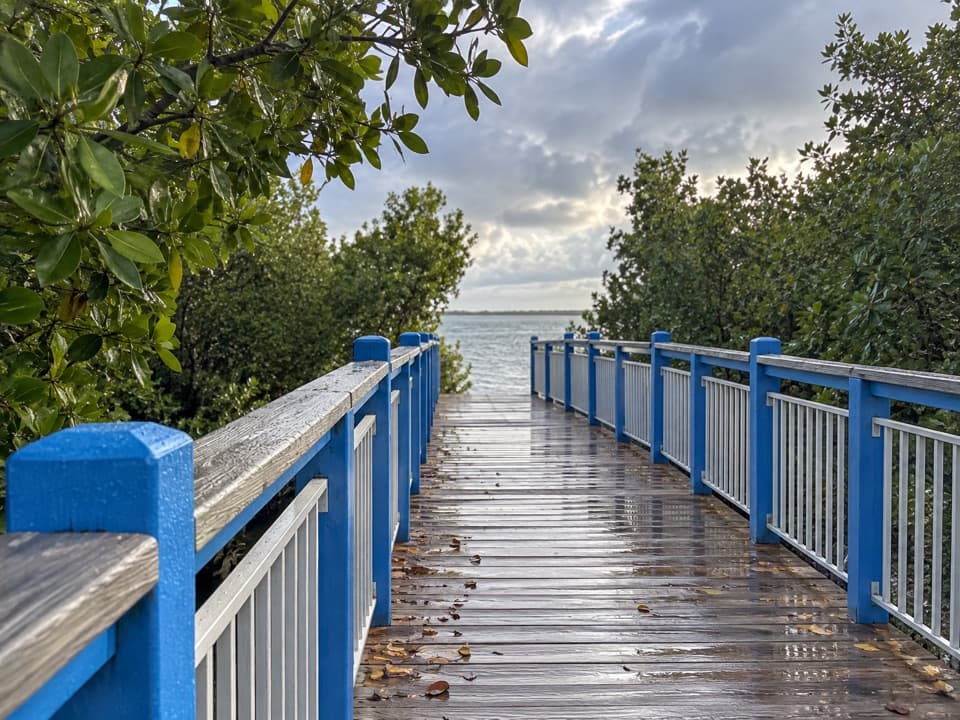 EasyConvoy Point Jetty Walk0.8 mi · 30 min · 8.9 mi awayMangroves, shallow bay water, and a jetty with history.
 EasyBiscayne-Everglades Greenway1.8 mi · 1 hr · 9.7 mi awayFollow a flat canal path to Biscayne Bay.
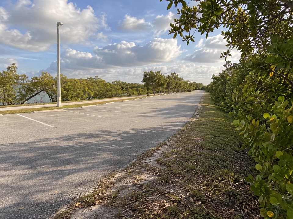 EasyBlack Creek Trail8.7 mi · 4 hr · 10.4 mi awayA long canal path from a bayfront marina into suburban Miami.
 EasyBlack Point Jetty Trail1.7 mi · 1 hr · 10.4 mi awayAn easy marina walk onto a sandy jetty and into Biscayne Bay.
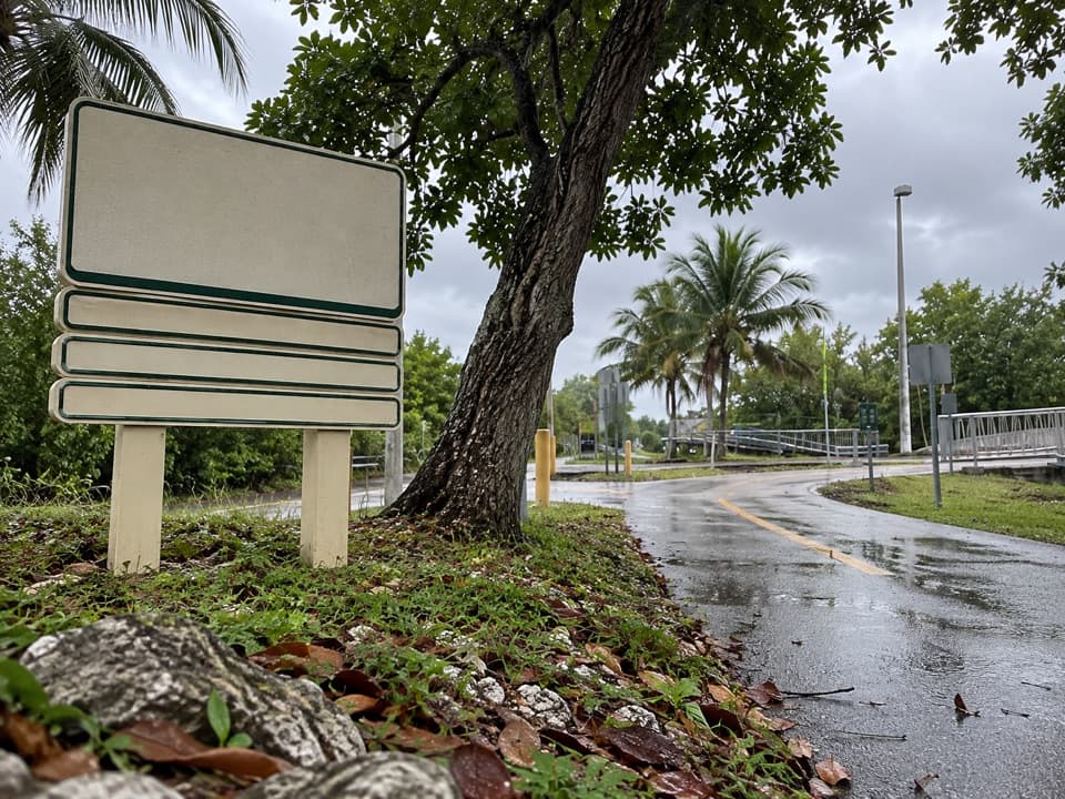 EasyBiscayne Trail2.7 mi · 1.2 hr · 10.6 mi awayA 2.7-mile county path links Black Point Marina to Old Cutler Road.
 Campground · 0.2 mi awayElliott Key CampgroundBoat in for island camping; bring repellent for biting insects.
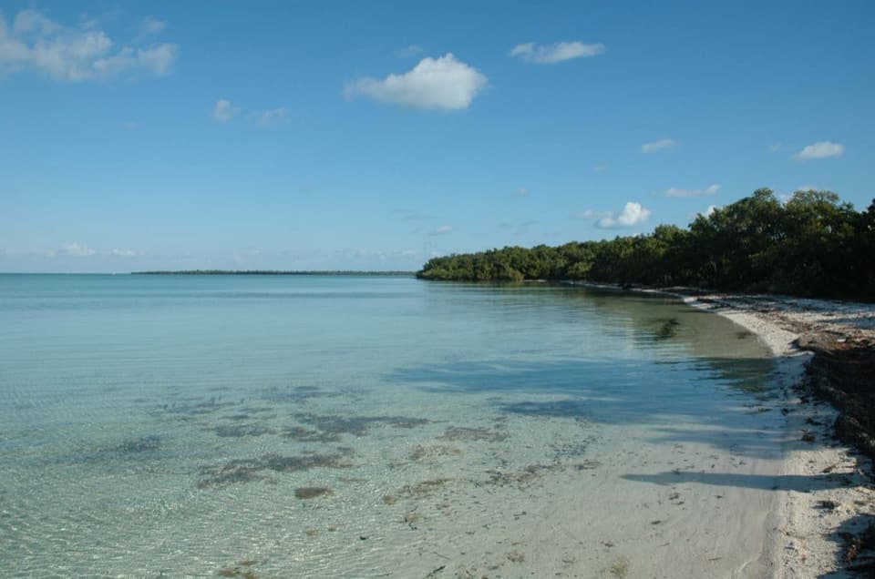 Sight · 0.3 mi awayElliott KeyA boat-only island with a shaded trail between bay and ocean.
 Sight · 3.6 mi awayBache ShoalAn offshore reef stop for snorkeling and shallow-water diving.
 Sight · 3.8 mi awayTracy ReefA shallow-water reef stop with a designated boat mooring.
 Sight · 4.2 mi awaySchooner WreckA boat-only snorkel stop over an unidentified 19th-century sailing vessel.
 Sight · 4.5 mi awayMandalay WreckA luxury cruise schooner now rests as a shallow snorkel wreck.
 Sight · 4.6 mi awayLugano WreckA 1913 steamer wreck for divers exploring Long Reef.
 Picnic area · 4.6 mi awayAdams KeyBoat-only island stop with a short hammock walk and Cocolobo history.
Parkwolf’s Biscayne ranking

The audio tour guide for the drive, plus offline maps, trails, and wildlife heatmaps for when the signal drops.