
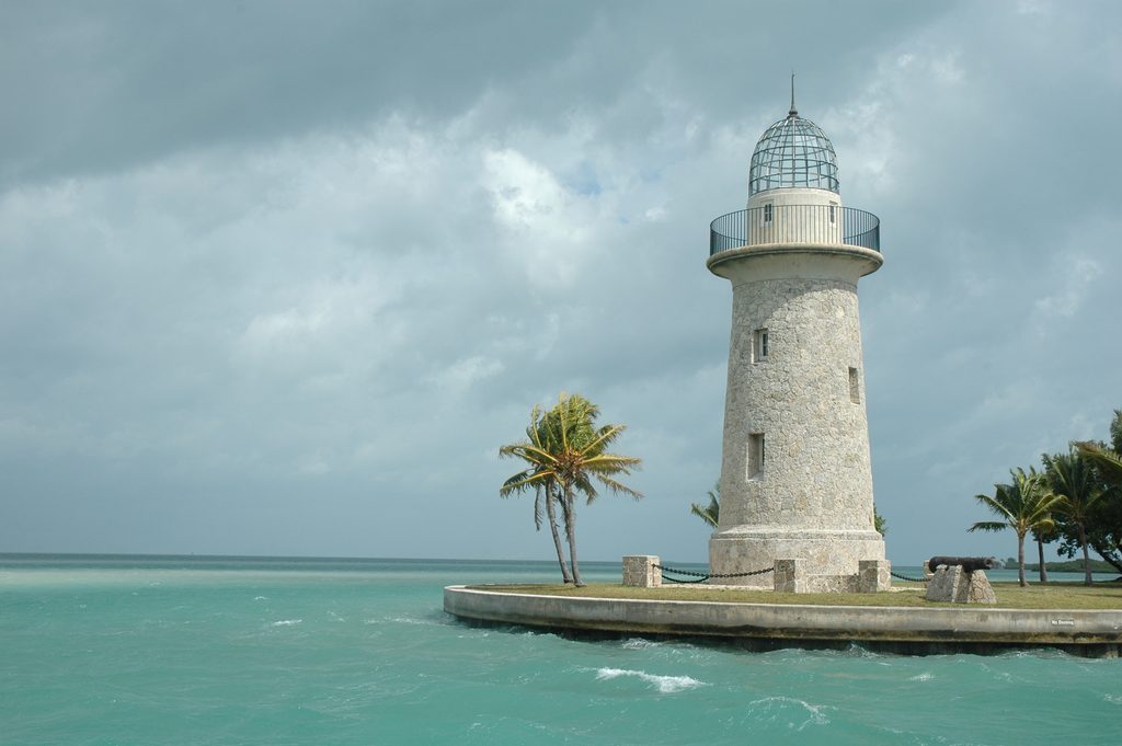
Place · 1.6 mi away
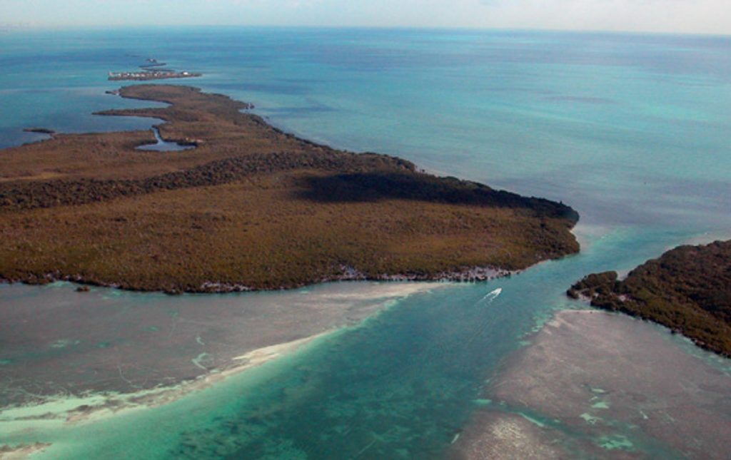
Sands Key is an uninhabited island in lower Biscayne Bay, tucked between Boca Chita Key and Elliott Key. It’s all about quiet: emerald islets, aquamarine water, and open bay vistas without the crowds or infrastructure. Getting here is half the fun—and the filter that keeps it peaceful.
Expect low, subtropical vegetation and long sightlines across the bay to neighboring keys. Historic accounts note two small hills or mounds that once made the island distinctive. The surrounding waters are shallow, with sand and seagrass flats that feel a world away from the mainland.
This is a boat-and-paddle destination. Small boats, kayaks, and canoes are the norm due to the skinny water. Snorkeling has been reported as a highlight in the area’s clear, shallow zones, with the kind of tranquil ambiance that rewards unhurried exploring.
Access is by water only—there are no bridges, roads, or ferries. Navigation matters here: the approach is shallow, so check tides and use charts. There are no services on the island: no restrooms, water, shelters, or designated trails. Come fully self-sufficient and pack out everything you bring.
Sands Key has worn many names over time, including Las Tetas ("the breasts"), The Paps, Pownal Kay, Pownall Island, Restinga de Las Tetas, and Saunder’s Key. The evocative Spanish name likely referenced two hills or Indian mounds that once set the island apart. It sits within the broader protected seascape preserved as Biscayne National Park.
Specific species lists for Sands Key aren’t documented, but the mangroves and shallow waters around the island fit the park’s broader mix of shorebirds, fish, and occasional charismatic marine life. Move slowly and you’ll see more—this is a place where quiet observation pays off.
Aim for daylight hours with favorable tides; avoiding very low tide makes approaches easier in the shallow flats. Because access is only by water and there are no facilities, most visits are short, daylight outings when conditions are calm.
Place · 1.6 mi away
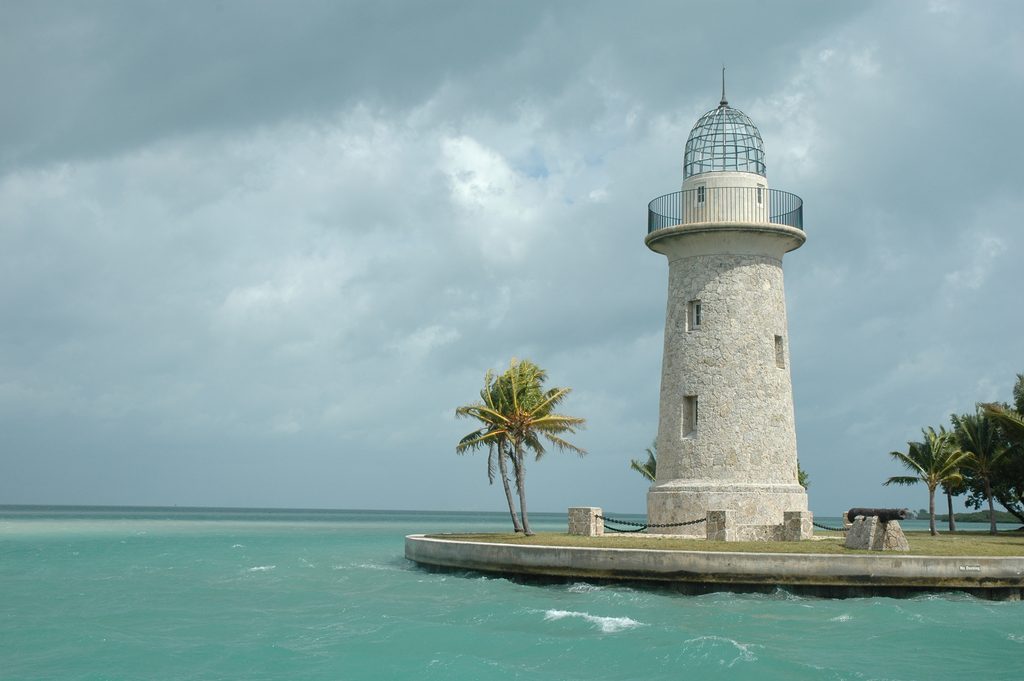
Place · 1.7 mi away
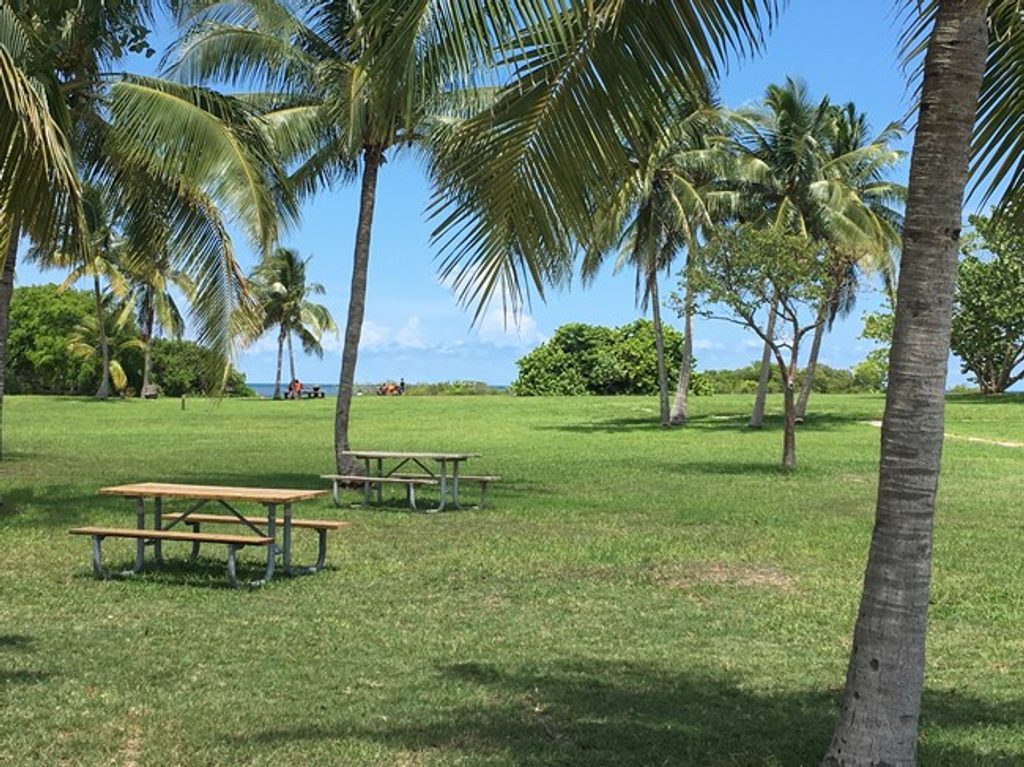
Place · 1.7 mi away
Place · 2.2 mi away
Easy · 1.7 mi away
Easy · 3.4 mi away
Easy · 3.4 mi away
Easy · 7.6 mi away

Parkwolf Tour Guide
