
Place · 0 mi away
Easy
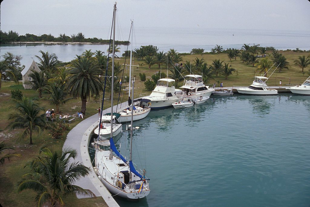
This is a very short, very easy island walk—think scenic stroll, not backcountry hike. The loop is roughly 0.5 miles total, with two access points near the harbor and the camping area. Most people wander it in 15–30 minutes, and many add extra steps to poke around the harbor, picnic spots, and small beach at the south end.
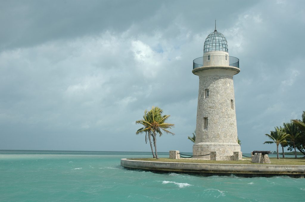
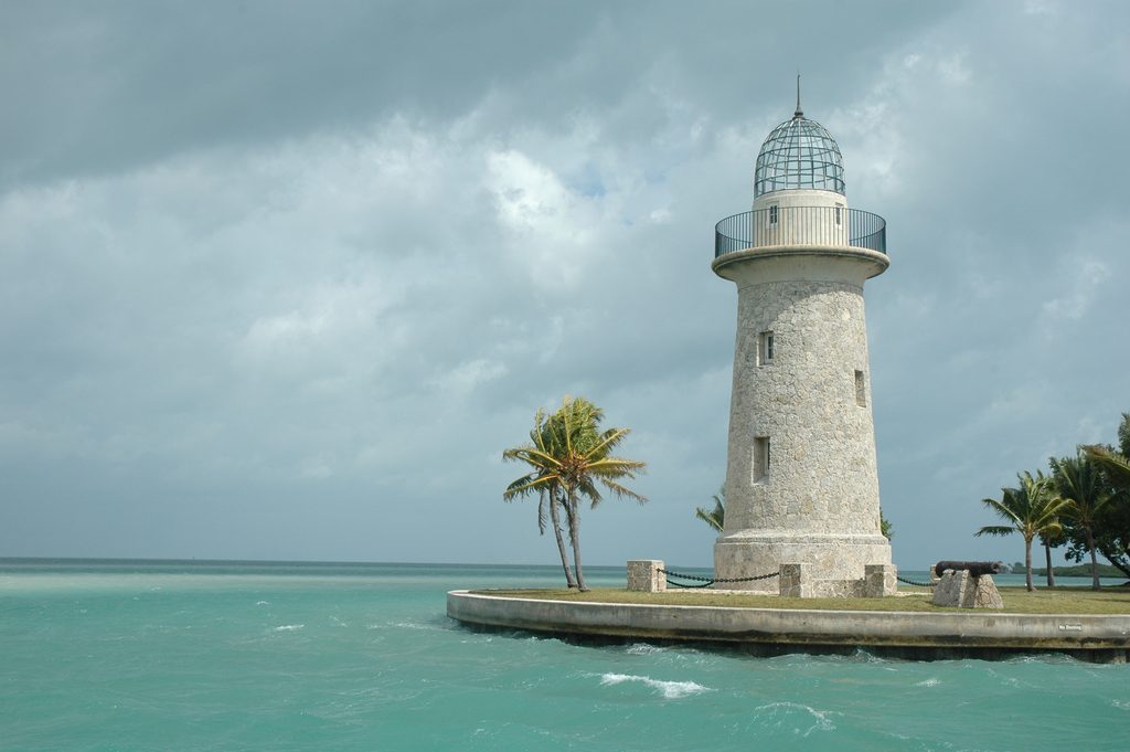
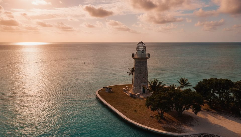
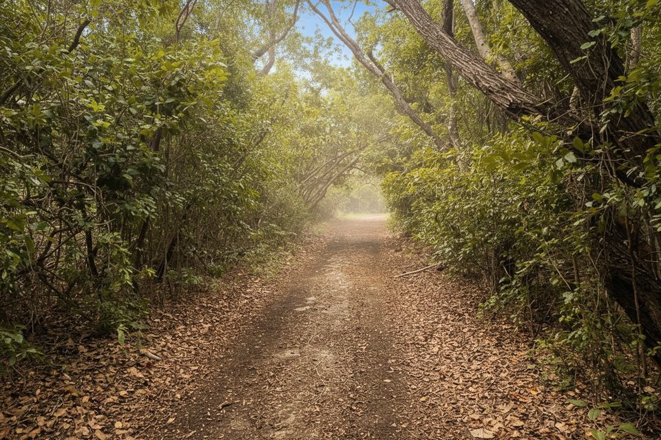
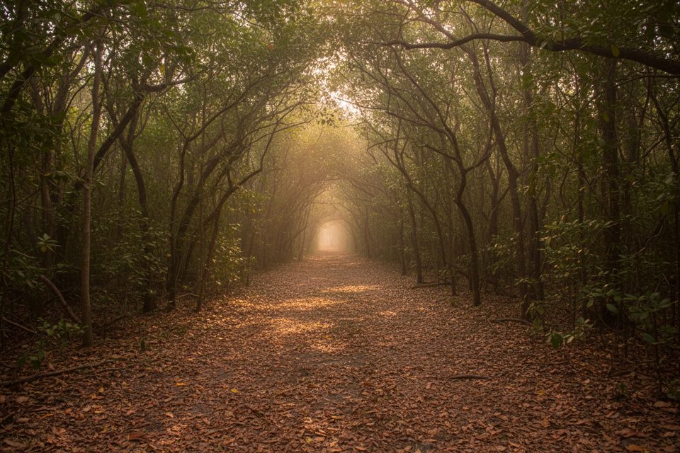
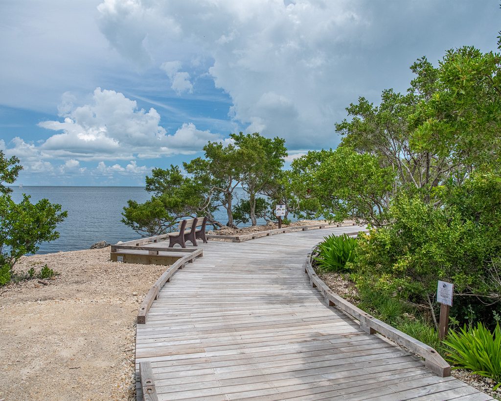
You’ll wind through coastal woodland with pockets of shade, then pop out to views of Biscayne Bay and the protected harbor. The star here is the 65‑foot ornamental Boca Chita Lighthouse (built in 1937). It’s a striking coral‑rock tower and the island’s visual anchor. Note: the lighthouse is currently closed for renovations, with no interior access. Along the way, look for interpretive panels, coral rock details in the lighthouse and harbor walls, and a sandy beach with views toward Sands Key—an excellent linger spot between boat runs.
Flat and forgiving from start to finish. Surfaces are natural—packed dirt, grass, and some sandy spots—and can get slick after rain. It’s family‑friendly and a good leg‑stretch if you’re landing here on a boat tour.
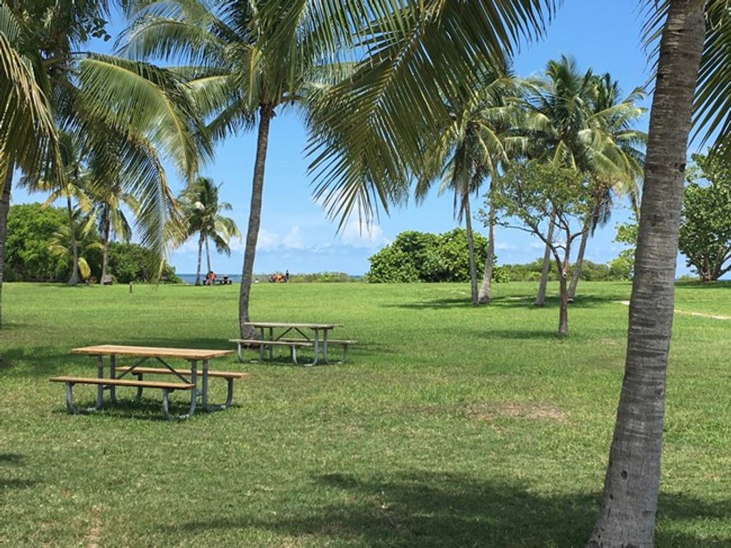
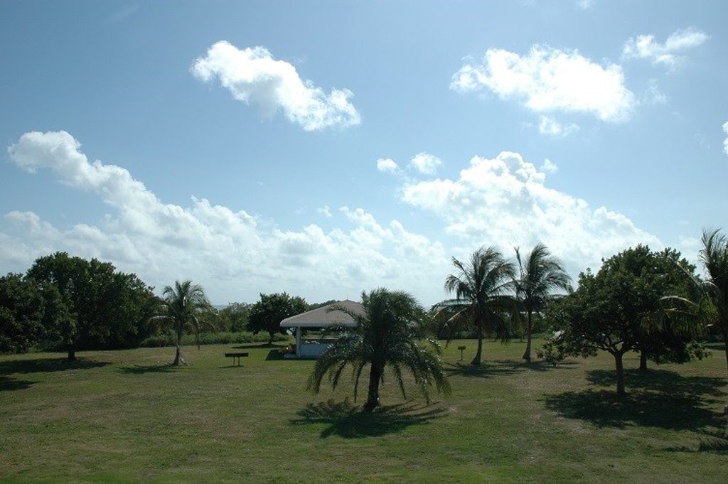
Access is by boat only—either your own or a guided landing via the park’s concessioner. Docking in the harbor is first‑come, first‑served. There’s basic infrastructure clustered near the harbor and lighthouse: vault toilets, picnic tables, grills, and a simple campground. No potable water is available, and there are no concessions.
Year‑round is possible, but you’ll be happiest in the cooler, drier months (late fall through early spring). In summer, expect heat and mosquitoes. Aim for early morning or late afternoon for softer light, fewer people, and less midday scorch.
Bring all the water you need, plus sun and bug protection. Wear shoes with a bit of grip—some sections can be slick after rain. Swimming is allowed at the small beach but not in the harbor or no‑wake zones. If you want a longer walk in the park, plan to combine this stop with more time on the water or another island landing; this loop is short and best appreciated as part of a broader boat‑based day.
No car access. Arrive by private boat or a guided tour; dock at the island’s harbor (first‑come, first‑served) and start near the harbor or camping‑area access.
No drinking water on the island; bring all supplies. Mosquitoes can be intense, especially in warmer months. Surfaces may be slippery after rain. Swimming is limited to the small beach—no swimming in the harbor or no‑wake zones. Lighthouse is closed for interior access during renovations.
Place · 0 mi away
Place · 0.1 mi away
Place · 0.1 mi away
Place · 0.5 mi away
Easy · 5.1 mi away
Easy · 5.1 mi away
Easy · 9.3 mi away
Easy · 10.7 mi away

Parkwolf Tour Guide
