

Place
Easy
This is a quick, low-effort out-and-back to a hauntingly beautiful headland ruin. The walk is about 0.4 miles total with roughly 68 feet of gentle gain, and most people spend 30–60 minutes including time to wander the site and read the signs. Expect an easy, mostly level approach from the car park to the ruins.
You’re here for the setting and the story. The ruins sit on sheer coastal cliffs, and the remains tell of a sizeable 19th‑century lightstation: the stone tower (built from locally quarried sandstone), an eight‑room complex that once housed up to fifteen people, a head keeper’s cottage, a kitchen/laundry, and even a double latrine that once drained over the cliff. The lighthouse is often described as poorly sited, linked in local lore with shipwrecks and a string of tragedies among the keepers’ families. The light was replaced by a new one at Point Perpendicular in 1899, and the tower was later demolished between 1917 and 1922. Interpretive signs fill in the gritty details.
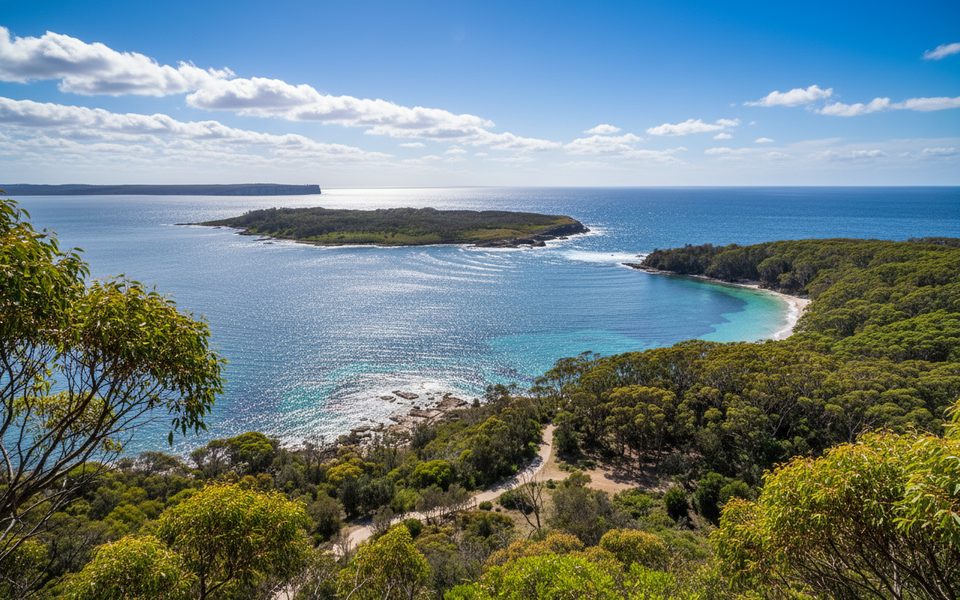
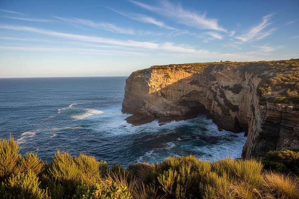
On a clear day you’ll get huge ocean views and that windswept, photogenic mix of sandstone, sea, and coastal heath. Keep an eye out for sea eagles riding the updrafts, and during migration season this headland is one of the park’s standout whale‑watching spots.
It’s short enough for any daylight hour, but morning and late‑afternoon light make the stonework pop. For comfort, spring and autumn are typically milder than peak summer heat; winter afternoons line up nicely with whale activity. If you’re here for whales, plan around the migration season.
There’s a car park and toilets at the start. Reaching the site involves about 6 km of gravel road—fine for most vehicles if you take it slow, especially after rain. A park pass is required for entry. Pets aren’t permitted. The ruins themselves are closed (no climbing), but the grounds are open. Edges are only partly fenced and there are some unfenced drop‑offs; supervise kids closely, watch footing near the cliff (visitors report occasional broken glass), and keep well back in windy conditions. It’s a short walk, but the payoff in views and history is big; if you want a longer leg-stretcher, combine this stop with other coastal walks in the park.
Lighthouse car park at the end of Old Lighthouse Road (gravel); toilets at trailhead. Park pass required.
Unfenced and partly fenced cliff edges with sheer drop-offs; strong winds common; occasional broken glass near the edge; drive slowly on the 6 km gravel approach, especially after rain.
Place
Place
Place
Place
Moderate
Moderate
Challenging
Moderate

Parkwolf Tour Guide
