
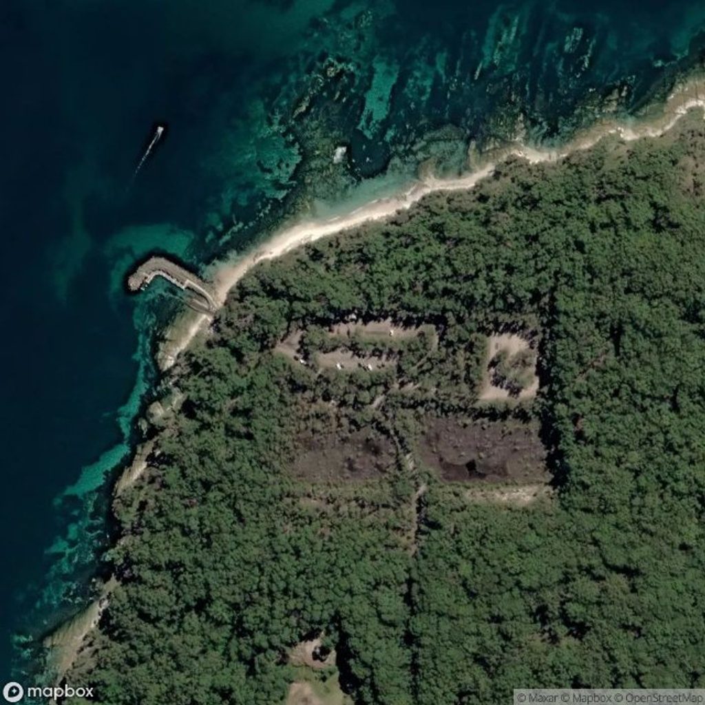
Place · 0 mi away
Moderate
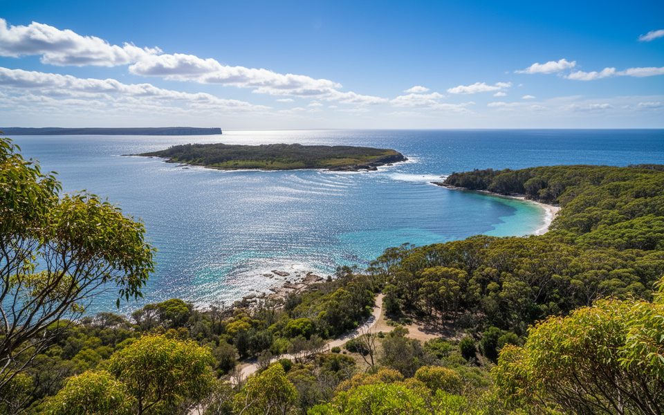
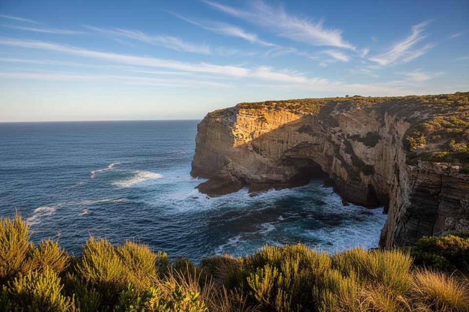
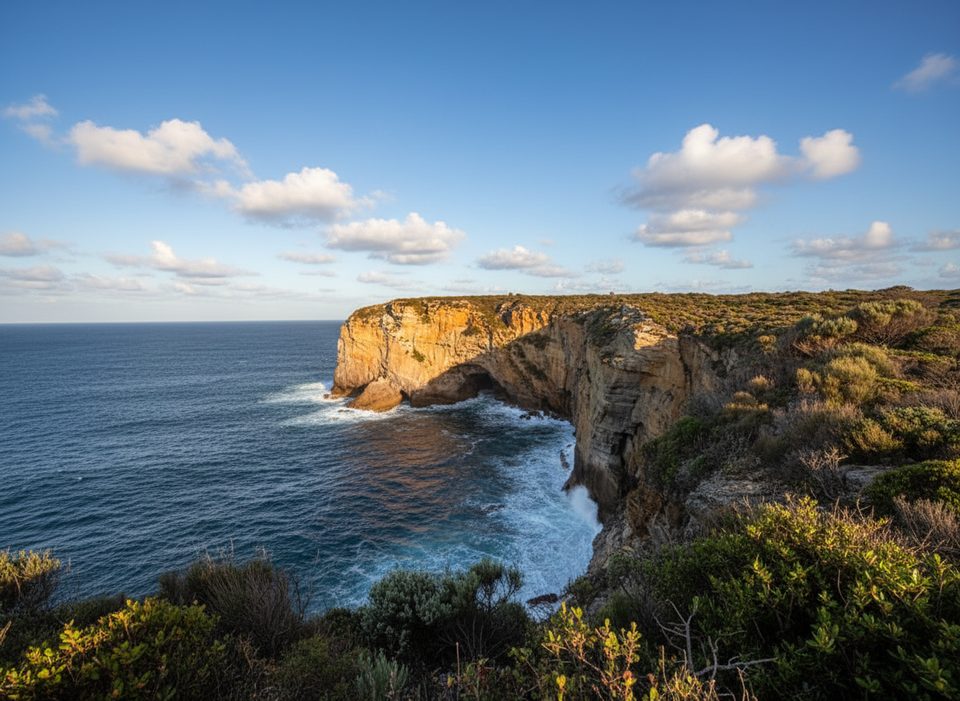
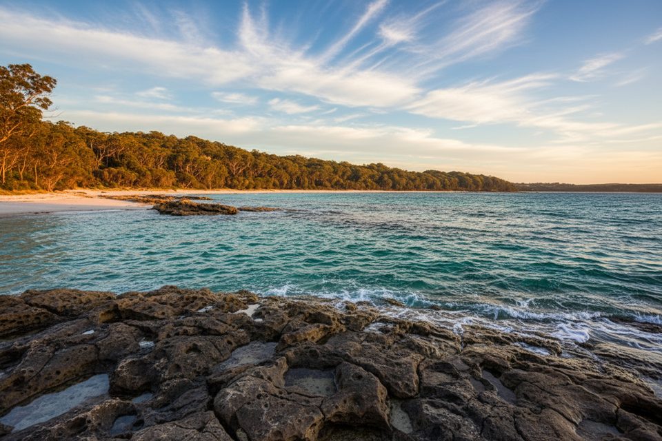
This coastal headland circuit starts and finishes at the Murrays Beach car park and loops for 5.4 km (about 3.4 miles total). Expect around 2–2.5 hours at a moderate pace on sandy, undulating bush track through coastal forest and low heath. It’s the park’s signature walk for good reason: sweeping views across Jervis Bay, the Tasman Sea, and Bowen Island, plus a beach at the trailhead to cool off when you’re done.
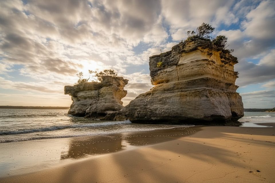
The loop is signposted and commonly walked anti‑clockwise, though either direction works. Short on time? From the car park it’s a 300 m, ~5‑minute easy stroll to Murrays Beach, or a 1.1 km (~20 minutes) easy walk to Governors Head lookout for big bay vistas. If you’re exploring at low tide, you can add a rock‑platform wander from the boat ramp toward Hole in the Wall and even onward toward Green Patch; stick strictly to low tide and expect uneven, slippery rock.
Look for scribbly gums, banksia and open heath between forested pockets and cliff‑edge viewpoints. The 14 self‑guided signs along the loop unpack Booderee’s plants, animals, culture and history. From Governors Head you’re looking straight out to Bowen Island, home to a little penguin colony (view from land only). Keep an eye out for seabirds, dolphins and seasonal whales; early risers may even hear or glimpse the endangered eastern bristlebird. Wallabies sometimes graze along the track edges.
This one’s good year‑round. Go early or late for softer light, calmer wind, and better wildlife activity; weekends and holidays see more beach traffic. For the optional rock‑platform add‑ons, plan around a low tide window. Summer sun can bite on the exposed heath and cliff tops—start early and bring plenty of water.
Park entry fees apply; purchase a pass before you roll up. Drive south on Naval College Road to the park entrance, then follow Jervis Bay Road to the Murrays Beach car park (toilets here; none on the loop). There’s no public transport. Mobile signal can be patchy. The loop isn’t pram‑ or wheelchair‑friendly thanks to sandy, uneven surfaces. Stay on marked tracks, keep well back from cliff edges, and remember all intertidal plants and animals are protected—look, don’t touch. No dogs.
Park at Murrays Beach car park at the end of Jervis Bay Road; toilets at the car park, none on the trail.
Cliff edges and uneven sandy sections; variable mobile reception; rock platforms only at low tide; all intertidal life is protected; no dogs.
Place · 0 mi away
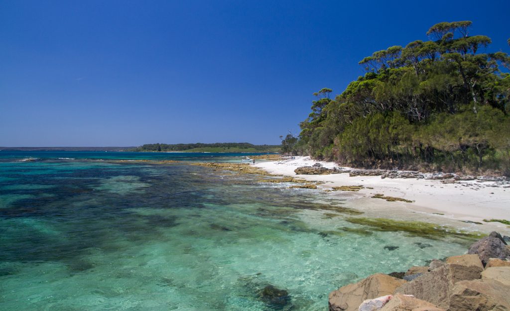
Place · 0.3 mi away

Place · 0.6 mi away
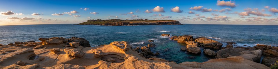
Place · 0.6 mi away
Moderate · 0 mi away
Easy · 0 mi away
Easy · 0.8 mi away
Easy · 1.1 mi away

Parkwolf Tour Guide
