Murrays Beach in Booderee National Park

#1 of 24 sights in Booderee

Beach · Booderee National Park

Murrays Beach

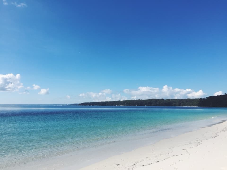
Five minutes from parking to white sand and island views.

Photo: Public Domain
Type
Beach
Nearest trail
0.4 km
Audio stories
4 nearby
  • Parking
  • Restrooms
  • Scenic viewpoint

Hear the audio tour

Murrays Beach and Bowen Island

Overview

About Murrays Beach

Why stop

  • Clear shallows draw snorkellers
  • A 14-sign cultural walk starts nearby

Heads up

  • No lifeguard patrol

Map

Where it is

Loading the Booderee map
Full map
BeachMurrays Beach-35.12522, 150.75921
Keep this map with you offline in the Parkwolf app

Plan your stop

Before you go

3 active Booderee alerts

  • CautionH5 bird flu detected in BoodereeAvoid contact with sick or dead wildlife at Booderee. H5 bird flu was detected in a greater crested tern found in the park; the park remains open.Official details
  • InfoEntry station closed—arrange your pass before arrivalBooderee’s entry station is currently closed; arrange your park pass before entering.Official details

See all 3 alerts
A park ranger sits on a dash-mounted phone, talking, as Parkwolf’s Tour Guide plays “Army Cutworm Moths: A Grizzly Bear Buffet” on Grand Loop Road below Dunraven Pass in Yellowstone
Parkwolf Tour GuideThe highest, rockiest slopes around here are a summer buffet for grizzly bears.

Booderee Tour Guide

Your drive to Murrays Beach, narrated.

Parkwolf is a GPS audio tour guide for Booderee National Park. As you drive, it chimes in with what’s ahead: hidden gems, upcoming stops, history, geology, and wildlife, right through your car’s speakers.

Recorded for this place

Murrays Beach and Bowen Island
0:00 / 0:30
“You're coming up on Murrays Beach, with white sand and Bowen Island across the water. It's a five-minute walk from the car park, so this is an easy beach stop without a long hike.”

Plays as you drive up to Murrays Beach in the Parkwolf Booderee Tour Guide.

More stories near here in the app

  • Hole in the Wall: The Sandstone Notch
  • Scottish Rocks: Pools and Snorkelling
  • Cape St George Lighthouse Ruins
  • Green Patch Beach and Picnic Area
  • 23 audio storiesacross Booderee’s roads, triggered by GPS as you drive
  • Wildlife heatmapsfor Grey Kangaroo, Echidna, Red-necked Wallaby, and 13 more
  • Works offlinemaps, 14 trails, 33 places, and audio download before you lose signal
  • CarPlay readysimple controls built for the drive
★★★★★
“Fantastic app with many points of information… It’s great to just turn on while you’re driving and it gives you an audio tour of the national Park. We love it!!!!”
JMJamesApp Store review
Download Parkwolf on the App StoreGet Parkwolf on Google Play

4.7 from 8,600+ ratings

Guide

More about Murrays Beach

A beach facing Bowen IslandMurrays Beach is a white-sand beach on the northeastern shore of Jervis Bay, with Bowen Island…

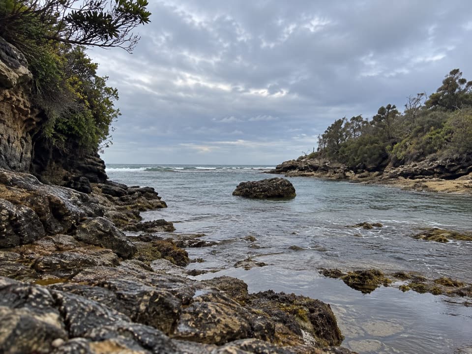
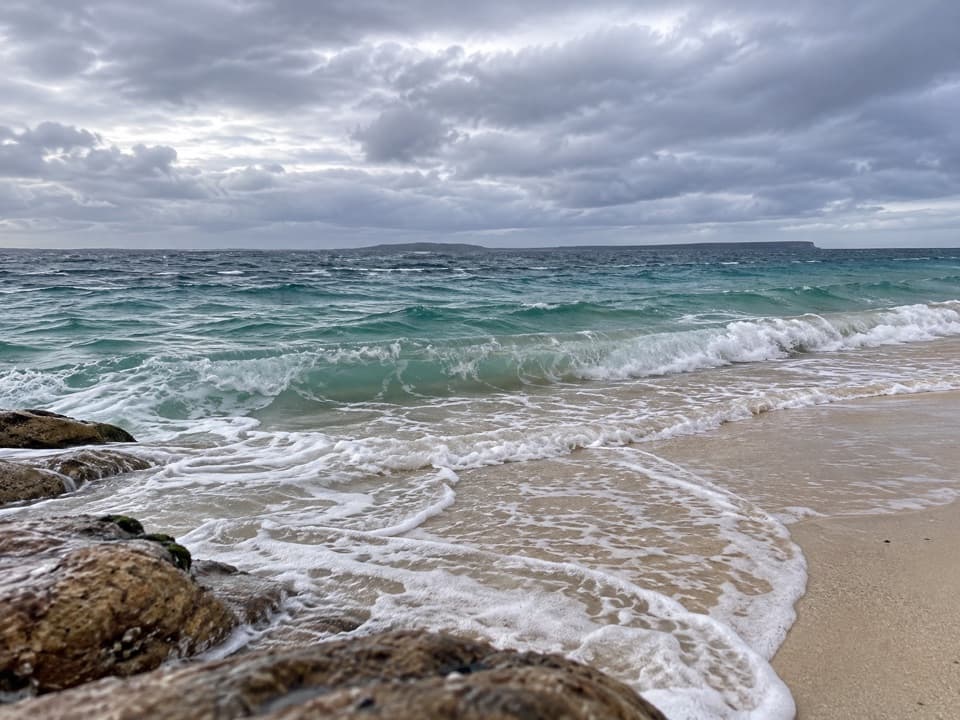
Murrays Beach is a white-sand beach on the northeastern shore of Jervis Bay, with Bowen Island across the water. Visitors come for the clear shallows, swimming and snorkelling, and the long island view. The bay can feel calm, but sea conditions change and Booderee’s beaches are not lifeguard-patrolled; take care around the water and supervise children.

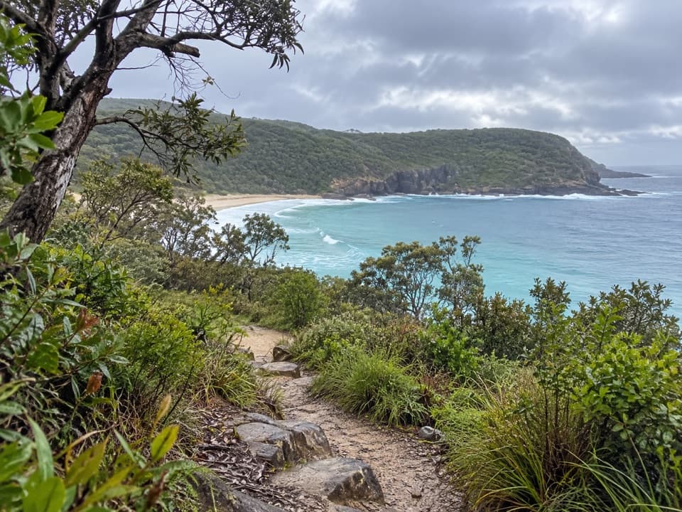
Get from the car park to the sandThe beach is a 300 m, five-minute walk from Murrays Beach car park on a Grade 2 track through…

The beach is a 300 m, five-minute walk from Murrays Beach car park on a Grade 2 track through coastal vegetation. Vehicle entry to Booderee requires a pass. The car park is sizeable, with public toilets reported there.

Walk beyond the beachMurrays is a stop on the Munyunga waraga dhugan loop, a 5.4 km, Grade 2 walk that takes about 2.

Murrays is a stop on the Munyunga waraga dhugan loop, a 5.4 km, Grade 2 walk that takes about 2.5 hours and has 14 interpretive signs. For a shorter extension, continue from the car park behind the beach to Governors Head lookout, 1.1 km each way, about 20 minutes. It opens up a wider view over Jervis Bay and Bowen Island.

Keep Bowen Island offshoreBowen Island is culturally significant to Booderee’s Traditional Owners and a key breeding…

Bowen Island is culturally significant to Booderee’s Traditional Owners and a key breeding colony for little penguins. The park map marks no public access within 30 m of the island, so enjoy the view from shore and leave the colony undisturbed.

A walk named in DhurgaMunyunga waraga dhugan means “white-bellied sea eagle’s home camp” in Dhurga, the language of…

Munyunga waraga dhugan means “white-bellied sea eagle’s home camp” in Dhurga, the language of the Wreck Bay Aboriginal people. The loop’s 14 signs interpret local plants, animals, culture and history, adding a cultural layer to a beach visit.

Little penguins in the bayBooderee’s little penguins are about 30 cm tall.

Booderee’s little penguins are about 30 cm tall. They forage in nearby bays for small fish, squid and other small marine animals, then return to Bowen Island around dusk and nest among Lomandra tussocks, rocks and vegetation. The island is a breeding place to protect, not a wildlife approach or landing point.

Sand, dunes and older rockBherwerre Peninsula is underlain by Permian marine-origin sandstone, siltstone and…

Bherwerre Peninsula is underlain by Permian marine-origin sandstone, siltstone and conglomerate, while dunes and sandy soils cover much of the landscape. Bowen Island shares the peninsula’s sandstone. At low tide, a route toward Hole in the Wall uses exposed rock platforms; tide and waves matter there, and the marine life on the platforms is protected.

Frame the island from shoreBowen Island is the beach’s defining view.

Bowen Island is the beach’s defining view. At sunrise, the light can gradually reach the island; include some pale sand in the foreground to show the shoreline as well as the view across the bay.

Wildlife

Wildlife in Booderee

All Booderee wildlife maps

Sighting maps show where each species has been reported across Booderee. Wildlife moves, so no sighting is guaranteed.

Keep exploring

Near Murrays Beach

See it all on the map

Trails nearby

More stops nearby

Parkwolf’s Booderee ranking

Top sights in Booderee

All 33 places
  1. 2Green Patch BeachBeach
  2. 3Cape St George LighthouseSight
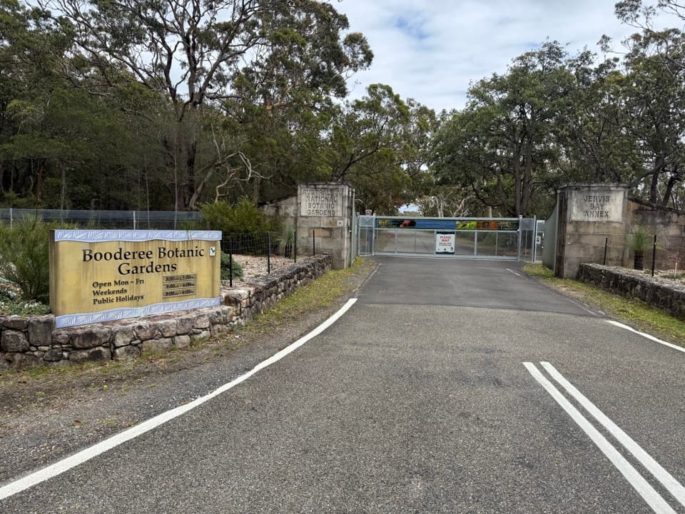
  3. 4Booderee Botanic GardensSight
  4. 5Cave BeachBeach
  5. 6Governors Head LookoutSight
  6. 7Hole in the WallBeach

Take Parkwolf to Booderee.

The audio tour guide for the drive, plus offline maps, trails, and wildlife heatmaps for when the signal drops.

4.7 from 8,600+ ratings

Download Parkwolf on the App StoreGet Parkwolf on Google Play