
Place · 0 mi away
Challenging
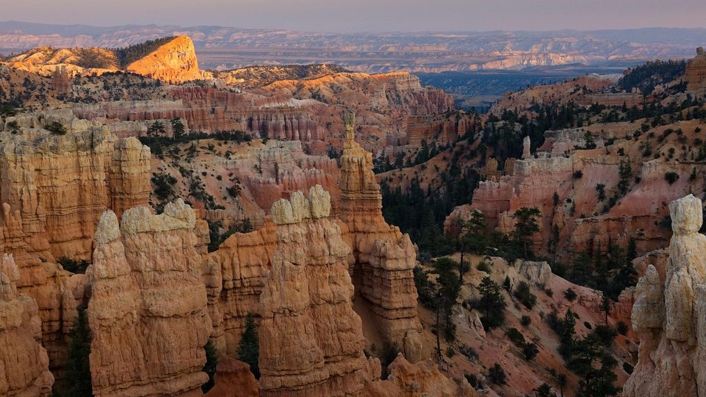
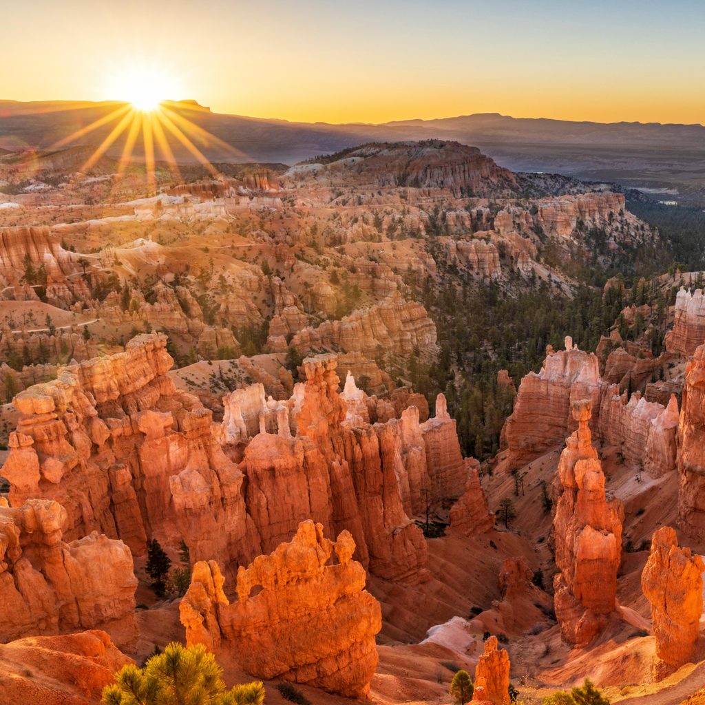
Fairyland Loop is an approximately 8-mile total loop that dishes up Bryce’s signature hoodoos without the shoulder-to-shoulder crowds. Starting from Fairyland Point just north of the main amphitheater, it dives below the rim, meanders through dramatic spires, then climbs back up for sweeping rim-top panoramas. Expect constant eye-candy and a true sense of space and solitude.
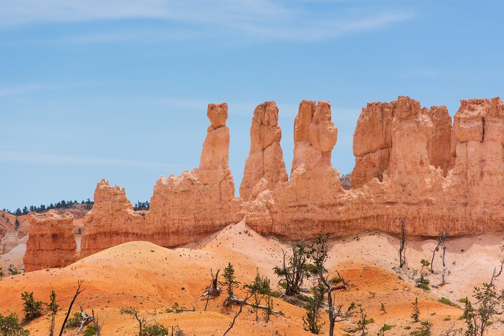
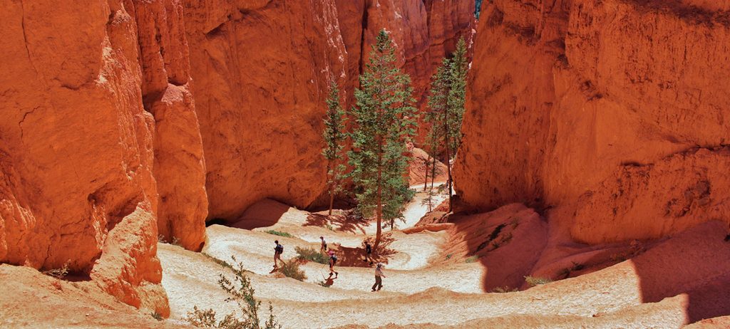
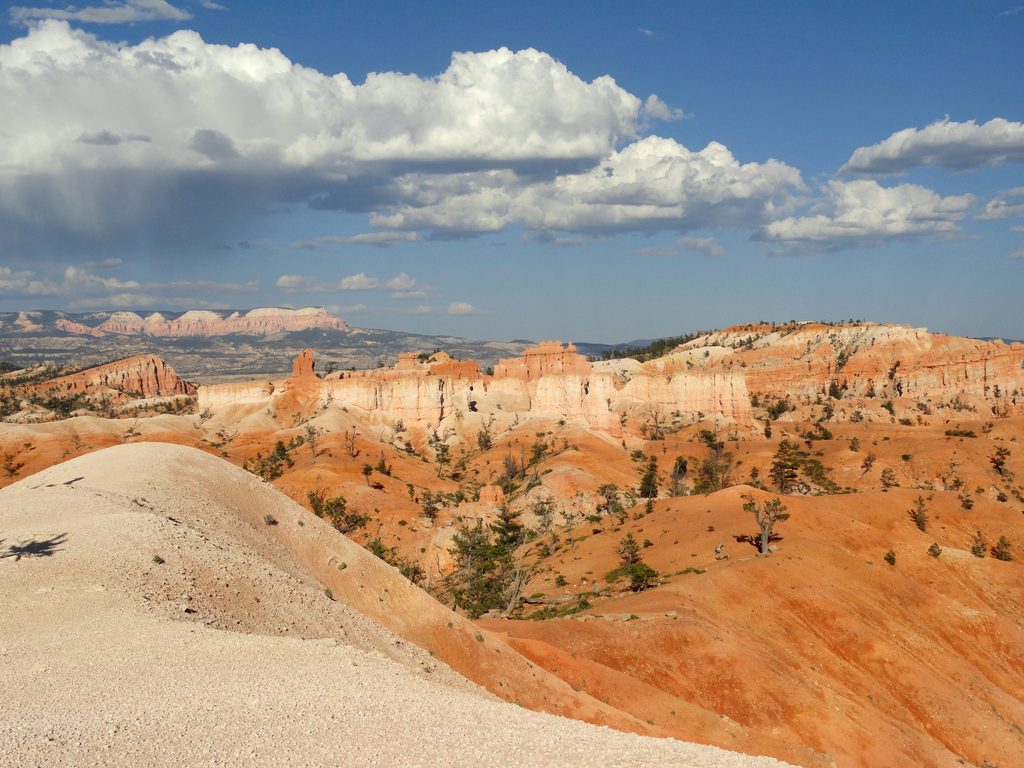
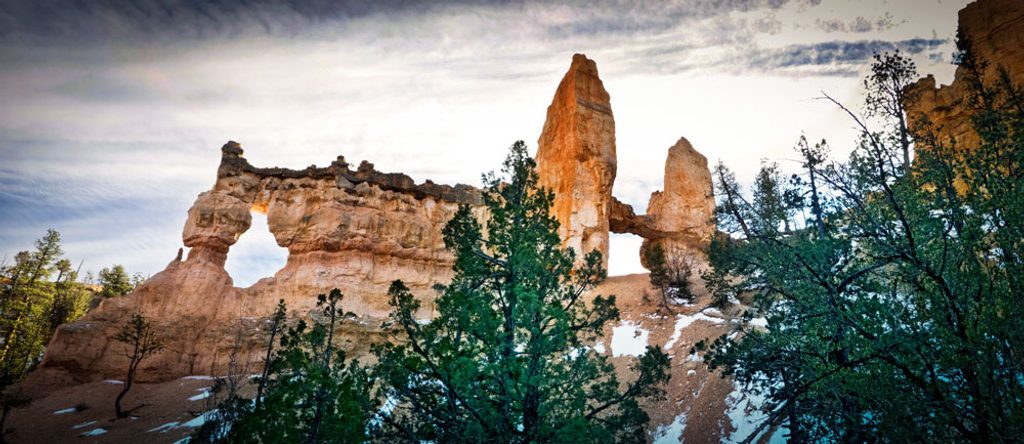
Most hikers go counter-clockwise from Fairyland Point for a more gradual climb and consistently great views. The trail drops roughly 630 feet from the rim into the canyon, undulates through sculpted terrain, then returns to the rim on a steady grade. Notable sights include the photogenic Tower Bridge formation (a worthwhile spur), Campbell Canyon, and big perspectives toward Boat Mesa. You’ll get both close-up hoodoo corridors and broad amphitheater vistas in one go.
Plan on 4–5 hours for the full loop, more if you stop often for photos (you will). It’s moderate to strenuous thanks to length and elevation change—total gain runs about 1,500–1,900 feet. The trail is well-marked, but trekking poles help on the descents and the final climb back to the rim.
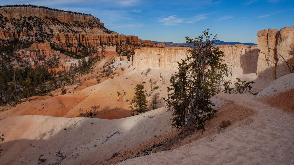
Those fantastical hoodoos are limestone, siltstone, and mudstone shaped by frost-wedging and rain over thousands of years. The lower sections are especially striking with twisting trees and vivid red-orange rock. Parts of the route pass into Bryce Canyon’s wilderness, so the vibe is quieter and more remote than the busier core amphitheater.
Spring, summer, and fall are prime. Mid-winter can be a no-go—snow depths of 2–15 feet often make this route inaccessible. In warmer months, start early to beat heat and enjoy the calm; the trail is exposed and shade is limited.
Park at Fairyland Point and hike the loop from there, or join via the Tower Bridge trail near Sunrise Point. There’s no shuttle to Fairyland Point, so you’ll be returning to your car on foot. Bring plenty of water, snacks, and sun protection. No pets are allowed on this trail (service animals excepted).
Park at Fairyland Point: from the visitor center, drive north 0.7 mile to the Fairyland Point sign, then east 1 mile to designated parking. No shuttle service.
Highly exposed with limited shade; carry ample water and sun protection. Expect about 1,500–1,900 feet of total gain and a final sustained climb. Mid-winter access is often blocked by deep snow.
Place · 0 mi away
Place · 0.9 mi away
Place · 0.9 mi away
Place · 1.1 mi away
Moderate · 0 mi away
Moderate · 1.7 mi away
Moderate · 1.7 mi away
Moderate · 1.7 mi away

Parkwolf Tour Guide
