Parking
Park at Sunrise Point and walk about 0.25 mile north on Rim Trail to the Tower Bridge trailhead. Oversized vehicles cannot use this lot while the shuttle is operating.
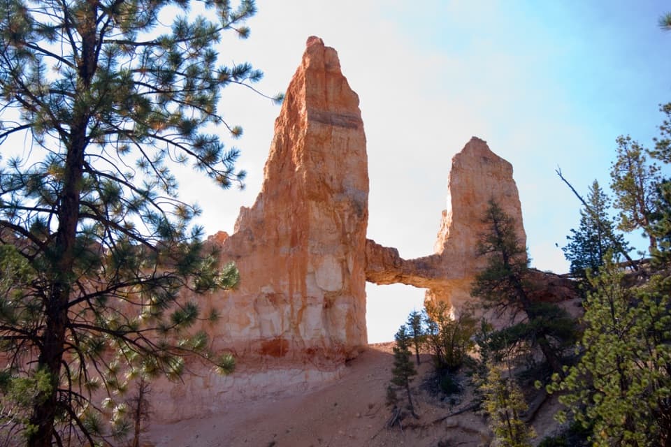
Bryce Canyon National Park, UT
Drop below the rim for a natural bridge and the Chinese Wall.
Overview
Map & elevation
Plan your hike

The highest, rockiest slopes around here are a summer buffet for grizzly bears.
Bryce Canyon Tour Guide
Parkwolf is a GPS audio tour guide for Bryce Canyon National Park. As you drive, it chimes in with what’s ahead: hidden gems, upcoming stops, history, geology, and wildlife, right through your car’s speakers.
See the Bryce Canyon audio tourRecorded for this trailhead
Sunrise Point: Pines Above the Hoodoos“You're coming up on Sunrise Point, overlooking the northern end of the amphitheater. After the big view, look for Stilts, a limber pine with roots exposed where the rim has eroded beneath it.”
Plays as you drive up to this trailhead in the Parkwolf Bryce Canyon Tour Guide.
More stories near here in the app
“Super fun and useful app! We especially enjoyed the guide as we drove through Bryce Canyon National Park.”


Trail guide
Tower Bridge Trail is a 3.0-mile out-and-back from the trailhead on the rim north of Sunrise Point. It drops along the southern Fairyland Loop corridor to a short, shady spur at the natural Tower Bridge formation, then returns the same way. Allow 2–3 hours; the route is moderate, with about 760 feet of climbing on the way back. It’s a good choice for a proper below-rim walk with a specific destination, without committing to the full Fairyland Loop.
The path leaves the open rim and winds through pale and red sand gullies, scattered bristlecone pines and rock outcrops. A tall light-colored wall rises along the descent. Around halfway down, look south for the Chinese Wall, a connected row of hoodoos with windows and towers cut through its profile. The walk changes from a broad rim view to close-up formations as you descend.
At the lower junction, follow the signed spur to the natural bridge; the through-trail continues into the rest of Fairyland Loop. Tower Bridge spans between tall orange hoodoos, with a separate spire beside it. From the end of the spur, look up through the opening. Sky behind the rock helps show the shape, though nearby pines can partly cross the view.
The 3.0 miles is the out-and-back from the Tower Bridge trailhead. Sunrise Point parking is about a quarter-mile north of that junction on Rim Trail, adding roughly half a mile total if you walk from the lot. Other route logs and directories show 3.6–3.8 miles, but their exact start and line aren’t clear; the mapped trail corridor is about 1.48 miles from the junction to the bridge, which supports the 3-mile trail figure. The longer Fairyland Loop is about 8 miles and continues beyond the Tower Bridge spur.
Use Sunrise Point parking, then follow Rim Trail north to the Tower Bridge trailhead. Oversized vehicles can’t use the Sunrise Point lot while the shuttle is operating. Seasonal restrooms and a water-fill station are available at the General Store near Sunrise Point; water access along the trail itself was not identified. No activity fee or reservation is required, though the park entrance fee may apply. Pets aren’t allowed, and the natural below-rim route is not considered accessible.
Wildlife
 15 sightingsWapitiMost seen around 6 AMSighting map
 51 sightingsUtah Prairie DogMost seen around 9 AMSighting map
 334 sightingsMule DeerMost seen around 7 AMSighting map
 120 sightingsPronghornMost seen around 6 PMSighting map
 41 sightingsTurkey VultureMost seen around noonSighting map
 44 sightingsWild TurkeyMost seen around 7 AMSighting map
Sighting maps show where each species has been reported across Bryce Canyon. Wildlife moves, so no sighting is guaranteed.
Keep exploring
 ModerateQueen’s Garden / Navajo Combination Loop2.9 mi · 2.5 hr · 0.2 mi awaySave Navajo’s steep switchbacks for the climb back out.
 ModerateQueen's Garden Trail1.8 mi · 1.5 hr · 0.2 mi awayDrop below the rim to meet Queen Victoria, then climb back out.
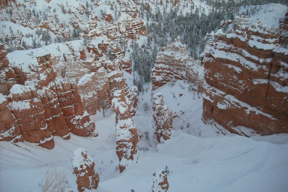 ChallengingFigure-8 Combination6.4 mi · 4.5 hr · 0.3 mi awayA long loop links Queen’s Garden, Peekaboo, Navajo, and the rim.
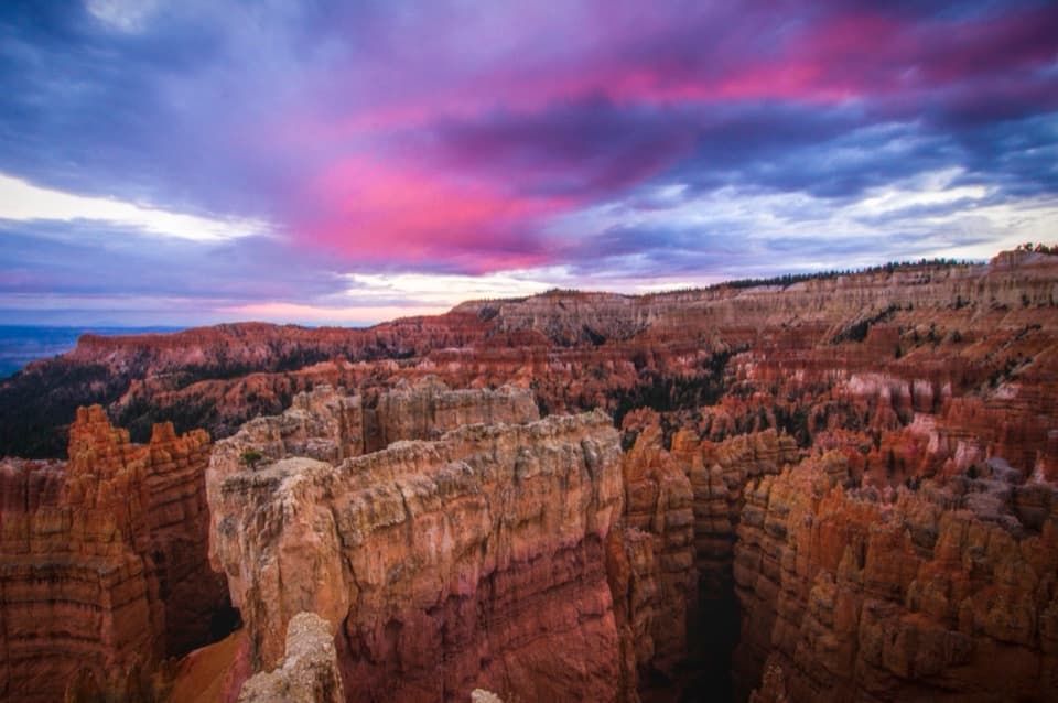 EasySunset Point to Sunrise Point Hike1 mi · 1 hr · 0.6 mi awayA paved half-mile rim walk with Bryce’s classic hoodoo view.
 ModerateNavajo Loop Trail1.3 mi · 1.5 hr · 0.7 mi awayA steep descent to Thor’s Hammer, then a climb back out.
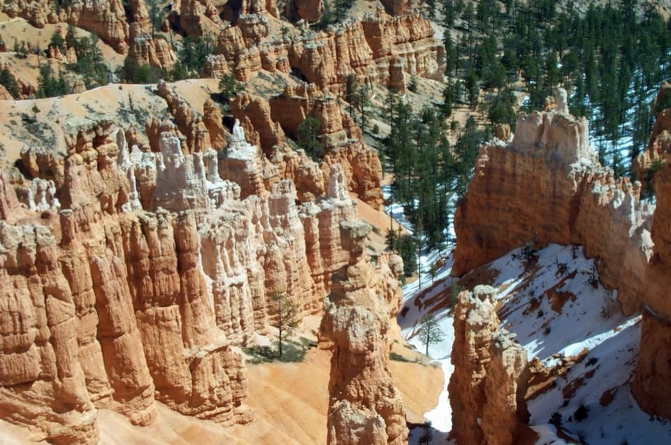 ChallengingNavajo/Peekaboo Combination Loop4.9 mi · 3.5 hr · 0.7 mi awayLink Navajo’s steep switchbacks to a clockwise lap around Peekaboo.
 ChallengingFairyland Loop Trail8 mi · 4.5 hr · 1.5 mi awayA long hoodoo loop with a shady Tower Bridge spur.
 ChallengingBryce Amphitheater Traverse4.7 mi · 3.5 hr · 1.9 mi awayA hoodoo descent, a clockwise trail stretch, and a steep rim climb.
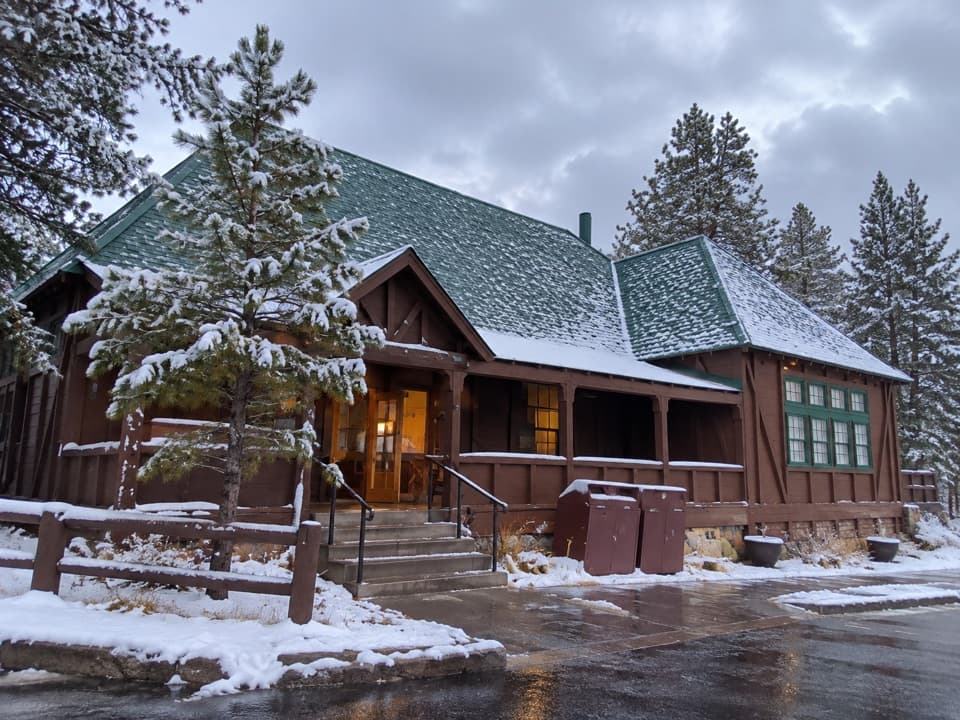 Store · 0.1 mi awayBryce Canyon General StoreQuick food and camping basics in a 1932 timber store.
 Sight · 0.1 mi awayHigh Plateaus InstituteBryce Canyon’s first administrative center, built in log and stone.
 Sight · 0.2 mi awayNorth Campground Outdoor TheaterA warm-season seat for evening ranger programs.
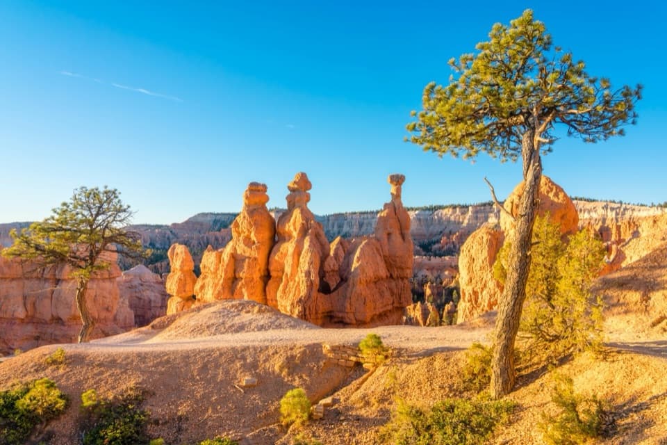 Sight · 0.3 mi awaySunrise PointWalk down to the hoodoos or take in the whole amphitheater.
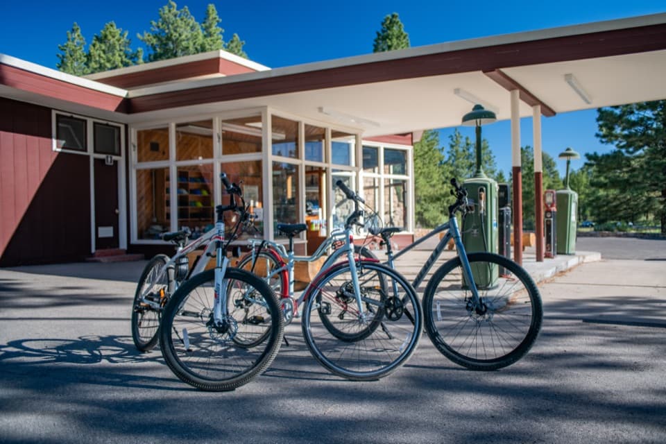 Sight · 0.3 mi awayHistoric Service Station and Bike RentalsRent a bike from a postwar roadside landmark.
 Sight · 0.4 mi awayQueen’s GardenA hoodoo garden with Queen Victoria at the end of a spur.
 Campground · 0.4 mi awayNorth CampgroundCamp in ponderosa pines across from the Visitor Center.
 Lodging · 0.5 mi awayBryce Canyon LodgeHistoric 1925 lodge campus, with the amphitheater rim a short walk away.
Parkwolf’s Bryce Canyon ranking

The audio tour guide for the drive, plus offline maps, trails, and wildlife heatmaps for when the signal drops.
