Fairyland Point in Bryce Canyon National Park

#8 of 29 sights in Bryce Canyon

Sight · Bryce Canyon National Park

Fairyland Point

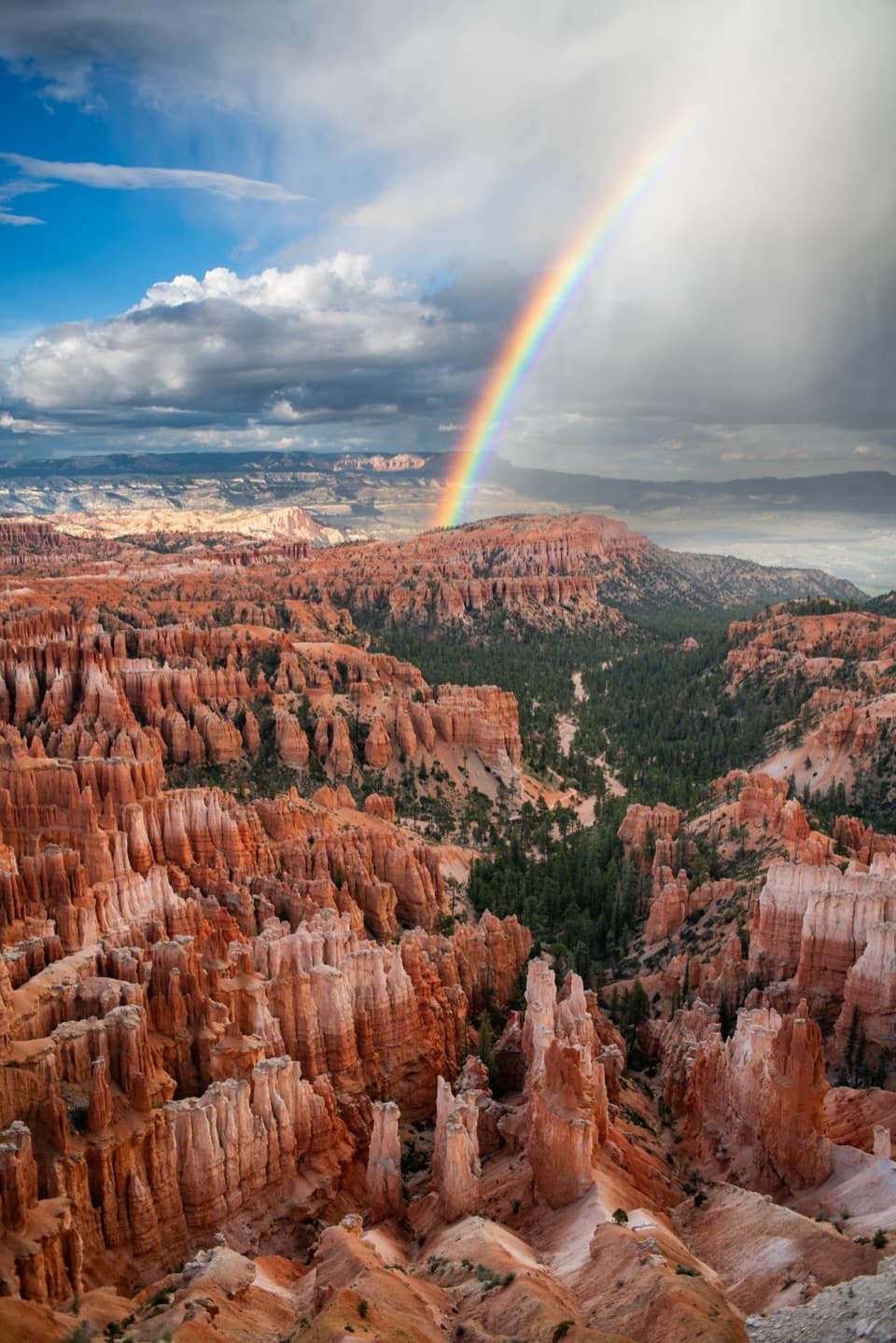
A quieter north-rim view over hoodoos still taking shape.

Photo: Wikimedia Commons
Type
Sight
Nearest trail
Right here
Audio stories
9 nearby
  • Parking
  • Scenic viewpoint
  • Picnic tables
  • Trailhead

Hear the audio tour

Fairyland Point: Look for Sinking Ship

Overview

About Fairyland Point

Why stop

  • Distinct northern hoodoo country and a revealing fault-tilted landmark

Heads up

  • No shuttle or visitor services; the spur closes to vehicles in winter

Map

Where it is

Loading the Bryce Canyon map
Full map
SightFairyland Point37.64914, -112.14738
Keep this map with you offline in the Parkwolf app

Plan your stop

Before you go

3 active Bryce Canyon alerts

  • ClosureWall Street closed after recent rainsWall Street is closed until further notice because of recent rains. - Other park trails are open, but hikers are urged to use caution. Check current park conditions before hiking.Official details
  • CautionUnder-the-Rim Trail damage and hiker advisoryUnder-the-Rim Trail conditions are deteriorated in many places; hike at your own risk. - Use a map and be able to navigate in the backcountry; strong wayfinding skills are essential.Official details

See all 3 alerts
A park ranger sits on a dash-mounted phone, talking, as Parkwolf’s Tour Guide plays “Army Cutworm Moths: A Grizzly Bear Buffet” on Grand Loop Road below Dunraven Pass in Yellowstone
Parkwolf Tour GuideThe highest, rockiest slopes around here are a summer buffet for grizzly bears.

Bryce Canyon Tour Guide

Your drive to Fairyland Point, narrated.

Parkwolf is a GPS audio tour guide for Bryce Canyon National Park. As you drive, it chimes in with what’s ahead: hidden gems, upcoming stops, history, geology, and wildlife, right through your car’s speakers.

See the Bryce Canyon audio tour

Recorded for this place

Fairyland Point: Look for Sinking Ship
0:00 / 0:30
“You're coming up on Fairyland Point, where the northern hoodoo country opens out just a few steps from the parking area. Look east for Sinking Ship, a block of rock tipped at about thirty degrees.”

Plays as you drive up to Fairyland Point in the Parkwolf Bryce Canyon Tour Guide.

More stories near here in the app

  • Under the Prairie Dog Meadow
  • Bryce Canyon Visitor Center: Beyond the Map
  • North Campground and the Outdoor Theater
  • Bryce Canyon General Store and the Old Service Station
  • 30 audio storiesacross Bryce Canyon’s roads, triggered by GPS as you drive
  • Wildlife heatmapsfor Wapiti, Utah Prairie Dog, Mule Deer, and 13 more
  • Works offlinemaps, 24 trails, 41 places, and audio download before you lose signal
  • CarPlay readysimple controls built for the drive
★★★★★
“Super fun and useful app! We especially enjoyed the guide as we drove through Bryce Canyon National Park.”
Rae607App Store review
Download Parkwolf on the App StoreGet Parkwolf on Google Play

4.7 from 8,600+ ratings

Guide

More about Fairyland Point

The northern rimFairyland Point is the northernmost viewpoint on Bryce Canyon’s plateau rim, reached by a…

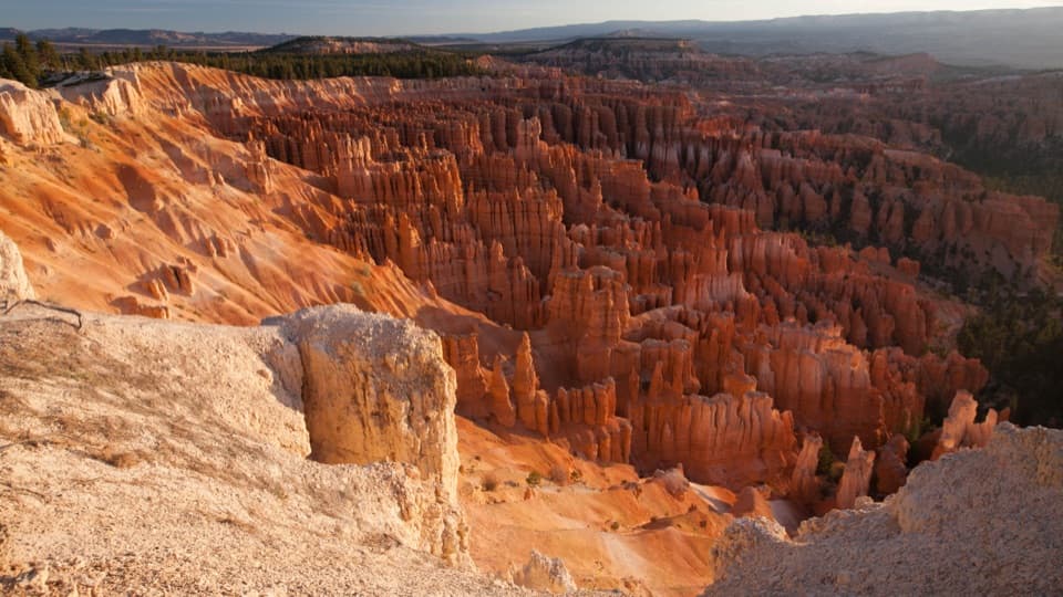
Fairyland Point is the northernmost viewpoint on Bryce Canyon’s plateau rim, reached by a one-mile spur just south of the park entrance. It looks into Fairyland Canyon, a broad hoodoo landscape rather than the dense amphitheater scene farther south. Stop for the northern view or use the point as the start of a much longer hike.

Getting to the overlookThe overlook is about 89 feet from the parking area, on firm, compacted unpaved ground with…

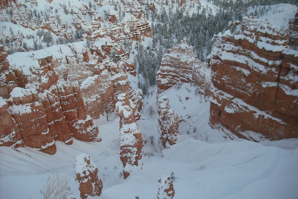
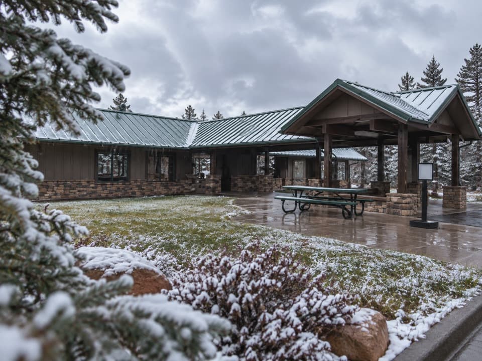
The overlook is about 89 feet from the parking area, on firm, compacted unpaved ground with only about 3 feet of elevation gain. It is listed as wheelchair accessible. There is a picnic table, but no food, water, restroom, or other visitor service at the point. The shuttle does not come here, and vehicles cannot use the spur in winter; the road is used for snowshoeing and cross-country skiing then.

What to look forThe view opens across Fairyland Canyon and its hoodoos, with Boat Mesa rising to the south and…

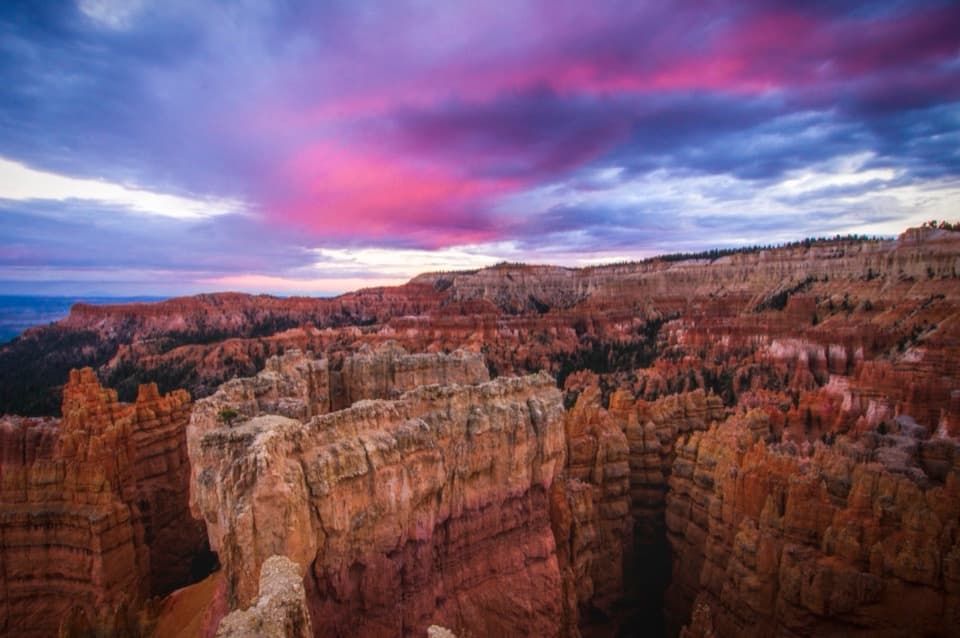
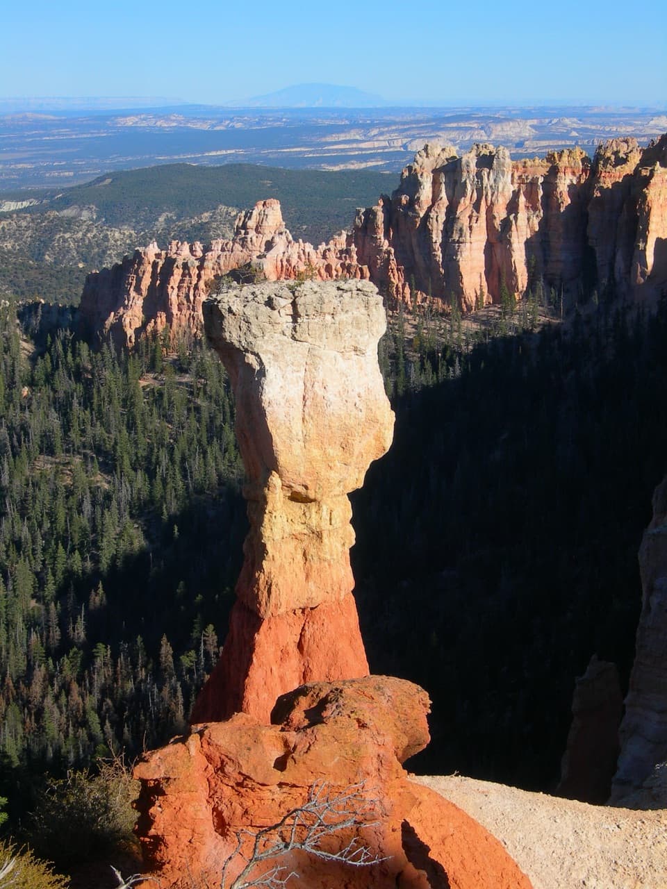
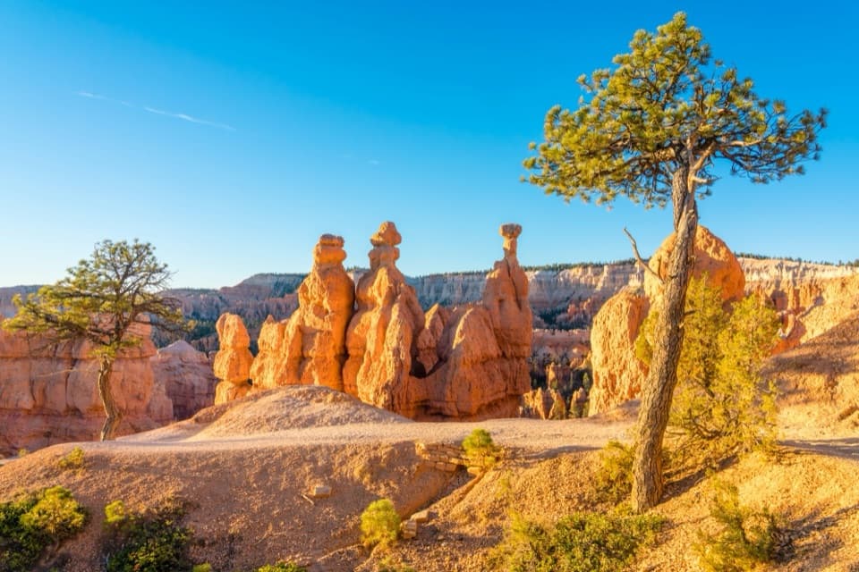
The view opens across Fairyland Canyon and its hoodoos, with Boat Mesa rising to the south and the northern end of Paria Valley beyond the rim. For a layered photo, keep a few hoodoos in the foreground and Boat Mesa behind them; walk a short way down the trail for a clearer look north into the valley.

The loop starts hereFairyland Point is also the trailhead for Fairyland Loop, an 8-mile strenuous circuit with…

Fairyland Point is also the trailhead for Fairyland Loop, an 8-mile strenuous circuit with about 1,900 feet of climbing. Allow 4 to 5 hours. The loop alternates between the plateau rim near Boat Mesa and the canyon below, with long views over Bryce’s hoodoos. The park recommends hiking counter-clockwise. There is no shuttle pickup here, so you must finish the loop on foot; dogs are not allowed on the trail.

Hoodoos still taking shapeFairyland’s hoodoos are younger than those in the main Bryce Amphitheater.

Fairyland’s hoodoos are younger than those in the main Bryce Amphitheater. Erosion working in from the Paria River has reached this northern stretch more recently, and the canyon is still developing as water wears the plateau back. That gives Fairyland a different feel: the formations are part of an active edge, not a finished wall of spires.

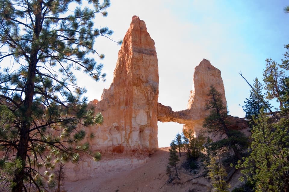
The fault and Sinking ShipThe pink cliffs are iron-stained mudstone of the Claron Formation; lower down, the grey cliffs…

The pink cliffs are iron-stained mudstone of the Claron Formation; lower down, the grey cliffs expose marine shale. The Paunsagunt fault dropped the plateau’s eastern edge toward those softer rocks over roughly 20 million years, while seasonal streams cut the amphitheaters into the pink layer. Look east for Sinking Ship, a block tilted about 30 degrees at the boundary between the two cliff layers. Table Cliff across the valley stands near 10,000 feet and preserves the same rock layer without that drop.

Boat Mesa and Campbell CanyonBoat Mesa rises to 8,073 feet just south of the viewpoint.

Boat Mesa rises to 8,073 feet just south of the viewpoint. Its resistant cap is conglomerate—pebbles and rock carried by streams after the freshwater lakes that formed the Claron layers had disappeared. Beyond it, Campbell Canyon is a hoodoo graveyard: the spires have weathered away into multicolored clay mounds. You can reach the canyon on Fairyland Loop or Tower Bridge Trail, or see part of it from the Rim Trail.

Meadows to the westWest of the point, ponderosa pines grow on low hills between grass- and sage-covered meadows.

West of the point, ponderosa pines grow on low hills between grass- and sage-covered meadows. Pronghorn and mule deer may be seen there; mountain lions are present only rarely.

Wildlife

Wildlife in Bryce Canyon

All Bryce Canyon wildlife maps

Sighting maps show where each species has been reported across Bryce Canyon. Wildlife moves, so no sighting is guaranteed.

Keep exploring

Near Fairyland Point

See it all on the map

Trails nearby

More stops nearby

Parkwolf’s Bryce Canyon ranking

Top sights in Bryce Canyon

All 41 places
  1. 1Bryce PointSight
  2. 2Sunset PointSight
  3. 3Inspiration PointSight
  4. 4Thor’s HammerSight
  5. 5Sunrise PointSight
  6. 6Natural BridgeSight

Take Parkwolf to Bryce Canyon.

The audio tour guide for the drive, plus offline maps, trails, and wildlife heatmaps for when the signal drops.

4.7 from 8,600+ ratings

Download Parkwolf on the App StoreGet Parkwolf on Google Play