
Place · 0 mi away
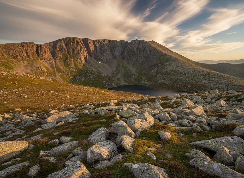
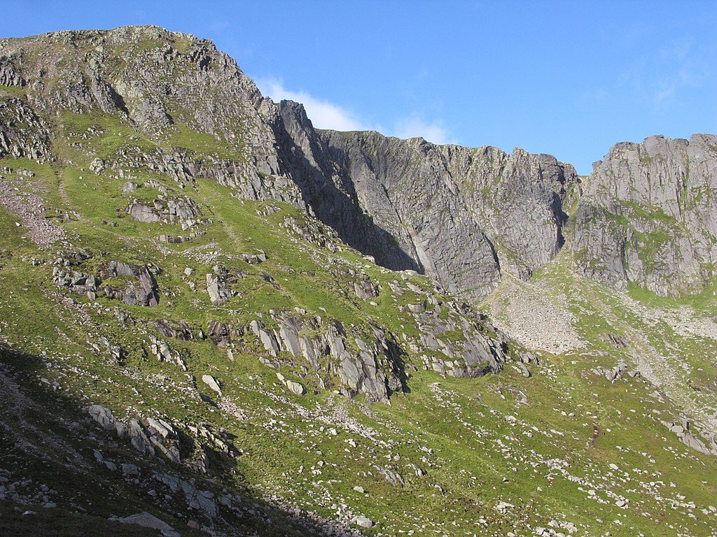
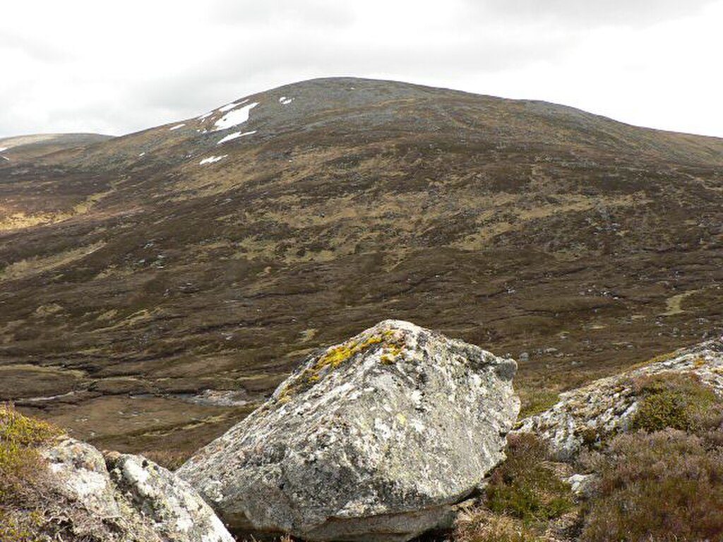
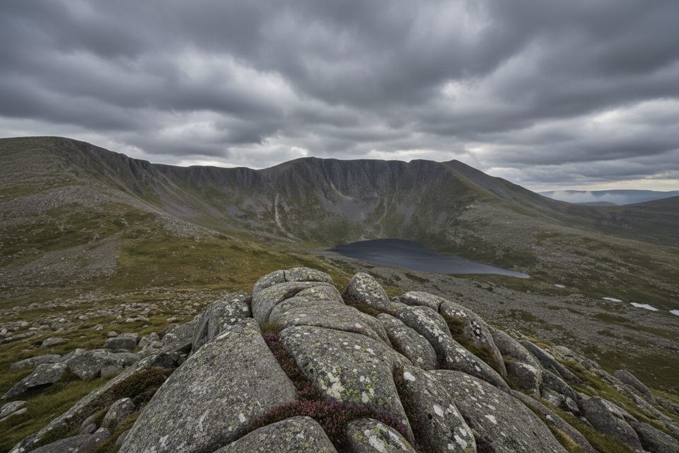
Cac Càrn Beag is the highest point of the Lochnagar massif, rising to 1,155 meters. The Gaelic name cheekily translates to “small cairn of faeces,” but the mountain is anything but a joke: it’s a grand, high plateau ending in sheer cliffs and a famous corrie that drops toward Loch Muick.
From the summit cairn you get big, open views across Deeside and the Cairngorms, with the dramatic Lochnagar corrie just a cautious step back from the rim. On a clear day, you’ll feel like you’ve got half of the east Highlands laid out around you.
Most walkers tackle Lochnagar from Spittal of Glenmuick. Expect roughly 18 km with about 950 m of ascent and a 6–8 hour round trip. It’s a solid outing—no quick hike—in wild, high country. The summit area is exposed and often windy.
Keep an eye out for red deer, mountain hares, and ptarmigan on the plateau. Birders sometimes report golden eagles overhead. In summer, the harsh, high-altitude environment supports delicate arctic–alpine plants tucked into the gravel and granite.
There are no facilities on the mountain—no water points, shelters, or restrooms. The high plateau can be confusing in poor visibility, and steep ground near the corrie rim is hazardous, especially in winter conditions. Treat this as a serious mountain day with full hill kit.
Clear summer weekdays are the sweet spot if you want quieter paths and big views; fine-weather weekends can be busy. Start early for space on the route and plenty of daylight. Winter is superb but only for those with the skills and equipment to handle snow, ice, and navigation on a featureless plateau.
Place · 0 mi away
Place · 1.1 mi away
Place · 2.2 mi away
Place · 2.4 mi away
Challenging · 4.2 mi away
Moderate · 4.2 mi away
Challenging · 5.6 mi away
Easy · 5.6 mi away

Parkwolf Tour Guide
