

Place · 0.8 mi away

Dun da Lamh is a dramatic Pictish hillfort perched on Black Craig above Laggan, at the west side of the park. The Gaelic name means Fort of the Two Hands, and it fits: the fort sits on an almost impregnable crag with sweeping views in all directions. It’s a Scheduled Monument, and you’re walking into deep time here—early Pictish, possibly Iron Age.
A signed, waymarked footpath leads through woodland before climbing diagonally up Black Craig to meet the fort’s outer wall. Look for blue waymarkers indicating Hilltop/Fort. At a bealach (saddle), a left detour gains the summit enclosure, then you can return to the junction to continue the loop.
This is one of the earliest Pictish-period forts, set to dominate movement through the glen. The ramparts outline a sizable enclosure, with features like a probable northern entrance and later cairns built on the wall rubble—small details that make the archaeology feel alive.
The approach mixes plantation woodland and open crag, typical Highland edge habitat. Expect woodland birds in the lower sections and open-country species on the upper slopes; red deer and raptors are possible in this landscape.
There are no toilets, shelters, or water points—this is a wild, exposed summit. Paths are clear and waymarked, but the final climb is steep and rough underfoot. In poor visibility, the crag can feel committing; carry a map/GPS and dress for changeable Highland weather.
Pick a clear, calm day to make the most of the long-range views and to avoid the worst of the wind on the summit. It’s a quieter objective than the park’s headline walks, so solitude is common year-round.
It’s a protected Scheduled Monument. Enjoy the ramparts from solid ground; don’t climb on wall tops or move stones.
Place · 0.8 mi away
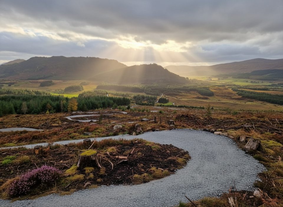
Place · 0.8 mi away
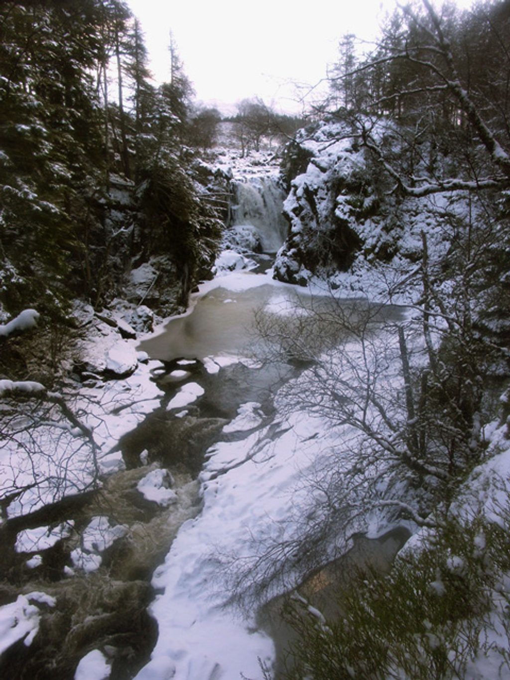
Place · 1.9 mi away
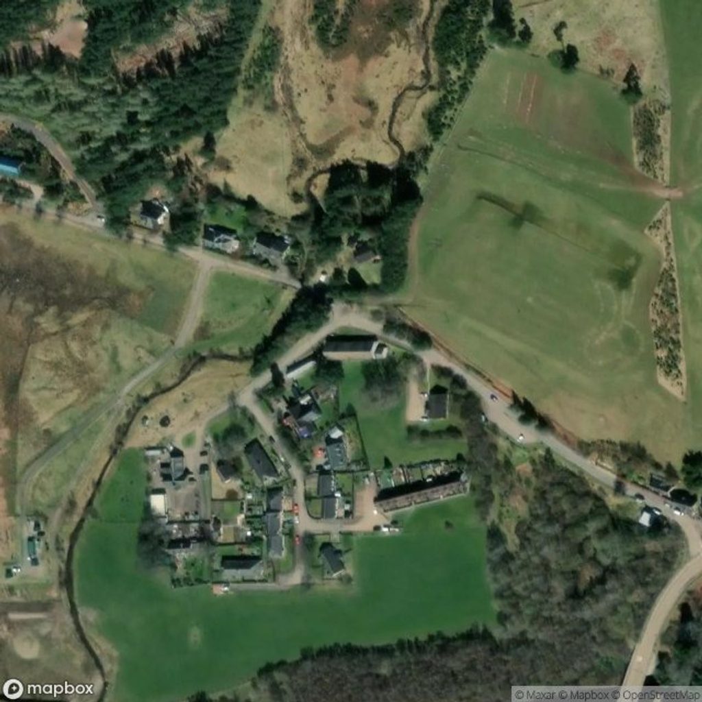
Place · 2.1 mi away

Moderate · 0.8 mi away

Easy · 0.8 mi away
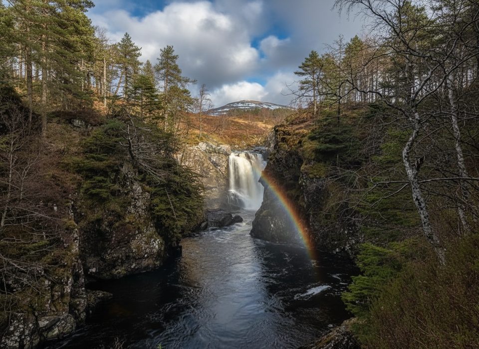
Easy · 1.9 mi away

Easy · 6.1 mi away

Parkwolf Tour Guide
