Parking
Use the layby on the north side of the A86, about 70 m east of the Gallovie Farm track junction; walk back along the road to the track entrance.

Cairngorms National Park, SC
A woodland climb reaches the upper falls in a rocky gorge.
Overview
Map & elevation
Plan your hike

The highest, rockiest slopes around here are a summer buffet for grizzly bears.
Cairngorms Tour Guide
Parkwolf is a GPS audio tour guide for Cairngorms National Park. As you drive, it chimes in with what’s ahead: hidden gems, upcoming stops, history, geology, and wildlife, right through your car’s speakers.
See the Cairngorms audio tourRecorded for this trailhead
Upper Falls of Pattack from Gallovie“You're nearing the Gallovie starting point for the upper Falls of Pattack. A steady climb through woodland leads to viewpoints into the rocky gorge.”
Plays as you drive up to this trailhead in the Parkwolf Cairngorms Tour Guide.
More stories near here in the app
“Fantastic app with many points of information… It’s great to just turn on while you’re driving and it gives you an audio tour of the national Park. We love it!!!!”


Trail guide
This is a roughly 2.8-mile (4.5 km) out-and-back from the A86 layby by Gallovie to the upper Falls of Pattack. It climbs mostly on a farm track before a rougher woodland path reaches the rocky gorge. Allow about 1.5 hours, plus time at the viewpoints; the climb is steady rather than strenuous, with roughly 100 m of ascent.
Use the layby on the north side of the A86, about 70 m east of the Gallovie Farm track junction, then walk back along the road to the track entrance. Take the first right, pass the vehicle barrier and turn left at the next junction toward Gallovie. The track rises through trees and past the farmhouse and steading; follow the blue waymarkers after the gate.
At the pedestrian gate and sign opposite a turning area, leave the track on the left into the forest. Ignore the left-hand fork and follow the main path as it curves to the gorge rim for a view down toward the falls. A short branch gives a view up the gorge. Return to the main path and retrace the route to the layby.
The final path is narrow and rough and can be slippery. The gorge edge is unfenced, so stay well back. The approach includes a short walk beside the A86. Dogs are welcome; keep them close to heel or on a short lead, particularly near livestock and ground-nesting birds from April through August, and follow local signs.
Wildlife
 159 sightingsRed DeerMost seen around 7 AMSighting map
 63 sightingsReindeerMost seen around 6 PMSighting map
 102 sightingsOspreyMost seen around 5 PMSighting map
 37 sightingsBlack GrouseMost seen around 4 AMSighting map
 72 sightingsRed GrouseMost seen around 6 PMSighting map
 82 sightingsPine MartenMost seen around 9 PMSighting map
Sighting maps show where each species has been reported across Cairngorms. Wildlife moves, so no sighting is guaranteed.
Keep exploring
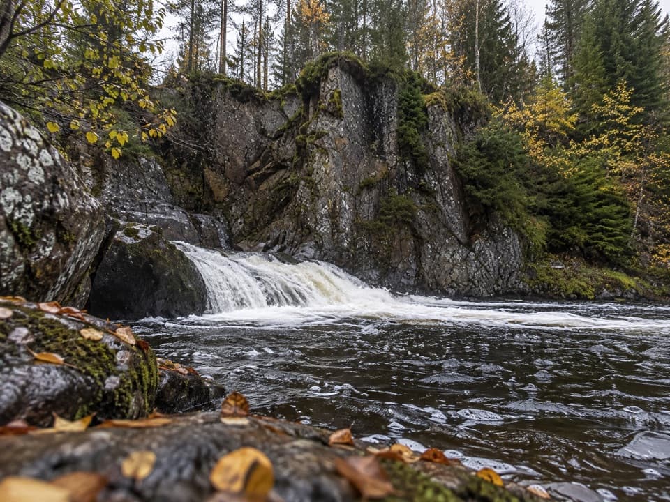 EasyLower Pattack Falls Stroll0.2 km · 15 min · 1.2 km awayA short woodland path to the Pattack’s lower cascade.
 ModerateDruim an Aird Township Trail4.4 km · 1.8 hr · 1.3 km awayFollow yellow markers through woodland to a ruined township.
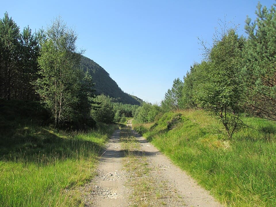 ModerateMaria Mahria Way4.5 km · 4 hr · 2.3 km awayA rough rural track linking the A86 and the old Corrieyairack route.
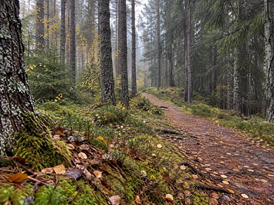 ModerateSpruce and Squirrel Trail, Laggan2.2 km · 45 min · 4.5 km awayFollow red waymarks and look for pine cones nibbled by squirrels.
 ModerateDun da Lamh Fort Trail7.2 km · 3 hr · 4.5 km awayClimb Laggan woodland to an Iron Age fort with wide Highland views.
 ChallengingGlen Markie Track25 km · 8.5 hr · 4.7 km awayLaggan’s old northbound track becomes a rough 25 km crossing.
 ChallengingGeal Chàrn from Garva Bridge12.5 km · 5.5 hr · 5.8 km awayA remote Munro with boggy ground and a long, broad summit plateau.
 ModerateGorstean Trail4.2 km · 1.5 hr · 6.4 km awayA firm gravel forest path shared with mountain bikers
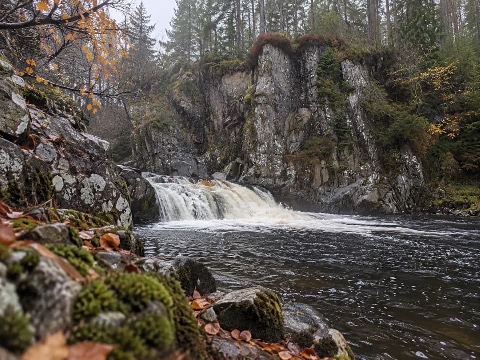 Sight · 1.2 km awayPattack FallsShort woodland walk to cascades in a rocky gorge.
 Sight · 4.4 km awayLaggan WolftraxOver 20 forest miles, from beginner greens to one unforgiving black.
 Sight · 9.4 km awayDalwhinnie DistilleryWhisky tours and tastings at a Highland distillery 355 metres up.
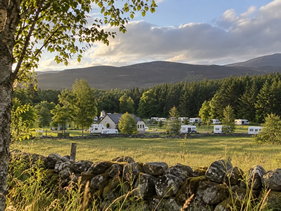 Campground · 14.1 km awayInvernahavon Caravan ParkRoomy pitches, hot showers and wooded Highland views.
Parkwolf’s Cairngorms ranking

The audio tour guide for the drive, plus offline maps, trails, and wildlife heatmaps for when the signal drops.





