
Place · 0 mi away
Moderate
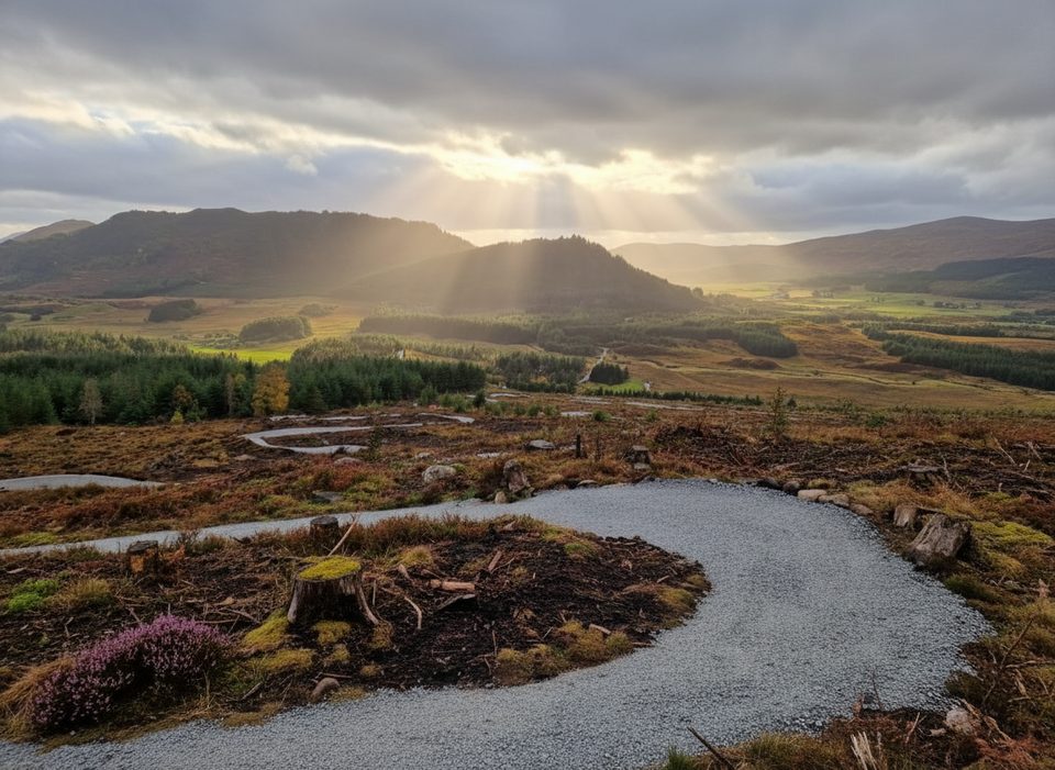
This waymarked walk climbs through the Black Wood above Laggan to the Iron Age hillfort of Dùn da Làmh. Expect a mix of easy forestry tracks and a rougher, steeper final pull to the summit ramparts. Most walkers will call it a moderate effort with a big history payoff. The usual route is a loop with a short signed spur to the fort; plan on about 5.6 miles total for the loop plus the fort detour.
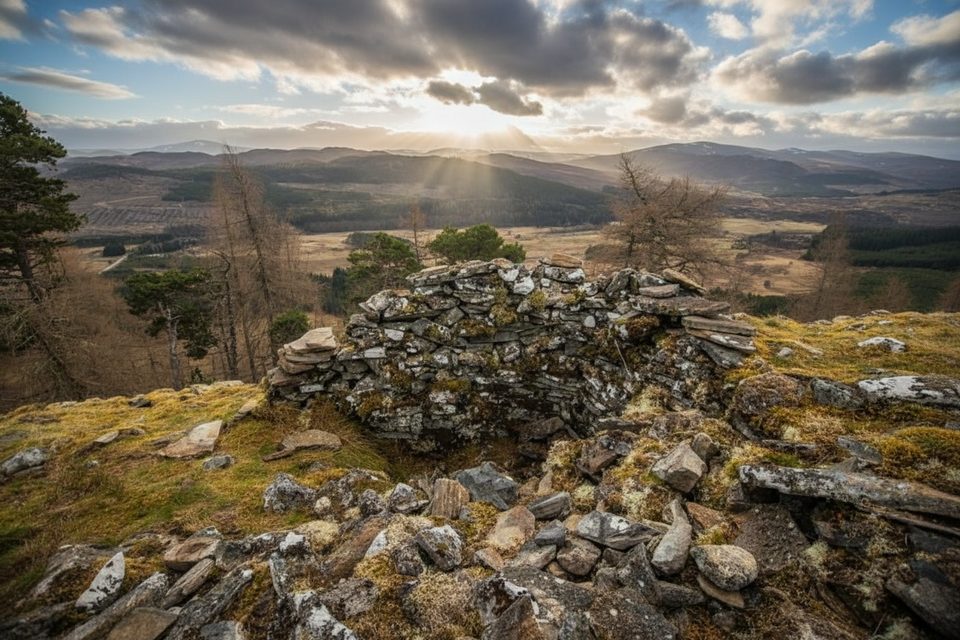
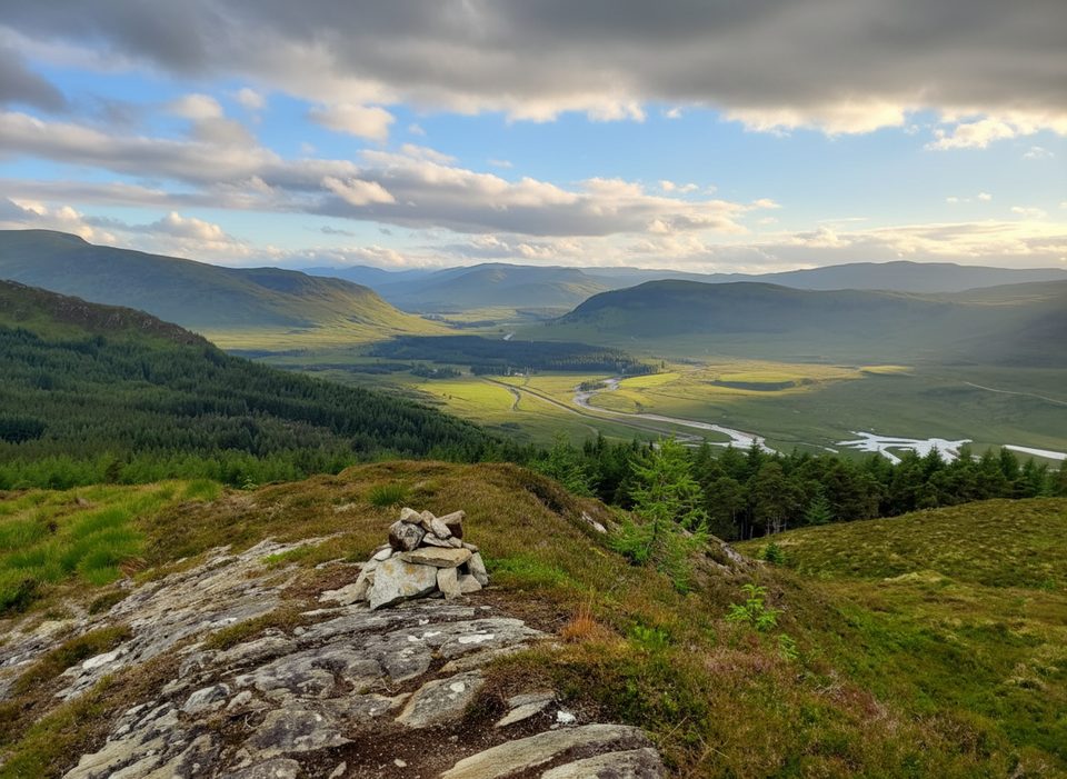
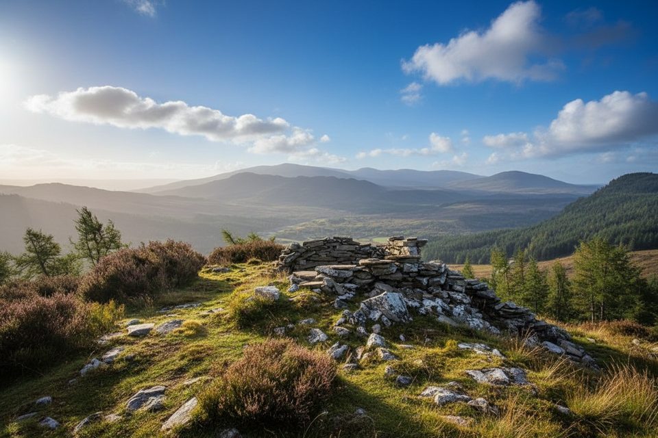
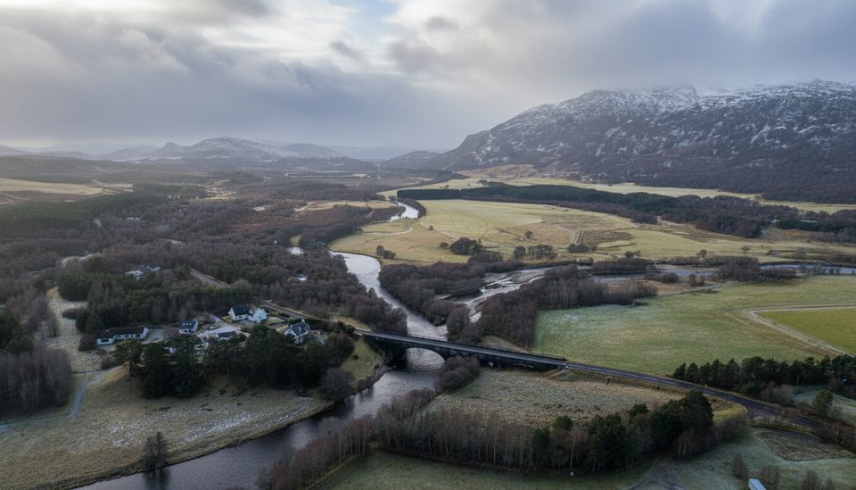
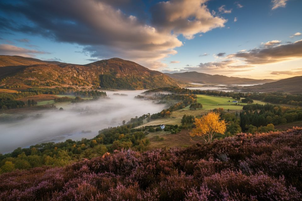
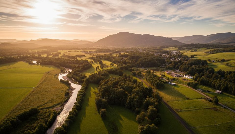
The woodland approach opens periodically to wide views, building to a superb panorama over Strathspey from the fort’s commanding perch. Up top, the fort’s lichen‑cloaked stone ramparts are substantial and easy to trace—this is one of the Highlands’ more impressive surviving hillforts. On the way, look for small details: a disused quarry beside the track and a reedy lochan that marks a key junction.
Follow blue waymarkers and signs for “Hilltop / Fort.” After an initial brushy path (you may need to push through vegetation briefly), you’ll join good forest tracks. Near a small lochan, turn left at the sign; later, at a broad bealach, take the signed spur left to visit the fort. The final approach is steeper, narrower, and uneven underfoot. Return to the bealach to complete the loop on easier tracks.
Dùn da Làmh is a scheduled ancient monument, likely a Pictish‑era stronghold. Massive stone ramparts enclose the summit, and their scale makes the defensive logic obvious the moment you step inside. In places, interpretation and even augmented‑reality reconstructions have been used to help visualize how the site may have looked—worth exploring if available during your visit.
Watch for Red Deer moving through the forest margins, Pine Marten sign in the woods, and Common Buzzards circling overhead. Woodland stretches feature Scots pine and birch; higher up, heathery slopes lead to the rocky knoll crowned by the fort.
For photos, early or late light rakes across the ramparts and the Strathspey views.
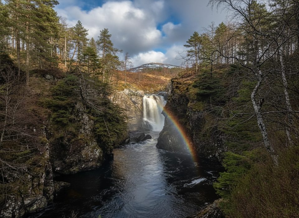
If you want more after this, nearby options include the Glentruim Forest paths or the Falls of Pattack for an easy add‑on.
Park at the Laggan Wolftrax Mountain Biking Centre car park near Laggan; café and toilets operate seasonally.
Waymarked but easy to miss turns among forest tracks; expect a short brushy section and a steep, rough final climb to an exposed summit—wind, ice, or snow can make it hazardous. Keep dogs under close control around livestock and ground‑nesting birds.
Place · 0 mi away
Place · 0.6 mi away
Place · 0.8 mi away
Place · 1.8 mi away
Easy · 0 mi away
Easy · 2.1 mi away
Easy · 5.4 mi away
Easy · 8.6 mi away

Parkwolf Tour Guide
