
Place · 0 mi away
Easy

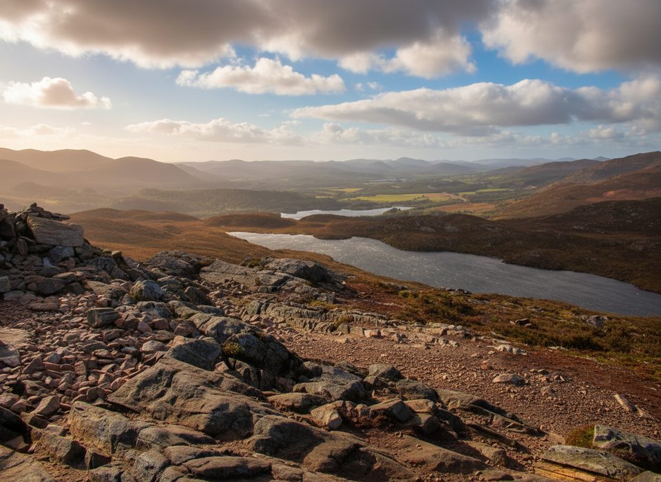
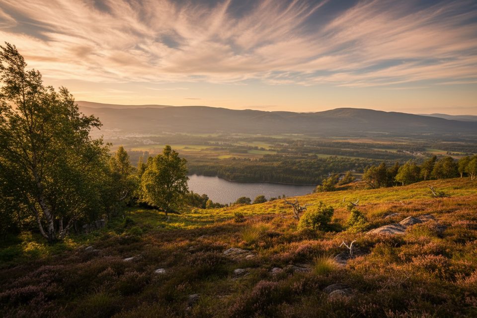
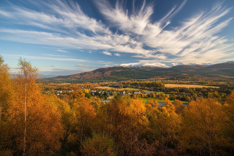
This waymarked route climbs from the edge of Aviemore into Craigellachie National Nature Reserve, swapping town bustle for birchwoods, quiet lochans, and craggy slopes in minutes. The headline is the summit viewpoint over Aviemore, the Spey, and the Cairngorm plateau—big views for a small effort.
The full Viewpoint Trail is a roughly 2.7-mile total loop (the reserve’s longest marked option) that tops out on the crags above town. Expect mostly good paths with a steeper, rockier push near the top. If you want something gentler, stick to the three lower, shorter loops (about 0.7–1.8 km) around the lochans and birchwoods, or skip the uppermost section to keep things easier and quicker. Typical time for the full viewpoint outing is about 1–1.5 hours, depending on stops and conditions.
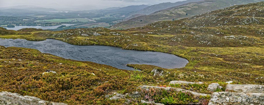
Down low, you’ll wind through high‑quality birchwood and pass mirror‑calm lochans—prime spots for a breather and a look for seasonal wildflowers and butterflies. Higher up, the landscape tilts to dramatic crags and open views. Keep an eye on the cliffs: peregrine falcons are known to use the crags here—great reason to pack binoculars and give wildlife space.
It’s a tidy sampler of Cairngorms character: tranquil water, airy rock, and sweeping horizons—without leaving town. The transition from sheltered woodland to exposed crag happens fast, so expect a noticeable change in wind and temperature as you climb. Navigation is simple thanks to clear waymarking and info boards at key junctions.
Wear sturdy footwear—the upper section can be rough and slippery when wet or icy. Weather flips quickly; carry layers for the breezy summit. If the top is clagged in or the wind is howling, lap the lower loops and save the viewpoint for a clearer day. Facilities are in Aviemore; there are none on the trail itself.
Year‑round is fair game. Spring and summer bring lush woodland and long daylight; autumn lights the birchwoods gold; winter can deliver crystal‑clear views but also ice and snow on the crags. Early morning or late afternoon gives softer light on the lochans and the Cairngorms skyline. Dogs should be under close control, especially April–July when birds are nesting.
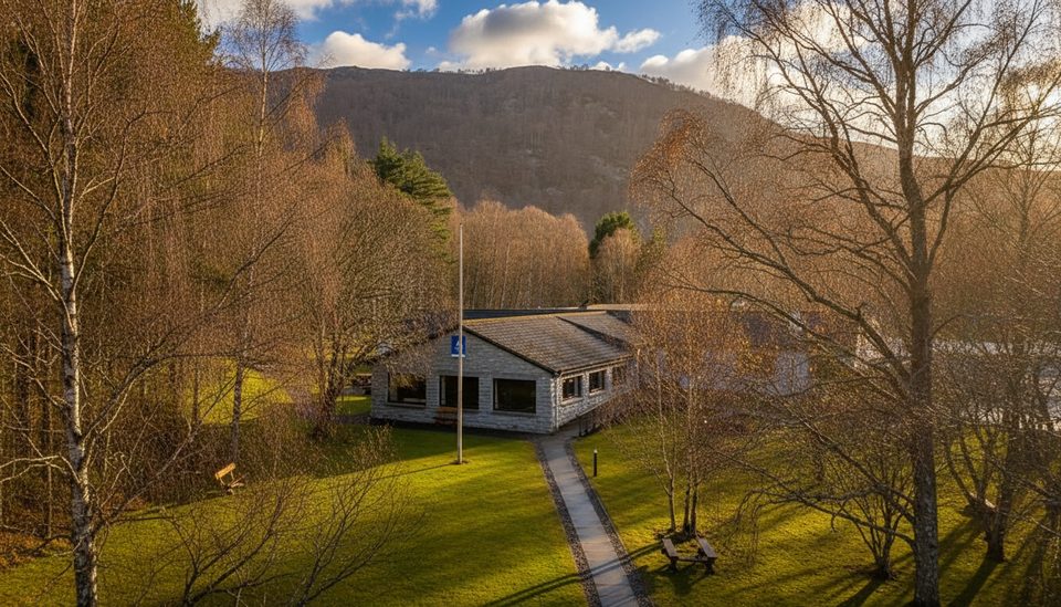
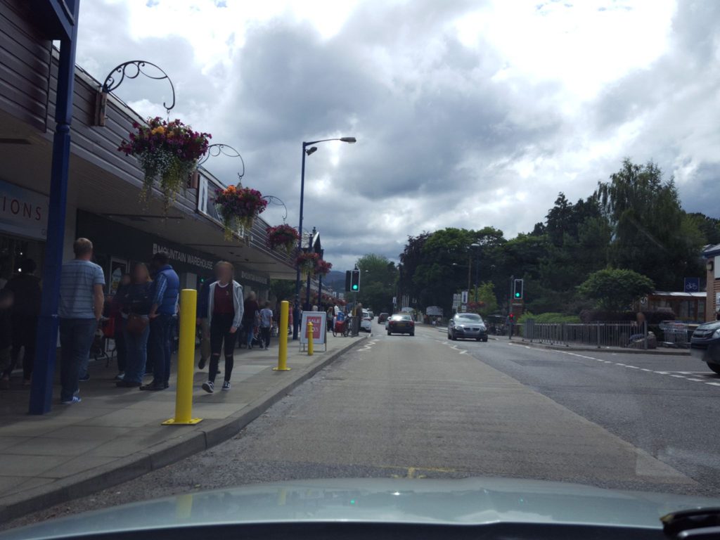
Walk from central Aviemore; the reserve entrance is by the Aviemore Youth Hostel at the south end of town.
Steep, rocky upper section; expect ice or snow in winter. Weather shifts fast—carry layers. Keep distance from nesting peregrines (April–July) and control dogs.
Place · 0 mi away
Place · 0 mi away
Place · 0 mi away
Place · 0.1 mi away
Easy · 0 mi away
Easy · 0 mi away
Moderate · 0.4 mi away
Easy · 0.8 mi away

Parkwolf Tour Guide
