Place · 0 mi away
Moderate

The East Highland Way is an 82-mile (132 km) point-to-point journey from Fort William to Aviemore, finishing in the heart of Cairngorms National Park. It’s a quieter, wilder counterpart to Scotland’s headline routes—expect solitude, big landscapes, and a real sense of self-reliance. There are no major ascents, but some days are long and remote, and the route is largely un-waymarked, so navigation matters.
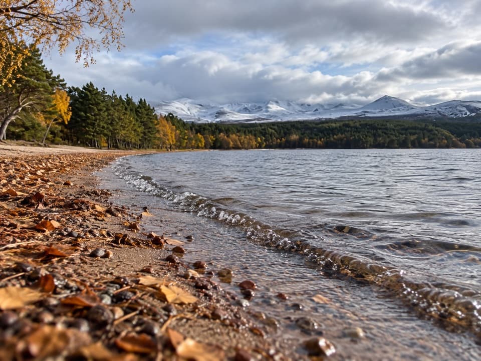
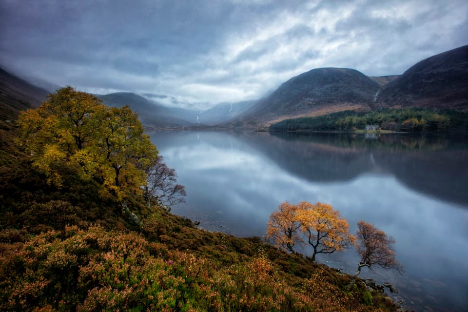
You’ll thread through classic Highland variety: ancient Caledonian pinewoods (including Inshriach Forest), broadleaf woodlands, open moorland, serene lochside paths, and rugged glens. Early on you walk under Ben Nevis, skirt the Grey Corries, pass the wild massif of Creag Meagaidh, and finish beneath the sub‑Arctic plateau of the Cairngorms. Loch Laggan offers Britain’s largest freshwater sandy beach—an unexpectedly tranquil interlude. The route also features dramatic water landscapes like Monessie Gorge on the River Spean and upper reaches of the River Spey.
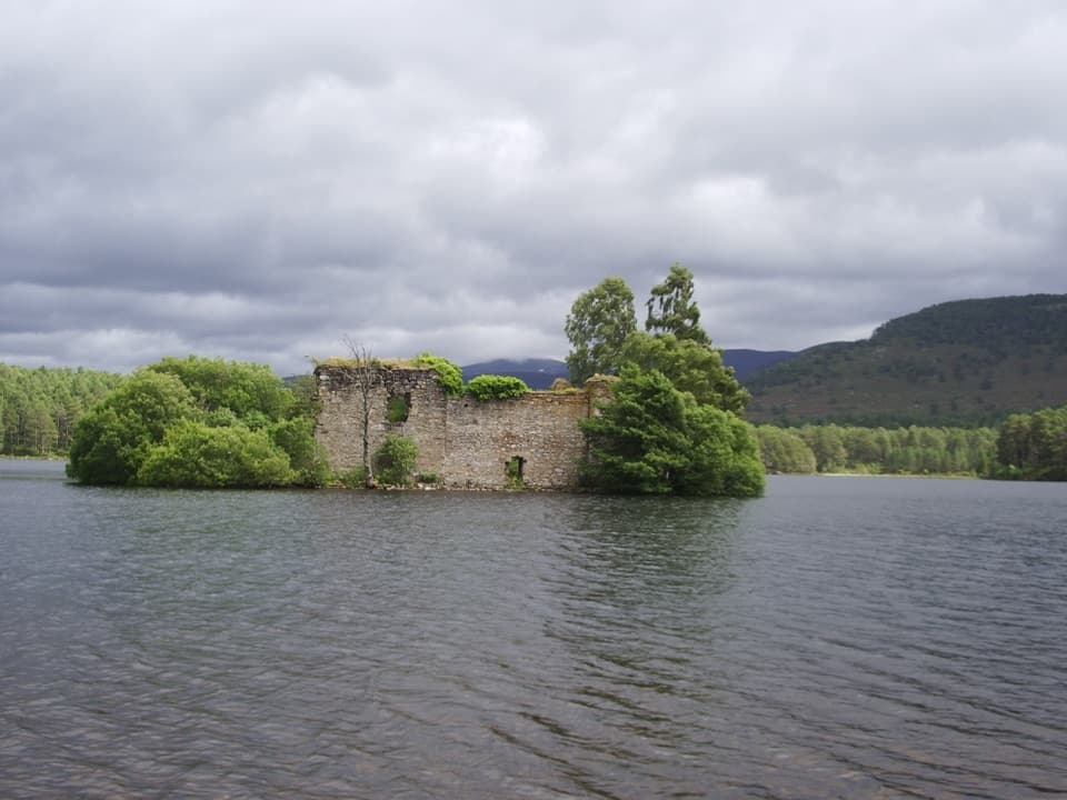
History buffs won’t be bored: detours or views to Fort Dun da Lamh (a Pictish hillfort), the stark ruins of Ruthven Barracks, and the island castle on Loch an Eilein punctuate the wild miles.
This is a deliberately low‑key, mostly un-waymarked route. Some stretches are pathless, and three river crossings in Glen Banchor can become impassable after heavy rain (use the alternative road/cycle route if levels are high). Surfaces range from forest tracks and moorland paths to short tarmac sections. The trail passes through villages with accommodation, cafes, and shops, making inn‑to‑inn walking feasible if you plan ahead.
Keep an eye out for red deer moving across the moors and ridgelines, and scan the sky for golden eagles. Near Newtonmore you might notice signs of the elusive Scottish wildcat. Geologically, you’re traversing glacially carved valleys and ancient granite massifs, with remnants of the Caledonian Forest tying the journey together.
Overall difficulty lands in the moderate range: no big climbs, but sustained days, remote sections, and navigation challenges. If you enjoy solitude, varied scenery, and a touch of adventure without peak-bagging, this is a top pick. If you prefer well-waymarked paths and frequent facilities, consider a different route.
Spring through early fall offers the best balance of daylight, conditions, and fewer midges than late summer. Winter is possible for experienced, self‑sufficient walkers only—river levels, weather, and short days raise the commitment level.
Length above is the total end‑to‑end distance; this is not a loop.
Point‑to‑point between Fort William and Aviemore; plan vehicle logistics at either end—no dedicated parking info provided for the route itself.
Mostly un‑waymarked; long remote sections far from roads. Three river crossings in Glen Banchor can be hazardous or impassable after heavy rain—use the alternative route when levels are high.