
Place · 0 mi away
Challenging
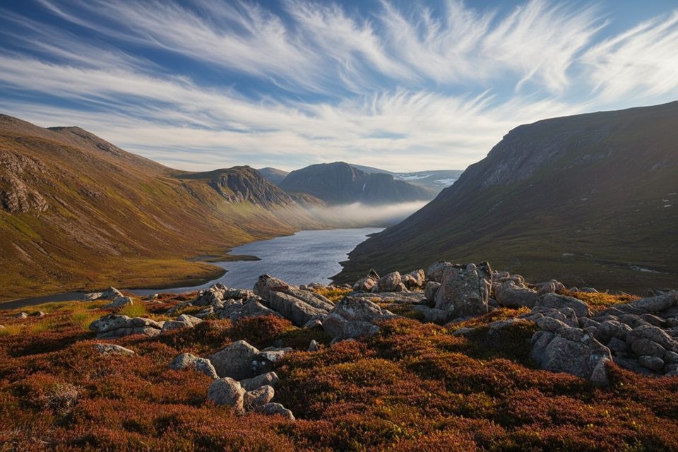
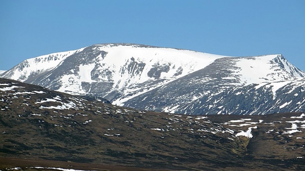
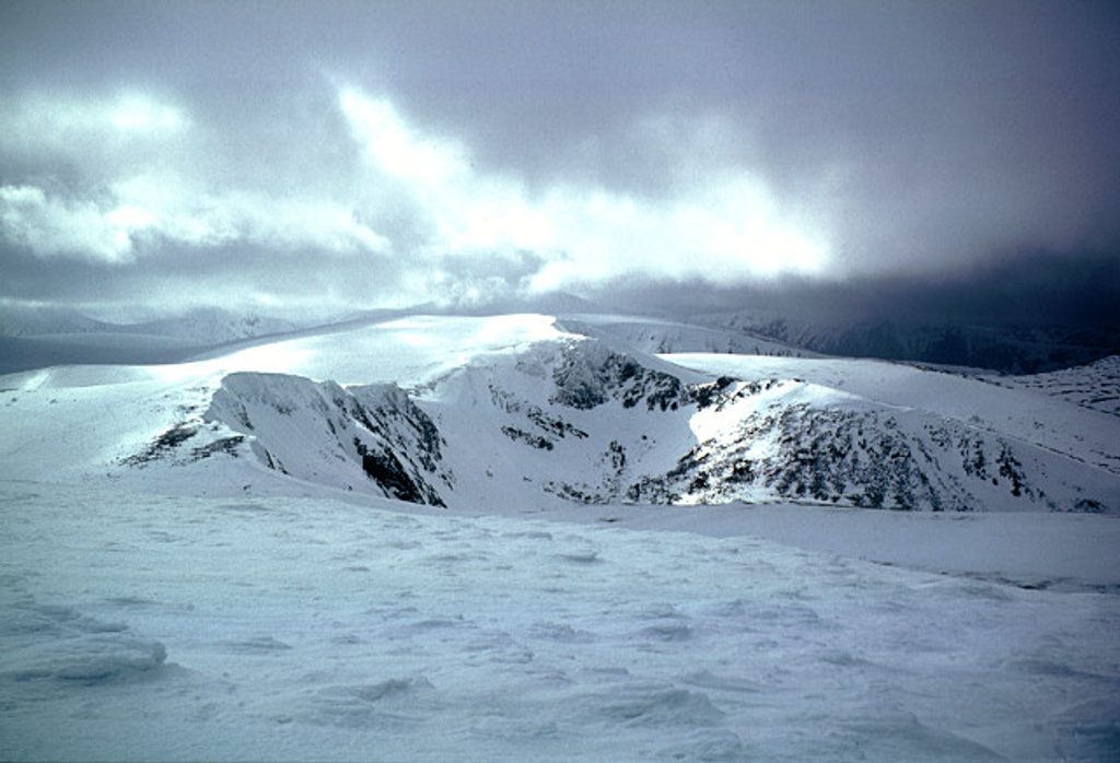
This is a committing high‑mountain loop from the Cairngorm Ski Centre car park that drops into the spectacular glacial trench of Loch Avon (often pronounced “A’an”) before clawing back to the plateau. Expect sweeping, barren views, steep corries, dramatic waterfalls, and a true sense of remoteness. Variants sometimes include a detour to Ben Macdui and/or a loch‑shore visit to the famous Shelter Stone. Total distance for recognized circuits varies widely — roughly 8.4–12.5 miles depending on the exact line — and the day feels bigger than the mileage suggests due to exposure, rough ground, and navigation challenges.
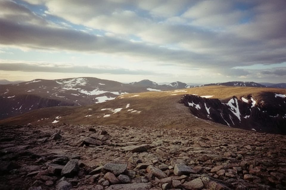
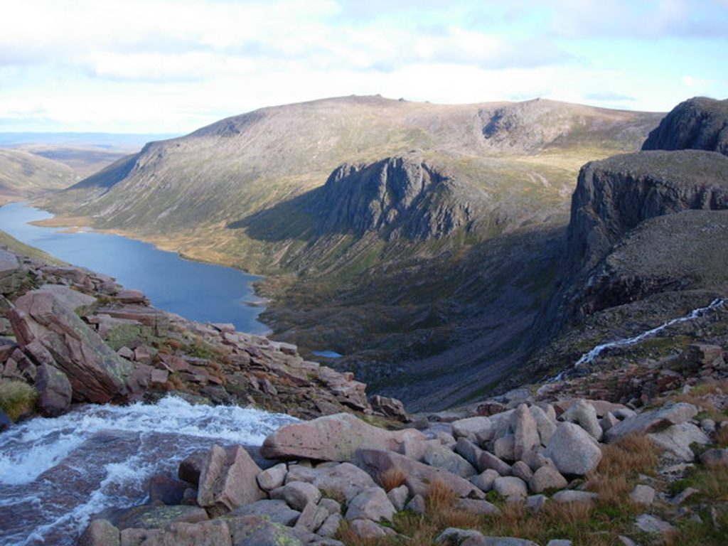
The plateau sections are windy, exposed, and unmarked in places. The crux for most people is the descent to and climb out of the Loch Avon basin: users describe near‑vertical, loose ground by a waterfall where the path fades, with hands‑on scrambling and poor footing. It’s serious, especially in the wet or when streams are running high. Around the loch you’ll find boulder fields and that signature amphitheatre of cliffs. Wildlife here skews arctic‑alpine: look for ptarmigan and mountain hares on higher ground, with deer moving through the basins.
Experienced hillwalkers who relish rough, steep mountain terrain and real route‑finding will have a field day; the scenery is top‑tier. If exposure, scrambling, or ambiguous paths aren’t your thing, this won’t be a fun introduction to the Cairngorms. Consider a viewpoint approach from Glenmore if you want the loch without committing to the steep descent/ascent.
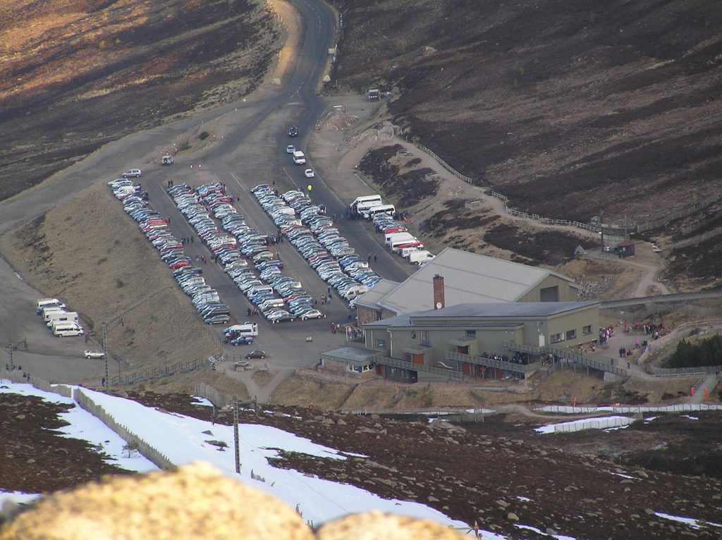
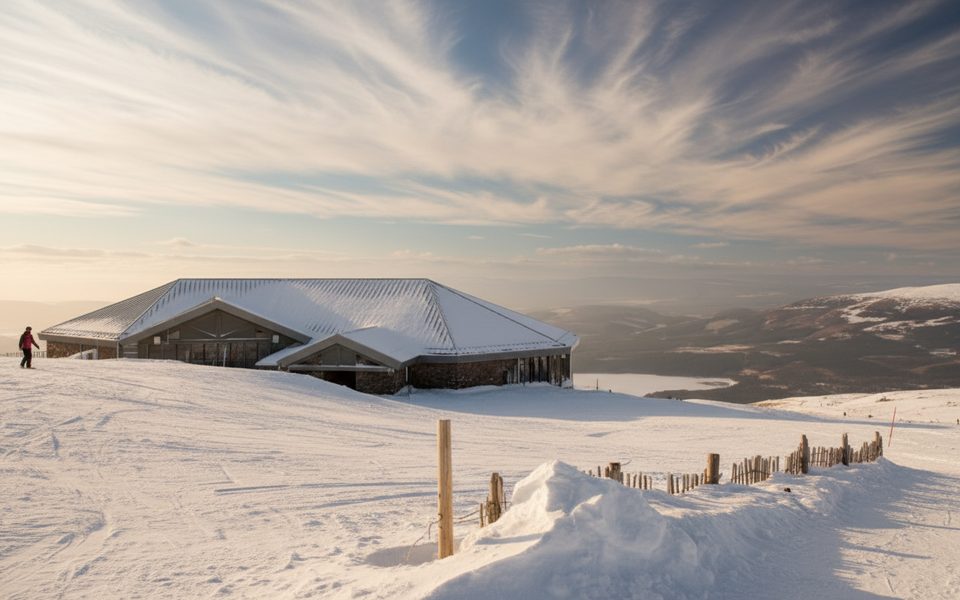
Start and finish at the Cairngorm Ski Centre car park above Glenmore (charges apply). A bus can reach the car park. Dogs have been reported on this loop, but only bring a mountain‑savvy pup you can keep tightly controlled — the ground is steep, loose, and exposed in key sections.
Late spring through early autumn in clear, dry weather is the sweet spot. Avoid or rethink the circuit after heavy rain or melt when rivers are running high, and treat winter/shoulder‑season snow and ice as a mountaineering problem. Even in summer, expect rapid weather shifts and poor visibility.
Length note: Distance varies by variant (about 8.4–12.5 miles total). The figure below reflects a fuller circuit rather than the shortest option.
Park at the Cairngorm Ski Centre car park above Glenmore; parking charges apply and a bus can reach the car park.
This is a strenuous, exposed mountain circuit with unmarked sections and a hazardous descent/ascent into the Loch Avon basin where the path disappears near a waterfall. Expect scrambling on loose, steep ground, potential river crossings, rapid weather changes, and limited phone signal. Attempt only in good conditions and with strong navigation skills.
Place · 0 mi away
Place · 0.1 mi away
Place · 1.2 mi away
Place · 1.2 mi away
Challenging · 0 mi away
Challenging · 0 mi away
Challenging · 0 mi away
Challenging · 0 mi away

Parkwolf Tour Guide
