
Place
Challenging
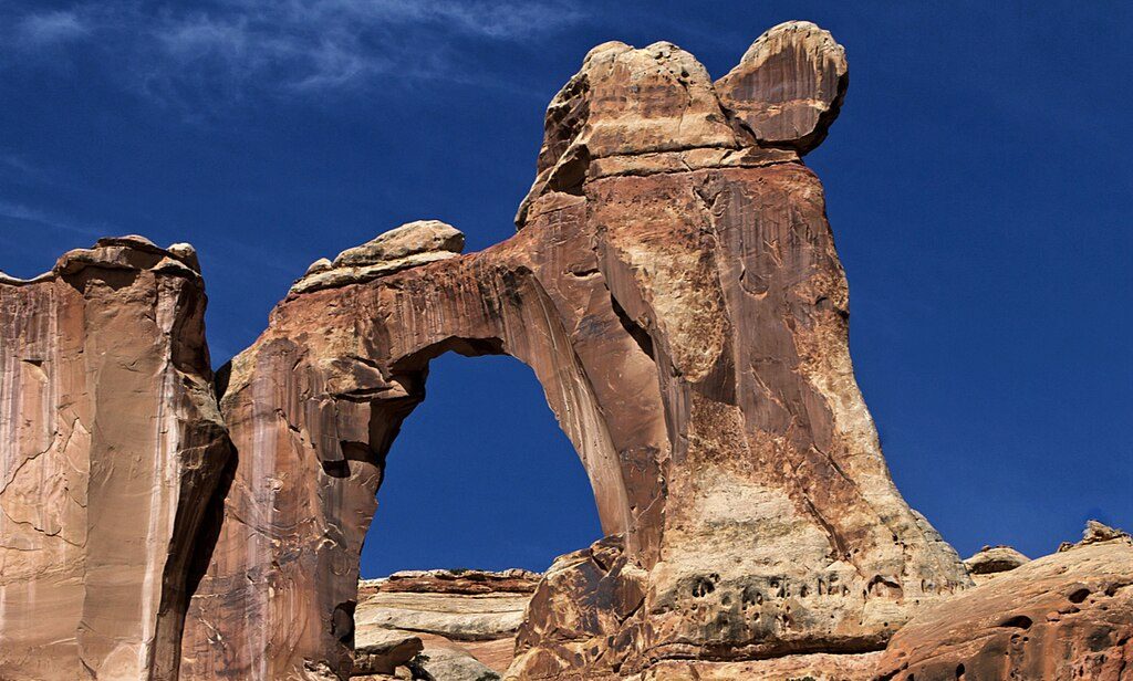
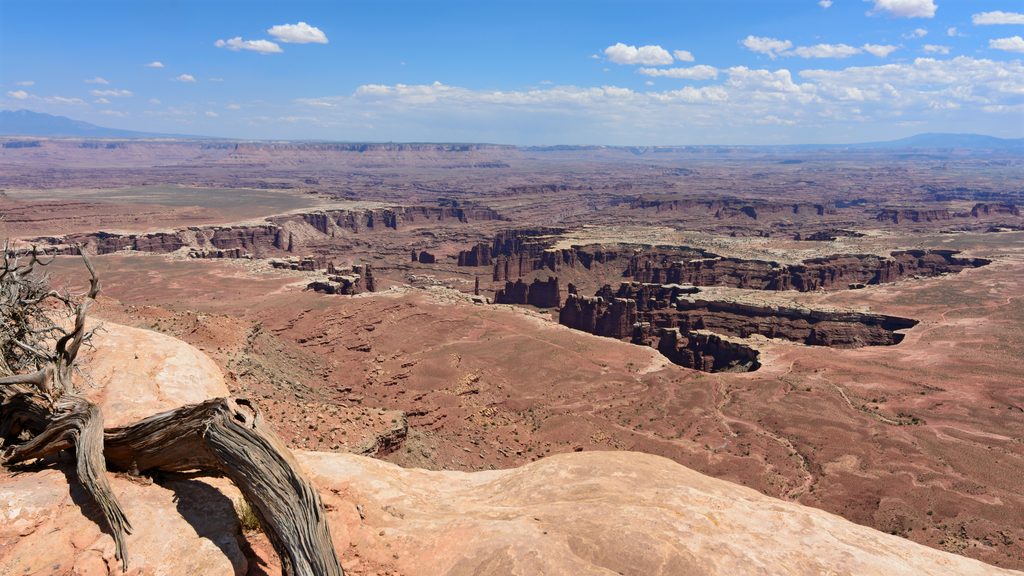
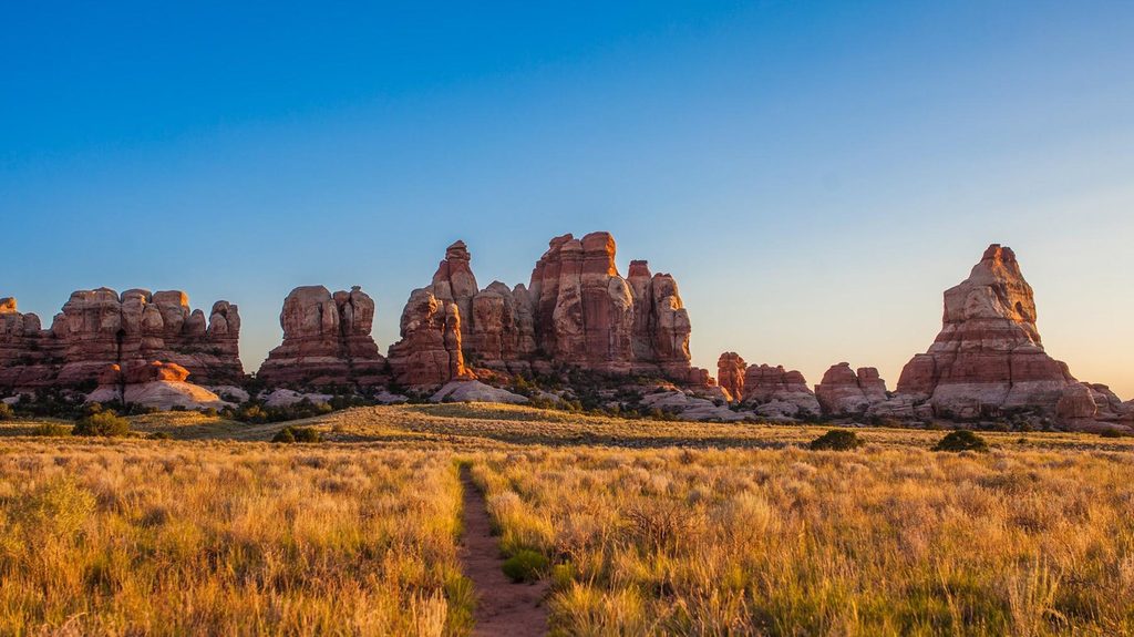
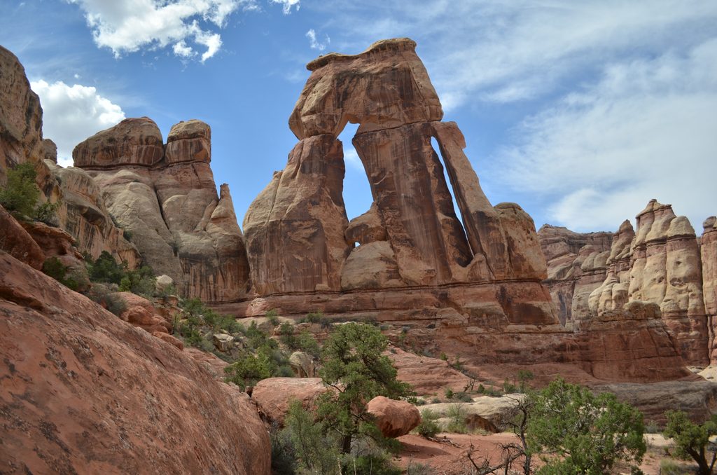
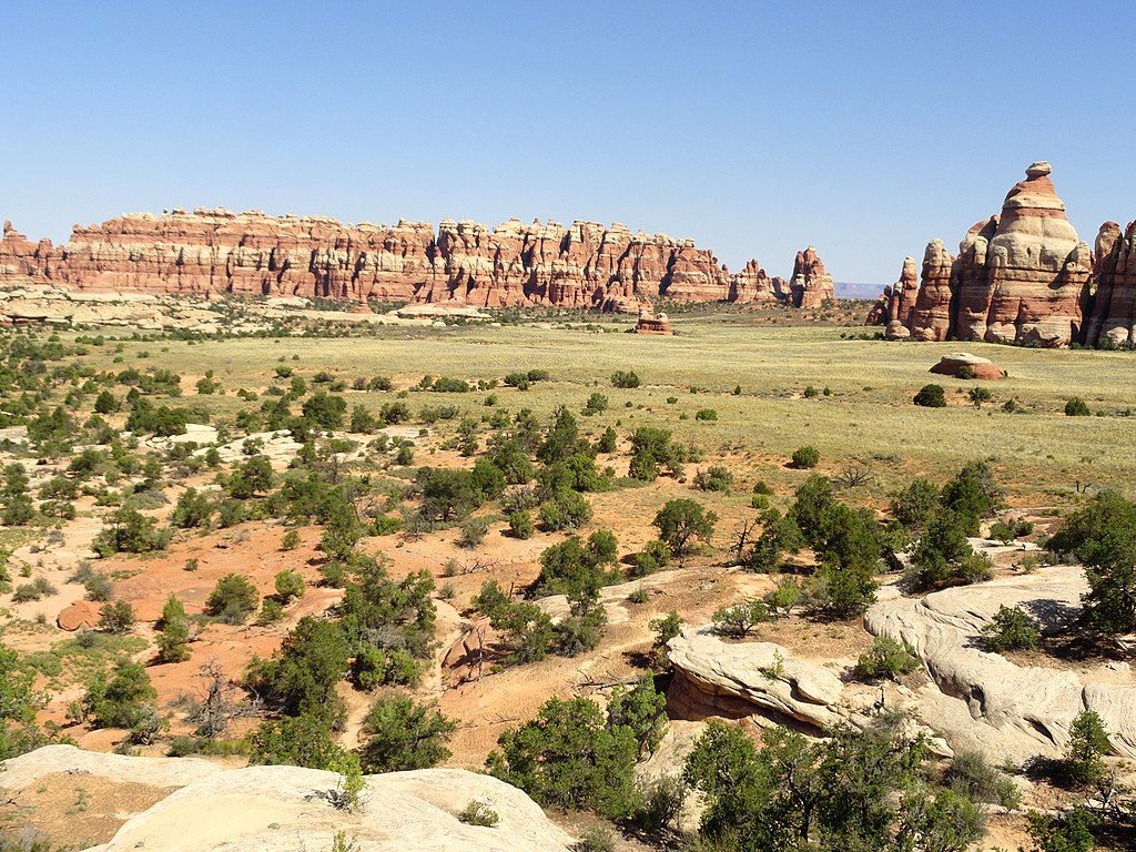
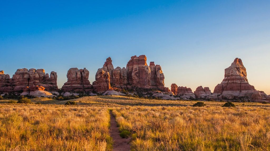
This is a big, wild backcountry route in the Needles: long miles, deep sand, and a payoff you’ll feel in your legs and your grin. Angel Arch is one of the park’s largest and most striking spans, tucked up a side canyon off Salt Creek. Expect classic Needles scenery—Navajo Sandstone domes, slickrock benches, sandy washes, cottonwood-lined corridors, and reed-choked marshy pockets—plus cultural sites that make this canyon special.
Salt Creek Canyon runs point-to-point between Cathedral Butte (south) and the Peekaboo/lower Salt Creek area (north) for roughly 22.5 miles one way. The signed spur to Angel Arch leaves the main canyon roughly mid-route; reaching the arch typically happens after 13–16 miles from the south, with about another 1–1.5 miles up the side canyon to the arch. Most hikers plan 2–3 days to visit Angel Arch as part of a backpack. Strong day hikers sometimes push to the arch and back from a chosen trailhead, but it’s a very long, hot, sandy day—budget a full day (8–12+ hours) if you try.
Angel Arch’s “angel” silhouette is the headliner, but Salt Creek is loaded with side rewards: additional arches (including near Peekaboo), springs, and significant archaeology—Barrier Canyon Style pictographs and petroglyphs, plus historic remains like Kirk’s Cabin. The canyon’s twists and turns open onto slickrock benches and big views, then drop you back into sand and sage flats under towering walls. Solitude is part of the magic—once you’re beyond popular day-hike zones, you may not see many people.
This is strenuous, with mixed terrain that keeps you honest. From Cathedral Butte, the route immediately drops nearly 1,000 feet in the first couple miles, then undulates along the canyon bottom. You’ll alternate between sandstone, deep sand, wash crossings, brushy sections that can require light bushwhacking, and short scrambles. Fixed aids (steel ladders) and even a clever passage through a hole in a rock fin appear on the route. The path can be faint where floods or vegetation have obscured it—bring solid navigation skills.
Backcountry camping is allowed only in designated zones and requires an advance permit. Water is scarce and seasonal—carry a filter and top off when you reach reliable springs (for example, hikers commonly refuel at Kirk Spring early in the southern approach). Treat all water. Don’t count on flowing water everywhere; plan conservative water carries.
Spring and fall offer the sanest temperatures and fewer bugs. Summer brings punishing heat and little shade; winter can layer on cold, ice, or snow. Start early for cooler temps and better lighting on the arch and canyon walls. If you’re moving through the day-hike corridor near Peekaboo, early starts also mean easier parking and thinner crowds.
Stay on durable surfaces or established paths—biological soil crust is fragile and slow to recover. Rock art and archaeological sites are protected; look, photograph, and move on—no touching or entering sites. Camp only at established sites within your permitted zone.
Start at Cathedral Butte (south) for the full descent into Salt Creek, or from the Peekaboo/Upper Salt Creek access via the Salt Flats/Squaw Flat area (north). Get there early if using the day-hike corridor near Peekaboo.
Strenuous backcountry travel with deep sand, scrambles, steel ladders, and a steep initial descent from the south. Route can be hard to follow after floods or in overgrown stretches. Water is scarce—carry a filter and plan conservative carries. Camp only in designated zones with a permit and avoid fragile soil crust and cultural sites.
Place
Place
Place
Place
Challenging
Easy
Challenging
Moderate

Parkwolf Tour Guide
