Parkwolf Tour GuideThe highest, rockiest slopes around here are a summer buffet for grizzly bears.
Canyonlands Tour Guide
Canyonlands, narrated.
Parkwolf is a GPS audio tour guide for Canyonlands National Park. As you drive, it chimes in with what’s ahead: hidden gems, upcoming stops, history, geology, and wildlife, right through your car’s speakers.
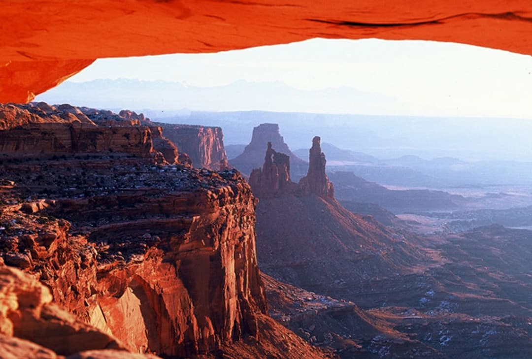
“You're coming up on Mesa Arch, where a low sandstone opening frames the canyon and the distant La Sal Mountains. Keep this stop even if you missed sunrise.”
Plays as you drive up to Mesa Arch in the Parkwolf Canyonlands Tour Guide.
More stories near here in the app
The Sheep That Rebuilt Other Herds
Candlestick Tower Overlook
Aztec Butte Granaries
Willow Flat Campground
43 audio storiesacross Canyonlands’s roads, triggered by GPS as you drive
Wildlife heatmapsfor Bighorn Sheep, Mule Deer, Coyote, and 13 more
Works offlinemaps, 63 trails, 65 places, and audio download before you lose signal
CarPlay readysimple controls built for the drive
★★★★★
“Fantastic app with many points of information… It’s great to just turn on while you’re driving and it gives you an audio tour of the national Park. We love it!!!!”
ClosureRain-damaged Needles backcountry roads impassableRecent rains have made several Needles backcountry roads impassable; do not drive these routes.Official details
CautionMaze access roads require high-clearance 4WDOnly use high-clearance 4WD to reach Hans Flat or Horseshoe Canyon in The Maze; low-clearance vehicles are not recommended on these damaged, rutted, muddy routes.Official details