
Place
Moderate
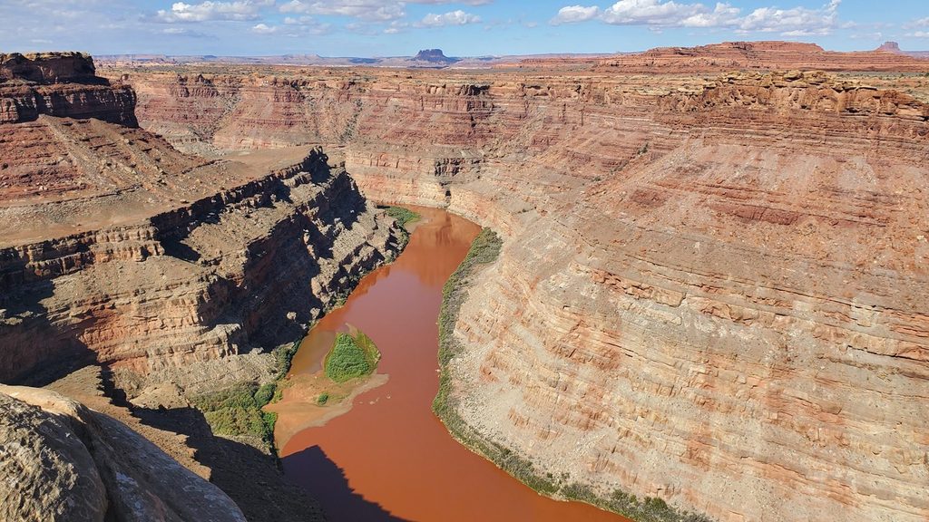
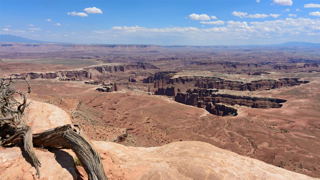
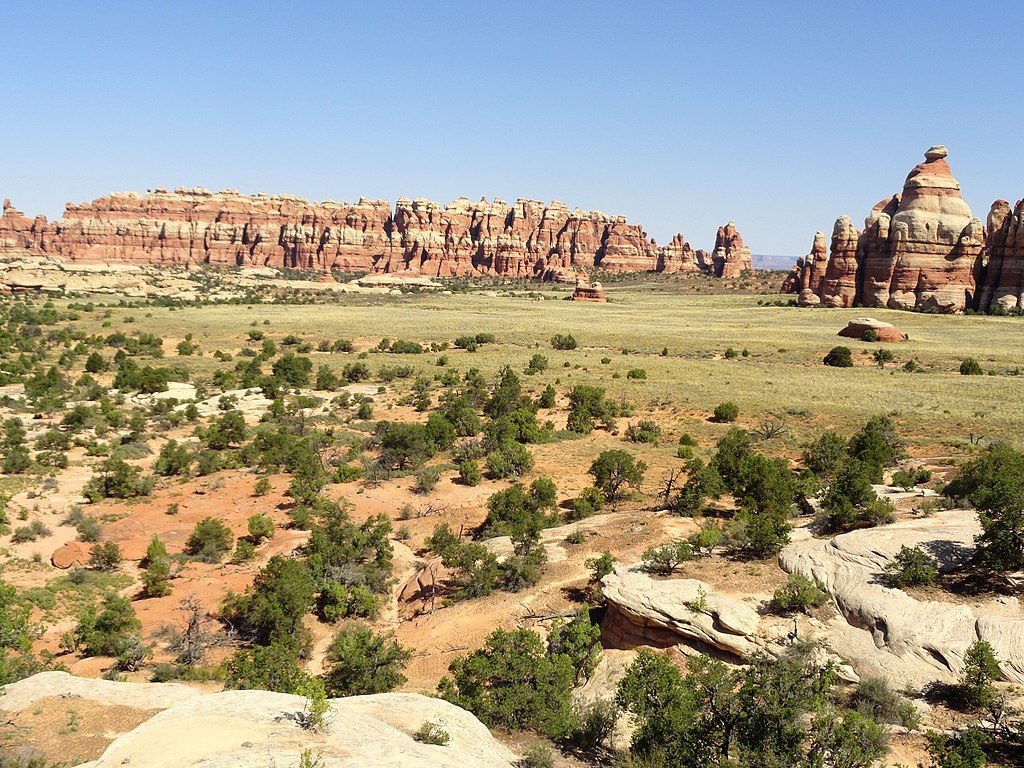
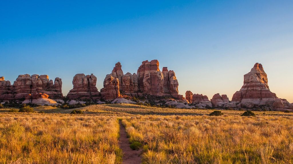
Starting right behind the Needles Visitor Center, this mixed‑use route heads to a lofty, unprotected perch above the Colorado River canyon. It’s not a typical footpath: most of the way is a rugged, unpaved road shared by hikers, mountain bikers, and high‑clearance 4WD vehicles. Expect sweeping views over Salt Creek Canyon and the river, with skyline landmarks like Ekker and Elaterite Buttes, the Needles, the mesas of Island in the Sky, Six Shooter Peaks, and Ute Mountain.
Plan for roughly 7–7.3 miles one way (about 14 miles round trip). Terrain alternates between bedrock, sandy stretches, and rocky ledges; some rough spots have been stabilized with rock work and patches of blacktop. The final 1.5 miles are the crux—rockier, with step‑downs and tighter lines—so many visitors park around the 5.2‑mile mark and walk the remainder to the rim. The overlook itself is a high, airy perch with big exposure and no railings. If Salt Creek is running, a short side wander to the feature known as “Lower Jump” can reveal a seasonal waterfall.
High‑clearance, low‑range 4WD is the standard for driving this road. Mountain bikes are allowed but should be ready for soft sand and some hike‑a‑bike. ATVs/UTVs are not permitted. Hikers can start right from the visitor center and simply share the road, or shorten the hike by getting a ride to the rougher last miles and walking in.
Spring and fall deliver the friendliest temperatures and the least punishing sun. Summer can be brutally hot—start early, carry more water than you think you need, and avoid the midday furnace. Light is best at low angles; early or late day brings depth to the canyons and cleaner air for long views.
The rim is unprotected with sheer drops—watch footing, secure hats, and keep kids close, especially on windy days. Water is scarce; bring ample supply. Stay on durable surfaces (rock or the established track) to protect fragile desert soil crusts. Near the end, avoid a left fork that veers northeast toward private rangeland; it’s nearly impassable and not part of the route.
If you like solitude, big desert drama, and don’t mind a rough approach, this is a rewarding Needles outing. The ability to drive, bike, or hike portions makes it flexible. If you’re after a pure single‑track hike without vehicles, there are quieter footpaths in the district—but few match the breadth of this overlook’s panorama. Note: pets aren’t allowed on trails here, and there’s no day‑use camping along the route.
Start at the Needles Visitor Center; high‑clearance 4WD can continue on the road. Many park at roughly 5.2 miles in and hike the last 1.5 miles to the overlook.
Extreme heat, scarce water, fragile cryptobiotic soils, unprotected cliff edges, and a misleading left fork near the end; high‑clearance 4WD recommended if driving.
Place
Place
Place
Place
Challenging
Easy
Challenging
Moderate

Parkwolf Tour Guide
