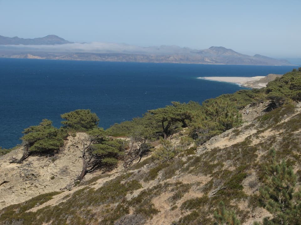
Parking
Start at the Prisoners Harbor landing on Santa Cruz Island. Reach it by boat or kayak; there is no public vehicle parking at the trailhead. Vault toilets and picnic tables are near the pier, but there is no potable water or food to buy.
Channel Islands National Park, CA
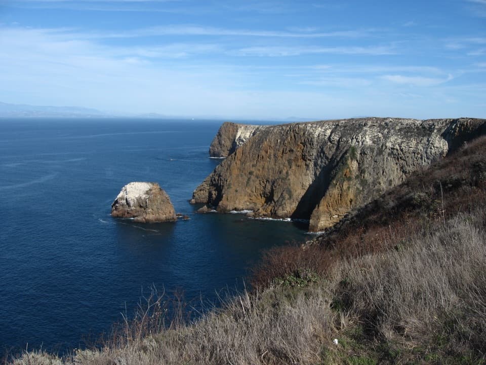
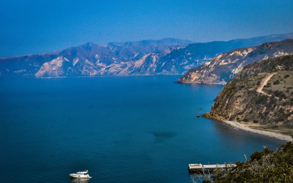
A short climb earns a high view over Prisoners Harbor.
Photo: Jen Bauer / NPS
Overview
Map & elevation
Plan your hike

The highest, rockiest slopes around here are a summer buffet for grizzly bears.
Channel Islands Tour Guide
Parkwolf is a GPS audio tour guide for Channel Islands National Park. As you drive, it chimes in with what’s ahead: hidden gems, upcoming stops, history, geology, and wildlife, right through your car’s speakers.
See the Channel Islands audio tour“Fantastic app with many points of information… It’s great to just turn on while you’re driving and it gives you an audio tour of the national Park. We love it!!!!”


Trail guide
This is a short out-and-back from the Prisoners Harbor landing to a view over the pier and bay. Plan for about half a mile round trip and roughly 30 minutes. Published distance descriptions use different conventions: the named overlook is listed as under half a mile one way, while the landing-area walk is also given as half a mile round trip. The exact overlook point is not marked separately, so ask park or boat staff at the landing if you are unsure where to turn.
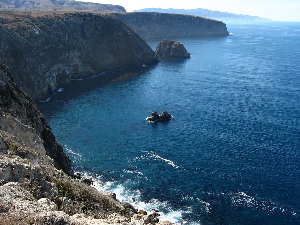
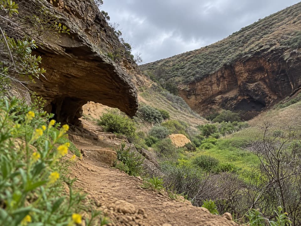
The walk passes historic harbor buildings and a restored coastal wetland, then climbs a short way on the dirt Navy Road to look back over the landing and sheltered water. Watch the nearby trees and streamside vegetation for the Santa Cruz Island scrub-jay, a species found only on this island. From the viewpoint, include the pier and steep slopes in a photo to show the shape of the harbor.
Reach Prisoners Harbor by boat or kayak; there is no public vehicle parking at the island trailhead. Vault toilets and picnic tables are near the pier, but there is no potable water or food to buy, so bring enough for your visit. Pets are not allowed in the park. The Canada del Puerto creek crossing can be wet and fast-moving in winter and spring, sometimes up to two feet deep; check it before crossing and turn back if it is unsafe.
Wildlife
 2,278 sightingsIsland FoxMost seen around 6 PMSighting map
 284 sightingsHumpback WhaleMost seen around 9 AMSighting map
 79 sightingsBlue WhaleMost seen around 7 AMSighting map
 102 sightingsGrey WhaleMost seen around 8 AMSighting map
 373 sightingsCalifornia Sea LionMost seen around noonSighting map
 106 sightingsBald EagleMost seen around 5 PMSighting map
Sighting maps show where each species has been reported across Channel Islands. Wildlife moves, so no sighting is guaranteed.
Keep exploring
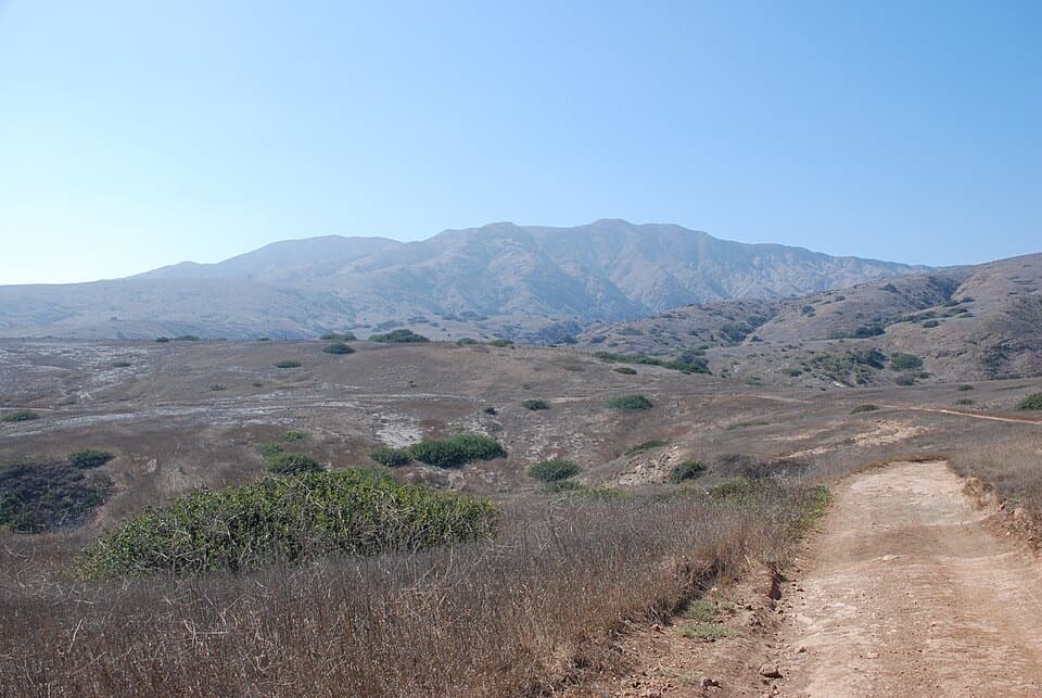 ChallengingPrisoners Harbor to Scorpion Anchorage Traverse13 mi · 10 hr · At the trailheadA strenuous 13-mile crossing from Prisoners Harbor to Scorpion Anchorage.
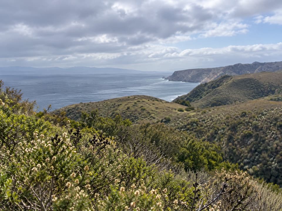 ModerateDel Norte Trail Overlook Hike3 mi · 2 hr · At the trailheadA short island climb ends at a northeast-coast overlook.
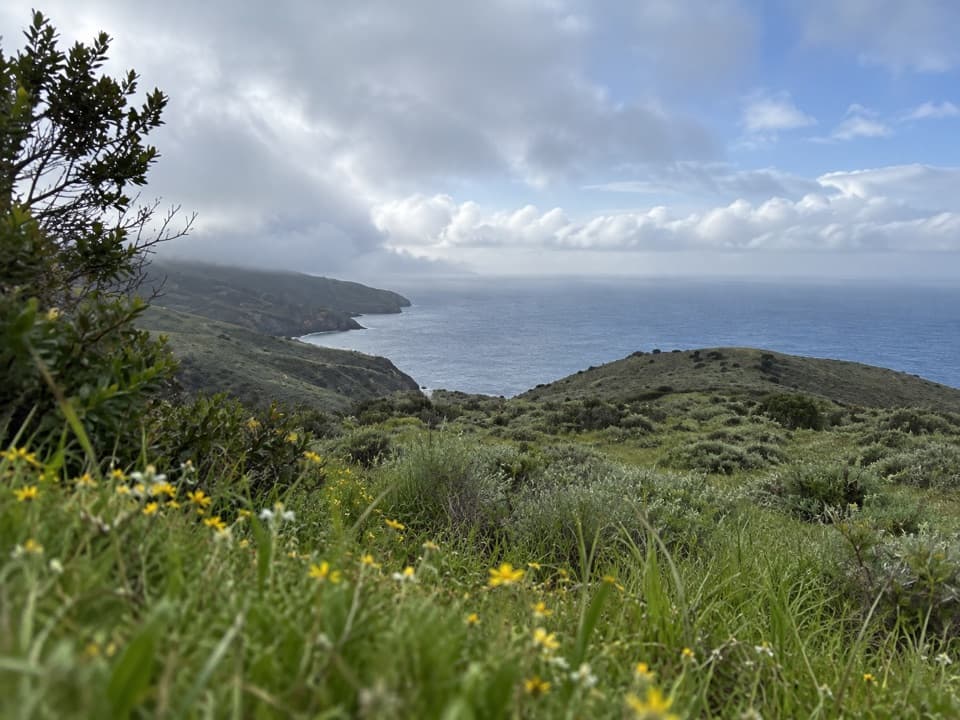 ChallengingDel Norte Campground Hike7 mi · 4.5 hr · At the trailheadA rugged island crossing to an oak-grove backcountry camp.
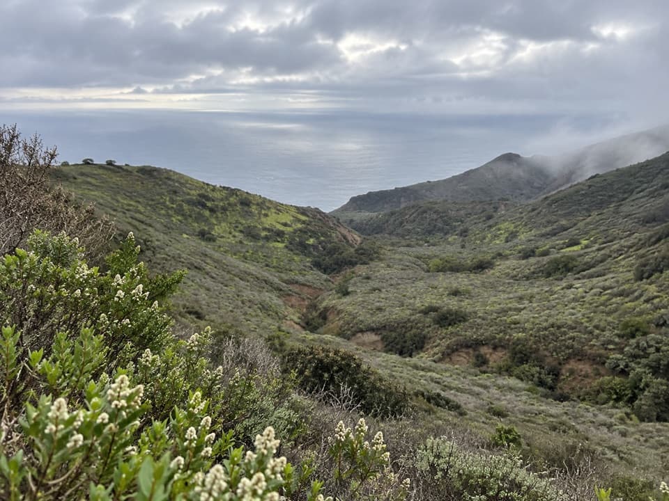 ChallengingSouth Side Overlook Hike5 mi · 3.5 hr · At the trailheadOn clear days, the climb ends with three islands on the horizon.
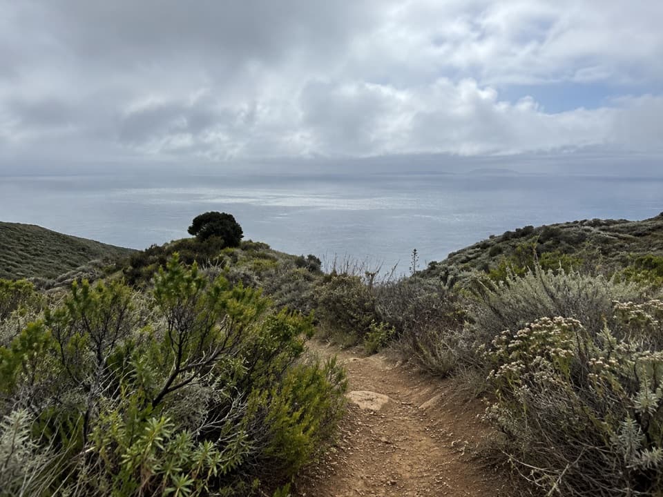 ChallengingDel Norte / Navy Road Loop8.5 mi · 5 hr · 0.1 mi awayA rugged island loop with long views over Santa Cruz’s south side.
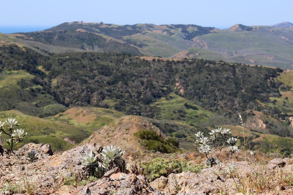 ChallengingChina Pines Trail18 mi · 11 hr · 0.1 mi awayAn 18-mile trek to the Santa Cruz Island pine.
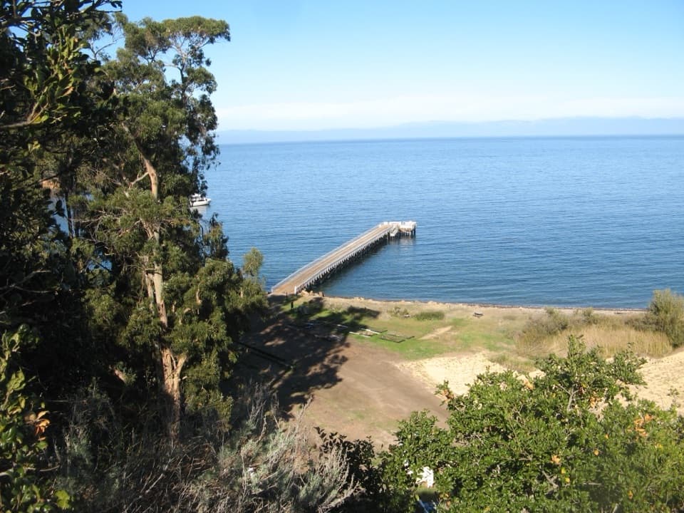 EasyPrisoner’s Harbor Hike0.5 mi · 30 min · 0.1 mi awayAn easy half-mile links ranch history, restored wetland, and a harbor view.
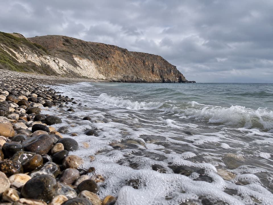
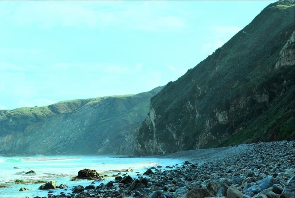 ChallengingChinese Harbor Hike15.5 mi · 9 hr · 0.1 mi awayA long island loop ends at a cobblestone beach.Sight · 0.1 mi awayPrisoner's HarborA boat landing where history meets a restored coastal wetland.Sight · 0.1 mi awayHarvey's LookoutA small boat-watch cabin above Prisoners Harbor.
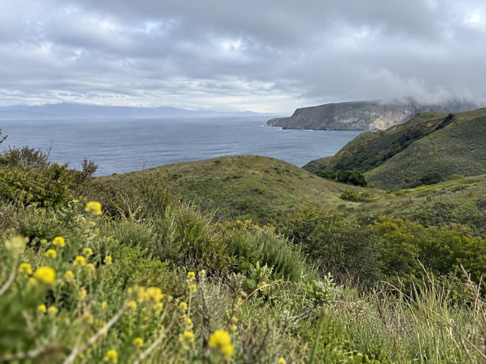 Sight · 0.8 mi awayDel Norte Trail OverlookA northeast-coast view worth the moderate walk from Prisoners Harbor.
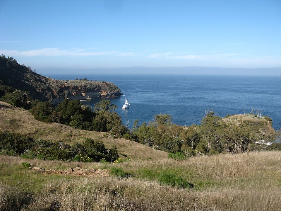 Sight · 1.4 mi awayPelican BayA protected anchorage reached by a staff-escorted island hike.
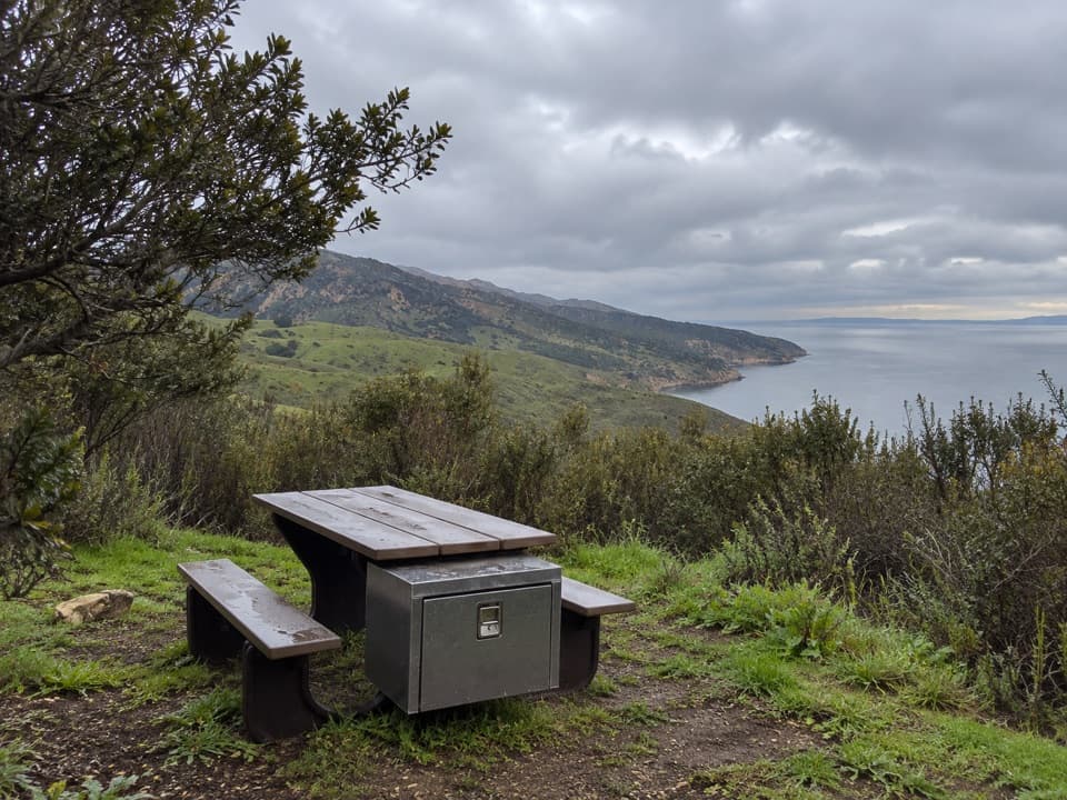 Campground · 1.5 mi awayDel Norte Backcountry CampgroundA coastal ridge camp worth the strenuous backpack in.
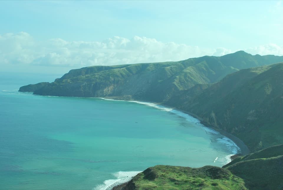 Beach · 3.7 mi awayChinese HarborA cobblestone harbor beach at the end of a demanding island hike.Sight · 4.6 mi awayChina PinesTwo pine forms share one grove, reached by a strenuous 18-mile hike.
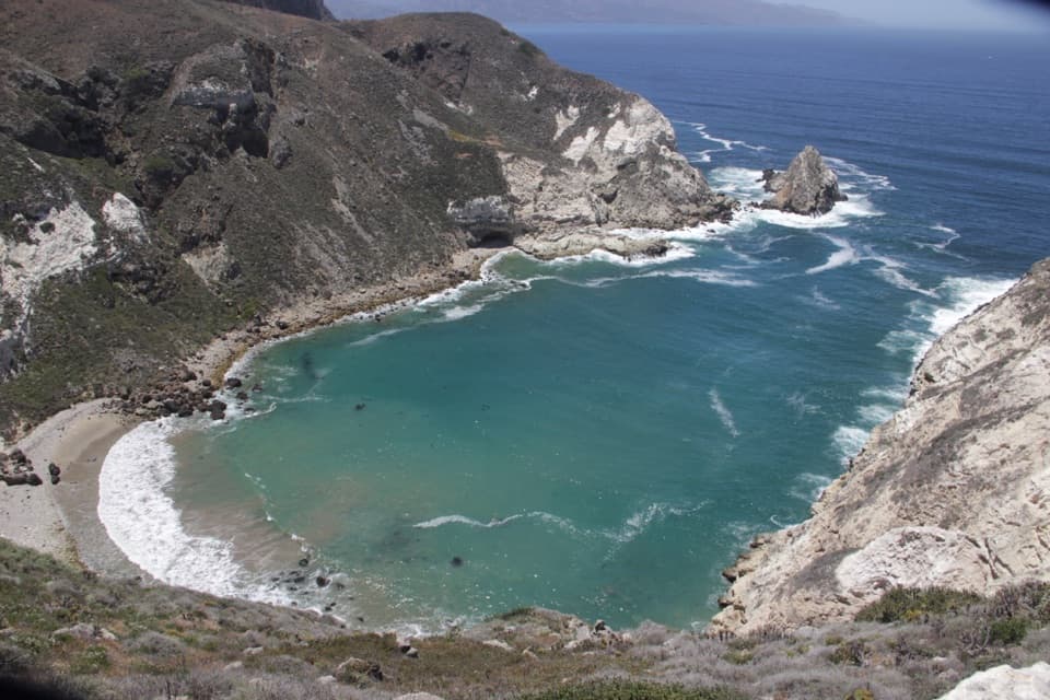 Sight · 5.8 mi awayPotato Harbor OverlookAn exposed five-mile hike above a cove shaped like a potato.
Parkwolf’s Channel Islands ranking

The audio tour guide for the drive, plus offline maps, trails, and wildlife heatmaps for when the signal drops.