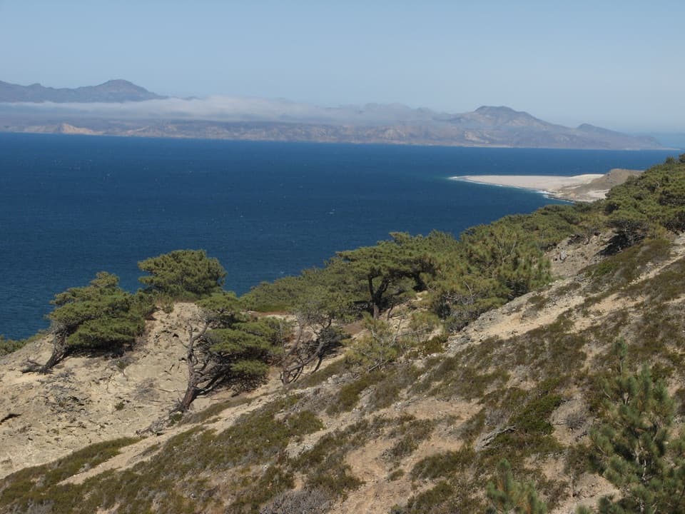
Parking
There is no road or vehicle parking at the trailhead. Reserve boat transport to Prisoners Harbor and pickup at Scorpion Anchorage; check the departure time before starting this one-way route.
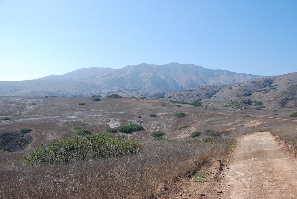
Channel Islands National Park, CA
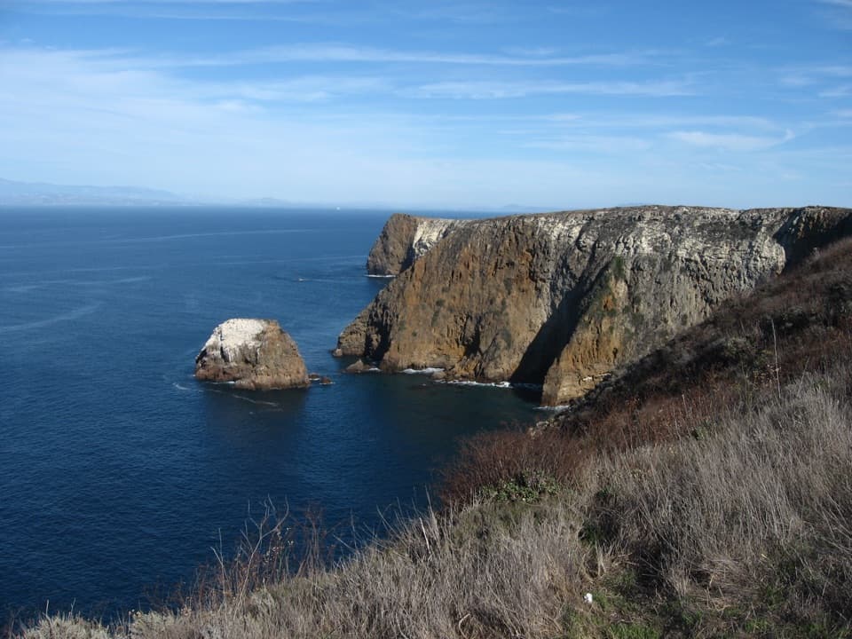
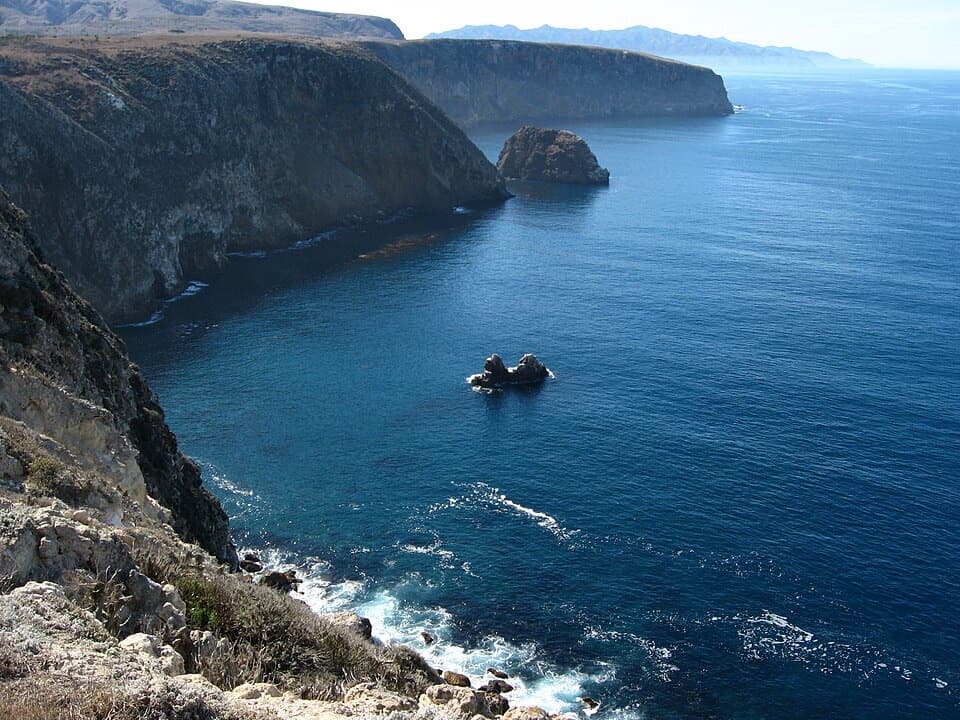
A strenuous 13-mile crossing from Prisoners Harbor to Scorpion Anchorage.
Photo: Adavyd, CC BY-SA 4.0, via Wikimedia Commons
Overview
Map & elevation
Plan your hike

The highest, rockiest slopes around here are a summer buffet for grizzly bears.
Channel Islands Tour Guide
Parkwolf is a GPS audio tour guide for Channel Islands National Park. As you drive, it chimes in with what’s ahead: hidden gems, upcoming stops, history, geology, and wildlife, right through your car’s speakers.
See the Channel Islands audio tour“Fantastic app with many points of information… It’s great to just turn on while you’re driving and it gives you an audio tour of the national Park. We love it!!!!”


Trail guide
This is a one-way, roughly 13-mile hike across eastern Santa Cruz Island, from Prisoners Harbor to Scorpion Anchorage. It follows Navy Road and Del Norte Trail, continues along the East End Road corridor, then climbs Montañon and descends through Scorpion Canyon to the eastern landing. The mapped route is 12.92 miles, rounded to 13.0; it leaves out the optional China Pines and Chinese Harbor spurs. Published distances to Del Norte Camp vary because they describe different approaches. This line matches the roughly 13-mile direct crossing and is the route to use for this row.
There’s no road connection between the landings, so book boat transport to Prisoners Harbor and pickup at Scorpion Anchorage before you set out. Keep a safe cushion around the departure time. I’d plan on a night at Del Norte rather than treating this as a casual day hike: a strong, experienced hiker can make the direct crossing in one long day, but the repeated climbs and rough footing make that a hard push. Del Norte has four primitive sites, a pit toilet, picnic table and animal-proof food locker; advance reservations are required and there’s no water. Bring all food and drinking water. There’s no dependable water or resupply on the crossing.
The route starts through the harbor’s ranch area and restored wetland, then climbs Navy Road. The first mile gives you a good look back over the harbor; watch the nearby trees and streamside vegetation for island scrub-jays. In winter and spring, Canada del Puerto can run fast and reach two feet deep, so that crossing can change the whole day. Don’t mistake this for an easy way to add a scenic loop to a boat stop.
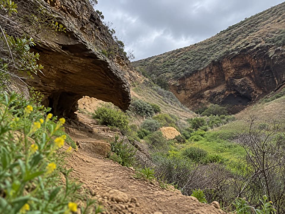
Del Norte Trail drops into deep storm-cut canyons and climbs back out again. Expect frequent short, steep ups and downs rather than one steady grade. The canyon bottoms can be brushy and muddy after storms; views reopen as you climb onto the higher ground. The mileage is modest beside a full backpacking route, but the terrain makes it feel longer.
The hardest country is around Montañon: the trail is rocky, and the descent has been described as eroded enough to require careful footing. The route then comes down through Scorpion Canyon to the landing. A topographic map is useful here; the Montañon route is unmaintained, and stay on mapped trails rather than animal tracks. At Scorpion, the late-1800s ranch complex and its blacksmith shop are a worthwhile stop after the hike. A shorter option from Prisoners Harbor is the roughly 3-mile round-trip Del Norte Overlook walk; it gives you a harbor-side outing without the cross-island commitment.
Pets aren’t allowed on the island; service animals require permission from the park superintendent. The island hiking map also warns about poison oak, jumping cholla, ticks, scorpions and crumbly cliff edges. Keep to the trail and give the edges room. The seasonal creek crossing, lack of water and rough ridge footing are the main reasons to leave extra time.
Wildlife
 2,278 sightingsIsland FoxMost seen around 6 PMSighting map
 284 sightingsHumpback WhaleMost seen around 9 AMSighting map
 79 sightingsBlue WhaleMost seen around 7 AMSighting map
 102 sightingsGrey WhaleMost seen around 8 AMSighting map
 373 sightingsCalifornia Sea LionMost seen around noonSighting map
 106 sightingsBald EagleMost seen around 5 PMSighting map
Sighting maps show where each species has been reported across Channel Islands. Wildlife moves, so no sighting is guaranteed.
Keep exploring
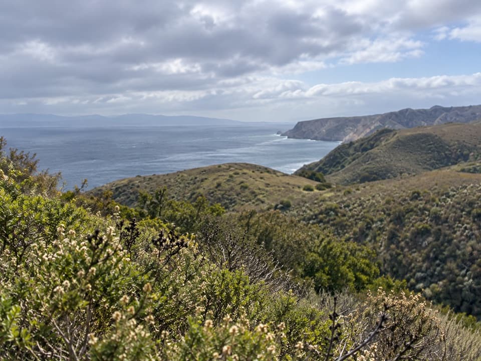 ModerateDel Norte Trail Overlook Hike3 mi · 2 hr · At the trailheadA short island climb ends at a northeast-coast overlook.
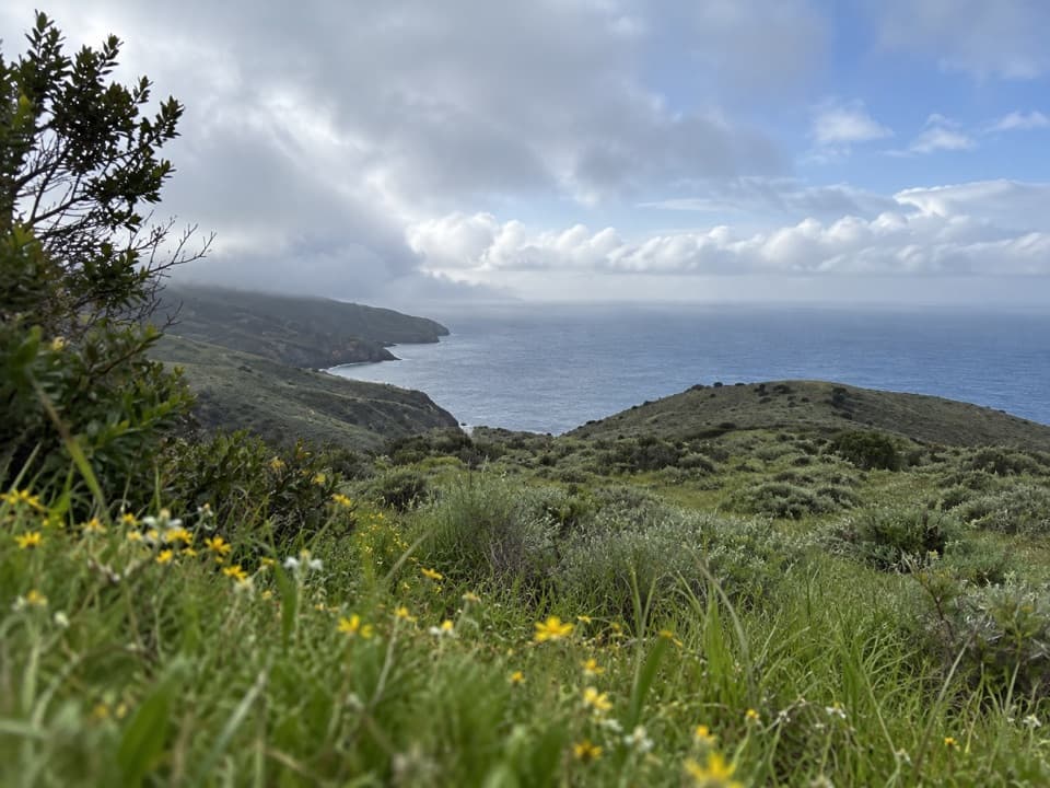 ChallengingDel Norte Campground Hike7 mi · 4.5 hr · At the trailheadA rugged island crossing to an oak-grove backcountry camp.
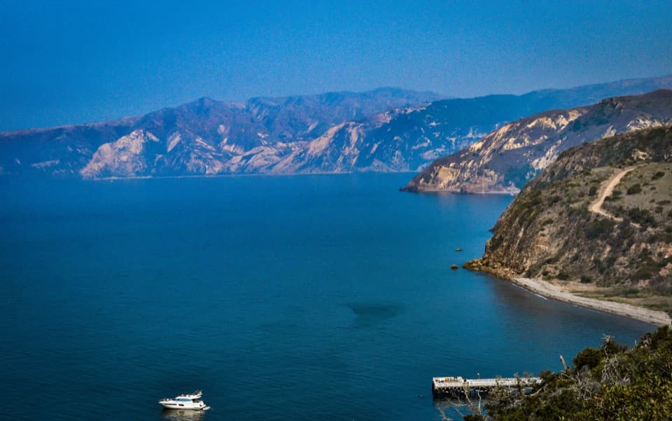 EasyEagle Canyon Overlook Hike0.5 mi · 30 min · At the trailheadA short climb earns a high view over Prisoners Harbor.
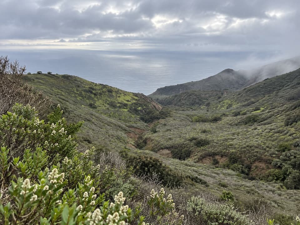 ChallengingSouth Side Overlook Hike5 mi · 3.5 hr · At the trailheadOn clear days, the climb ends with three islands on the horizon.
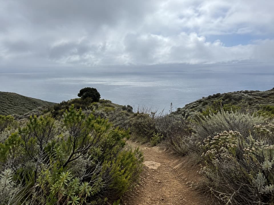 ChallengingDel Norte / Navy Road Loop8.5 mi · 5 hr · 0.1 mi awayA rugged island loop with long views over Santa Cruz’s south side.
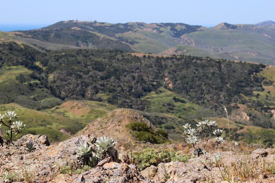 ChallengingChina Pines Trail18 mi · 11 hr · 0.1 mi awayAn 18-mile trek to the Santa Cruz Island pine.
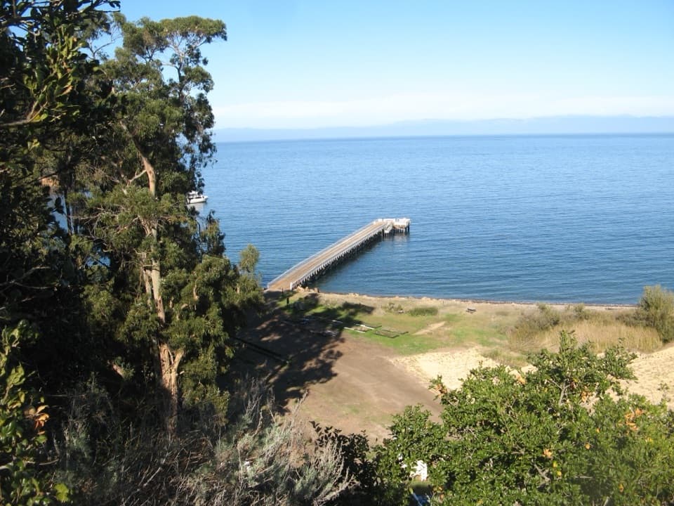 EasyPrisoner’s Harbor Hike0.5 mi · 30 min · 0.1 mi awayAn easy half-mile links ranch history, restored wetland, and a harbor view.
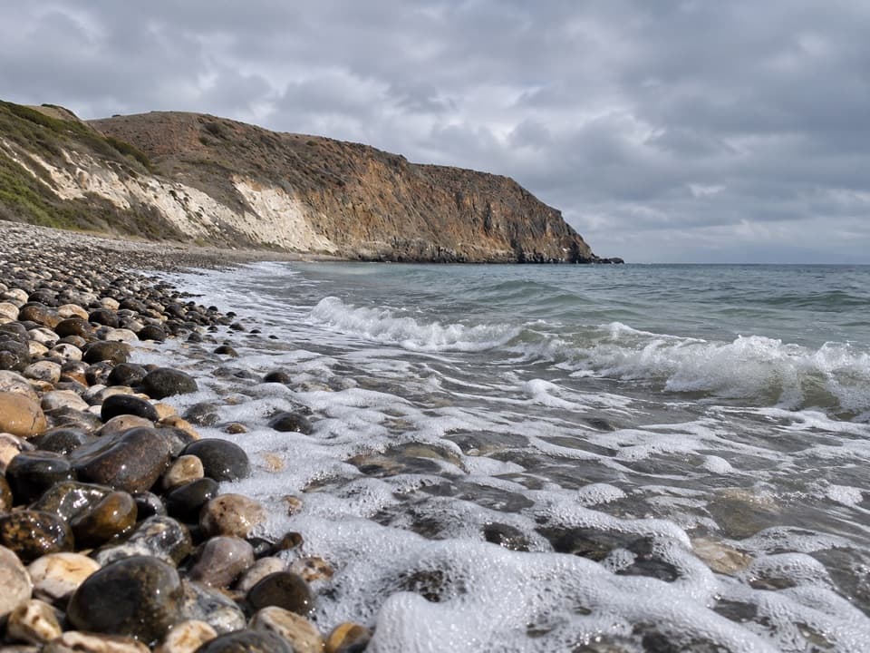
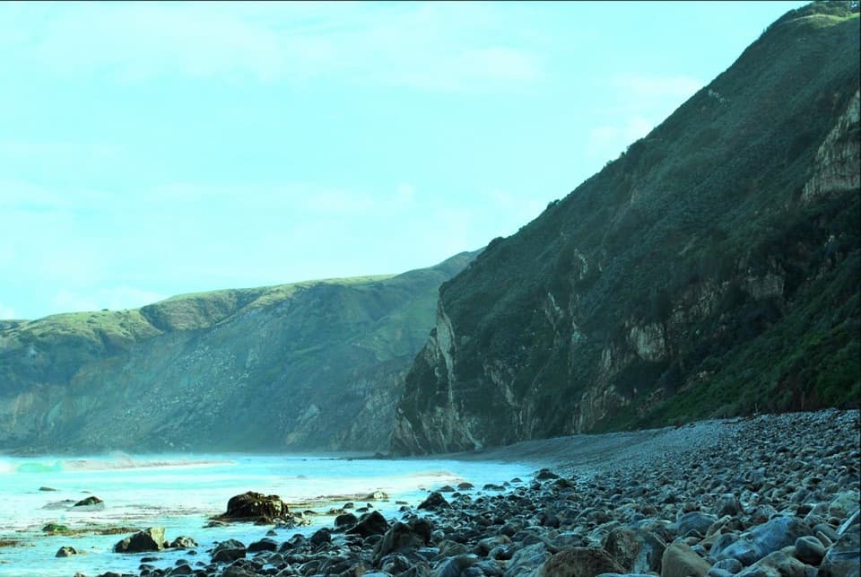 ChallengingChinese Harbor Hike15.5 mi · 9 hr · 0.1 mi awayA long island loop ends at a cobblestone beach.Sight · 0.1 mi awayPrisoner's HarborA boat landing where history meets a restored coastal wetland.Sight · 0.1 mi awayHarvey's LookoutA small boat-watch cabin above Prisoners Harbor.
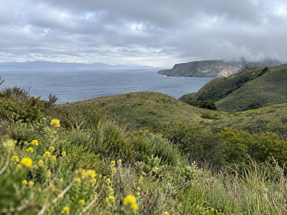 Sight · 0.8 mi awayDel Norte Trail OverlookA northeast-coast view worth the moderate walk from Prisoners Harbor.
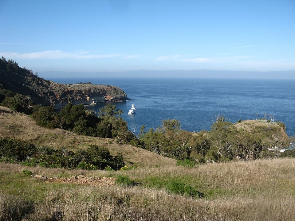 Sight · 1.4 mi awayPelican BayA protected anchorage reached by a staff-escorted island hike.
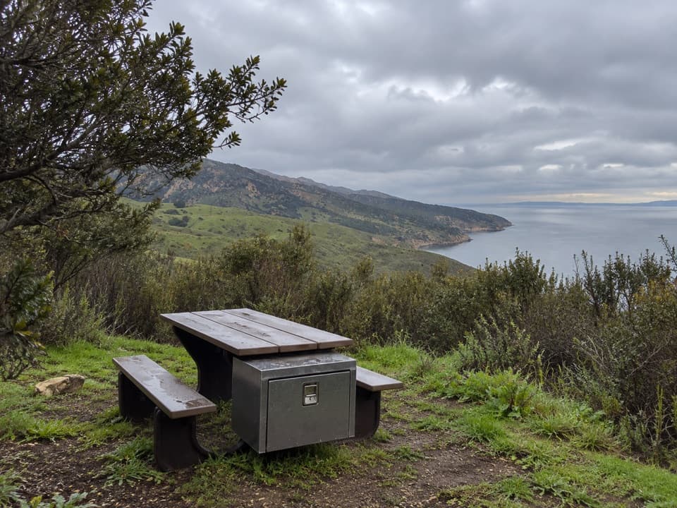 Campground · 1.5 mi awayDel Norte Backcountry CampgroundA coastal ridge camp worth the strenuous backpack in.
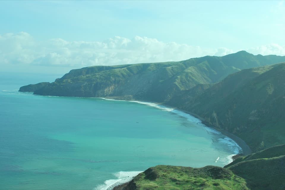 Beach · 3.7 mi awayChinese HarborA cobblestone harbor beach at the end of a demanding island hike.Sight · 4.6 mi awayChina PinesTwo pine forms share one grove, reached by a strenuous 18-mile hike.
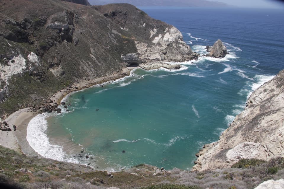 Sight · 5.8 mi awayPotato Harbor OverlookAn exposed five-mile hike above a cove shaped like a potato.
Parkwolf’s Channel Islands ranking

The audio tour guide for the drive, plus offline maps, trails, and wildlife heatmaps for when the signal drops.