Parking
No road access to Santa Rosa Island. Arrive by boat at Bechers Bay Pier, then follow the signed route west through the historic ranch area to Smith Highway. There is no vehicle parking at the island trailhead.
#5 of 48 trails in Channel Islands
Channel Islands National Park, CA
A long island road walk opens onto an unexpectedly lush canyon.
Overview
Map & elevation
Plan your hike

The highest, rockiest slopes around here are a summer buffet for grizzly bears.
Channel Islands Tour Guide
Parkwolf is a GPS audio tour guide for Channel Islands National Park. As you drive, it chimes in with what’s ahead: hidden gems, upcoming stops, history, geology, and wildlife, right through your car’s speakers.
See the Channel Islands audio tour“Fantastic app with many points of information… It’s great to just turn on while you’re driving and it gives you an audio tour of the national Park. We love it!!!!”


Trail guide
At 9.6 miles round trip from the Santa Rosa Island pier at Bechers Bay, Lobo Canyon is a strenuous out-and-back, not a short walk from the boat. Allow about six hours at a normal hiking pace with breaks; its length and the long open approach make it too long for most day visitors, as the National Park Service cautions. Plan boat and overnight arrangements before you commit. The reward is a narrow, spring-fed canyon with sculpted sandstone at the coast, but you earn it over several miles of island road.
From the pier, follow the signed route west through Bechers Bay's historic ranch area, then take Smith Highway inland. The first road section is a dirt track that climbs into open grassland; it is exposed to sun and wind and can feel long before the canyon arrives. At the high part, the road drops into Lobo Canyon. This route uses the same approach on the return, so save energy for the climb back out and the exposed walk to the pier. Water and flush toilets are in the ranch area; there are no facilities farther along the route. Refill before you leave, and treat any natural water before drinking.
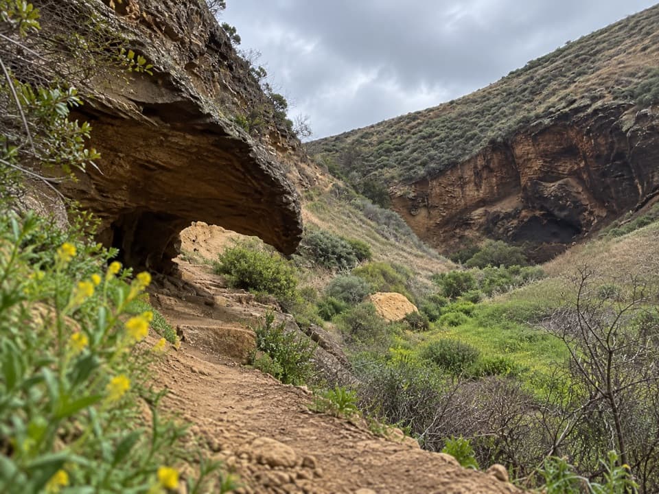
From the road, a narrow footpath descends roughly 1.5 miles through the canyon to the Pacific. The tread changes from wide dirt road to a rougher path on the canyon floor. The strenuous rating matters most here and on the return ascent. The bottom stays greener than the surrounding hills: mossy oaks and toyon, succulents, wildflowers, cactus on boulders, and cattails frame a spring-fed creek. About two-thirds of the way down, a side path enters a slot canyon. The main route ends at the sea-facing mouth; turn around there. The coast continuation toward Cow Canyon belongs to a different, longer hike, and the shoreline between the two canyons is marked on-trail only.
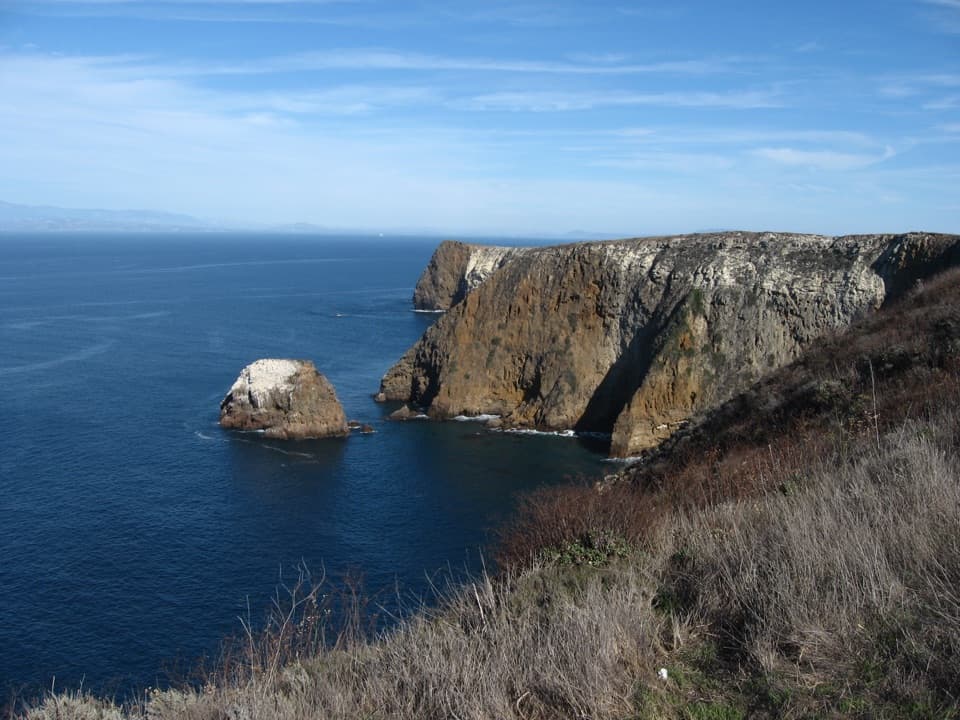
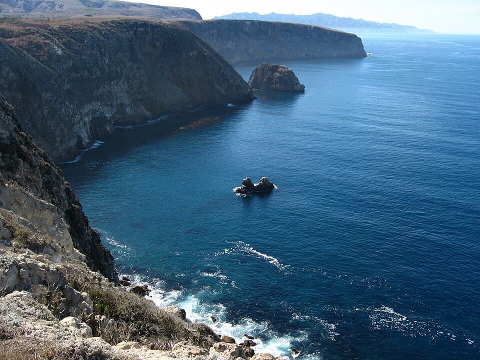
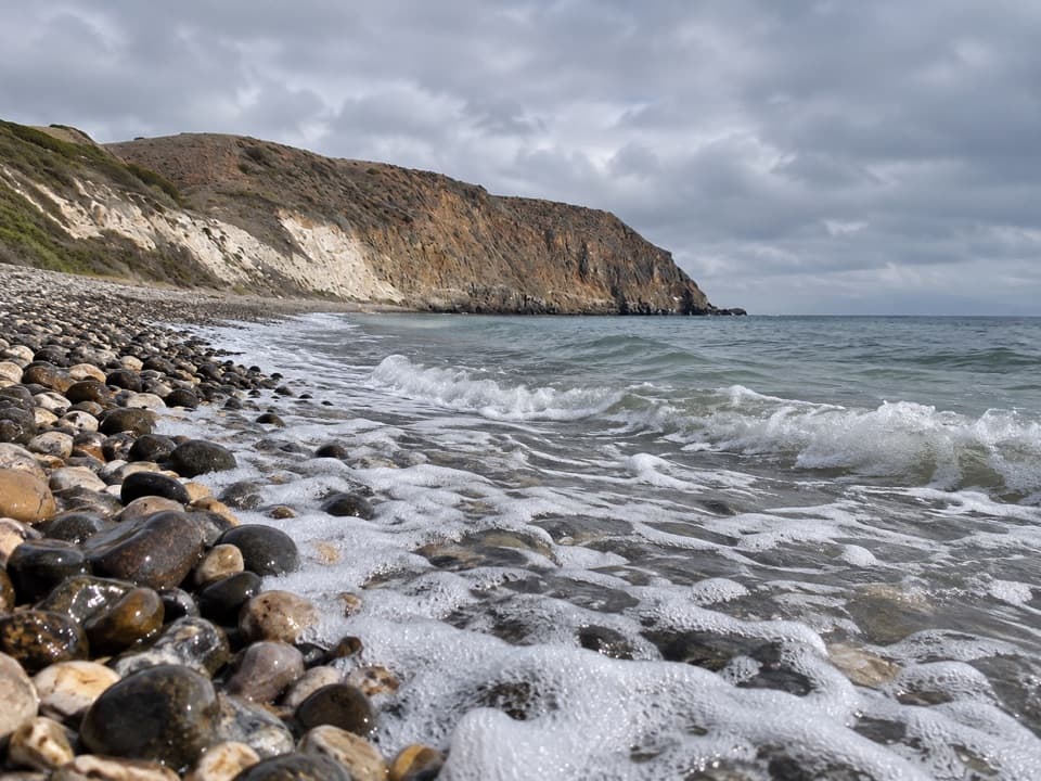
Wind and water have cut layers of sandstone and siltstone into alcoves and honeycomb tafoni. The creek runs through the canyon’s greener floor toward the Pacific. This is the payoff: look from the rough, open ridge down into a shaded, textured corridor, then notice how the canyon walls change as you descend. For a phone photo, frame the layered overhang against the creek-side greenery; the green floor gives scale to the sculpted rock.
The route starts through the ranch area near the pier. The Chumash called the island Wimal and lived here at least 13,000 years; livestock ranching began in 1844, and the last cattle left in 1998. The ranch buildings mark that later chapter before you leave the developed area for open grassland and canyon. Pets are not allowed anywhere on the island to protect its wildlife. If you have less time, the easy 0.8-mile Historic Ranch walk or 2-mile Bechers Bay Coastal Trail from the same pier is a much better fit.
Wildlife
 2,278 sightingsIsland FoxMost seen around 6 PMSighting map
 284 sightingsHumpback WhaleMost seen around 9 AMSighting map
 79 sightingsBlue WhaleMost seen around 7 AMSighting map
 102 sightingsGrey WhaleMost seen around 8 AMSighting map
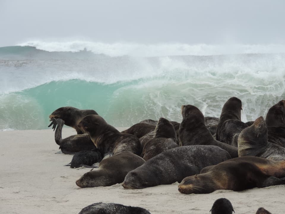
 373 sightingsCalifornia Sea LionMost seen around noonSighting map
 106 sightingsBald EagleMost seen around 5 PMSighting map
Sighting maps show where each species has been reported across Channel Islands. Wildlife moves, so no sighting is guaranteed.
Keep exploring
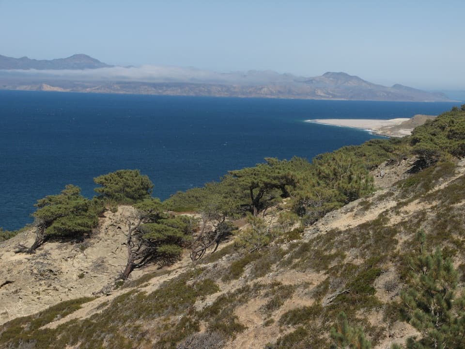 ChallengingTorrey Pines Loop Hike7.5 mi · 4.5 hr · At the trailheadA steep loop through a pine grove found only in two places.
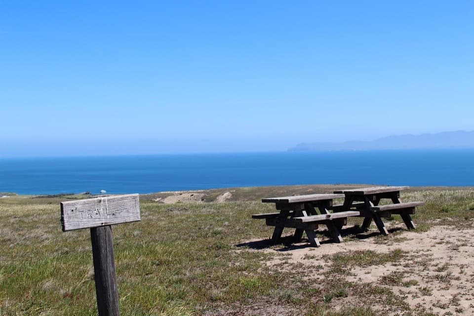 ModerateCherry Canyon Hike3.5 mi · 2.5 hr · At the trailheadA seasonal creek and switchbacks open onto a coastal terrace.
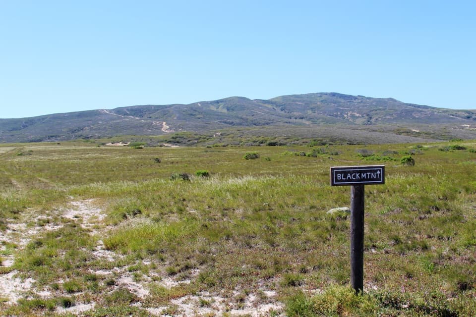 ChallengingBlack Mountain Hike8 mi · 4.5 hr · At the trailheadA steep island climb through oak woodland to broad summit views.
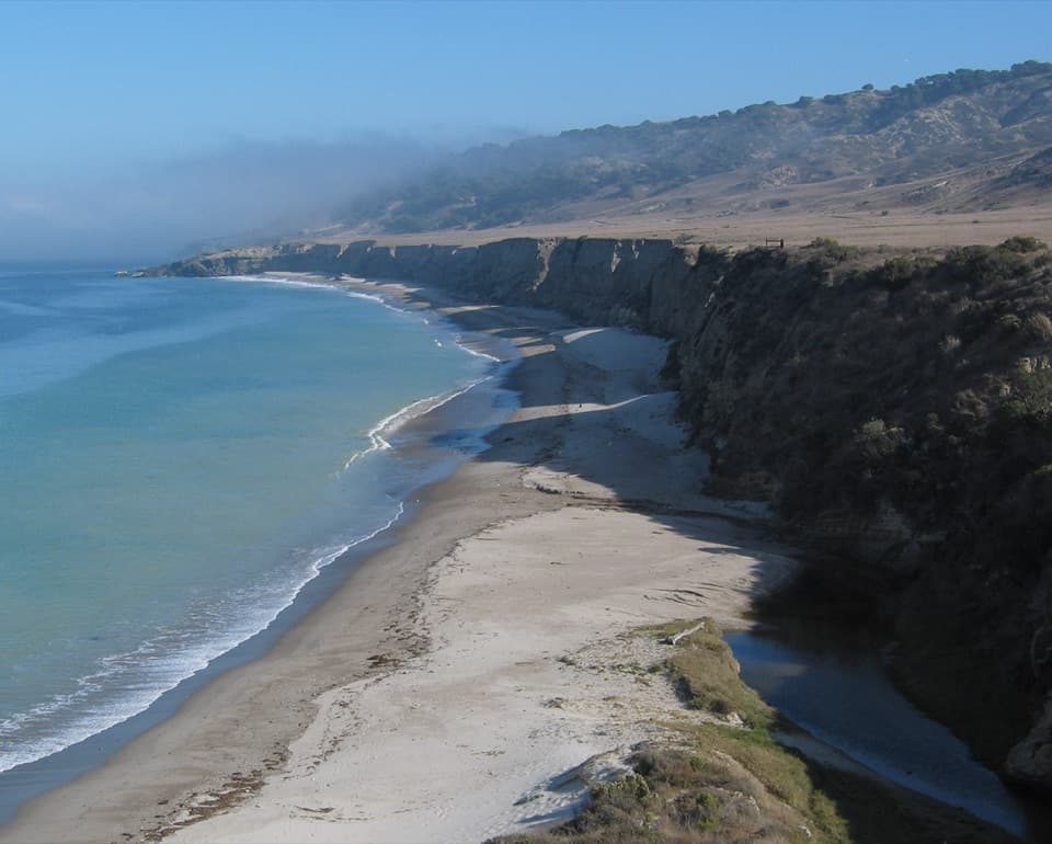 ModerateTorrey Pines Coastal Hike5 mi · 2.5 hr · At the trailheadA flat coastal road leads to a rare grove of Torrey pines.
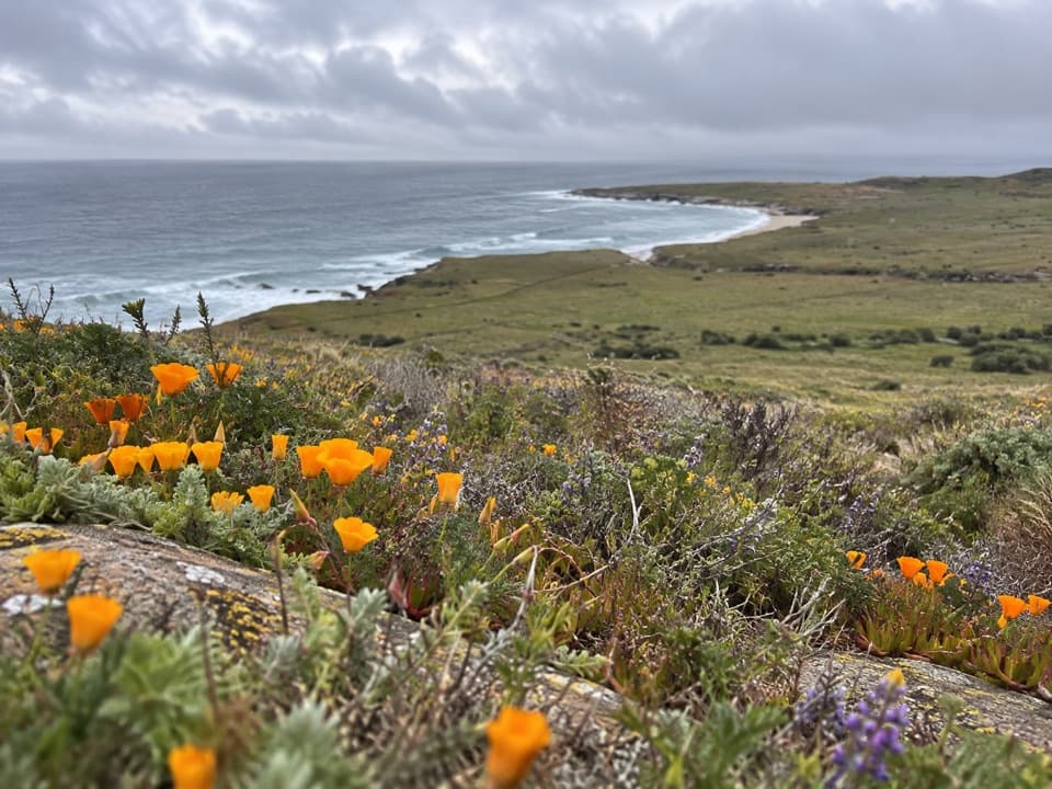 ChallengingEast Point Hike16 mi · 8.5 hr · At the trailheadA long coastal out-and-back to Santa Rosa’s remote eastern tip.
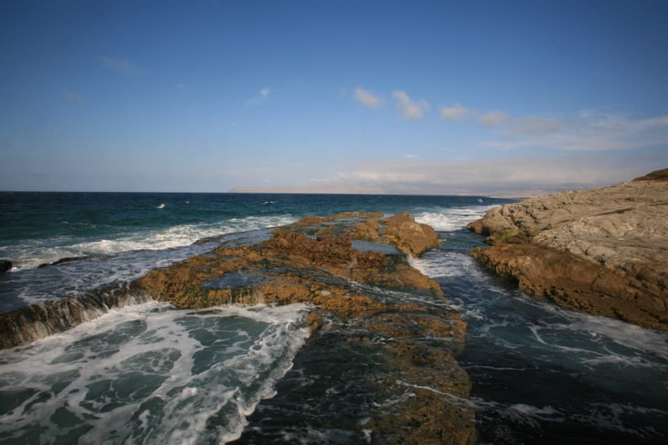 ChallengingSkunk Point Hike12 mi · 6.5 hr · At the trailheadA strenuous 12-mile out-and-back to tidepools and white sand.
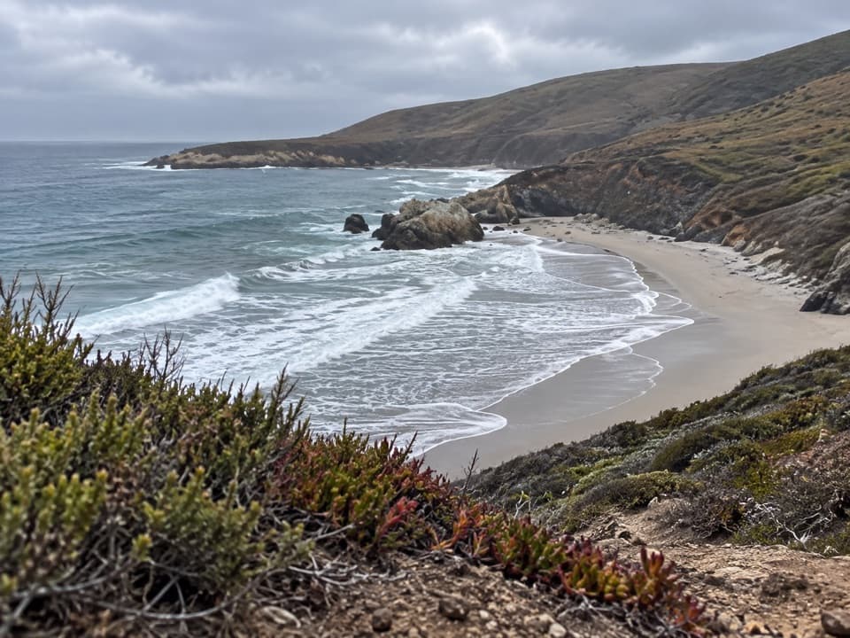 ChallengingFord Point via South (Wreck) Road20 mi · 10 hr · At the trailheadA rugged walk to a beach split by one large rock.
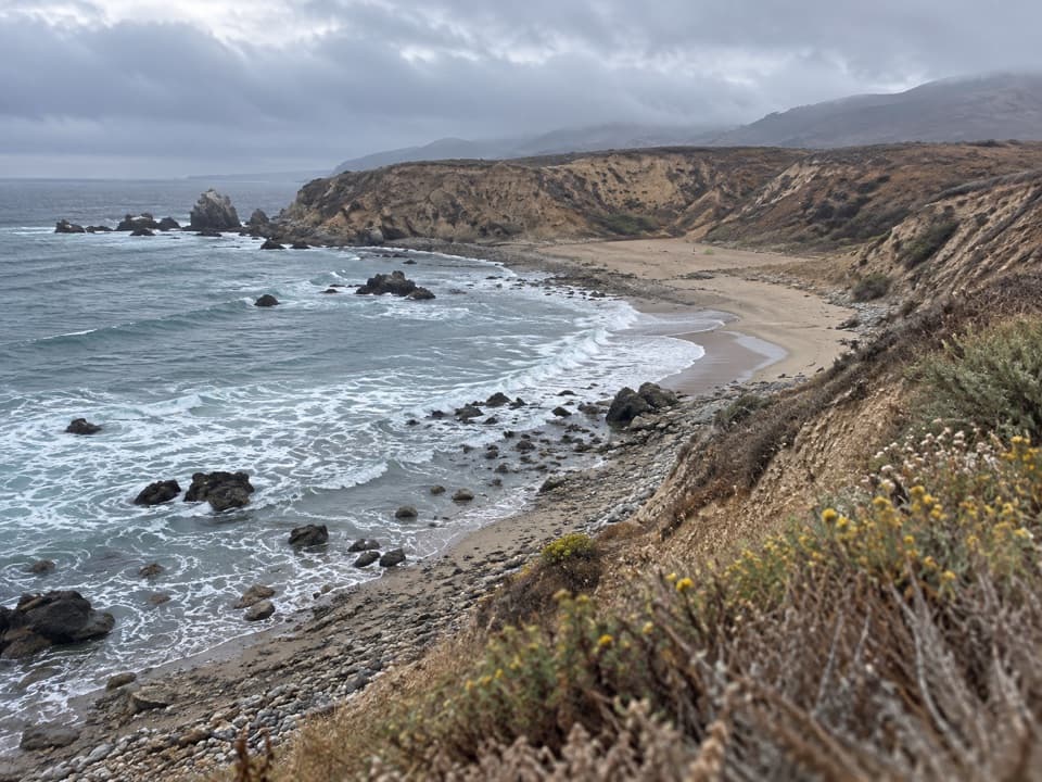 ChallengingLa Jolla Vieja via South (Wreck) Road22.4 mi · 15 hr · At the trailheadA remote beach at the end of a full island crossing.
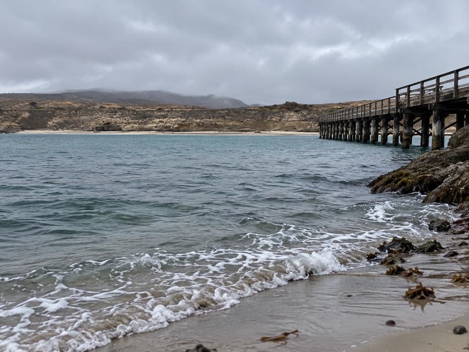 Sight · 0.1 mi awayBecher's Bay PierA boat landing with a century and a half of ranching history.
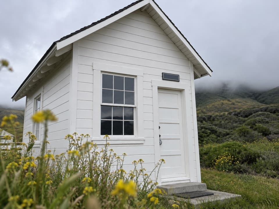 Sight · 0.2 mi awayVail & Vickers Cattle Ranch and SchoolhouseA level walk into Santa Rosa Island's cattle-ranch past.Beach · 1 mi awayWater Canyon BeachTwo miles of sand, reached by a three-mile island walk.
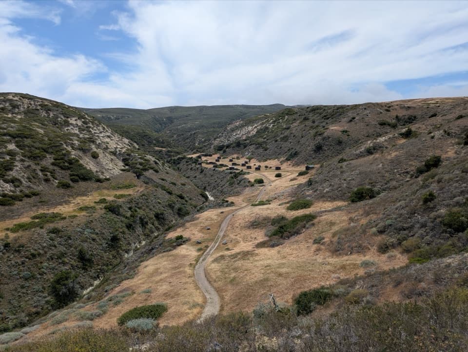 Campground · 1.2 mi awayWater Canyon CampgroundA windy 15-site camp with a 1.5-mile gear carry from the pier.
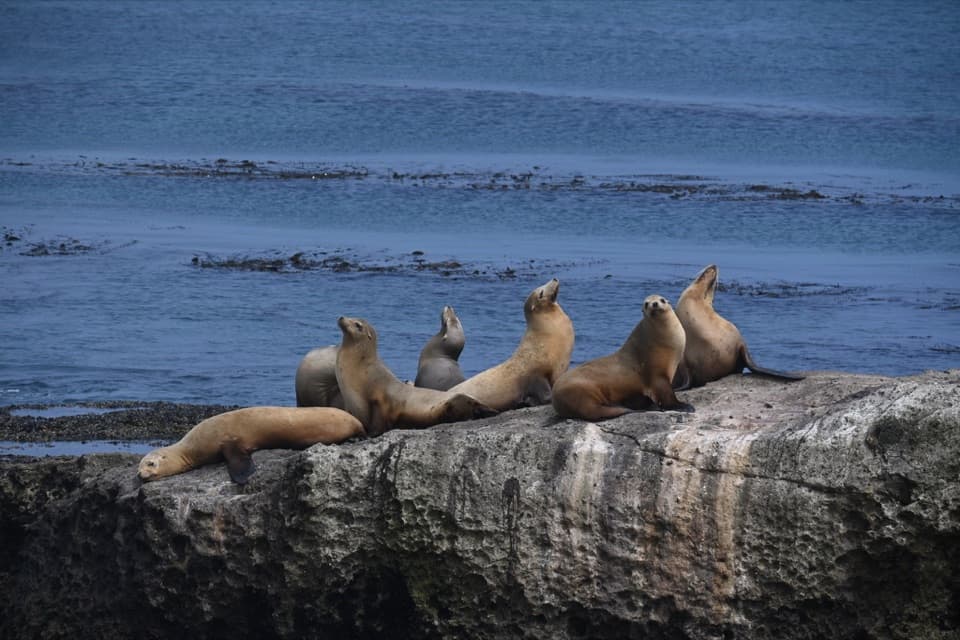 Sight · 1.7 mi awayCarrington PointSea lions and a pygmy-mammoth story beside a nearly 300-degree ocean view.
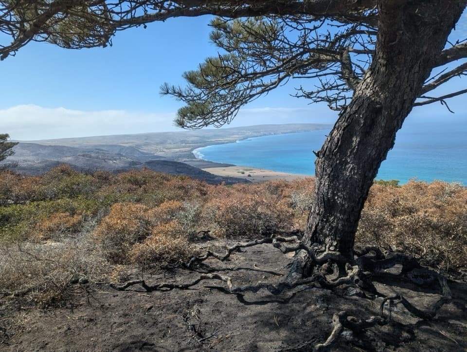 Sight · 2.3 mi awayTorrey Pines GroveOne of only two natural Torrey pine populations grows here.
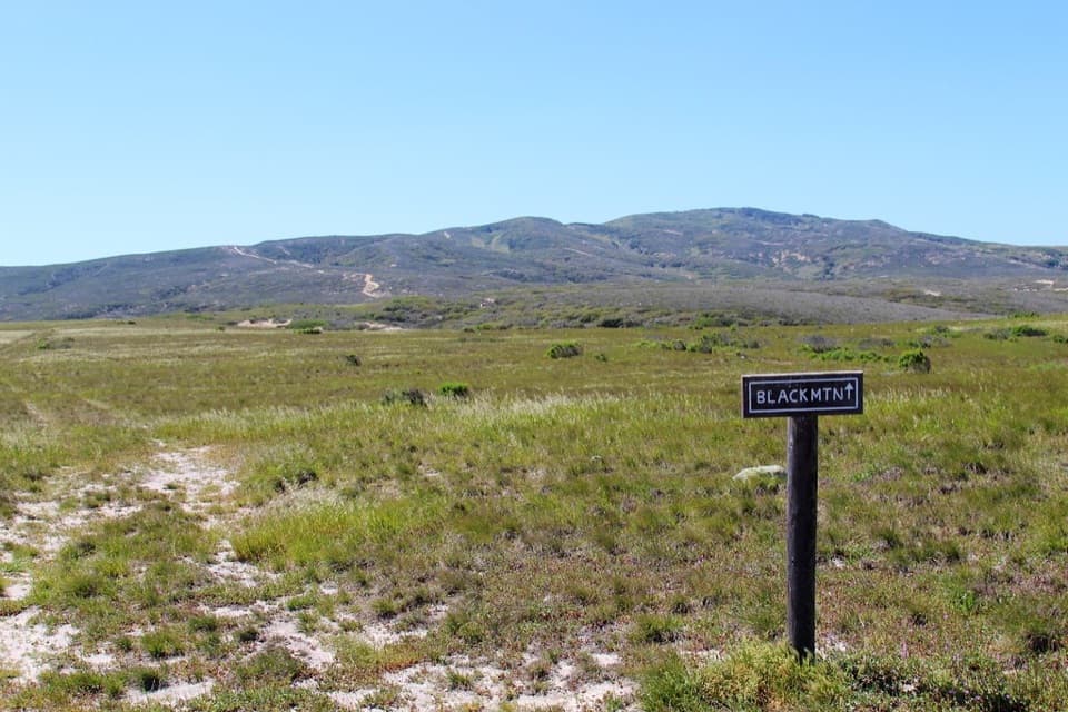 Sight · 2.7 mi awayBlack MountainA steep summit hike with island-wide views when the fog lifts.
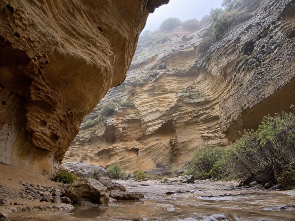 Sight · 3 mi awayLobo CanyonA green stream below honeycombed sandstone, after a long island hike.
Parkwolf’s Channel Islands ranking

The audio tour guide for the drive, plus offline maps, trails, and wildlife heatmaps for when the signal drops.