
Place · 0.6 mi away
Moderate
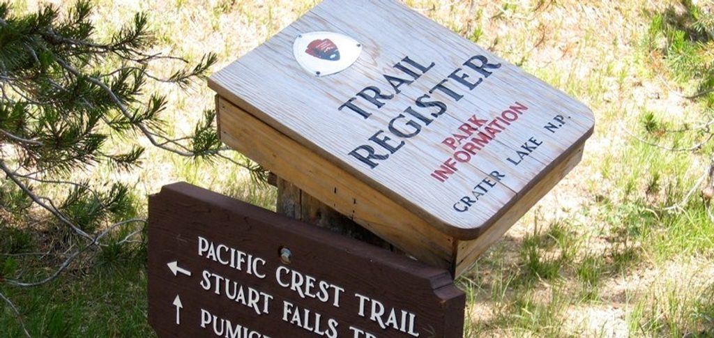
Roughly 33 miles of the Pacific Crest Trail cross Crater Lake National Park, running generally south to north and skirting the west side of the caldera. A popular way to sample it is the ~26.7-mile stretch from Mazama Village (near Highway 62) to Highway 138. The official PCT tread keeps you in forest and volcanic flats and actually bypasses the lake’s rim—scenically quieter, but efficient. Most hikers seeking the postcard moments take the rim alternate.
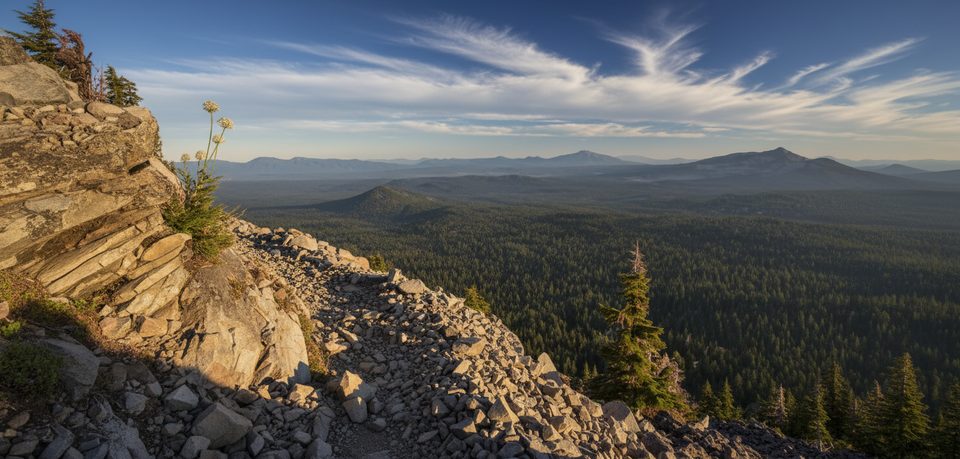
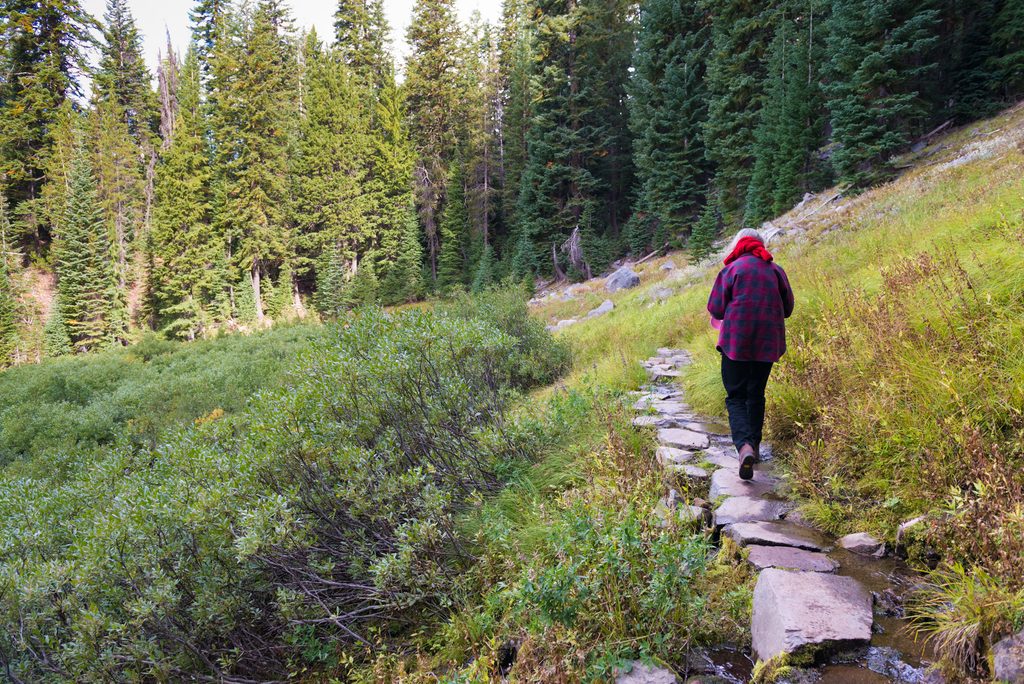
The official corridor stays away from the rim and winds through forested plateaus, arid pumice flats, and meadows with intermittent Cascade views. For the big show, climb from the south via Dutton Creek Trail to the rim and walk about 6 miles along the caldera edge before rejoining the main route. Expect continuous, jaw-dropping vistas of Crater Lake’s sheer walls and Wizard Island on the alternate. Some junctions aren’t signed as “PCT,” so having a map/GPS helps around places like Dutton Creek.
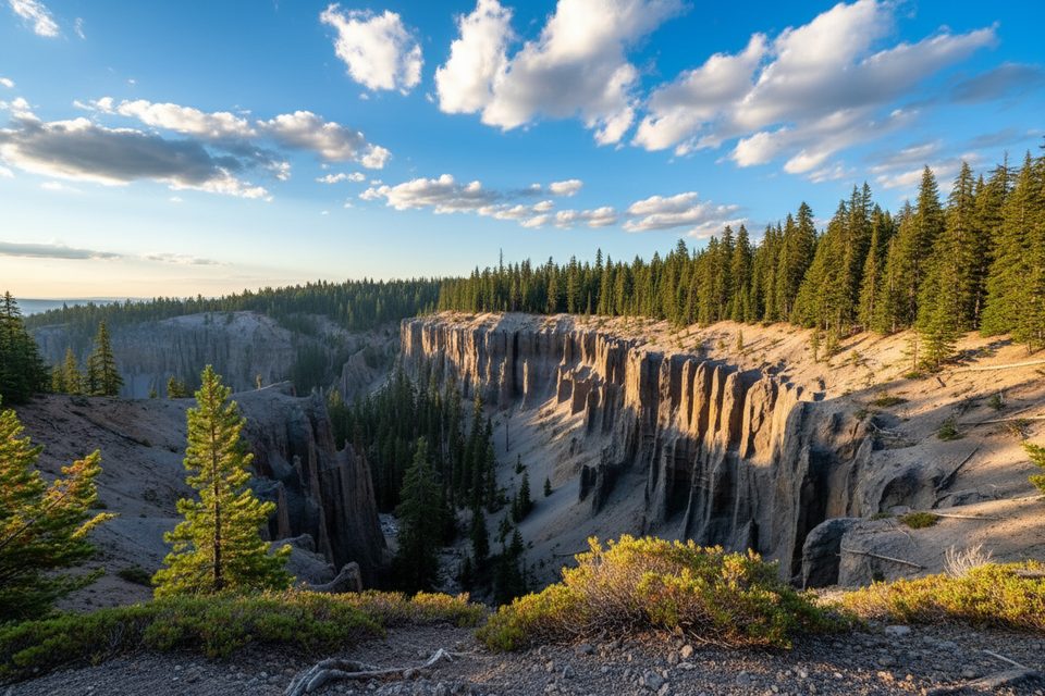
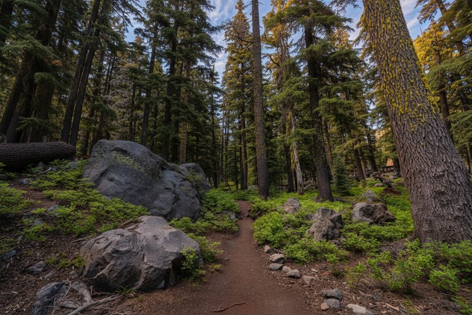
This is volcanic country shaped by the cataclysmic eruption and collapse of Mount Mazama about 7,700 years ago. You’ll cross porous ash soils, pumice flats, and high, dry forest. The rim alternate showcases the park’s crown jewel: the impossibly blue caldera lake framed by dramatic cliffs and cinder cones. Away from the rim, the ambience is quieter—think airy woods and wide, dusty tread—with occasional peeks toward the Cascades.
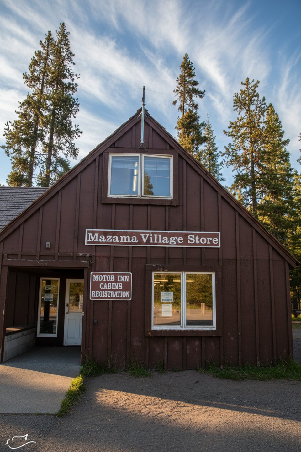
Water is the crux here. Many springs and creeks dry up by late July or early August. Plan to carry at least a gallon per person and treat everything you find. When flowing, sources include Red Cone Springs, Lightning Springs, Dutton, Trapper, Bybee, and North/South Copeland Creeks. Mazama Village is the go-to resupply and shower stop, reachable from the PCT via the Annie Springs Trail cutoff just south of Dutton Creek. Camping follows standard backcountry rules and is generally away from the rim; established sites are limited.
If you’re traveling 500+ continuous miles on the PCT, the interagency long-distance permit covers you through the park. Otherwise, obtain a park backcountry camping permit for overnights. Uniquely, leashed dogs are allowed on the PCT within Crater Lake National Park (they’re not allowed on most other park trails), so this is one of the few backpacking routes here where your pup can legally join—keep the leash on and follow all regulations.
Prime season is July through September. Early summer can hang onto snow drifts at higher elevations; late summer may bring fire closures and smoke—always check current alerts. Weather shifts fast at elevation, and the rim can be windy and exposed, so pack layers. Shoulder-season attempts (late June or early October) are possible in light-snow years but expect cold nights and potential snowfall.
If you’re here for the lake, the rim alternate is a no-brainer and one of Oregon’s most memorable PCT miles. The official corridor is a pleasant, low-drama traverse through classic volcanic forest—good if you value staying on the designated route, want fewer crowds, or prefer less exposure. With smart water planning, this section is a standout whether you’re thru-hiking or doing a short section.
Southern access at the Highway 62–Pacific Crest Trail trailhead near Mazama Village; northern access at Highway 138 on the park’s north side. Park at either end for point-to-point shuttles or stage vehicles for a section hike.
Water sources often dry up by late July–August—carry at least a gallon per person and treat all water. Expect wind and exposure on the rim alternate, lingering early-season snow, and potential late-summer fire closures. Some junctions aren’t clearly signed as PCT; bring a map or GPS.
Place · 0.6 mi away
Place · 0.7 mi away
Place · 0.7 mi away
Place · 0.7 mi away
Moderate · 0 mi away
Easy · 1.8 mi away
Easy · 2.8 mi away
Easy · 2.9 mi away

Parkwolf Tour Guide
