Parking
Use the PCT hikers’ parking area at the Highway 62 crossing, about one mile west of the Crater Lake Road junction. Lot capacity and fee status were not established.

Crater Lake National Park, OR
A long forest walk ends on a narrow summit with wide views.
Overview
Map & elevation
Plan your hike

The highest, rockiest slopes around here are a summer buffet for grizzly bears.
Crater Lake Tour Guide
Parkwolf is a GPS audio tour guide for Crater Lake National Park. As you drive, it chimes in with what’s ahead: hidden gems, upcoming stops, history, geology, and wildlife, right through your car’s speakers.
See the Crater Lake audio tourRecorded for this trailhead
Union Peak Trailhead“You're nearing Union Peak Trailhead at the Pacific Crest Trail crossing on Highway sixty-two. Choose this for a long forest walk to a rocky summit with Cascade views; Crater Lake isn't visible from the top.”
Plays as you drive up to this trailhead in the Parkwolf Crater Lake Tour Guide.
More stories near here in the app
“Fantastic app with many points of information… It’s great to just turn on while you’re driving and it gives you an audio tour of the national Park. We love it!!!!”


Trail guide
This is a 9.8-mile round-trip out-and-back from the Pacific Crest Trail crossing on Highway 62. Follow the PCT south, turn onto the Union Peak spur, then return the same way. Budget five to six hours and about 1,600 feet of climbing. The outing starts with quiet forest miles and ends on a steep, exposed volcanic ridge with broad views across the southern Cascades. Crater Lake is not visible from the summit. Choose this one for the long backcountry approach and rough summit finish; if you mainly want a lake view, a shorter rim walk is a better fit.
From the signed crossing, follow the PCT south for roughly 2.4 miles to the Union Peak junction. This part is mostly level beneath lodgepole pine and hemlock, with few open views or landmarks. A gentle rise comes before the junction, and the peak does not show until later, so the early forest can feel uneventful. At the signed split, leave the PCT to the right and southwest when heading south. Staying on the PCT leads toward the separate Stuart Falls itinerary, not this summit-only hike.
The Union Peak spur starts more gently under lodgepole pine. Pumice openings appear as the path nears the mountain, and the summit comes into view after you have been on the spur for a while. That transition from forest to open pumice is a good cue that the hard finish is approaching.
The route wraps around the south side, then climbs rocky switchbacks on the upper mountain. The last half mile is the steepest; the final 0.3 mile has about 25 to 30 tight turns, a short scramble, and a narrow exposed ledge. This is a much tougher finish than the first few miles suggest, and snow on the ledge raises the difficulty. The summit is a small, bare ridge, roughly 50 feet by 15 feet in an older field description. Take care near the edge and leave room for others on the narrow crest.
The payoff is a broad view over surrounding Cascade peaks and ridges, without a view into Crater Lake's caldera. For a summit photo, keep some of the narrow volcanic rock in the foreground so the landscape has scale; the crest itself is part of the story.
Union Peak is the eroded core of an old volcano. Its central spire is solidified lava that once filled the vent; most of the cone around it has worn away. Glaciers and running water carved the nearby U-shaped valleys. A 1937 natural-history account describes the upper 800 feet as a rock spire and notes tiny cristobalite crystals, mostly under a millimeter, in talus on the southeast and southwest sides.
The name dates to an 1853 climb led by Chauncey Nye. Most of Nye's party favored the Union cause as the country moved toward civil war, and they chose a name they hoped would last.
Snow can cover the lower trail from autumn into early summer, and the upper route may hold snow into late July; timing varies by year. Backcountry water is scarce, and sources can dry by late July or early August. Park guidance recommends carrying at least a gallon per person; no dependable refill point was documented for this route. No on-route food stop or restroom was found in the sources checked.
Leashed pets may use the official PCT, but the Union Peak spur is not on the park's permitted-trail list. Dogs therefore cannot complete this summit route.
Wildlife
 16 sightingsBlack BearMost seen around 8 PMSighting map
 178 sightingsMule DeerMost seen around 7 PMSighting map
 26 sightingsCommon RavenMost seen around 9 AMSighting map
 33 sightingsTurkey VultureMost seen around 1 PMSighting map
 47 sightingsRed-tailed HawkMost seen around 11 AMSighting map
 71 sightingsCascades FrogMost seen around 5 PMSighting map
Sighting maps show where each species has been reported across Crater Lake. Wildlife moves, so no sighting is guaranteed.
Keep exploring
 ChallengingUnion Peak and Stuart Falls Trail22.4 mi · 13 hr · At the trailheadA long PCT hike pairs a rocky summit with a backcountry waterfall.
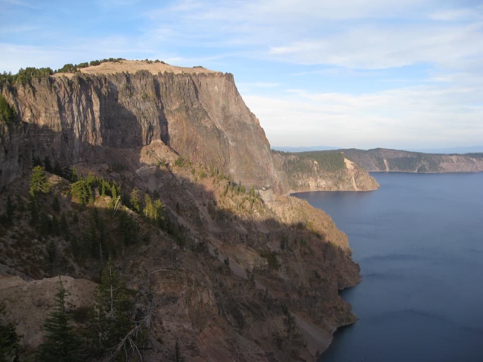 ChallengingLarge PCT Loop30 mi · 16 hr · 0.5 mi awayA 30-mile PCT loop from Mazama with long rim-side views.
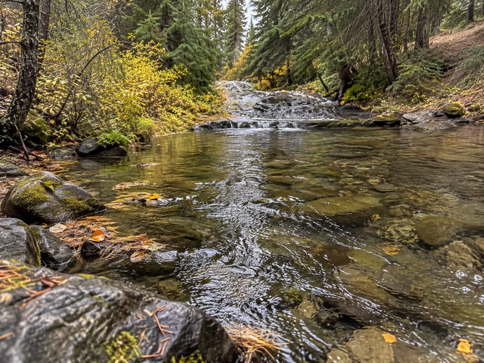 EasyAnnie Spring Trail1.6 mi · 1 hr · 0.5 mi awayA spring-side walk with an optional PCT extension.
 ModerateAnnie Creek Canyon Trail1.7 mi · 1.5 hr · 1 mi awayA short loop into a deep canyon beside Annie Creek.
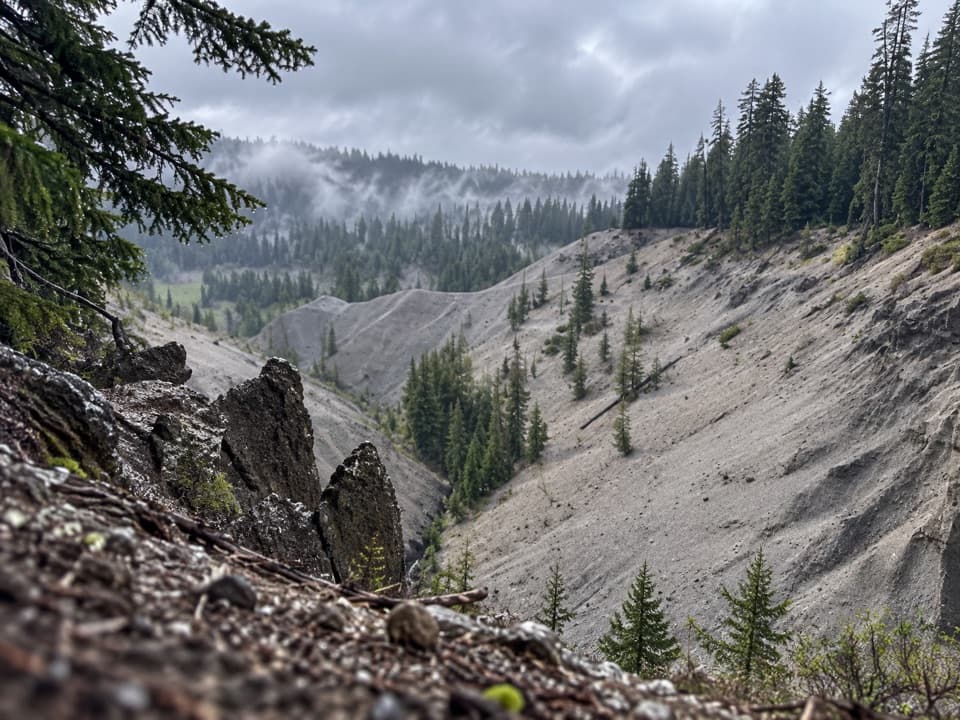 EasyGodfrey Glen Trail1.1 mi · 30 min · 1.8 mi awayA short, accessible loop with canyon views and volcanic spires.
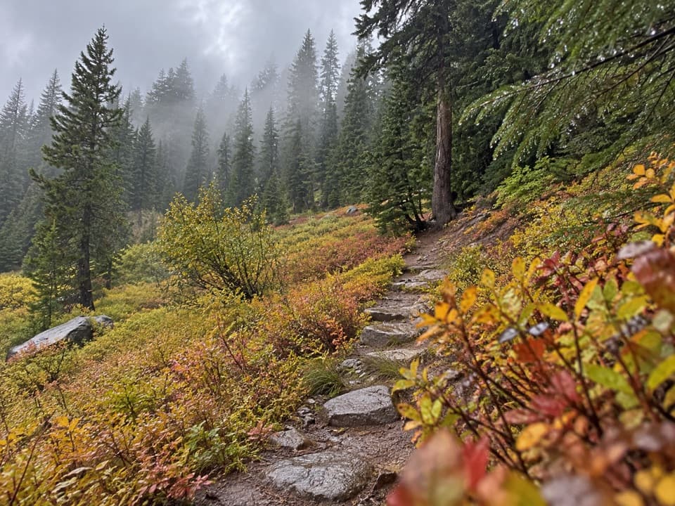 EasyCastle Crest Trail0.5 mi · 36 min · 2.8 mi awayA short loop around a spring-fed wildflower meadow.
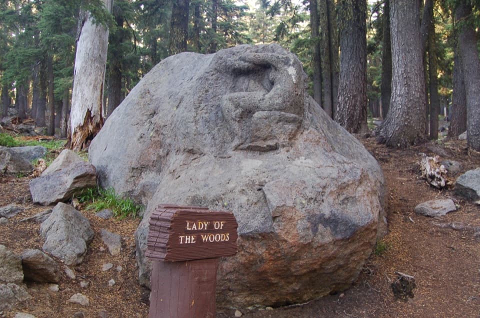 EasyLady of the Woods Trail0.7 mi · 36 min · 2.9 mi awayA short history loop to a weathered forest carving.
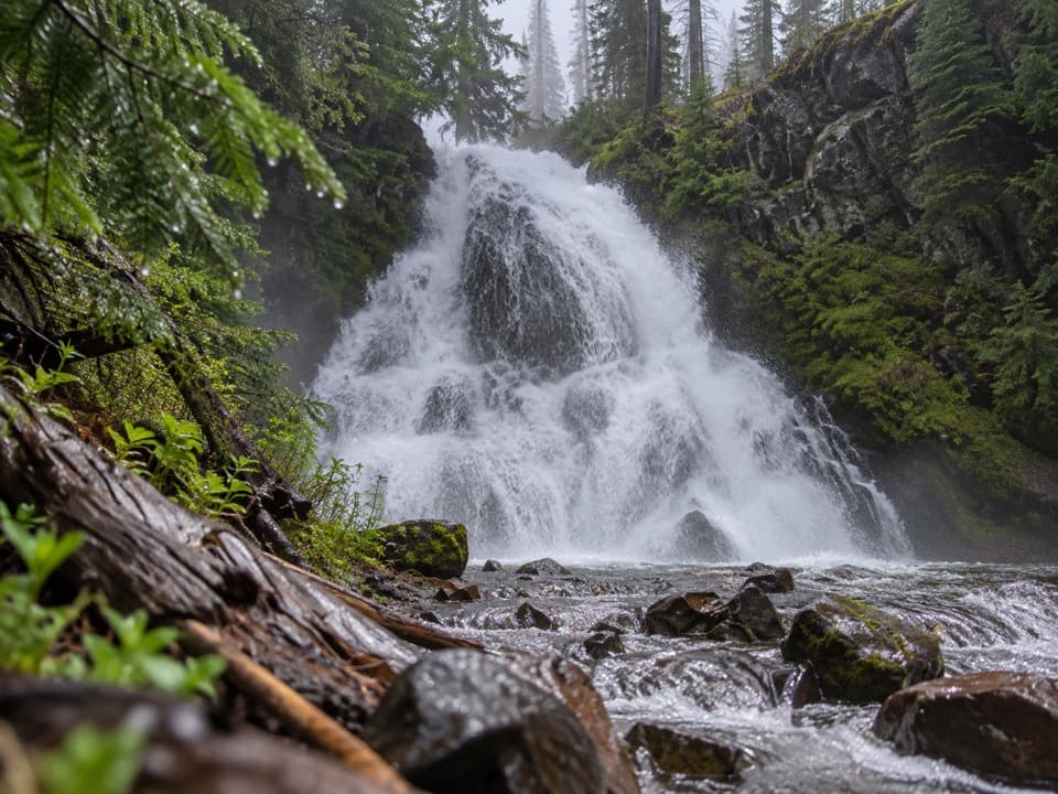 ModerateStuart Falls via Pumice Flat Trail11.9 mi · 6 hr · 2.9 mi awayA long walk from Pumice Flat reaches a waterfall beyond the park.
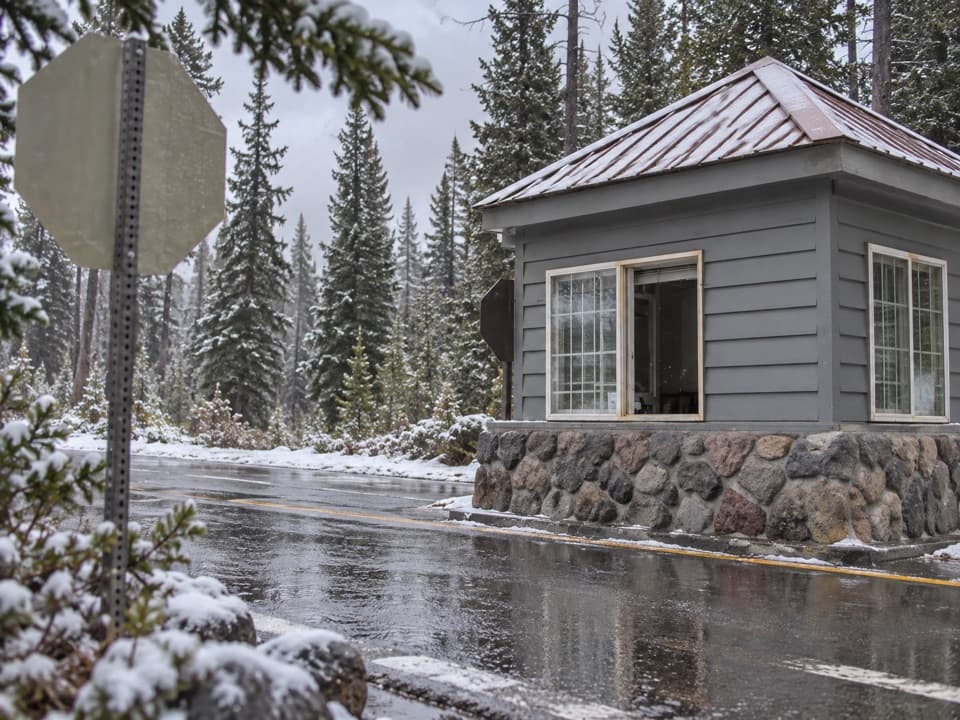 Entrance station · 0.6 mi awayAnnie Spring Entrance StationThe Highway 62 entry checkpoint for Crater Lake's south side.
 Restaurant · 0.7 mi awayAnnie Creek Restaurant & Gift ShopSeasonal meals, souvenirs and a separate scoop shop in Mazama Village.
 Store · 0.7 mi awayMazama Village StoreThe park’s only general store doubles as a seasonal fuel stop.
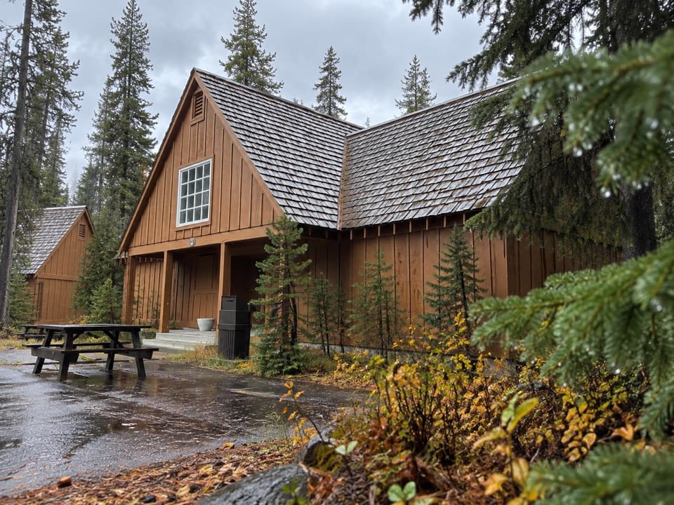 Lodging · 0.8 mi awayCabins at Mazama VillageA quiet pine-forest base, seven miles south of the rim.
 Campground · 1 mi awayMazama CampgroundA shady forest base six miles south of Rim Village.
 Picnic area · 1.4 mi awayGoodbye Picnic AreaA shaded picnic break with a creek that can roar after snowmelt.Sight · 2.9 mi awayLady of the WoodsA half-finished 1917 carving tucked into the forest.
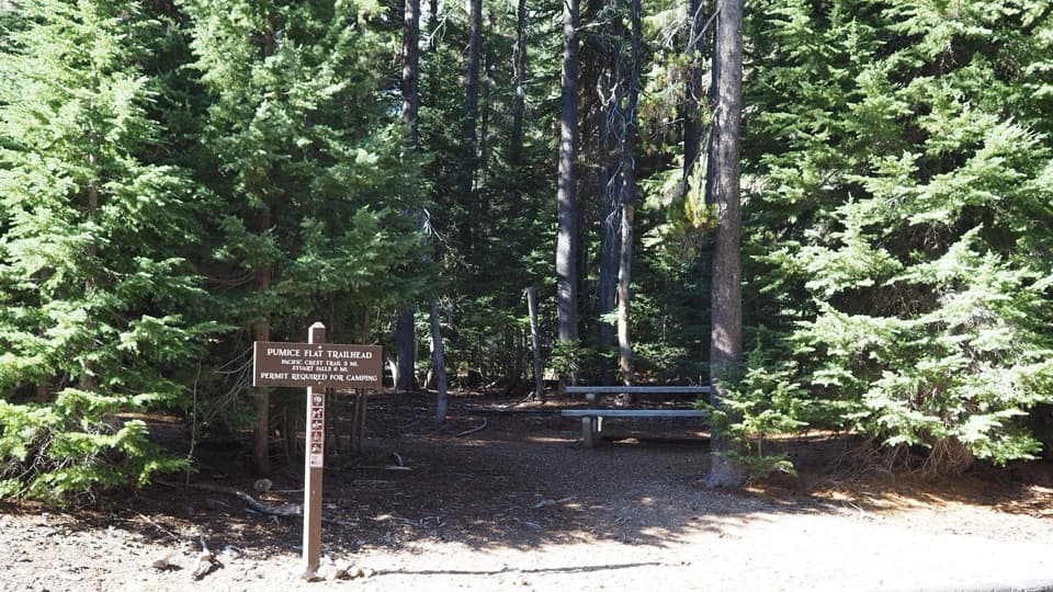 Picnic area · 2.9 mi awayLodgepole Picnic AreaA shady picnic stop beneath old-growth pines with trail access.
Parkwolf’s Crater Lake ranking

The audio tour guide for the drive, plus offline maps, trails, and wildlife heatmaps for when the signal drops.