
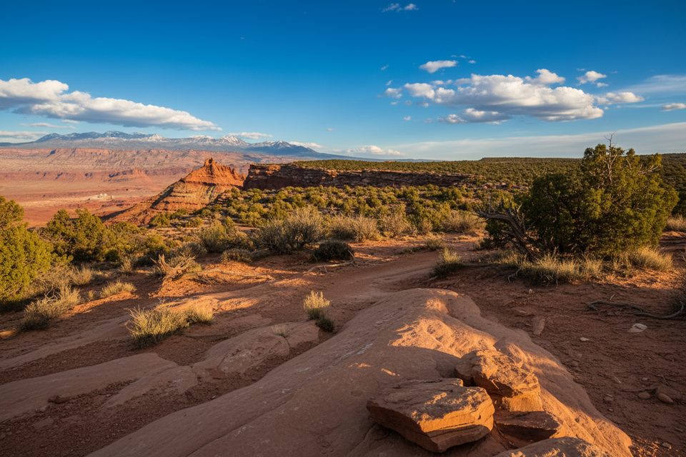
Place · 0.2 mi away
Easy
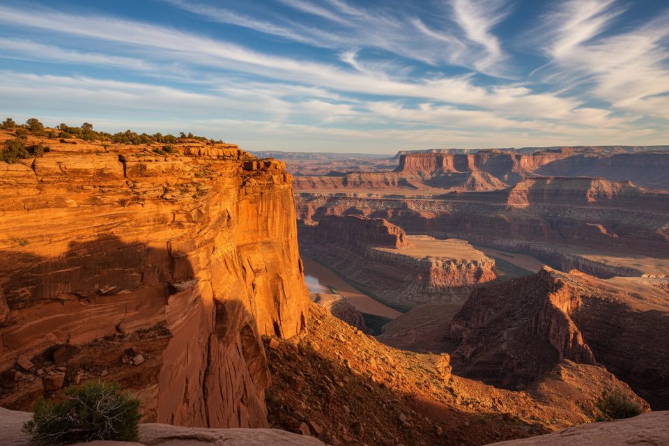
A signed spur off the West Rim Trail delivers a high-value payoff for minimal effort. From the visitor center you’ll stroll roughly 0.8 mi across piñon-juniper flats and undulating slickrock, then turn onto the short Meander spur for the final few hundred yards to the cliff edge. Round-trip distance is about **1.6 mi total**, and most hikers finish in 30–45 minutes.
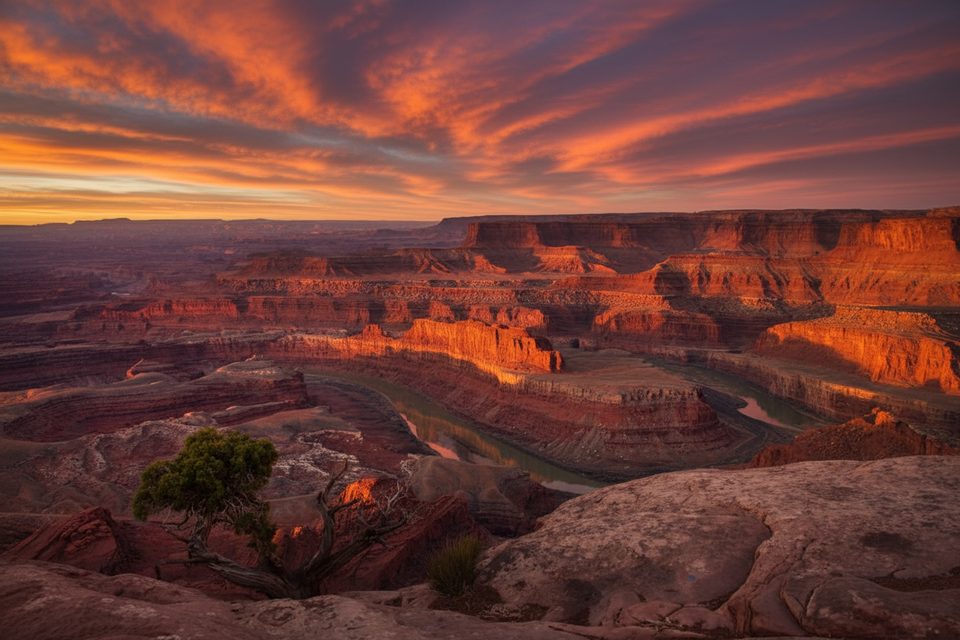
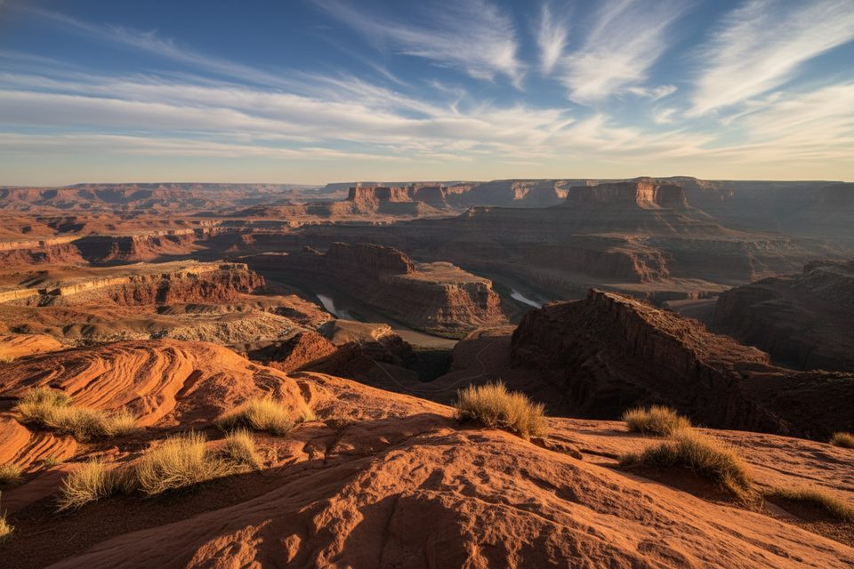
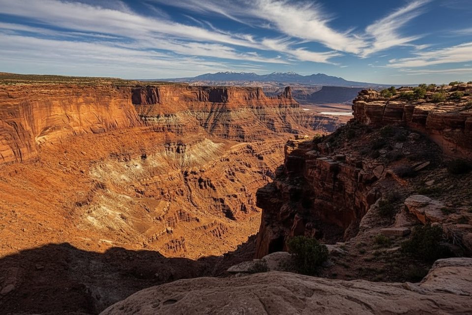
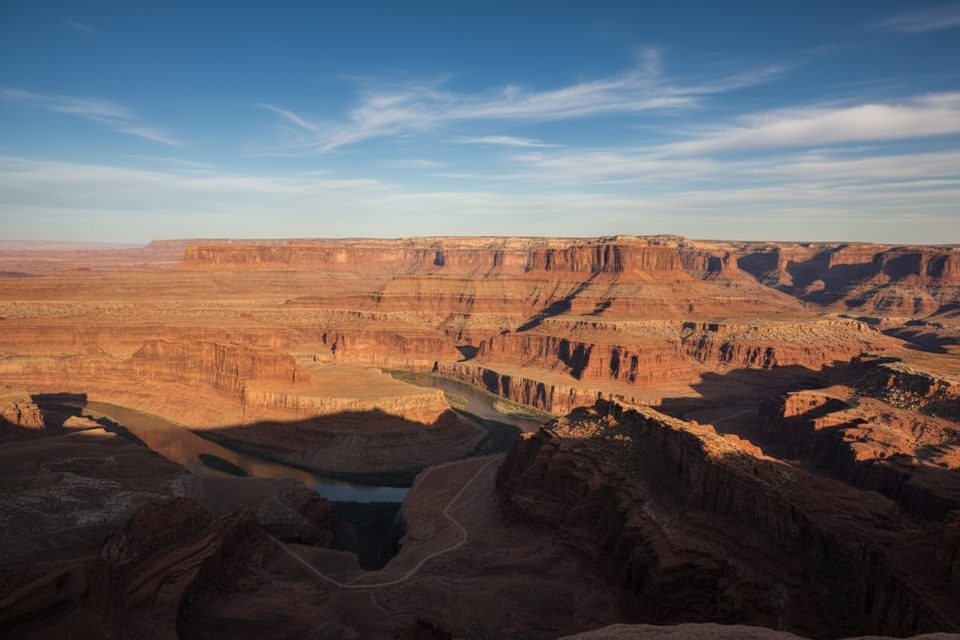
The overlook hangs 2,000 ft above the Colorado River as it loops in a textbook entrenched meander. Layer-cake sandstone walls glow orange and red, and late-day light can be spectacular. The view rivals crowd-magnet Dead Horse Point but usually sees a fraction of the traffic.
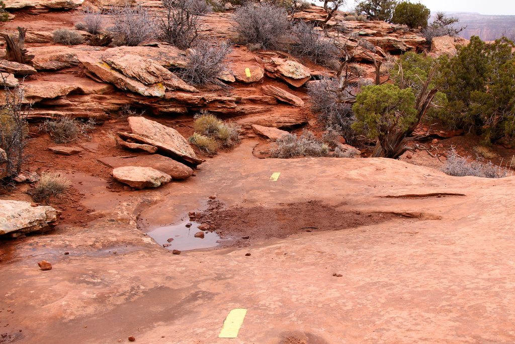
The route is essentially flat (≲50 ft of gentle ups and downs) but travels broken slickrock—grippy when dry, slippery if wet or sandy. Wayfinding is straightforward: follow cairns and faded paint stripes. Rated an easy **2/10** on the effort scale, yet sturdy shoes and basic desert preparedness still matter.
If you want blockbuster canyon vistas without committing to a longer loop—or jostling with bus tours—this is your move. The only reasons to skip are brutal midday heat or an absolute loathing of sun-exposed terrain. Otherwise it’s one of the park’s best reward-to-effort plays.
Start from the large Dead Horse Point Visitor Center lot; trail signs are behind the building.
Uneven slickrock and sheer drop-offs; carry water and keep pets leashed.
Place · 0.2 mi away
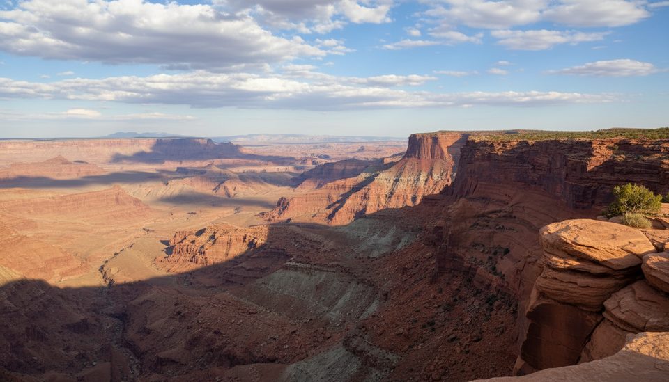
Place · 0.6 mi away
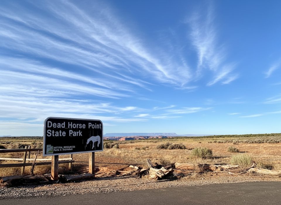
Place · 0.8 mi away
Place · 1.1 mi away
Easy · 0 mi away
Easy · 0 mi away
Easy · 0 mi away
Easy · 0 mi away

Parkwolf Tour Guide
