Pros & cons
PROS
- Overlooks see far fewer visitors than the paved viewpoints
- Continuous rim views with hardly any elevation gain
- Easy to turn into a loop using the East Rim connector
CONS
- Zero shade or water once you leave the visitor center
- Cairn-finding across slickrock can be confusing in low light
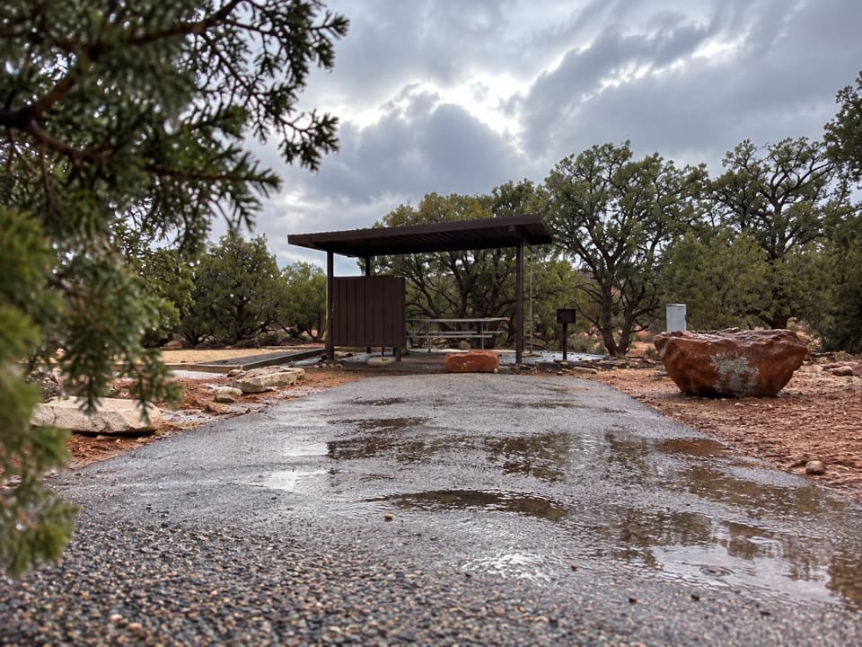
Large paved lot at the Dead Horse Point Visitor Center—trail starts behind the building
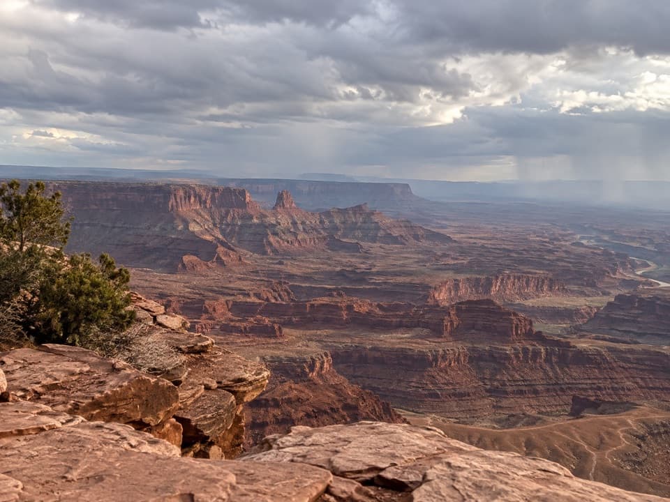
Fully exposed slickrock rim; carry ample water, watch drop-offs, avoid storms
What to Expect
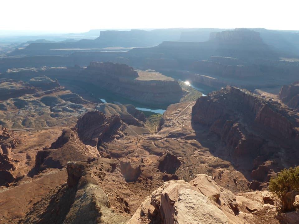
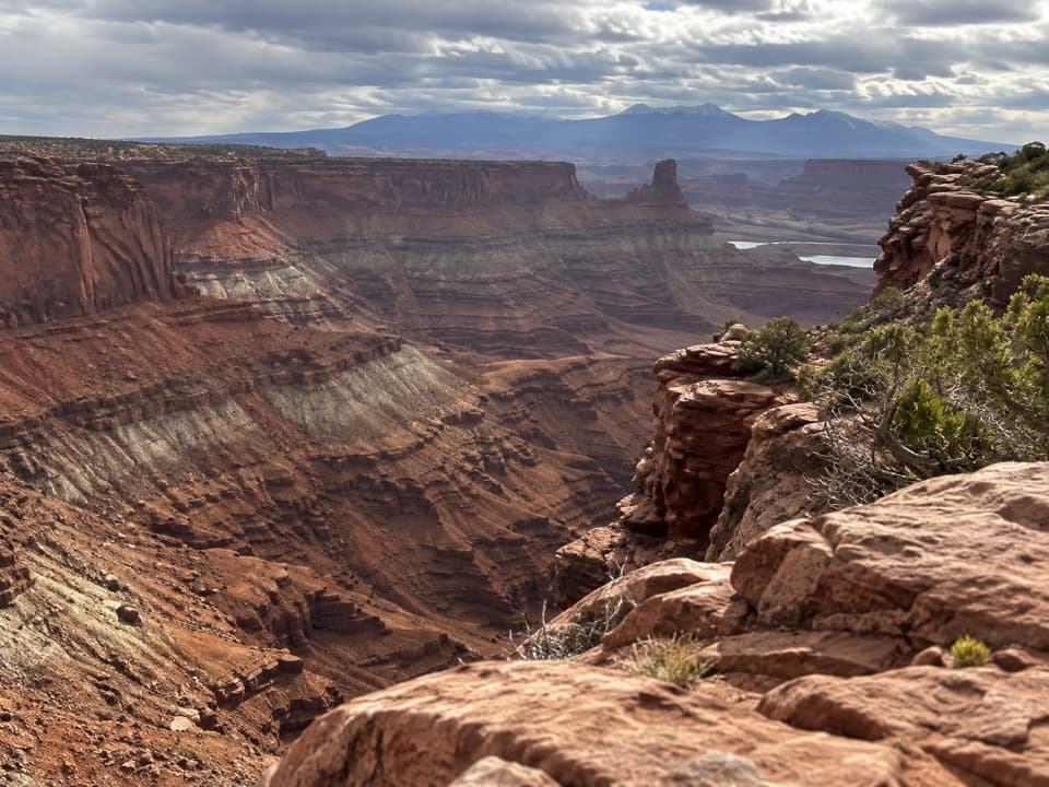
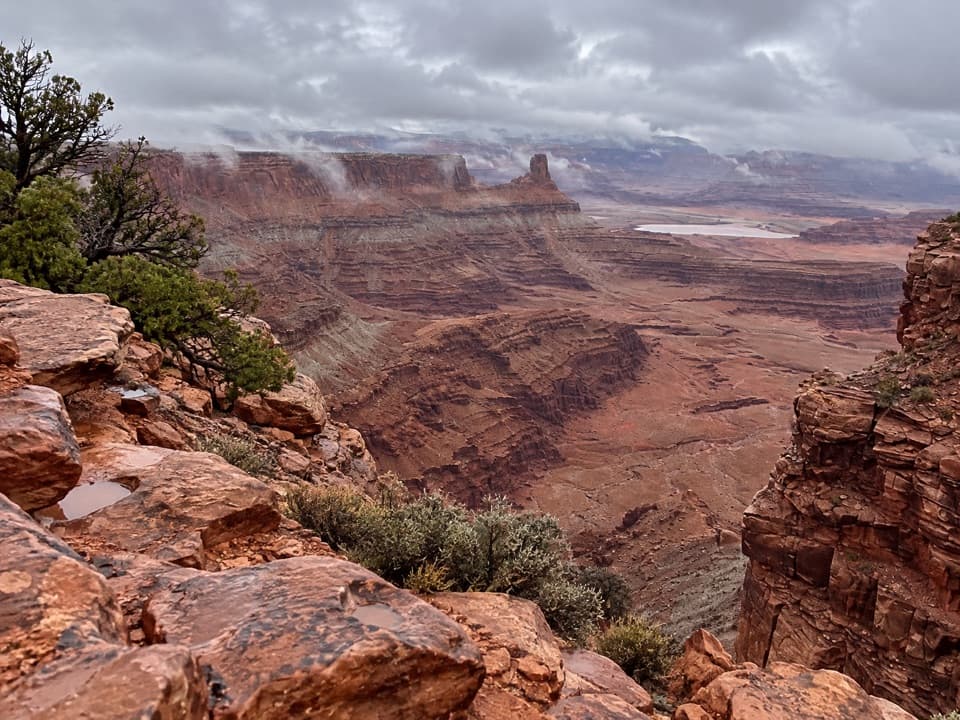
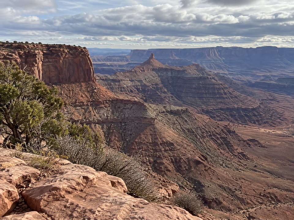
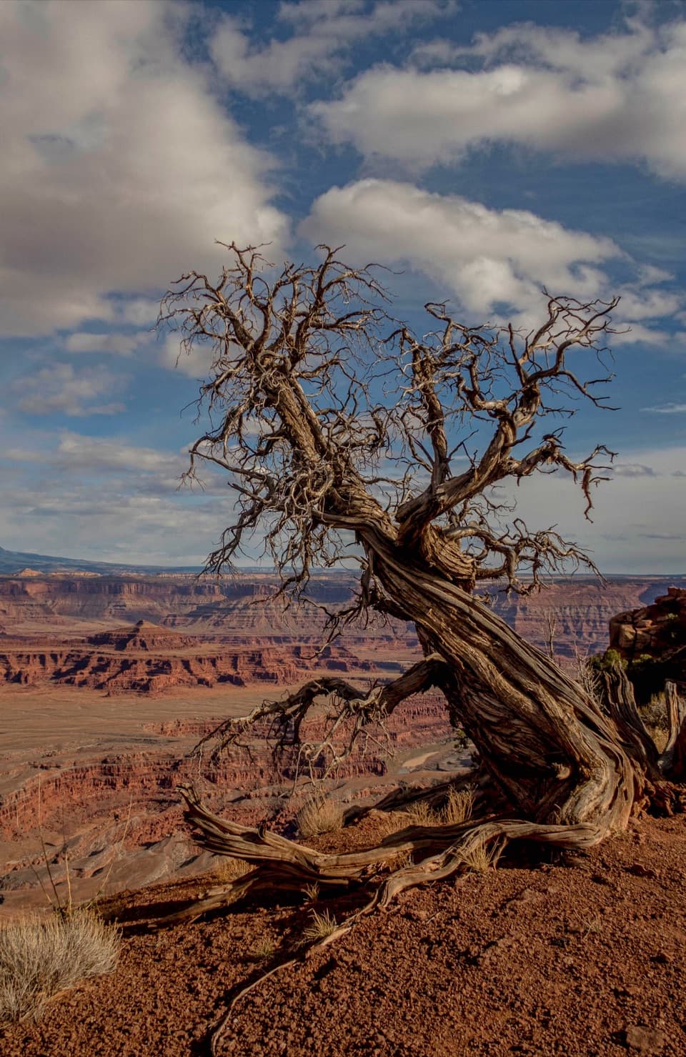
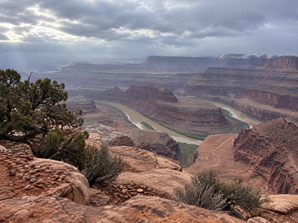
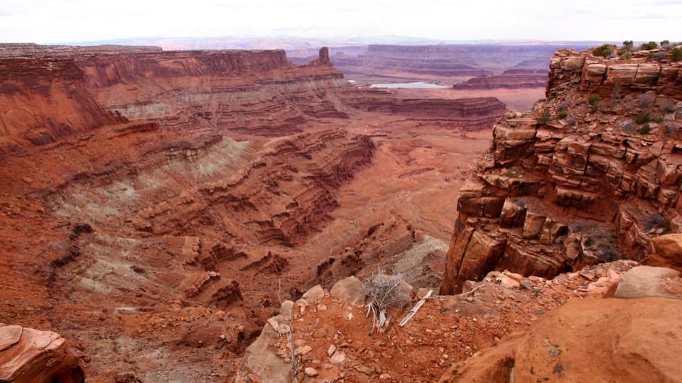
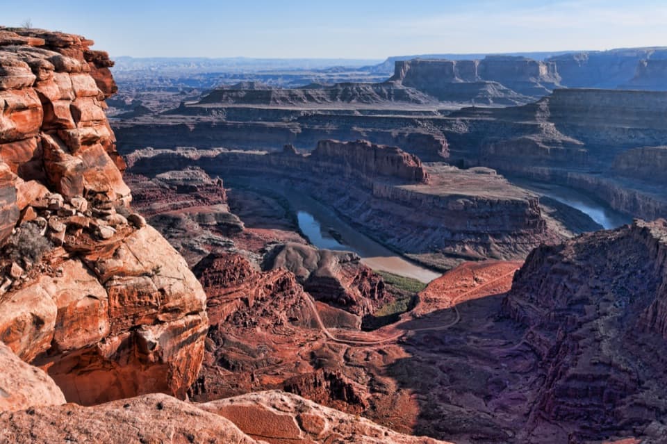
Dead Horse Point’s West Rim Trail is about **3.6 miles one-way** from the Visitor Center to Dead Horse Point Overlook. Most hikers either turn around for a 7-mile out-and-back or return on the shorter East Rim route to make a **5-mile loop**. The path threads juniper scrub and open slickrock before hugging the cliff edge to a string of signed spur viewpoints—Meander, Shafer, Rim, and Bighorn—each usually quieter than the park-road overlooks.
Terrain & Effort
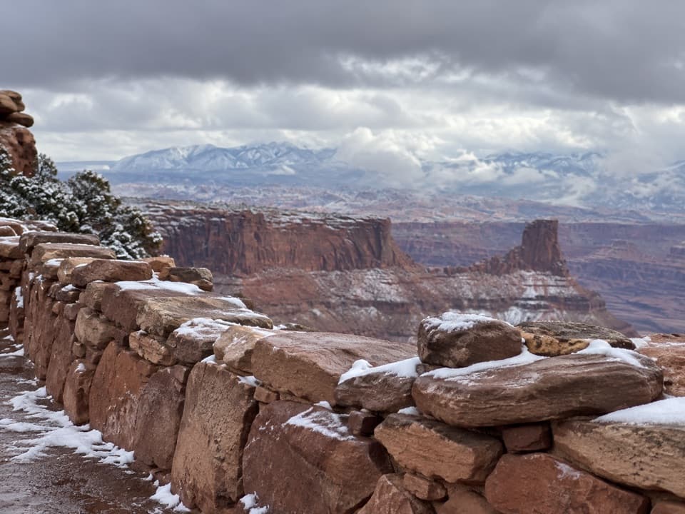
The park bills the walk as *relatively easy*: almost flat, but the tread is uneven sandstone. Expect to follow cairns across broad rock slabs. Footing is secure, yet there are 2,000-foot drop-offs inches from the trail in spots, so keep children and leashed dogs close.
Best (and Worst) Conditions
Spring and fall are prime; summer bakes the treeless mesa and hikers routinely underestimate how much water they need. Afternoon wind can howl across the rim, and thunderstorms turn the exposed slickrock into a lightning rod—plan exits accordingly.
Is It Worth It?
If you want world-class canyon panoramas without a lung-busting climb, the West Rim is the park’s sweet spot. The scenery rivals the famous main overlook, crowds thin out after the first half-mile, and you can tailor the distance with the East Rim connector. Navigation quirks and full exposure are the only real downsides.
Elevation
3.6 mi · 2.5 hrWhere it starts
38.5054, -109.7294Wildlife on this trail
Near West Rim Trail
All places →All trails →
0 mi awayShafer Canyon Overlook TrailShort spur to huge Shafer Canyon views, quieter than the Point.Easy · 1 mi · 30 min
0 mi awayMeander Overlook TrailShort spur to a quieter rim view of the Colorado’s big U-turnEasy · 1.6 mi · 45 min
0 mi awayThe Colorado Overlook TrailMicrosized stroll to rim’s signature Colorado River panoramaEasy · 0.1 mi · 15 min
0 mi awayRim Overlook TrailShort spur to wide-open canyon vistas perched 2,000 feet above riverEasy · 2 mi · 1 hr
0.2 mi awayDead Horse Point State Park Mountain Bike RentalsTrailhead bike rentals for scenic, beginner-friendly mesa singletrackTrailhead · Restroom
0.6 mi awayPyramid Canyon OverlookQuiet rim viewpoint on the Great Pyramid loop with big canyon viewsScenic Viewpoint
0.8 mi awayDead Horse Point State Park Entrance StationPay your fee and grab a map at the gateEntrance Station · Pullout
1.1 mi awayBig Chief OverlookQuiet rim overlook with potash mine views and distant La SalsScenic Viewpoint